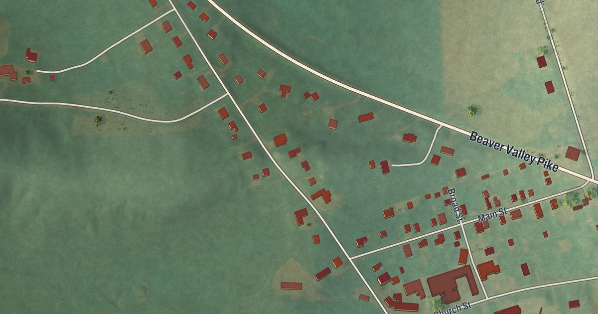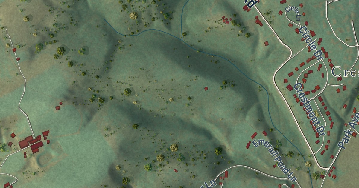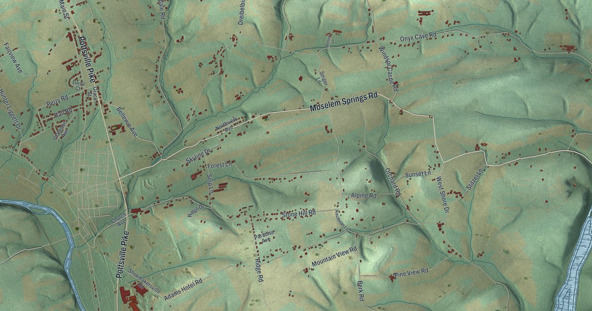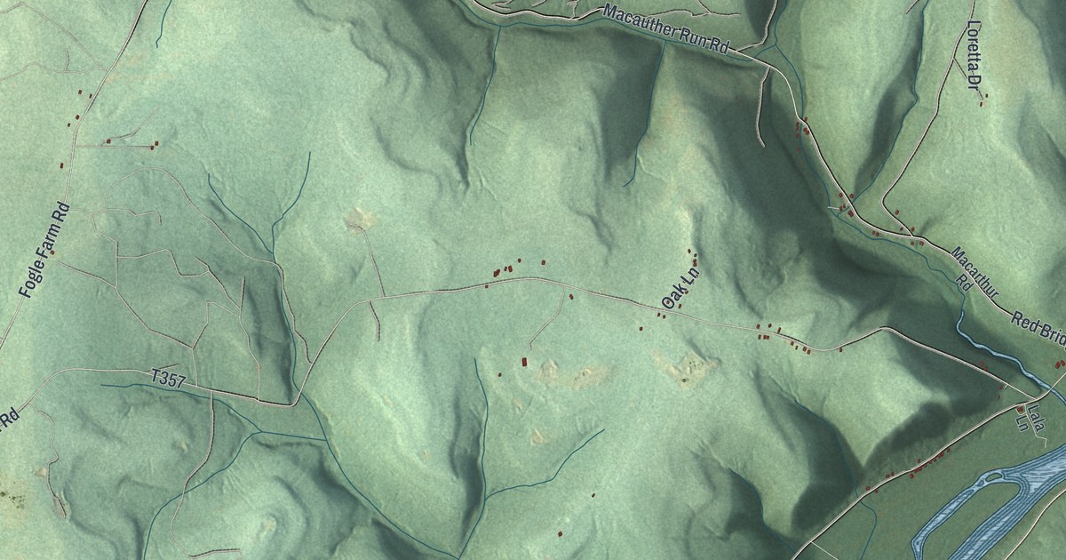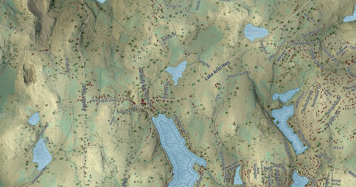
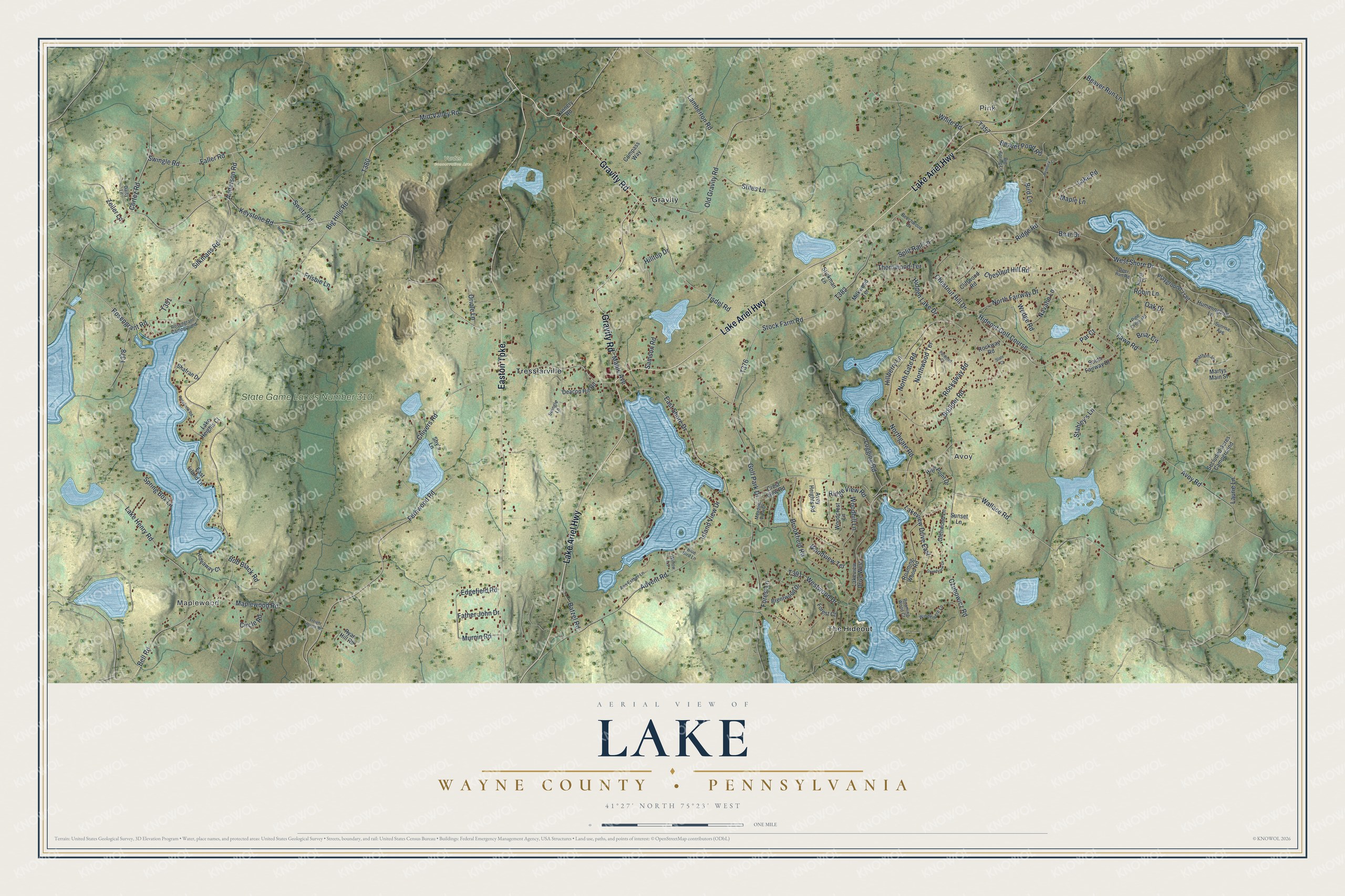
This beautifully detailed map of Lake, Wayne County, Pennsylvania was created in 2026 using aerial imagery combined with modern topographical, census, street and landmark data. It’s a one-of-a-kind view of Lake that combines accurate data with a vintage aesthetic. The map shows every building in its true location, many of the roads carry their names, and the shaded topographic relief shows the shape of the land.
Explore an aerial view of Lake, Wayne County, Pennsylvania
On the map you’ll find Maplewood, Pink, Avoy, State Game Lands Number 310, Varden Conservation Area, Gravity, The Hideout, and Tresslarville, along with Gravity Road, Lake Ariel Highway, Easton Turnpike, and more. If you look closely you can even find your house accurately drawn in its correct location. Zoom in on the preview to look for yours.
Did you know this piece of Lake, Wayne County, Pennsylvania history?
From Lake Township: "Incorporated in 1876, Lake is a second-class township in Wayne County, Pennsylvania. The township’s population was 5,269 at the time of the 2010 United States Census."
Take a closer look at the Lake, Wayne County map
Street and place names on the Lake, Wayne County, Pennsylvania map
These names are printed on the map of Lake, Wayne County, Pennsylvania.
Places: Maplewood, Pink, Avoy, State Game Lands Number 310, Varden Conservation Area, Gravity, The Hideout, Tresslarville and Hideout Golf Course.
Streets and roads: Gravity Road, Lake Ariel Highway, Easton Turnpike, Stock Farm Road, Keystone Road, Rosengrant Road, Chestnut Hill Drive, Chestnut Hill Road, Silkmans Road, North Fairway Drive, Anderson Road, Spring Box Lane.
More street names, A to Z
Advent Road, Ann Esther Lane, Avoy Heights Road, Avoy Road, Batzel Road, Bear Drive, Beaver Pond Road, Beaver Run Lane, Beechwood Drive, Bell Road, Big Hills Road, Big Spring Lane, Bird Lane, Blue Bird Lane, Bob Black Road, Boulder Road, Brentwood Drive, Briar Circle, Brookfield Road, Chivers Road, Circle Road, Cliffwood Road, Compass Way, Cortez Road, Crest View Road, Czubowicz Road, Daisy Lane, Deacon Hill Road, Deer Run Road, East Island Lane, East Shore Drive, Edgefield Road, Faller Road, Farwood Court, Father John Drive, Fawn Road, Fernwood Road, Forest Court, Forest Lane, Freight House Road, Frisbie Lane, Glenwood Lane, Golf Park Drive, Grandview Drive, Harrys Court, Hemlock Lane, Hidden Lake Drive, Hideaway Court, High Point Drive, Hillberry Lane, Hilltop Drive, Hummingbird Lane, Island View Drive, Jonathon Jct, Lake Heights Court, Lake Henry Road, Lake Road, Lakeview Drive East, Lakeview Drive West, Lamberton Road, Laurie Lane, Logging Road, Maple Avenue, Maple Lane, Maplewood Road, Martys Main Street, Meadow View Drive, Mid-Valley Road, Milkwood Terrace, Murnin Road, Navaho Lane, None, Northgate Road, North Gate Road, Northwood Terrace, Oak Drive, Old Gravity Road, Oriole Lane, Par Court, Pine Creek Road, Playground Trail, Ridge Road, Ridge View Road, Roaming Wood Court, Roaming Wood Road, Robin Lane, Rockaway Road, Rockway Road, Rosebank Road, Rosengrant Campground, Ryan Hill Road, Samson Road, Secluded Acres Campground, Shafran Drive, Shy's Lane, Slate Court, South Fairway Drive, Split Rail Lane, Stahley's Lane, Stickman Lane, Stiles Lane, Sunrise Avenue, Sunset Lane, Swetz Road, Swingle Lane, Swingle Road, Tannery Road, Thornwood Terrace, Tisdel Road, Wallace Road, Wedge Road, West Shore Drive, Westwood Drive, White Road, Willow Lane, Windemere Lane, Woodcrest Lane, Woodhill Lane, Woodview Terrace, Zeiler Lane.
See the Lake, Wayne County, Pennsylvania map on a wall
The Lake, Wayne County map as an 18 x 24 inch print in a black frame.

This beautifully detailed map of Lake, Wayne County makes an attractive addition to your office, library, or den, and it can even be used to teach children the geography and history of the area. It also makes a great gift for anyone who grew up in Lake or moved away. When you’re done exploring, click here to get your copy of the Lake, Wayne County map.