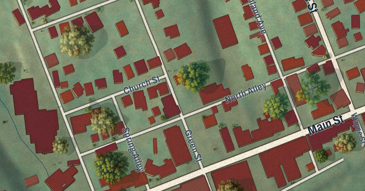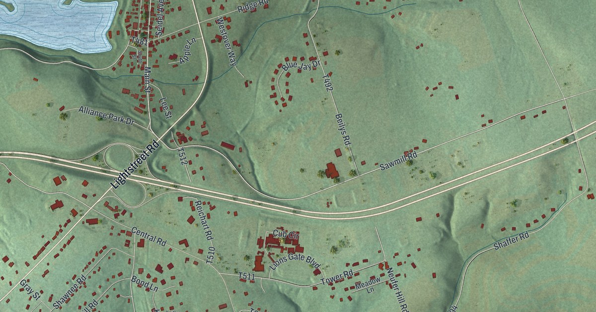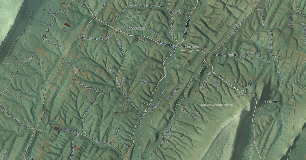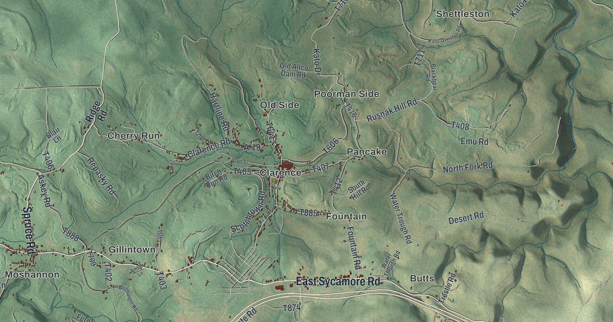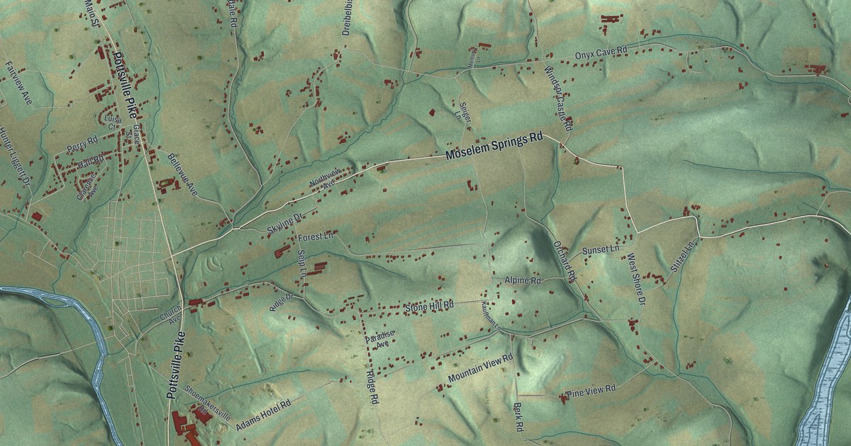
This beautifully detailed map of Perry, Berks County, Pennsylvania was created in 2026 using aerial imagery combined with modern topographical, census, street and landmark data. It’s a one-of-a-kind view of Perry that combines accurate data with a vintage aesthetic. The map shows every building in its true location, many of the roads carry their names, and the shaded topographic relief shows the shape of the land.
Explore an aerial view of Perry, Berks County, Pennsylvania
On the map you’ll find Five Locks and Virginville, along with Ontelaunee Trail, Pottsville Pike, Moselem Springs Road, Perry Road, Fairview Avenue, Main Street, Onyx Cave Road, Virginville Road, Adams Hotel Road, Fairview Road, and more. If you look closely you can even find your house accurately drawn in its correct location. Zoom in on the preview to look for yours.
Did you know this piece of Perry, Berks County, Pennsylvania history?
From LivingPlaces: "An act passed in 1821 provided that the township of Perry should be a separate election district, and it was not until 1852 that the township was actually established."
Take a closer look at the Perry, Berks County map
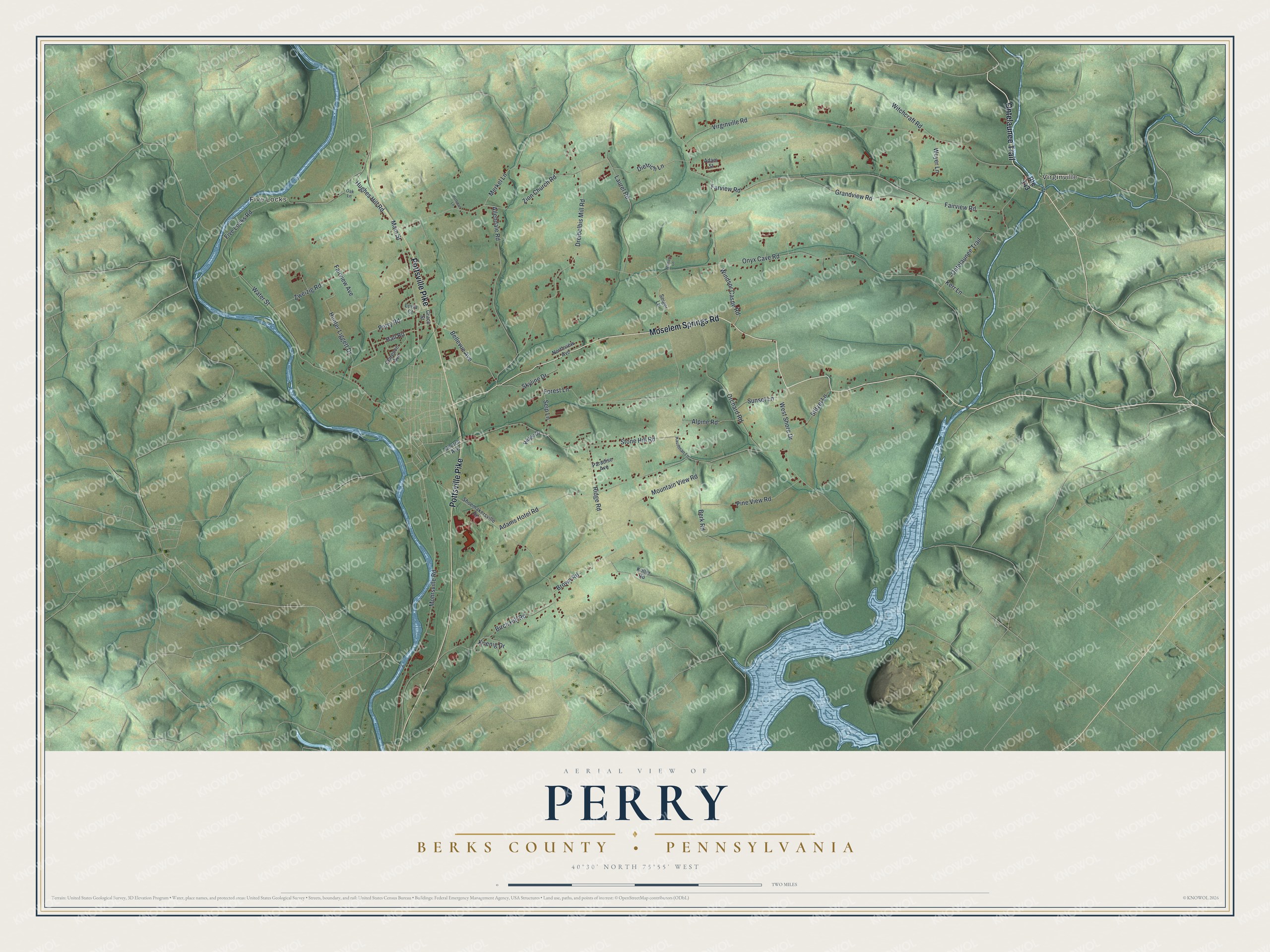
Street and place names on the Perry, Berks County, Pennsylvania map
These names are printed on the map of Perry, Berks County, Pennsylvania.
Places: Five Locks and Virginville.
Streets and roads: Ontelaunee Trail, Pottsville Pike, Moselem Springs Road, Perry Road, Fairview Avenue, Main Street, Onyx Cave Road, Virginville Road, Adams Hotel Road, Fairview Road, Farview Road, Ridge Road.
More street names, A to Z
Adam Street, Allendale Road, Alpine Road, Bellevue Avenue, Berk Road, Birch Hill Road, Brown Road, Church Avenue, Clarence Avenue, Dietrich Lane, Dreibelbis Mill Road, Five Locks Road, Forest Lane, Grace Street, Grandview Road, Hall Road, Hoffman Lane, Hughes Hill Road, Hunter Liggett Drive, Kauffman Lane, Kerr Lane, Koenig Drive, Koller Road, Laurel Road, Luisa Court, Memory Lane, Merkel Lane, Mohrsville Road, Mountain View Road, Northview Avenue, Oak Lane, Orchard Road, Paradise Avenue, Pine View Road, Ridge Drive, Route 143, Seiger Lane, Seip Lane, Shoemakersville Road, Skyline Drive, Stitzel Lane, Stone Hill Road, Sunset Lane, Water Street, West Shore Drive, Weyer Lane, Windsor Castle Road, Witchcraft Road, Zion Church Road, Zweizig Road.
See the Perry, Berks County, Pennsylvania map on a wall
The Perry, Berks County map as an 18 x 24 inch print in a black frame.

This beautifully detailed map of Perry, Berks County makes an attractive addition to your office, library, or den, and it can even be used to teach children the geography and history of the area. It also makes a great gift for someone who left Perry and still calls it home. When you’re done exploring, click here to get your copy of the Perry, Berks County map.