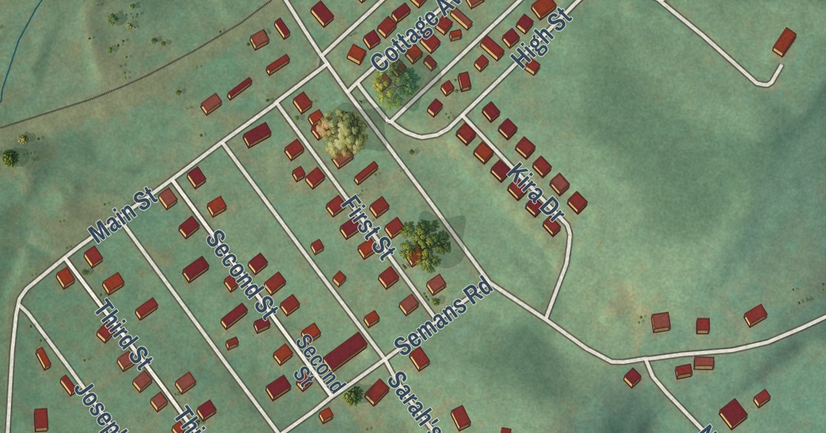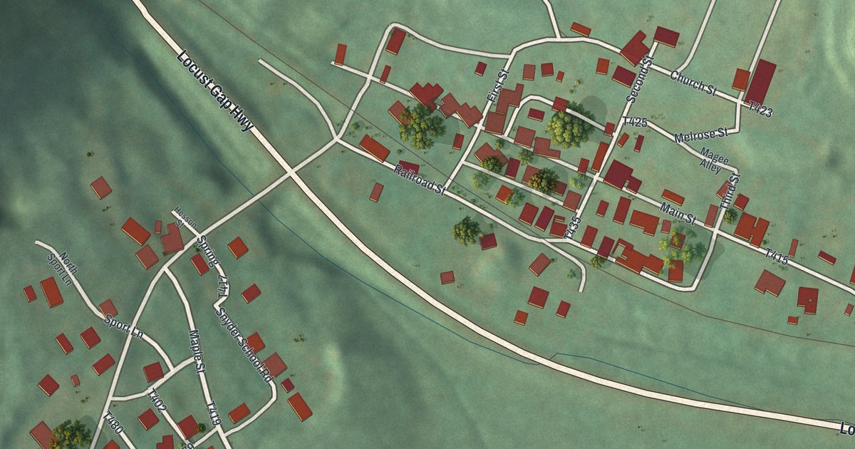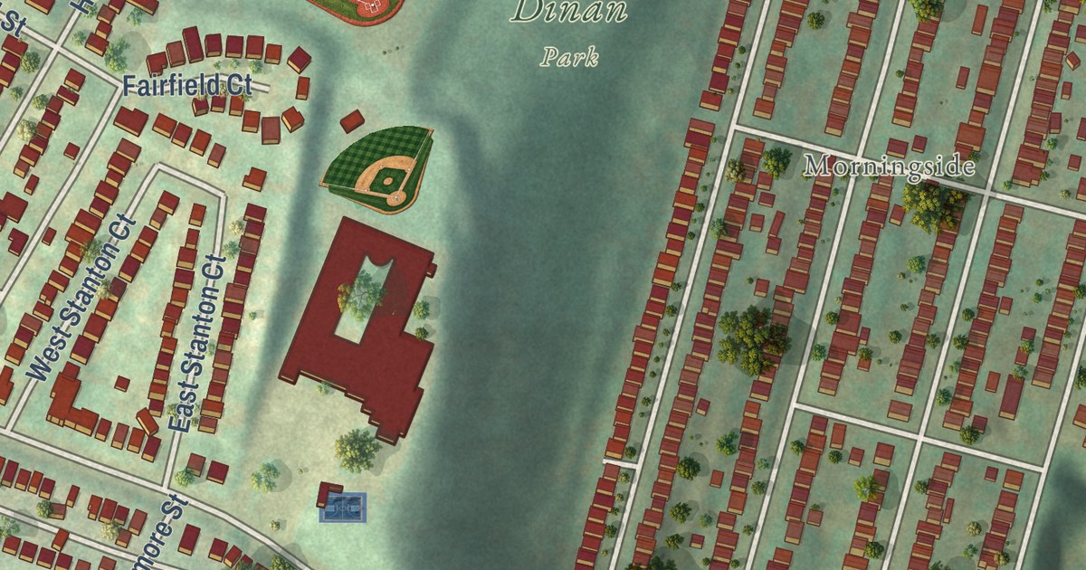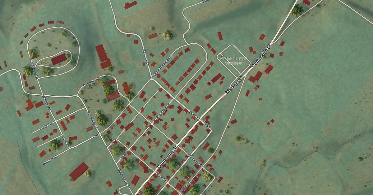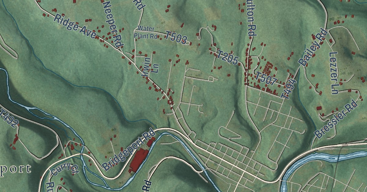
This beautifully detailed map of Pike, Clearfield County, Pennsylvania was created in 2026 using aerial imagery combined with modern topographical, census, street and landmark data. It’s a one-of-a-kind view of Pike that combines accurate data with a vintage aesthetic. The map shows every building in its true location, many of the roads carry their names, and the shaded topographic relief shows the shape of the land.
Explore an aerial view of Pike, Clearfield County, Pennsylvania
On the map you’ll find Olanta, Bloomington, Moshannon State Forest, and Bridgeport, along with Windy Hill Road, Curwensville Grampian Road, Bailey Settlement Highway, Lumber City Highway, Village Road, Greenwood Road, Walker Road, and more. If you look closely you can even find your house accurately drawn in its correct location. Zoom in on the preview to look for yours.
Did you know this piece of Pike, Clearfield County, Pennsylvania history?
From the 1887 History of Clearfield County, Pennsylvania : "Tradition has it, and it is now universally conceded, that the first school in Clearfield county was taught in 1804 in a log cabin near Thomas McClure's, in Pike township, being about two miles south of the present site of Curwensville."
Take a closer look at the Pike, Clearfield County map
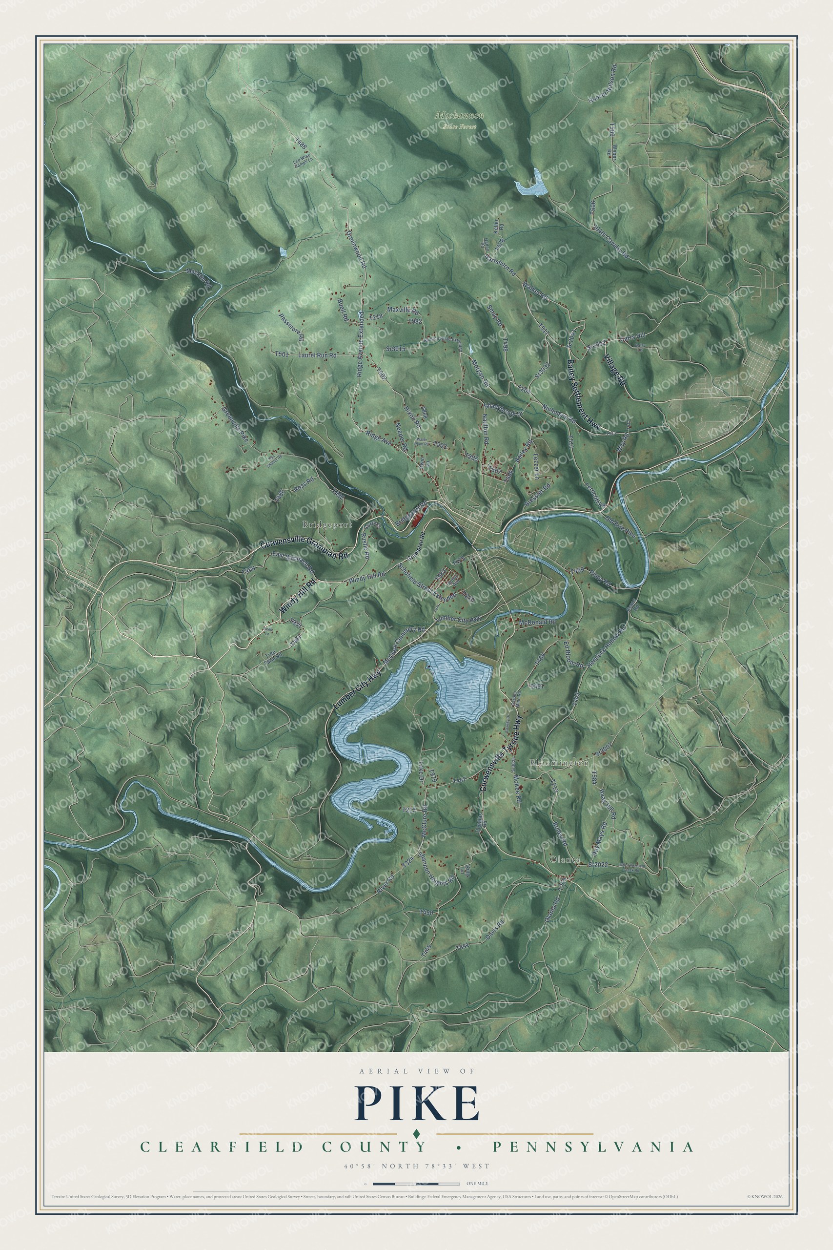
Street and place names on the Pike, Clearfield County, Pennsylvania map
These names are printed on the map of Pike, Clearfield County, Pennsylvania.
Places: Olanta, Bloomington, Moshannon State Forest and Bridgeport.
Streets and roads: Windy Hill Road, Curwensville Grampian Road, Bailey Settlement Highway, Lumber City Highway, Village Road, Curwensville Tyrone Highway, Greenwood Road, Walker Road, Ridge Avenue, Naulton Road, Morgan Road, Sr2041.
More street names, A to Z
104th Cavalry Road, Bailey Road, Bressler Road, Bridgeport Road, Buell Road, Carbon Mine Road, Carrs Hill, Curry Court, Dairy Lane, Davis Road, Doc Shaffer Road, Douglas Road, East Stronach Road, Ed Bloom Road, Elensky Drive, Evans Road, Ferncliff Road, Grampian Road, Greenville Pike, Haag Hill Road, Hartshorn Road, Hemlock Hollow Road, Hixon Road, Hoover Nelson Road, Irwin Lane, Keller Road, King Lane, Lake Drive, Laurel Run Road, Leo Wise Camps Lane, Lezzer Lane, Little Clearfield Creek Road, Macklin Road, Maxville Road, McClure Cemetery Road, McClure Road, McDonald Road, McKee Road, Naulton Road Extended, Neeper Road, Nicholson Road, Ogden Road, Olanta Road, Old Erie Pike, Passmore Road, Piney Road, Reed Lane, Ridge Avenue Extended, River Road, Roblin Avenue, Rolley Road, Ross Road, Roy Mays Road, Rustic Road, Schofield Street Extended, Shadybrook Drive, Shannon Heights Road, Smay Road, Sr1002, Sr2022, Sr3007, Sr3015, Sr3025, Sr3032, Tree Farm Road, Water Plant Road, Way Road, Weber Road.
See the Pike, Clearfield County, Pennsylvania map on a wall
The Pike, Clearfield County map as an 18 x 24 inch print in a black frame.

This beautifully detailed map of Pike, Clearfield County makes an attractive addition to your office, library, or den, and it can even be used to teach children the geography and history of the area. It also makes a great gift for someone who left Pike and still calls it home. When you’re done exploring, click here to get your copy of the Pike, Clearfield County map.