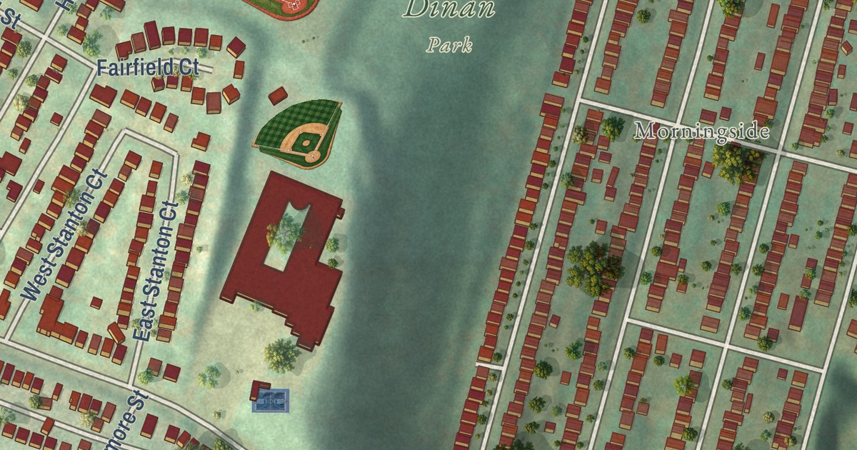
This beautifully detailed map of Stanton Heights, Pennsylvania was created in 2026 using aerial imagery combined with modern topographical, census, street and landmark data. It’s a one-of-a-kind view of Stanton Heights that combines accurate data with a vintage aesthetic. The map shows every building in its true location, many of the roads carry their names, and the shaded topographic relief shows the shape of the land.
Explore an aerial view of Stanton Heights, Pennsylvania
On the map you’ll find Dinan Park and Morningside, along with Butler Street, Christopher Street, Brintell Street, Stanton Avenue, Woodbine Street, Coleridge Street, Camelia Street, McCandless Avenue, Price Way, Hawthorne Street, and more. If you look closely you can even find your house accurately drawn in its correct location. Zoom in on the preview to look for yours.
Take a closer look at the Stanton Heights map
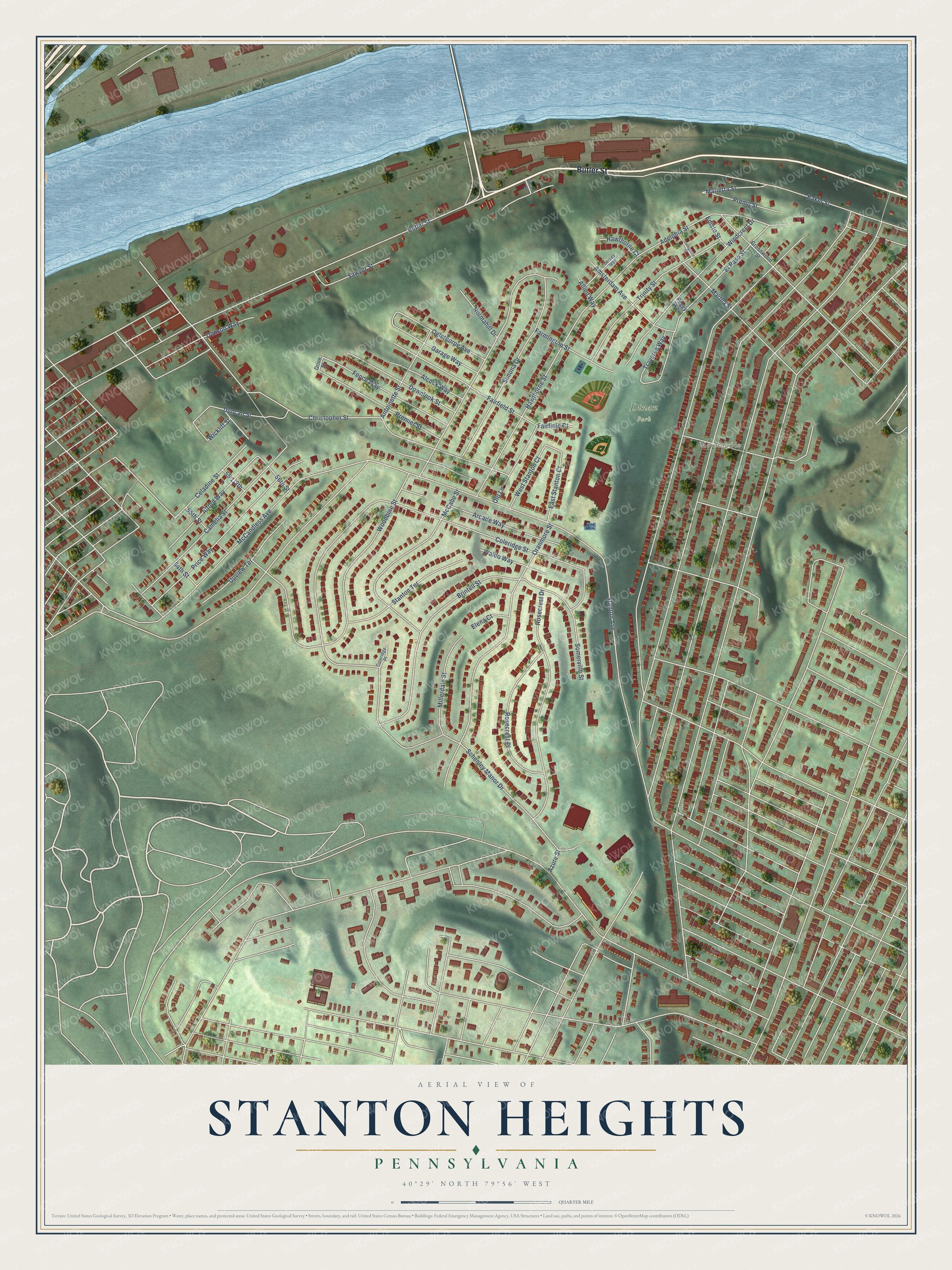
Street and place names on the Stanton Heights, Pennsylvania map
These names are printed on the map of Stanton Heights, Pennsylvania.
Places: Dinan Park and Morningside.
Streets and roads: Butler Street, Christopher Street, Brintell Street, Stanton Avenue, Woodbine Street, Coleridge Street, Camelia Street, McCandless Avenue, Price Way, Hawthorne Street, Oranmore Street, Schenley Manor Drive.
More street names, A to Z
54th Street, 55th Street, 56th Street, Adelphia Street, Alcock Way, Alford Way, Allied Way, Amsterdam Avenue, Antoinette Street, Arcade Way, Azure Street, Baker Street, Celadine Street, Coleridge Place, Donson Way, Downlook Street, Drive Street, Duncan Street, East Stanton Court, Edisto Street, Elena Court, El Paso Street, Fairfield Court, Fairfield Street, Farmington Street, Fence Way, Garage Way, Greenwood Street, Hawthorne Court, Jersey Way, Livingston Street, Livonia Street, Marietta Street, Martha Street, McCabe Street, Millerdale Street, Normahill Drive, Oglethorpe Avenue, Old Lane, Peggy Way, Premier Street, Premo Street, Rosecrest Drive, Rosecrest Place, Sawyer Street, Simona Drive, Somerville Street, Stanton Terrace, Traverse Way, Trinity Street, Upview Terrace, Waldo Way, West Stanton Court, Wickliff Street, Windcrest Drive.
See the Stanton Heights, Pennsylvania map on a wall
The Stanton Heights map as an 18 x 24 inch print in a black frame.

This beautifully detailed map of Stanton Heights makes an attractive addition to your office, library, or den, and it can even be used to teach children the geography and history of the area. It also makes a great gift for someone who left Stanton Heights and still calls it home. When you’re done exploring, click here to get your copy of the Stanton Heights map.