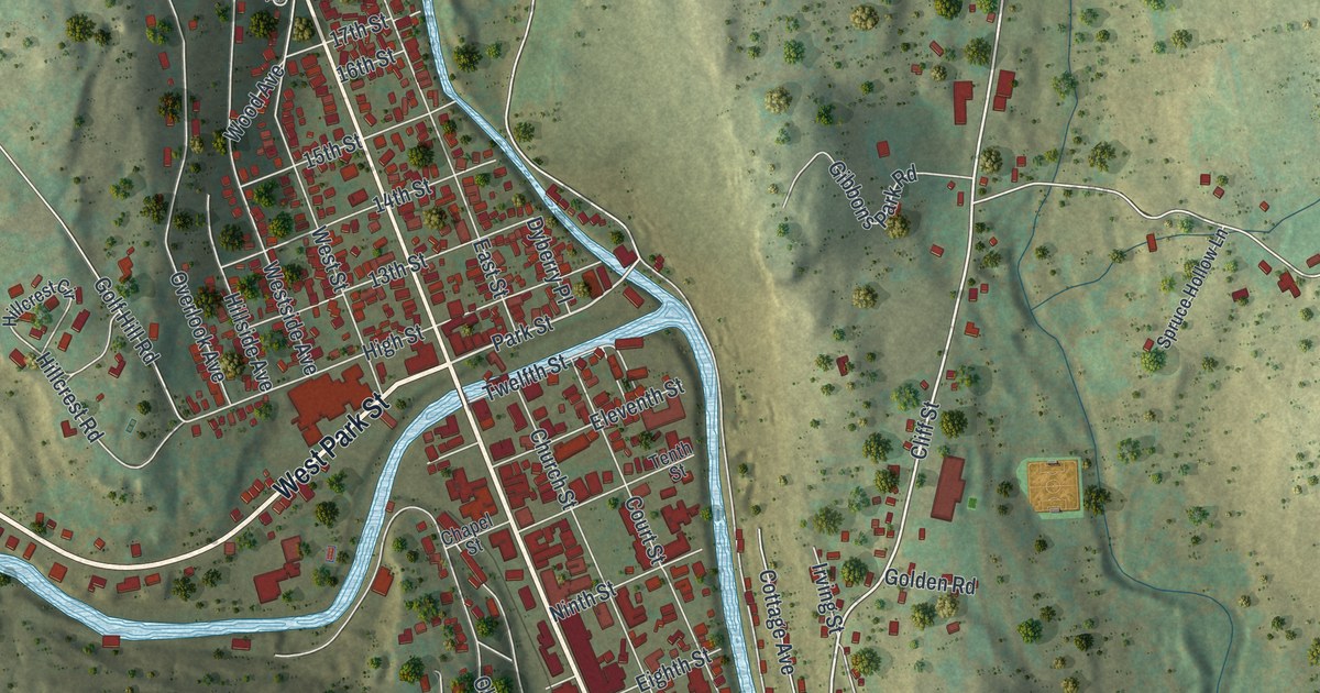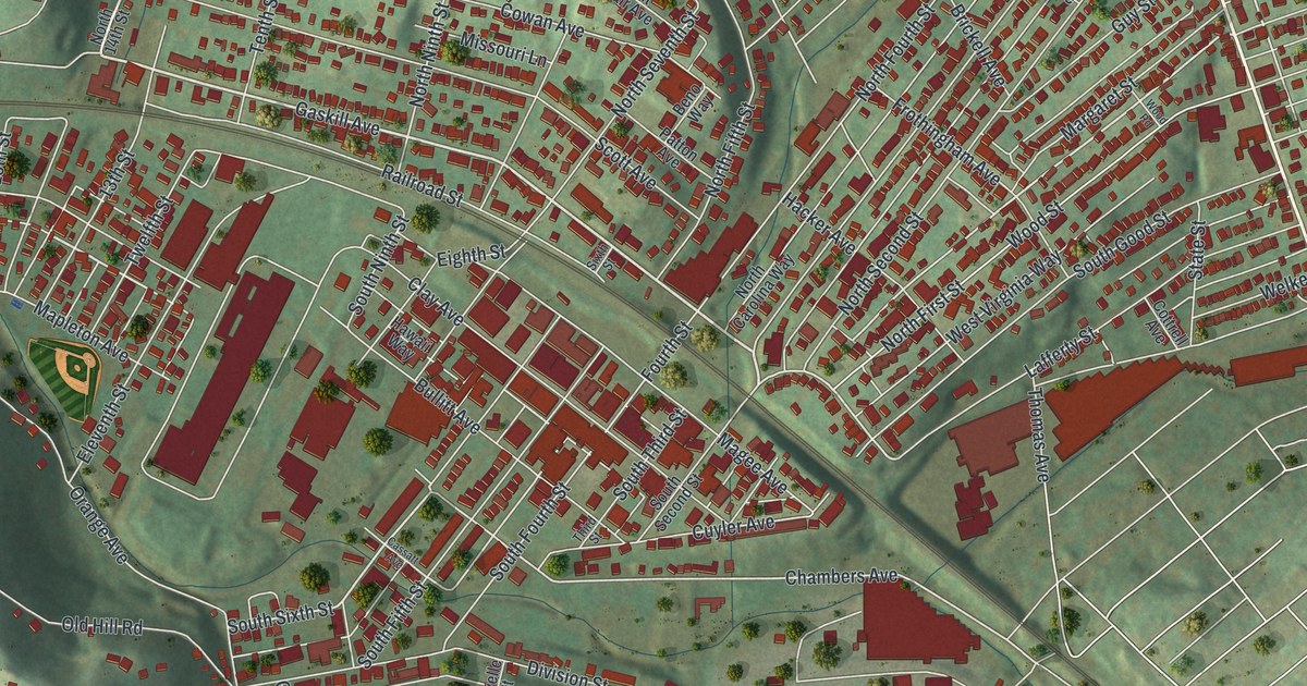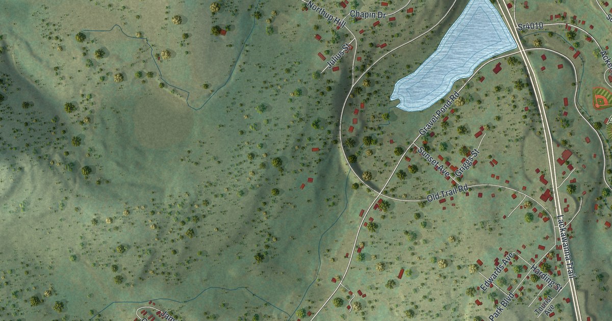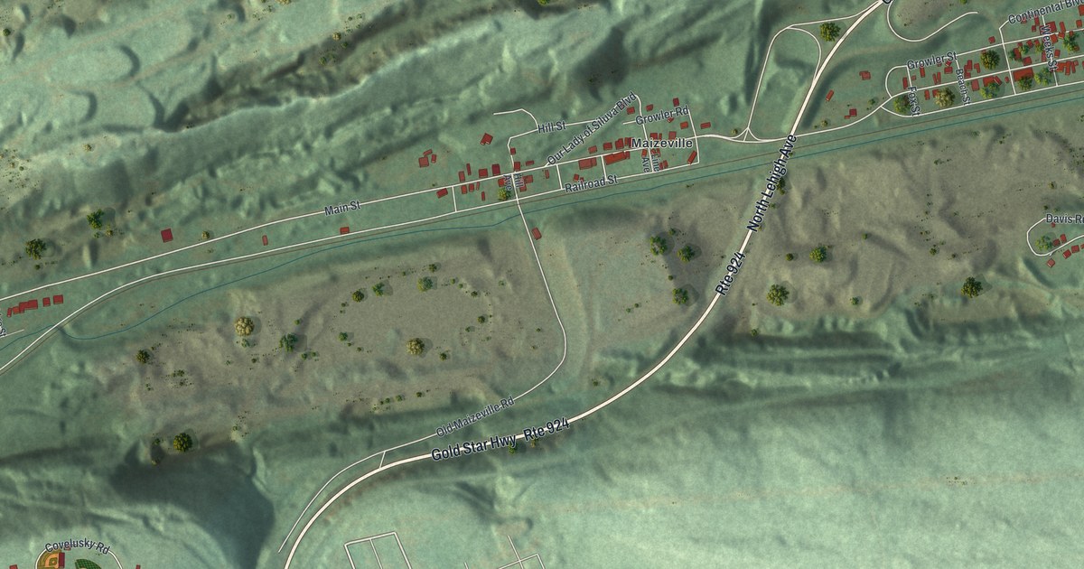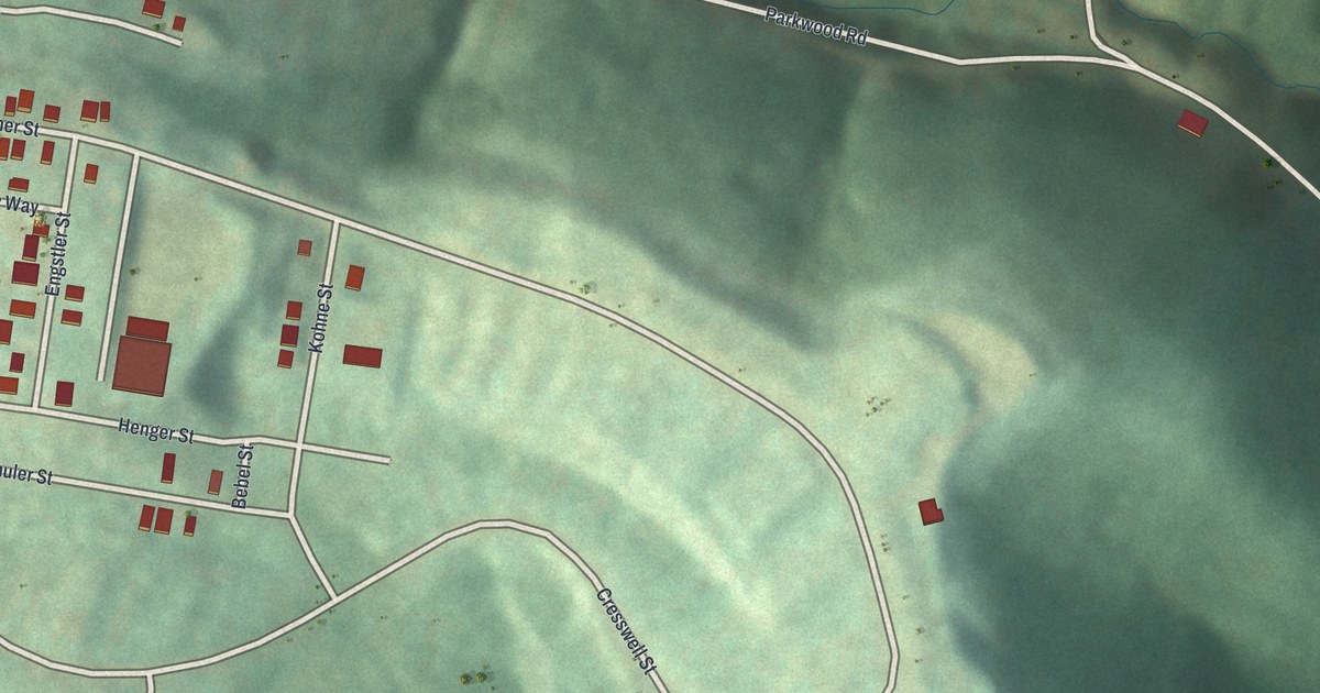
If you grew up on Fisher Street or Henger Street, or you've spent time at Hilltop Urban Farm, this map is for you. It's a modern aerial view of this Allegheny County neighborhood, built from elevation, street and building-outline data and given a vintage look. Green hills fill the sheet in soft shading. Small red buildings gather on the high ground, and a long road winds through the valley below them.
Hilltop Urban Farm and the Streets of St. Clair
On this map you'll find Hilltop Urban Farm, Becks Run Road, Parkwood Road, Mountain Avenue, Ormsby Avenue, Fisher Street, Henger Street, Schuler Street, Bonifay Street, Cresswell Street, Kohne Street, Engstler Street, Bebel Street, Pliney Way, and more. Each red shape is a building, so zoom in on the preview and look for yours.
The General Behind the St. Clair Name
The 1889 History of Allegheny County says St. Clair township, which once covered much of the South Side, was named in honor of Gen. Arthur St. Clair. The book calls St. Clair "a well-preserved name in this region." He was born at Thurso, Scotland, in 1734. He came to America in 1758 as a young British officer. In 1764 he settled in the Ligonier valley, where he built mills and a fine home. Downtown's St. Clair Street, now Sixth Street, was named for him too.
The book says Lower St. Clair township "originally extended from Chartiers creek to Street's run, including all that part of Pittsburgh on the South Side." By 1889 it was much smaller. It still had the extensive coal works at Beck's run, owned by the estate of James H. Hays. Becks Run Road is printed on this map, with a line of small red buildings along it.
Keep Becks Run Road and Henger Street Close
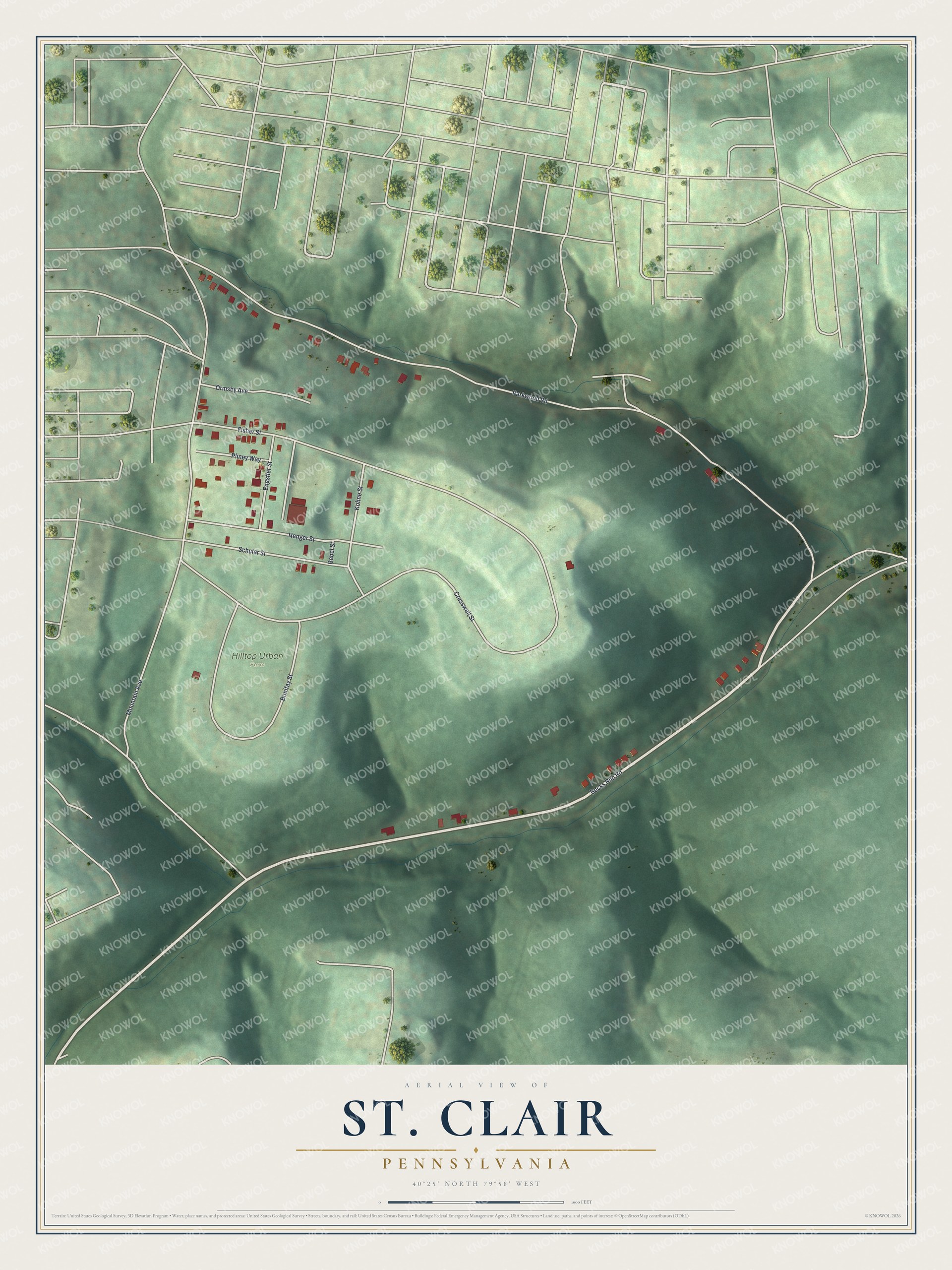
Created by KNOWOL in 2026, this print shows St. Clair's hills in soft green shaded relief, with buildings in red and street names in small type. The title panel reads "Aerial View of St. Clair, Pennsylvania" with the coordinates 40°25' North 79°58' West.
It suits a living room, a hallway or a home office. It's a good gift for someone who grew up near Hilltop Urban Farm, or for family who moved away from these hills. Open the preview and find your street. See sizes and frames for the St. Clair map.