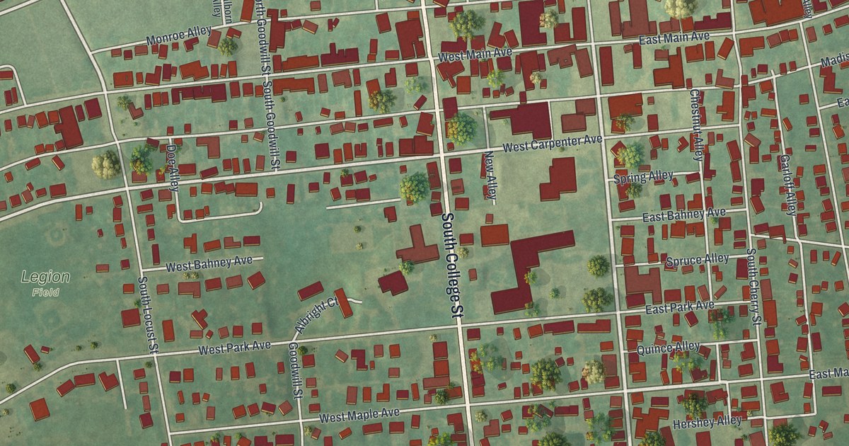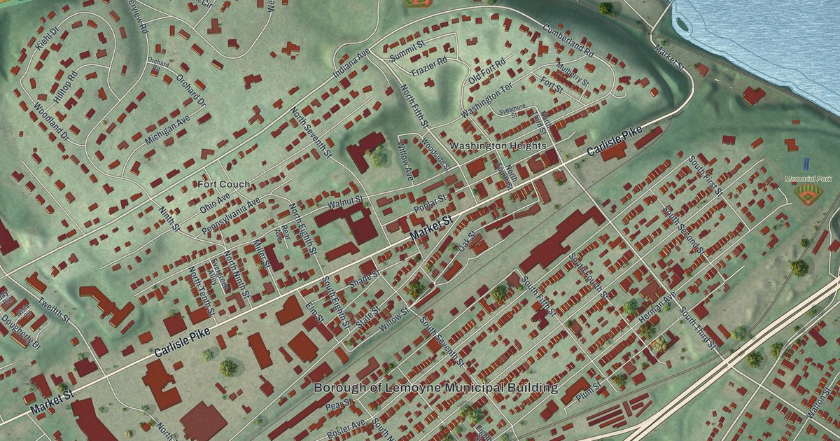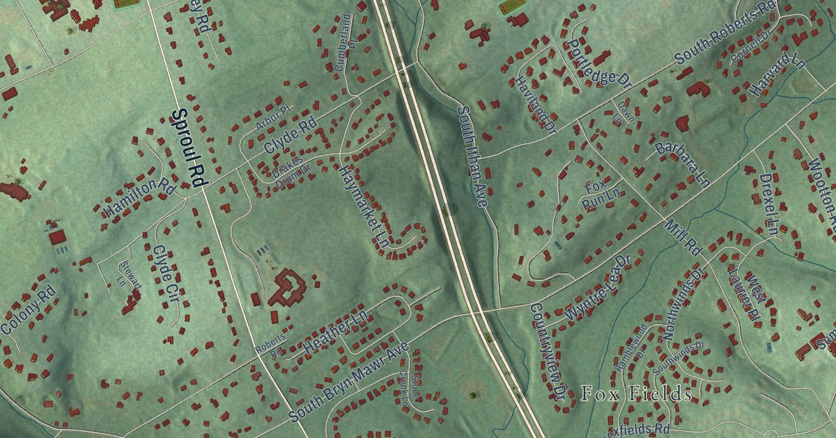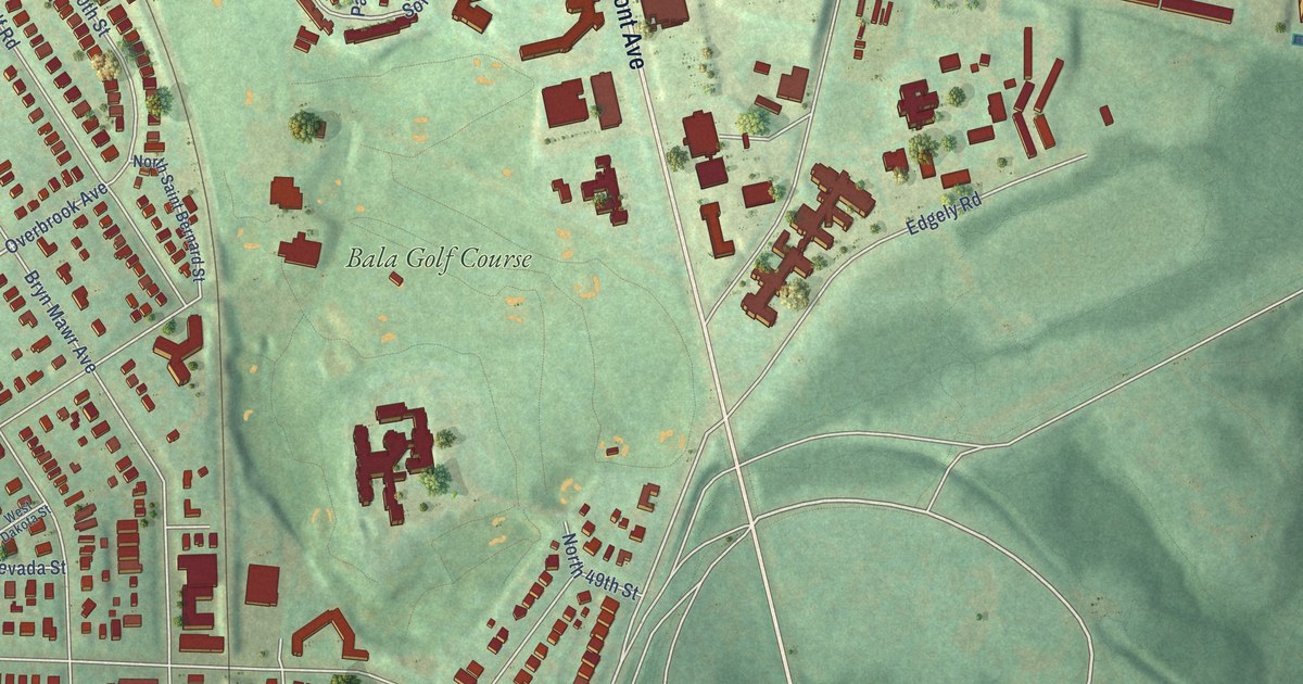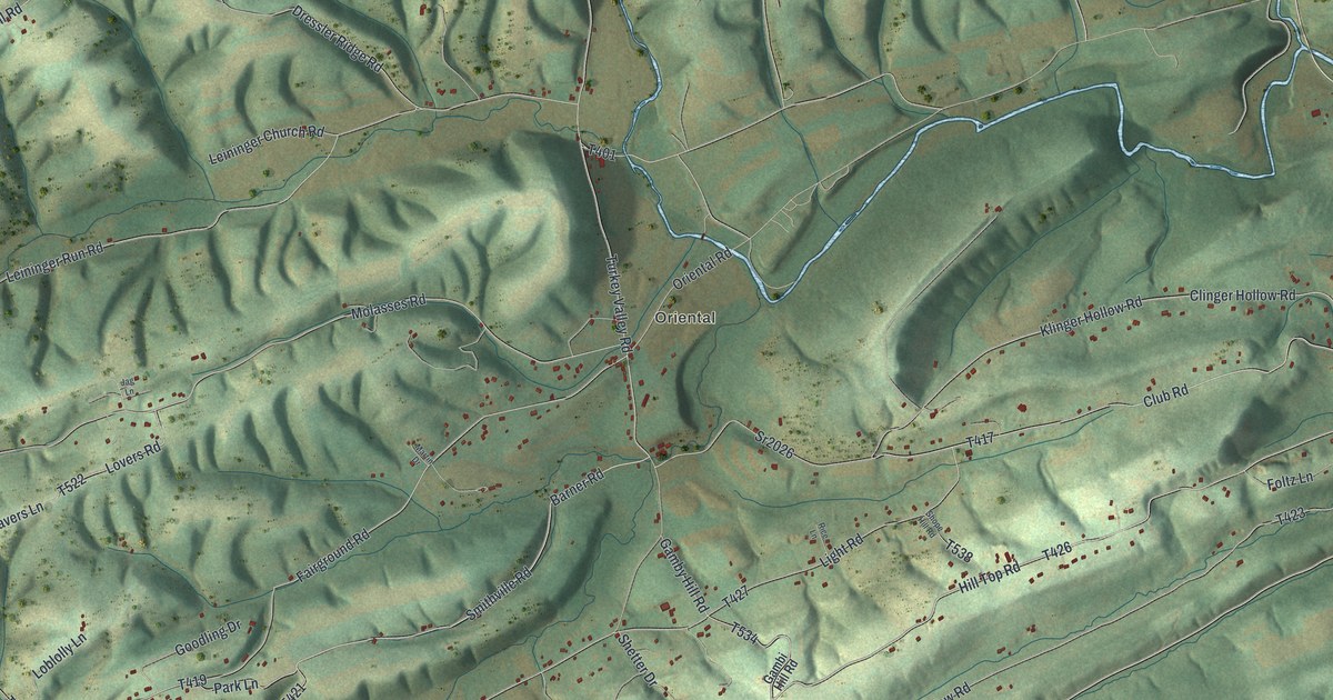
This beautifully detailed map of Susquehanna, Juniata County, Pennsylvania was created in 2026 using aerial imagery combined with modern topographical, census, street and landmark data. It’s a one-of-a-kind view of Susquehanna that combines accurate data with a vintage aesthetic. The map shows every building in its true location, many of the roads carry their names, and the shaded topographic relief shows the shape of the land.
Explore an aerial view of Susquehanna, Juniata County, Pennsylvania
On the map you’ll find Oriental and Mahantango, along with Spigs Hill Road, Turkey Valley Road, Hill Top Road, Dressler Ridge Road, Dresslers Ridge Road, Park Road, and more. If you look closely you can even find your house accurately drawn in its correct location. Zoom in on the preview to look for yours.
Did you know this piece of Susquehanna, Juniata County, Pennsylvania history?
From the Pennsylvania Historical and Museum Commission: "Well preserved remains of the lock, Mahantango Creek aqueduct, and other canal operations are opposite. They were a part of the Pennsylvania Canal built 1828-31 through this section."
Take a closer look at the Susquehanna, Juniata County map
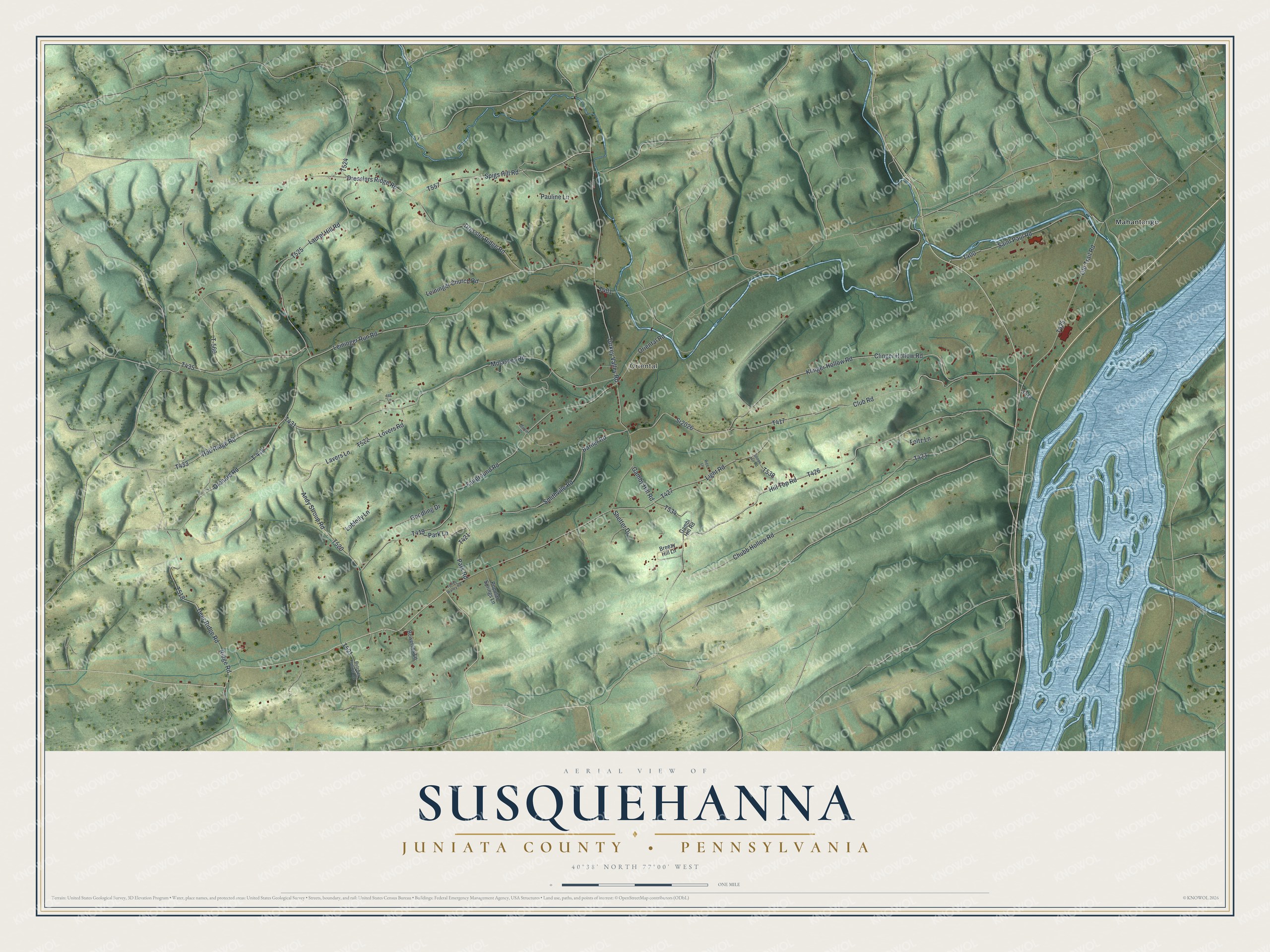
Street and place names on the Susquehanna, Juniata County, Pennsylvania map
These names are printed on the map of Susquehanna, Juniata County, Pennsylvania.
Places: Oriental and Mahantango.
Streets and roads: Spigs Hill Road, Turkey Valley Road, Hill Top Road, Dressler Ridge Road, Dresslers Ridge Road, Park Road, Laurel Hill Road, Oriental Road, Old Trail Road, Barner Road, Club Road, Gamby Hill Road.
More street names, A to Z
Andy Stroup Road, Bowersox Lane, Breezy Hill Lane, Butcher Hollow Road, Chubb Hollow Road, Clinger Hollow Road, Deer Ridge Road, Fairground Road, Foltz Lane, Gambi Hill Road, Goodling Drive, Hob Ridge Road, Jag Lane, Klinger Hollow Road, Lavers Lane, Leininger Church Road, Leininger Run Road, Light Road, Loblolly Lane, Lovers Road, Martin Drive, Molasses Road, Orchard Road, Park Lane, Pauline Lane, Popular Springs Lane, Rice Lane, Ridge Road, Saint Paul Road, Shetter Drive, Shope Hill Road, Smithville Road, Sr2026, T-415, T-560, Torrey Walley Road.
See the Susquehanna, Juniata County, Pennsylvania map on a wall
The Susquehanna, Juniata County map as an 18 x 24 inch print in a black frame.

This beautifully detailed map of Susquehanna, Juniata County makes an attractive addition to your office, library, or den, and it can even be used to teach children the geography and history of the area. It also makes a great gift for someone who left Susquehanna and still calls it home. When you’re done exploring, click here to get your copy of the Susquehanna, Juniata County map.