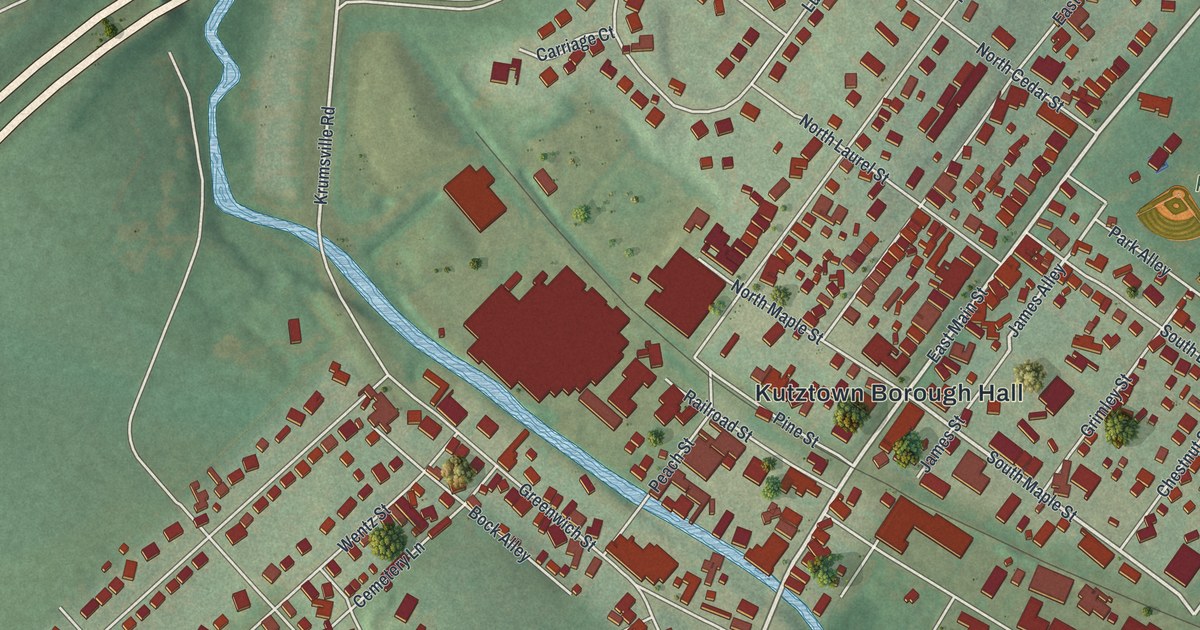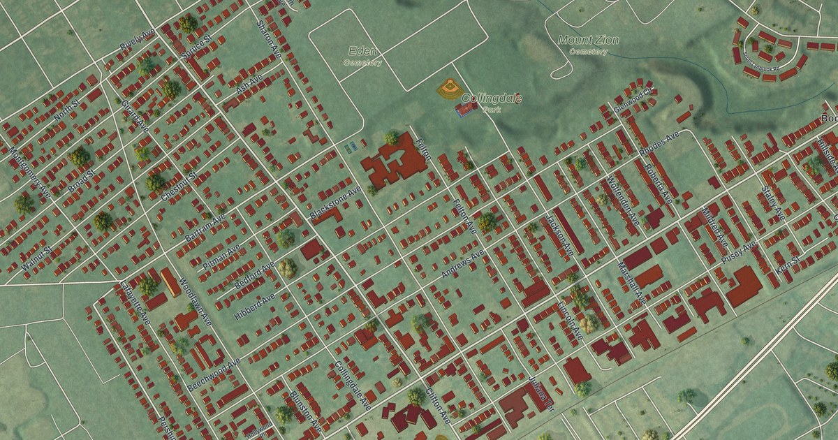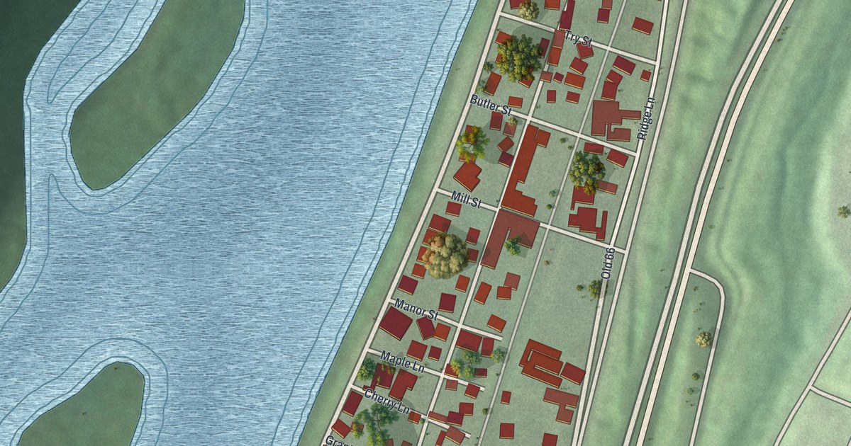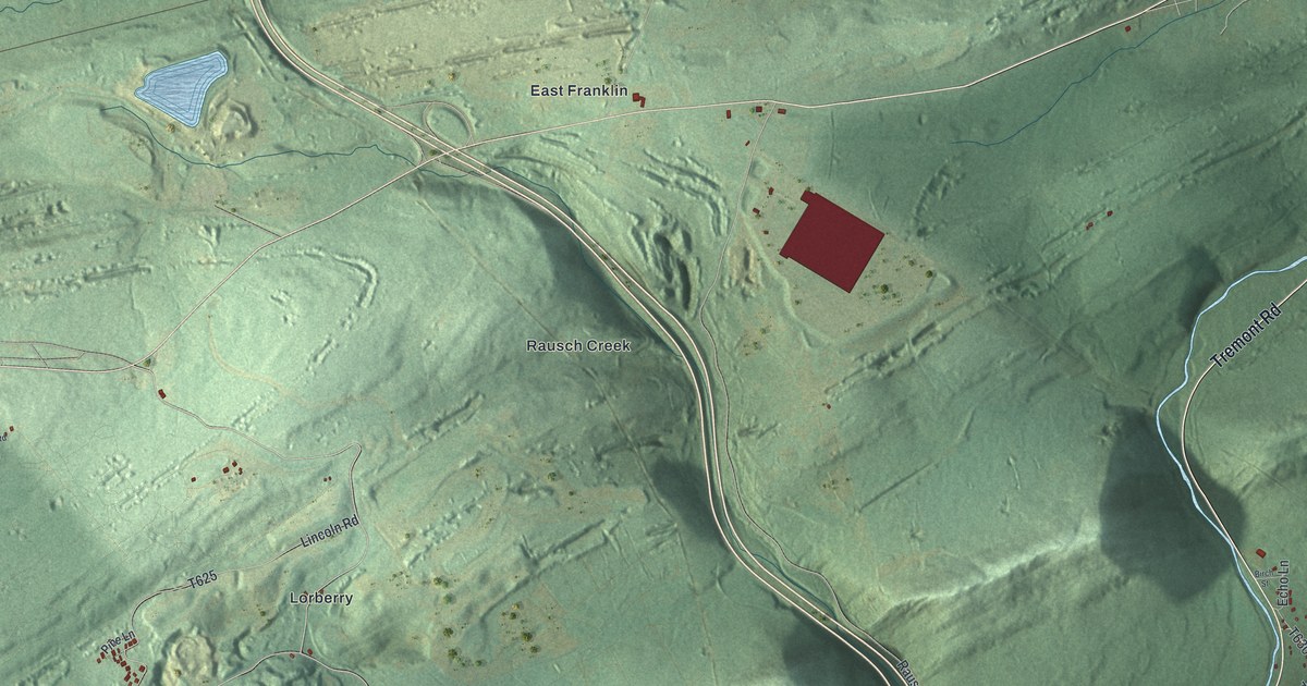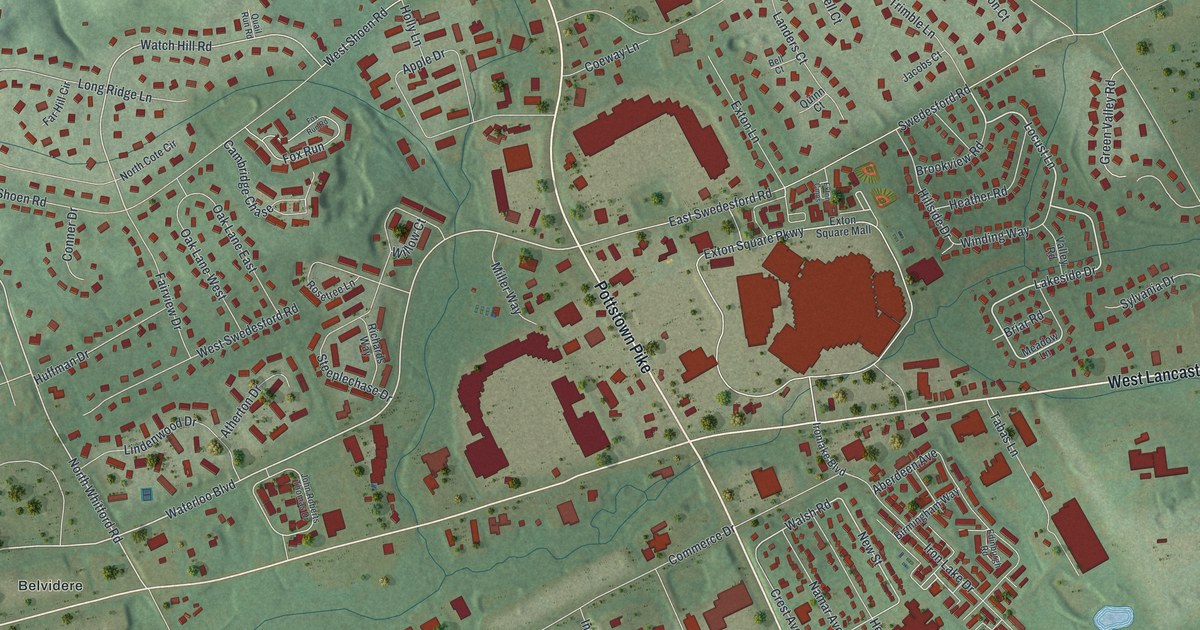
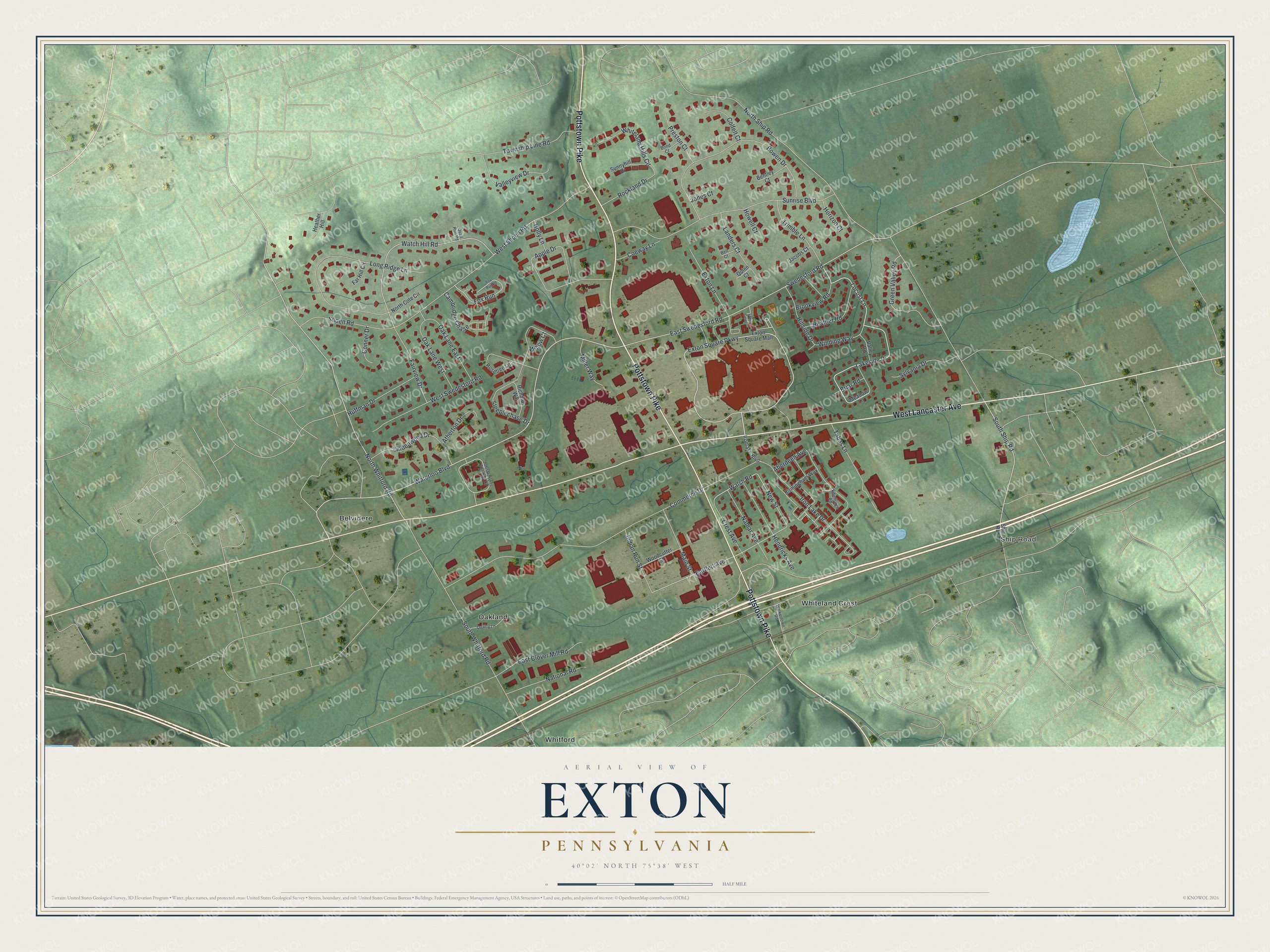
This beautifully detailed map of Exton, Pennsylvania was created in 2026 using aerial imagery combined with modern topographical, census, street and landmark data. It's a modern aerial view of Exton in Chester County, Pennsylvania, that combines modern data with a vintage aesthetic. The roads feature printed names, and if you look closely you can find your exact house accurately shown in its correct location.
Explore an aerial view of Exton, Pennsylvania
On this map you'll find Ship Road, Belvidere, Oakland, Whiteland Crest, Whitford, Pottstown Pike, West Lancaster Avenue, Locust Lane, Hillside Drive, Lakeside Drive, Waterloo Boulevard, South Ship Road, and more. Each red shape is a building, so zoom in on the preview and look for yours.
Exton is a community in Chester County. The Census Bureau counted 5,622 people here in 2020. The map prints the town name in its title panel, with the coordinates below it.
Take a closer look at the Exton map
Names on this map
These names are printed on this map.
Places: Ship Road, Belvidere, Oakland, Whiteland Crest and Whitford.
Streets and roads: Pottstown Pike, West Lancaster Avenue, Locust Lane, Hillside Drive, Lakeside Drive, Waterloo Boulevard, South Ship Road, Cambridge Chase, Exton Square Parkway, North Whitford Road, Walsh Road, Watch Hill Road.
More street names, A to Z
Aberdeen Avenue, Apple Drive, Atherton Drive, Bartlett Avenue, Bell Court, Bentley Court, Birmingham Way, Bond Court, Bowen Drive, Briar Road, Brookview Road, Coeway Lane, Colfelt Court, Commerce Drive, Conner Drive, Crest Avenue, East Clover Mill Road, East Swedesford Road, Edinburgh Road, Exton Cmns, Exton Lane, Exton Square Mall, Fairview Drive, Far Hill Circle, Fox Run, Fox Run Road, Green Valley Road, Heather Hill, Heather Road, Hendricks Avenue, Holly Lane, Horizon Court, Howell Court, Huffman Drive, Indian Run Street, Ironlake Boulevard, Iron Lake Drive, Jacobs Court, John Roberts Thomas Drive, Jones Court, Landers Court, Lindenwood Drive, Long Ridge Lane, Main Street, Meadow Lane, Miller Way, Namar Avenue, National Road, New Street, North Cote Circle, North Ship Road, Oak Lane East, Oak Lane West, Preston Court, Quail Run Road, Quarry Lane, Quinn Court, Richards Way, Rockland Drive, Rosetree Lane, Shoen Road, South Whitford Road, Steeplechase Drive, Sunnyhill Drive, Sunrise Boulevard, Swedesford Road, Sylvania Drive, Tabas Lane, Township Line Road, Trimble Lane, Valley Road, Valleyview Drive, Walkertown Road, West Shoen Road, West Swedesford Road, Whiteland Hills Circle, Willow Court, Winding Way, Woodcutter Street.
Created by KNOWOL in 2026. The buildings are small red shapes, the roads carry their printed names, and shaded relief shows the shape of the land. The title panel reads "AERIAL VIEW OF EXTON PENNSYLVANIA" with 4, 0, °, 0, 2, ', , N, O, R, T, H, , 7, 5, °, 3, 8, ', , W, E, S, T.
It suits a den, a classroom or a front hall, and it makes a gift for anyone with Exton roots. Open the preview and find the block you know. See sizes and frames for the Exton map.