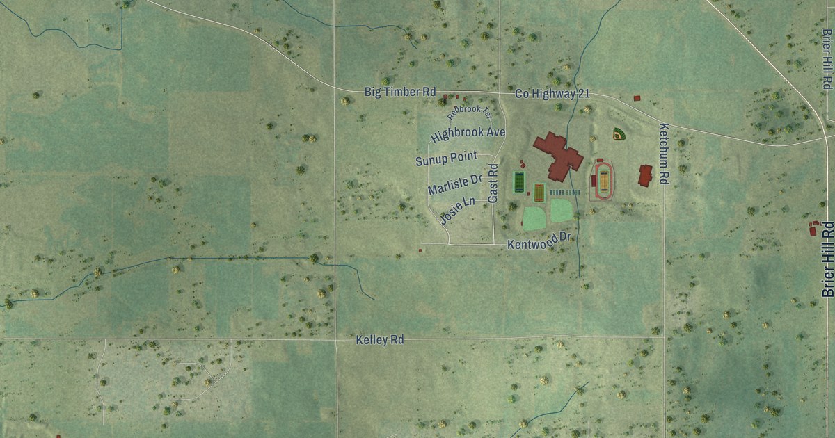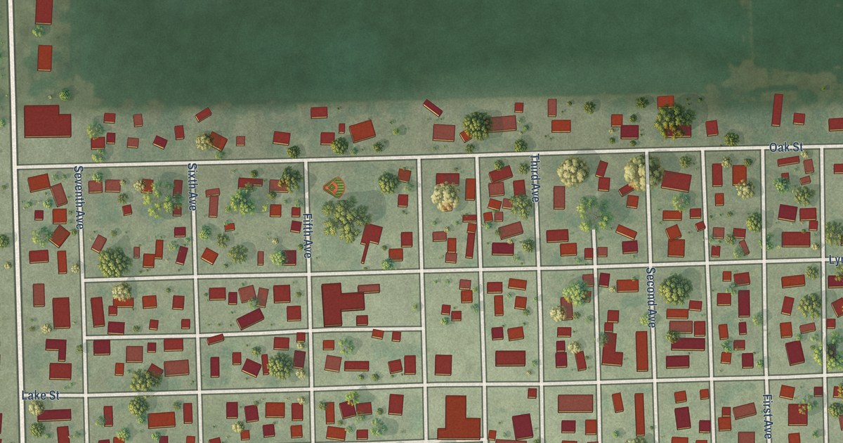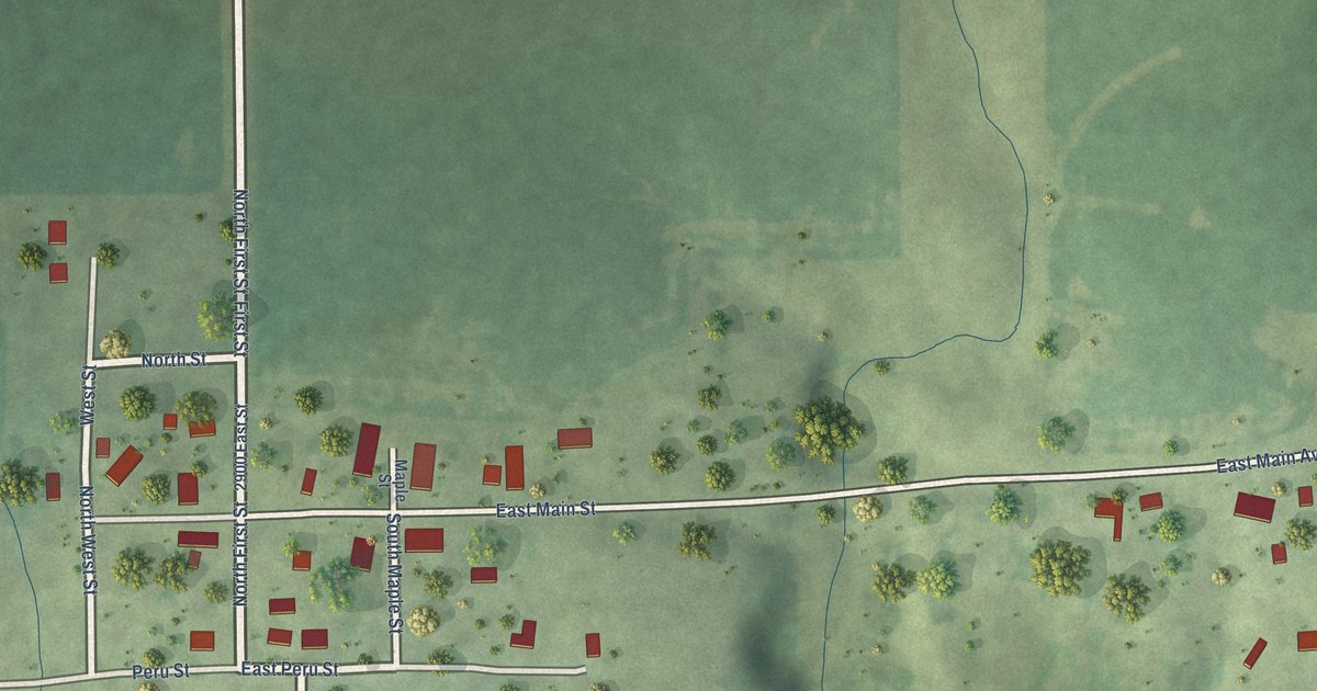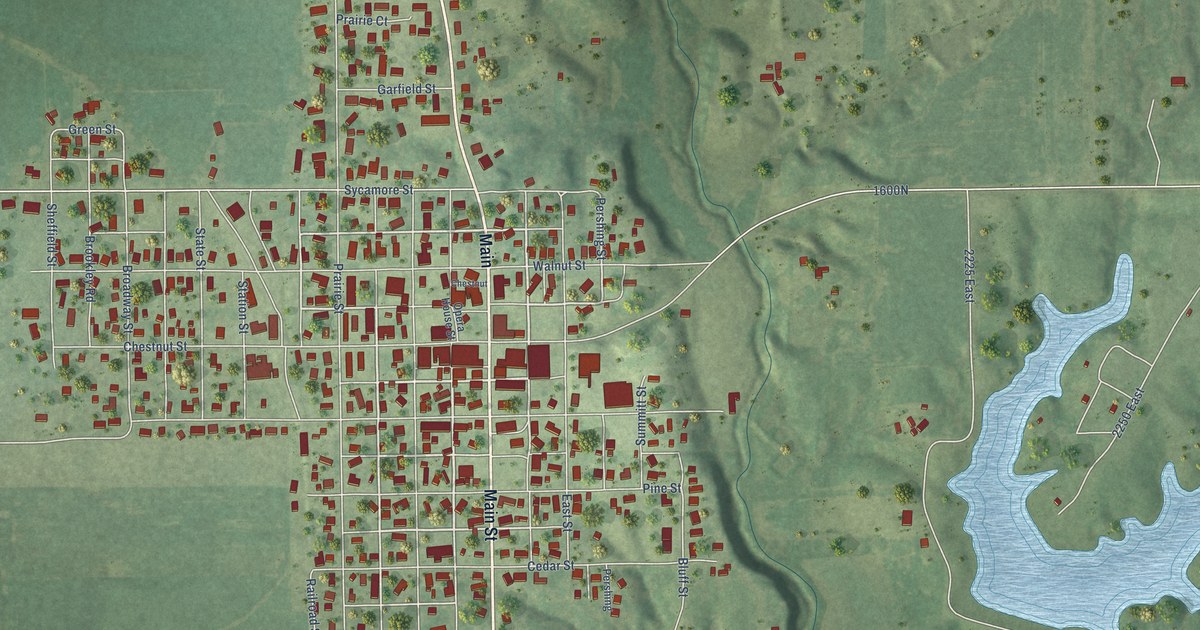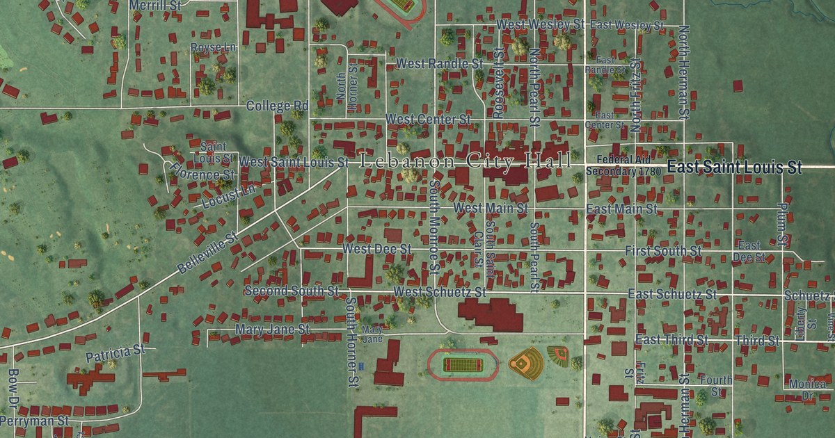
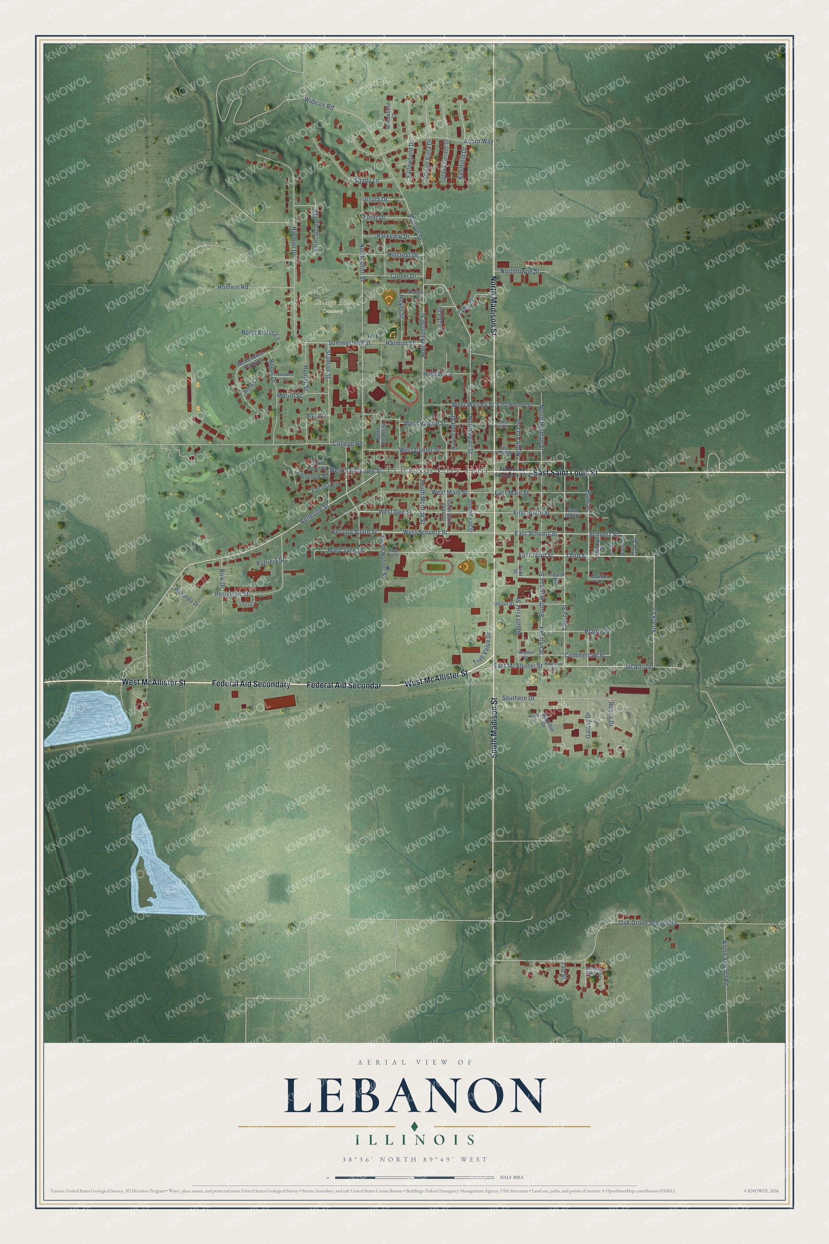
This beautifully detailed map of Lebanon, Illinois was created in 2026 using aerial imagery combined with modern topographical, census, street and landmark data. It's a modern aerial view of Lebanon in St. Clair County, Illinois, that combines modern data with a vintage aesthetic. The roads feature printed names, and if you look closely you can find your exact house accurately shown in its correct location.
Explore an aerial view of Lebanon, Illinois
On this map you'll find Lebanon City Hall, College Hill Cemetery, East Saint Louis Street, Federal Aid Secondar, Federal Aid Secondary, West McAllister Street, South Madison Street, North Madison Street, East Third Street, Third Street, Strack Lane, Oak Street, and more. Each red shape is a building, so zoom in on the preview and look for yours.
Lebanon is a city in St. Clair County. The Census Bureau counted 4,691 people here in 2020. The map prints the town name in its title panel, with the coordinates below it.
Take a closer look at the Lebanon map
Names on this map
These names are printed on this map.
Places: Lebanon City Hall and College Hill Cemetery.
Streets and roads: East Saint Louis Street, Federal Aid Secondar, Federal Aid Secondary, West McAllister Street, South Madison Street, North Madison Street, East Third Street, Third Street, Strack Lane, Oak Street, McAllister, Second South Street.
More street names, A to Z
Acorn Way, Anna Court, Belleville Street, Bending Oaks Drive, Bloomfield Court, Bow Drive, Cherry Street, Clover Drive, College Road, Commercial Street, East Center Street, East Dee Street, East Main Street, East McAllister Street, East Randle Street, East Schuetz Street, East Wesley Street, Fallowfield Drive, Federal Aid Secondary 1780, First South Street, Florence Street, Fourth Street, Fritz Street, Galaxy Drive, Harmon Drive, Harmon Street, Herman Street, Hillcrest Drive, Hobson Lane, Hohrein Road, Hunter Street, Janet Drive, Kentfield Drive, Korte Sewald Road, Lantern Lane, Leann Drive, Liberty Street, Locust Lane, Lynn Street, Mary Jane, Mary Jane Street, McAllister Street, McKendree Park Road, Merrill Street, Meyer Street, Monica Drive, Monroe Street, North Alton Street, North Eades Lane, North Fritz Street, North Herman Street, North Horner Street, North Monroe Street, North Pearl Street, Northtowne Street, Oak Grove School Road, Parkview Drive, Patricia Street, Perryman Street, Plum Street, Prairie Street, Reese Drive, Rhoden Street, Robyn Lane, Roger Drive, Roosevelt Street, Royse Lane, Saint Joseph Drive, Saint Louis Street, Schuetz Street, Scott Street, Shady Lane, Southern Drive, South Fritz Street, South Herman Street, South Horner Street, South Monroe Street, South Pearl Street, South Saint Clair Street, Stanton Street, Starlifter Drive, Summerfield Street, Sylvan Vista Drive, Tad Street, Tantau Court, True Value Drive, Union Street, Upland Terrace Drive, Ursula Drive, Vine Street, Wakanda Drive, Walnut Street, West Center Street, West Dee Street, West Main Street, West Randle Street, West Saint Louis Street, West Schuetz Street, West Wesley Street, Widicus Road.
Created by KNOWOL in 2026. The buildings are small red shapes, the roads carry their printed names, and shaded relief shows the shape of the land. The title panel reads "AERIAL VIEW OF LEBANON ILLINOIS" with 38°36' NORTH 89°49' WEST.
Hang it in the hallway, the office or the cabin, or give it to someone who left Lebanon and still calls it home. Open the preview and look for a street you know. See sizes and frames for the Lebanon map.