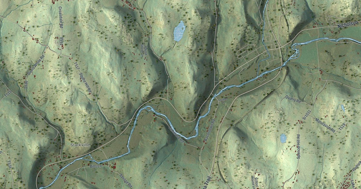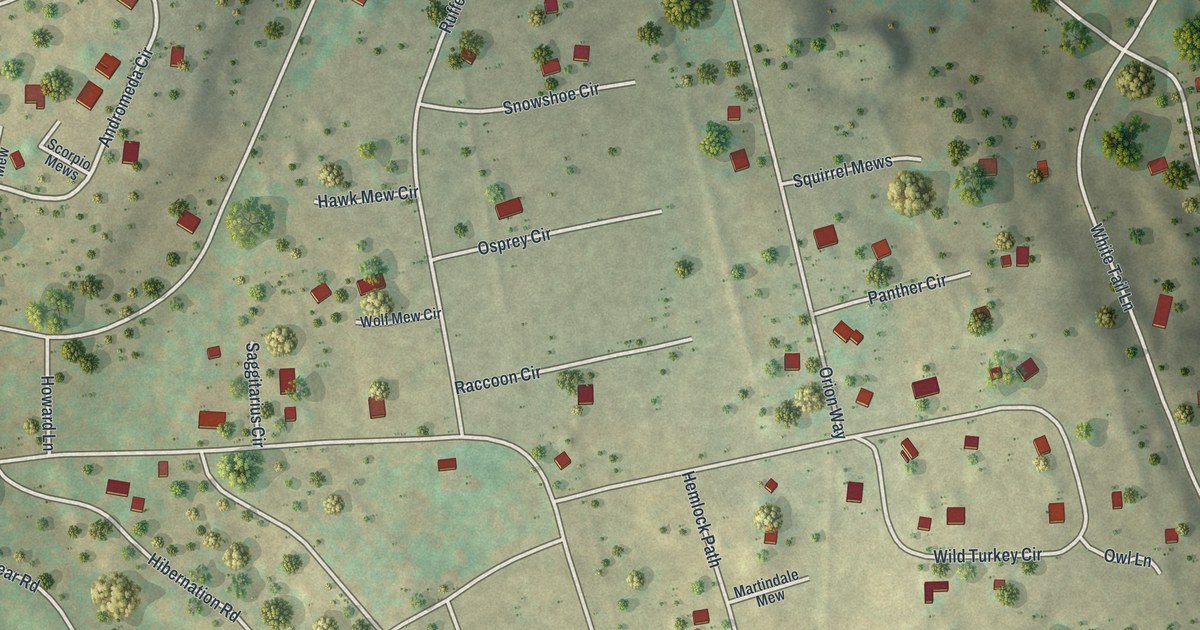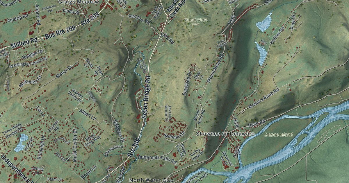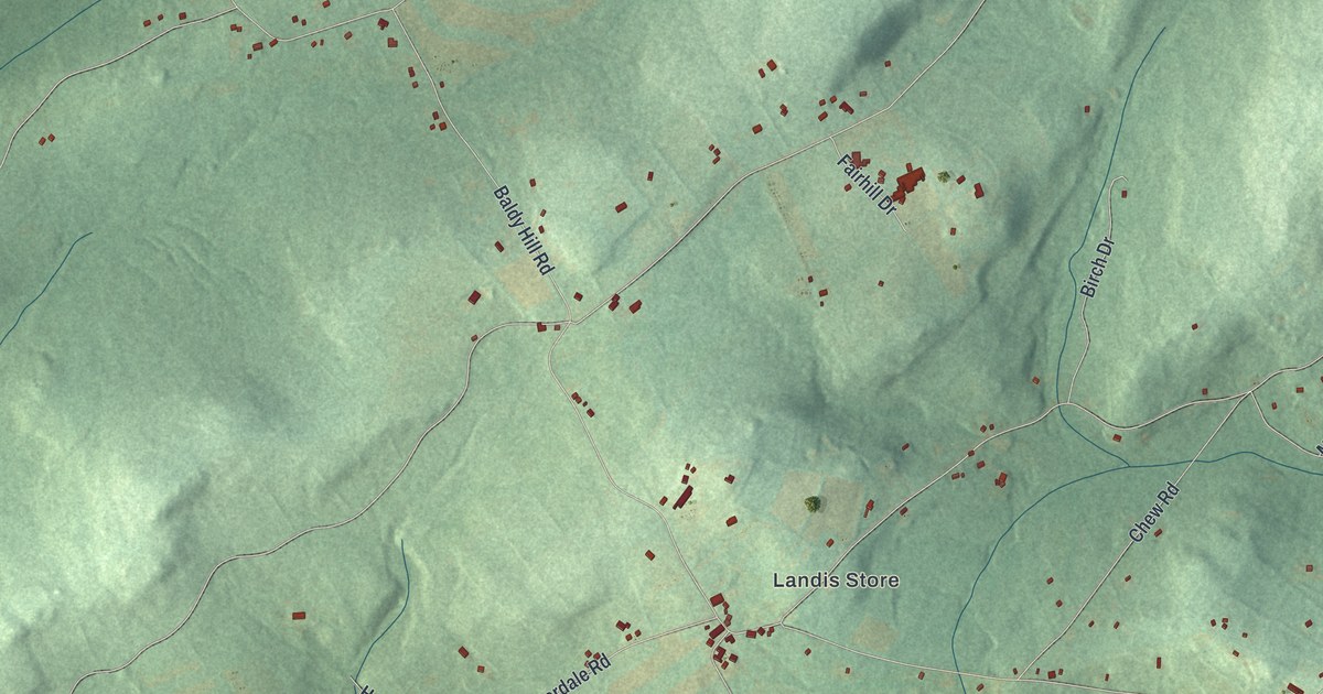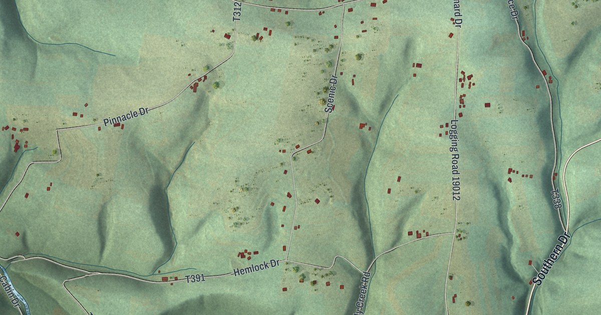
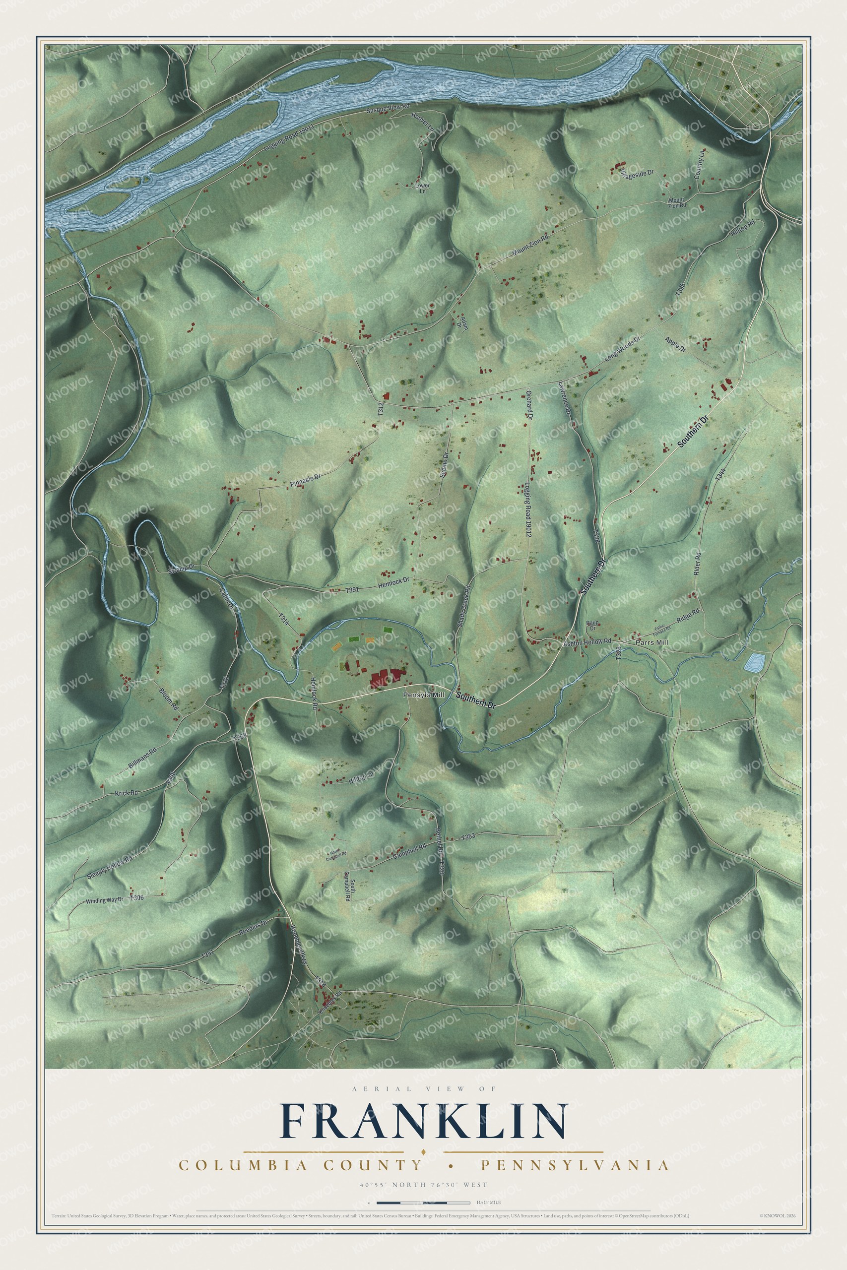
This beautifully detailed map of Franklin, Columbia County, Pennsylvania was created in 2026 using aerial imagery combined with modern topographical, census, street and landmark data. It’s a one-of-a-kind view of Franklin that combines accurate data with a vintage aesthetic. The map shows every building in its true location, many of the roads carry their names, and the shaded topographic relief shows the shape of the land.
Explore an aerial view of Franklin, Columbia County, Pennsylvania
On the map you’ll find Parrs Mill, Pensyls Mill, Logging Road 19011, and Logging Road 19012, along with Southern Drive, Rider Road, Hemlock Drive, Orchard Drive, Krick Road, and more. If you look closely you can even find your house accurately drawn in its correct location. Zoom in on the preview to look for yours.
Did you know this piece of Franklin, Columbia County, Pennsylvania history?
Franklin Township is home to three old covered bridges. In 1979 they joined the National Register of Historic Places together. They are the Parr’s Mill, Riegel and Rohrbach spans, numbered 10, 6 and 24.
Take a closer look at the Franklin, Columbia County map
Street and place names on the Franklin, Columbia County, Pennsylvania map
These names are printed on the map of Franklin, Columbia County, Pennsylvania.
Places: Parrs Mill and Pensyls Mill.
Streets and roads: Southern Drive, Logging Road 19011, Rider Road, Hemlock Drive, Logging Road 19012, Orchard Drive, Krick Road, Ridge Road, Mount Zion Road, Long Woods Drive, Pinnacle Drive, Susque View Road.
More street names, A to Z
Adam Drive, Apple Drive, Ashton Hollow Road, Bethel Road, Billmans Road, Bloom Road, Cabin Drive, Campbell Road, Country Lane, Esther Furnace Road, Hemlock Road, Hilltop Lane, Hilltop Road, Hoover Lane, Knoebles Parkway, Knoebles Road, Lawrence Drive, Lower Lane, North Campbell Road, Raup Drive, Reeders Drive, Scenic Drive, Shady Creek Road, Sleeply Hollow Road, South Campbell Road, Swamp Drive, Villageside Drive, Winding Way Drive.
See the Franklin, Columbia County, Pennsylvania map on a wall
The Franklin, Columbia County map as an 18 x 24 inch print in a black frame.

This beautifully detailed map of Franklin, Columbia County makes an attractive addition to your office, library, or den, and it can even be used to teach children the geography and history of the area. It also makes a great gift for anyone who grew up in Franklin or moved away. When you’re done exploring, click here to get your copy of the Franklin, Columbia County map.