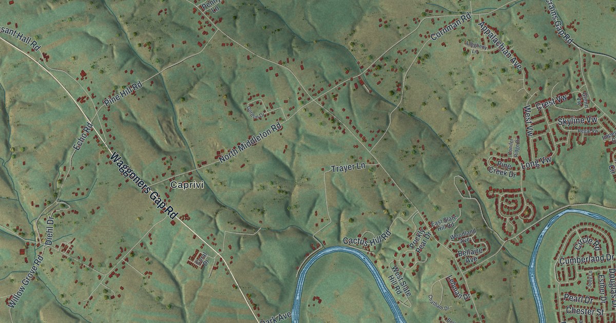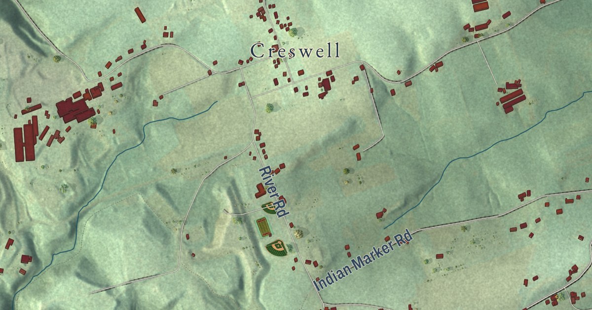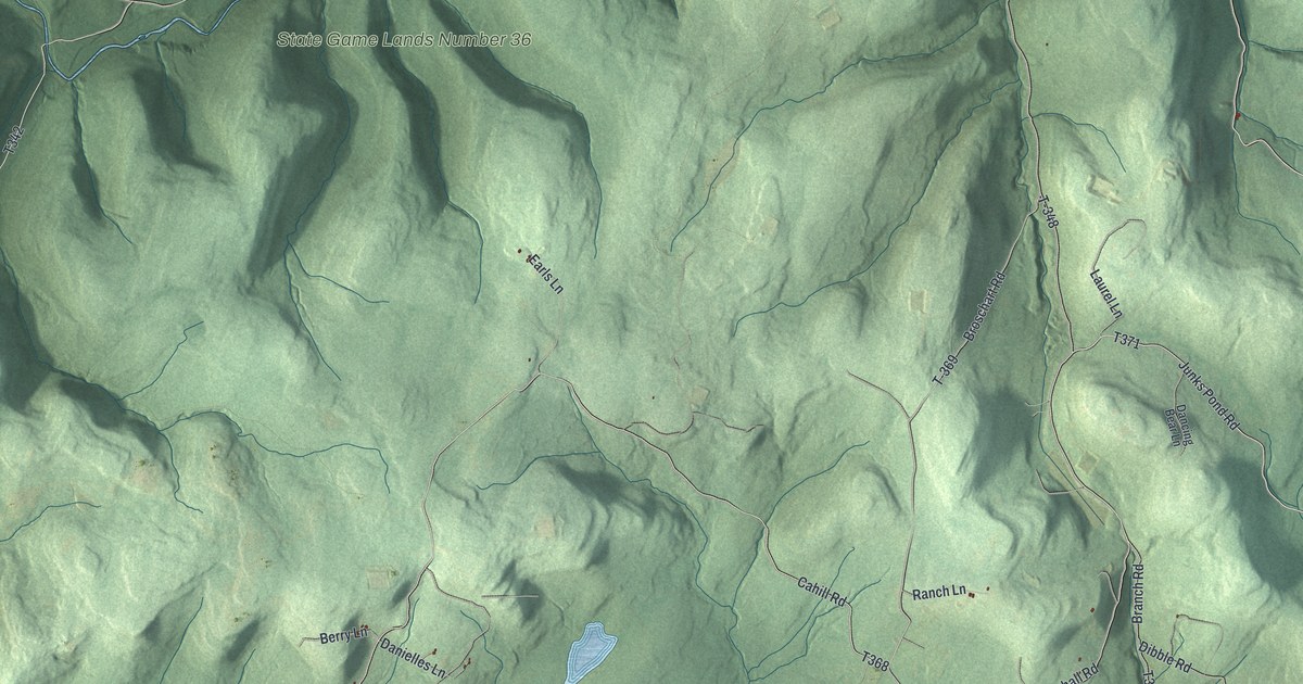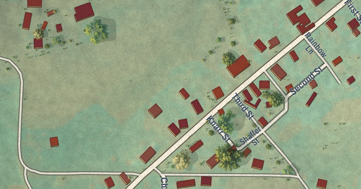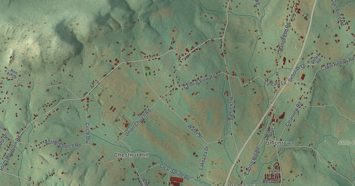
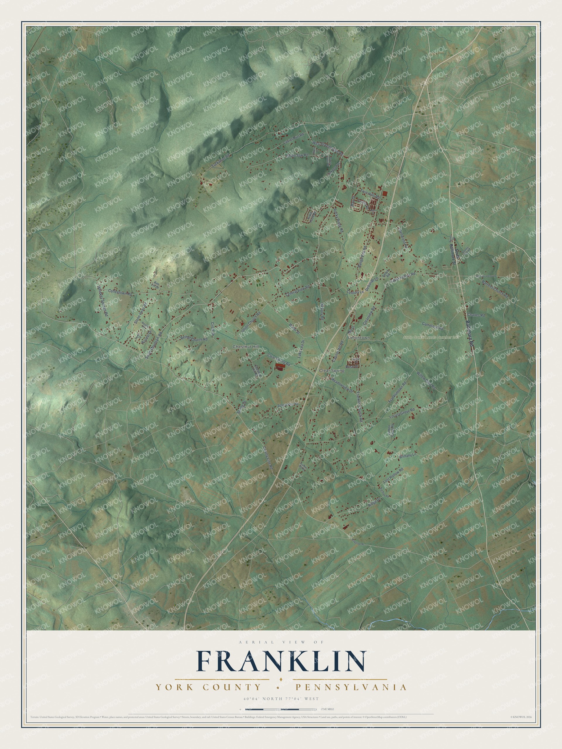
This beautifully detailed map of Franklin, York County, Pennsylvania was created in 2026 using aerial imagery combined with modern topographical, census, street and landmark data. It’s a one-of-a-kind view of Franklin that combines accurate data with a vintage aesthetic. The map shows every building in its true location, many of the roads carry their names, and the shaded topographic relief shows the shape of the land.
Explore an aerial view of Franklin, York County, Pennsylvania
On the map you’ll find State Game Lands Number 243, Chestnut Hill, Clear Spring, and Uniontown, along with Baltimore Road, South Mountain Road, West Greenhouse Road, Cabin Hollow Road, Century Lane, County Line Road, Range End Road, Franklin Church Road, and more. If you look closely you can even find your house accurately drawn in its correct location. Zoom in on the preview to look for yours.
Did you know this piece of Franklin, York County, Pennsylvania history?
From the 1886 History of York County, Pennsylvania: "There are eighty two townships in the United States, and thirty-one counties, which bear the honored name of Franklin."
Take a closer look at the Franklin, York County map
Street and place names on the Franklin, York County, Pennsylvania map
These names are printed on the map of Franklin, York County, Pennsylvania.
Places: State Game Lands Number 243, Chestnut Hill, Clear Spring and Uniontown.
Streets and roads: Baltimore Road, South Mountain Road, West Greenhouse Road, Cabin Hollow Road, Century Lane, County Line Road, Range End Road, Franklin Church Road, Coffeetown Road, Franklintown Road, Capitol Hill Road, Clear Spring Road.
More street names, A to Z
Acomo Drive, Albert Lane, Barrens Church Road, Bethel Church Road, Big Dam Road, Braggtown Road, Brickers Sawmill Road, Brittany Lane, Bypass Road, Central View Road, Chain Saw Road, Charles Road, Chestnut Hill Road, Circle Drive, Clearview Road, Deborah Lane, Debra Road, Franklin Hills Road, Furman Road, Gameland Road, Glenwood Road, Hickory Road, Hidden Creek Road, Ken Lin Drive, Lake Lea Drive, Laurel Run Road, Locust Grove Road, Lost Hollow Road, May Drive, Meadowview Drive, Mill Drive, Miller Street, Oakwood Drive, Old Cabin Hollow Road, Pomo Court, Ridge Drive, Robin Hood Road, Rocky Ridge Road, Rose Drive, Scotch Pine Road, South Baltimore Street, Spring Drive, Stone Head Road, Stoney Run Road, Tuckahoe Road, Twin Hills Road, Union Church Road, Walmar Drive, Water Street, Western Road, Whiskey Springs Road, Willow Glen Road.
See the Franklin, York County, Pennsylvania map on a wall
The Franklin, York County map as an 18 x 24 inch print in a black frame.

This beautifully detailed map of Franklin, York County makes an attractive addition to your office, library, or den, and it can even be used to teach children the geography and history of the area. It also makes a great gift for someone who left Franklin and still calls it home. When you’re done exploring, click here to get your copy of the Franklin, York County map.