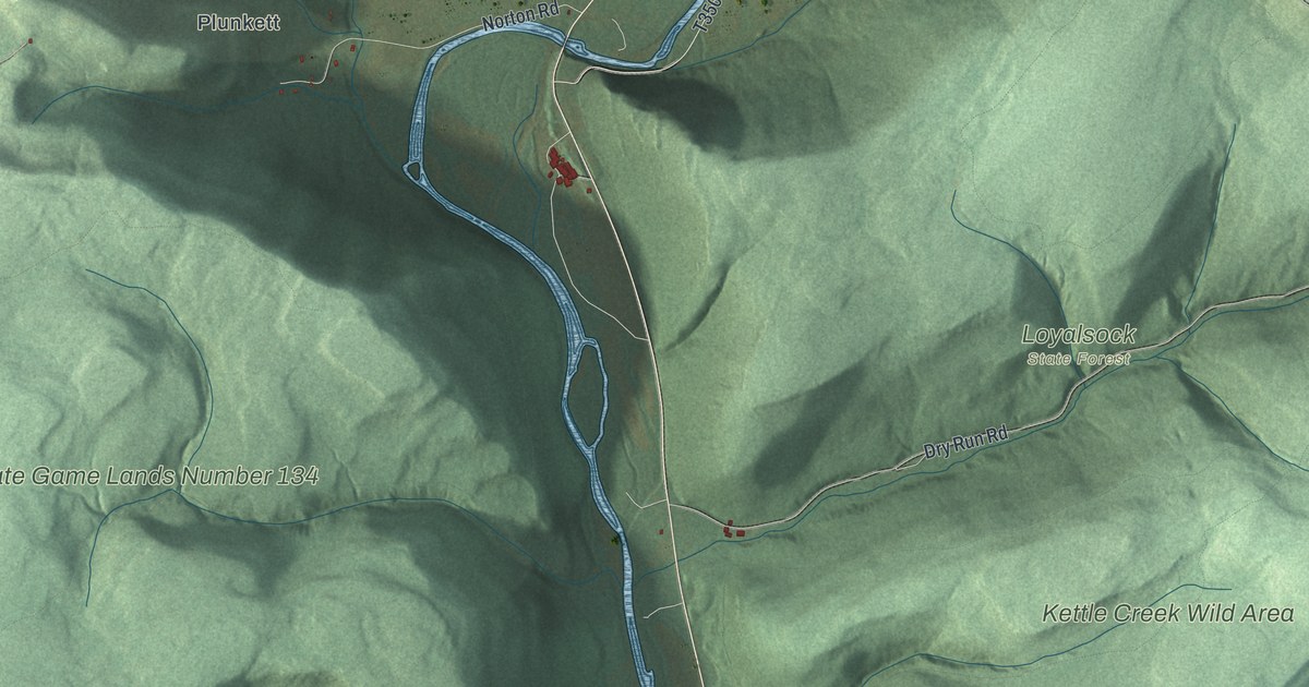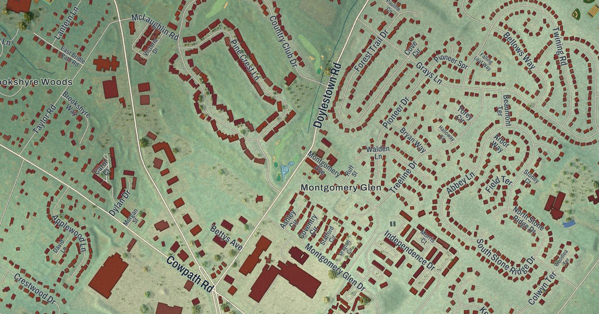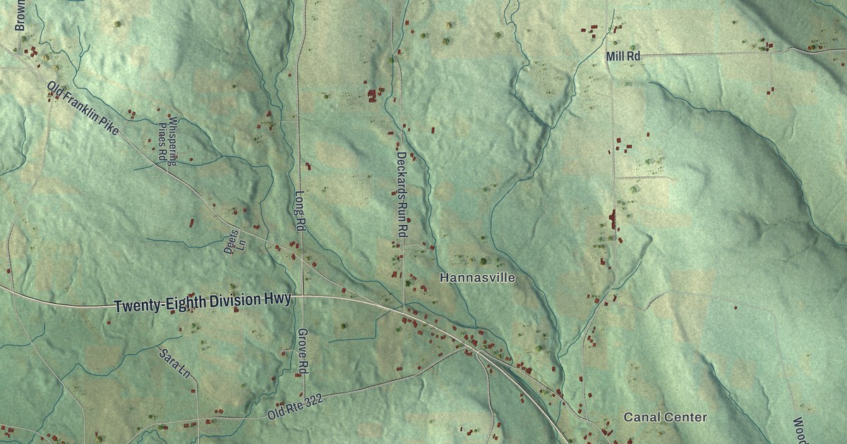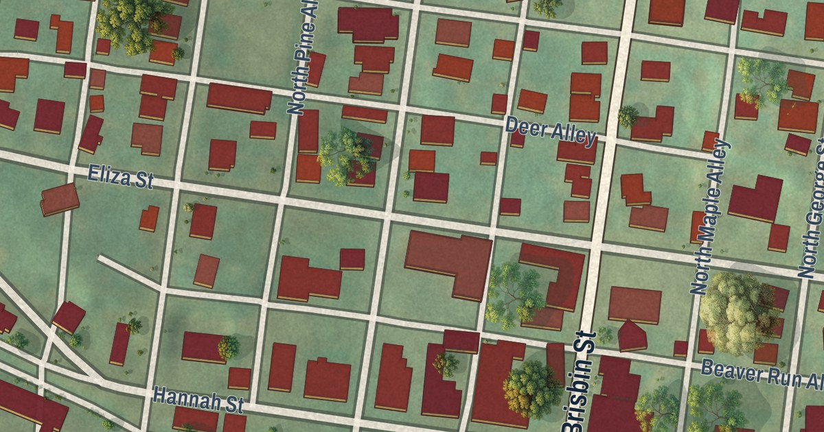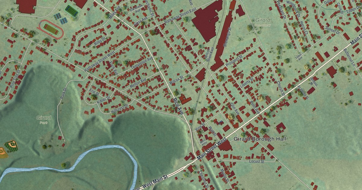
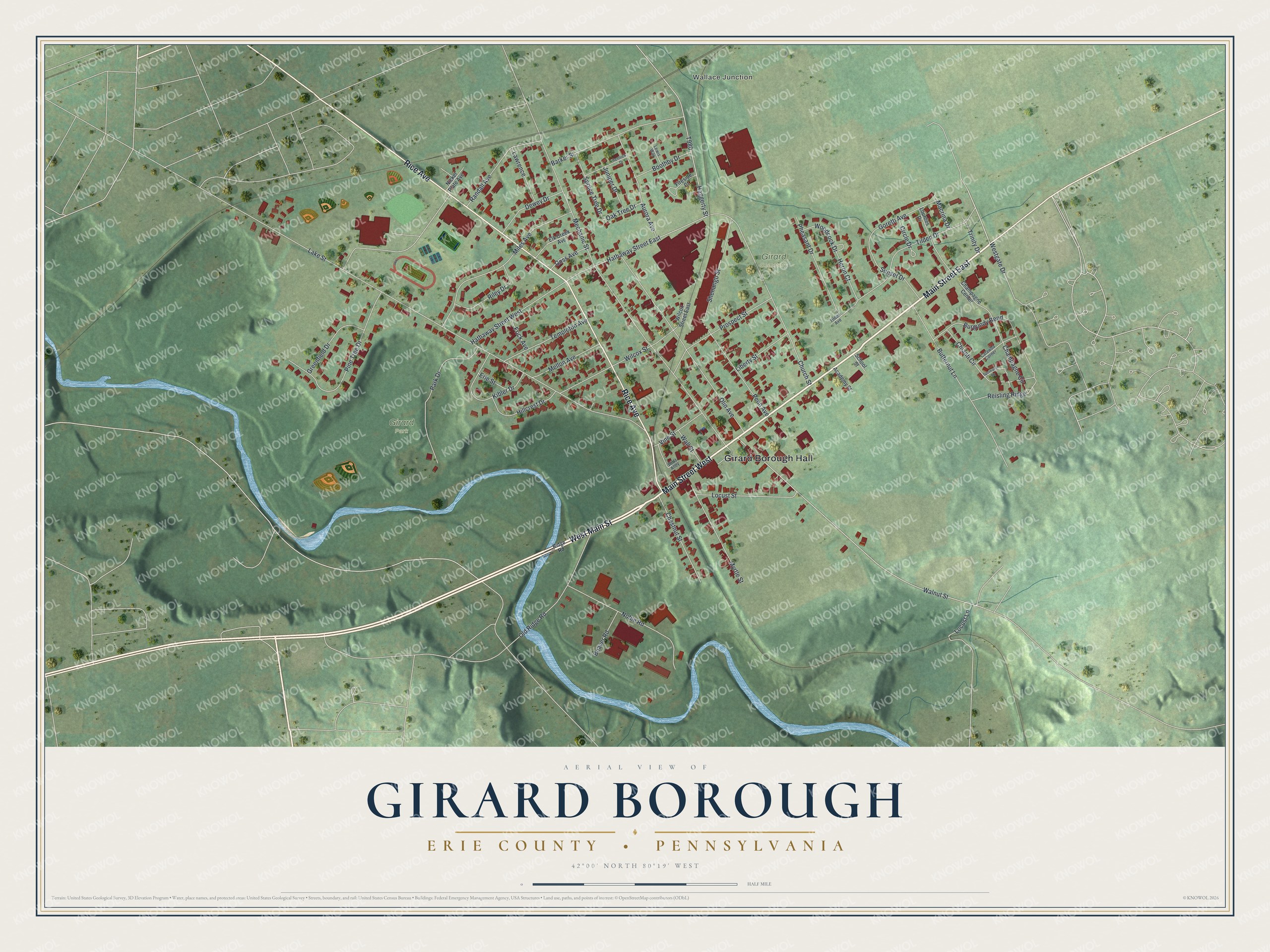
This beautifully detailed map of Girard Borough, Erie County, Pennsylvania was created in 2026 using aerial imagery combined with modern topographical, census, street and landmark data. It’s a one-of-a-kind view of Girard Borough that combines accurate data with a vintage aesthetic. The map shows every building in its true location, many of the roads carry their names, and the shaded topographic relief shows the shape of the land.
Explore an aerial view of Girard Borough, Erie County, Pennsylvania
On the map you’ll find Girard Borough Hall, Wallace Junction, Girard Park, and Girard Cemetery, along with Main Street East, West Main Street, Main Street West, Rice Avenue, Walnut Street, Hathaway Street East, Lake Street, Mechanic Street, and more. If you look closely you can even find your house accurately drawn in its correct location. Zoom in on the preview to look for yours.
Did you know this piece of Girard Borough, Erie County, Pennsylvania history?
From the 1884 History of Erie County, Pennsylvania: "Girard has been rather unfortunate in the matter of hotel buildings, the old Girard House, which occupied the site of the present Avenue House, and the Central House of Joshua Evans, which stood on the east side of the public square, having both been burned."
Take a closer look at the Girard Borough, Erie County map
Street and place names on the Girard Borough, Erie County, Pennsylvania map
These names are printed on the map of Girard Borough, Erie County, Pennsylvania.
Places: Girard Borough Hall, Wallace Junction, Girard Park and Girard Cemetery.
Streets and roads: Main Street East, West Main Street, Main Street West, Rice Avenue, Walnut Street, Hathaway Street East, Lake Street, Mechanic Street, Olin Avenue, Church Street, Miles Avenue, Tilden Drive.
More street names, A to Z
Academy Street, Aurora Avenue, Barker Street, Beaver Road, Boothby Drive, Burgundy Bend, Butternut Lane, Catawba Corner, Champagne Center, Champagne Circle, Chestnut Street, Chianti Circle, Circle Drive, Dewey Drive, Elk Creek Avenue, Erie Street, Fireside Court, Frick Avenue, Goretti Avenue, Goss Avenue, Greenfield Drive, Haggerty Street, Hathaway Street West, Hemlock Drive, Heron Court, Hillcrest Drive, Juniper Drive, Kibler Drive, Lawrence, Lewis Way, Liberty Street, Locust Lane, Locust Street, Lourdes Drive, Macrina Drive, Mellon Avenue, Myrtle Street, Nickel Plate Avenue, Noble Road, Oak Tree Drive, Old Ridge Road, Park Drive, Penn Avenue, Pheasant Drive, Pine Tree Drive, Prospect Street, Randall Avenue, Reisling Ridge, Ridge Road, Riley Drive, School Street, Shenango Street, Spruce Tree Drive, Spumante Square, Sunset Drive, Templeton Avenue, Tilden Avenue, Trinity Drive, Vine Street, Wall Street, Westgate Drive, Wilcox Street, Wilcox Street East, Wirtz Alley, Woodcock Drive.
See the Girard Borough, Erie County, Pennsylvania map on a wall
The Girard Borough, Erie County map as an 18 x 24 inch print in a black frame.

This beautifully detailed map of Borough of Girard, Erie County makes an attractive addition to your office, library, or den, and it can even be used to teach children the geography and history of the area. It also makes a great gift for anyone with Girard Borough roots. When you’re done exploring, click here to get your copy of the Borough of Girard, Erie County map.