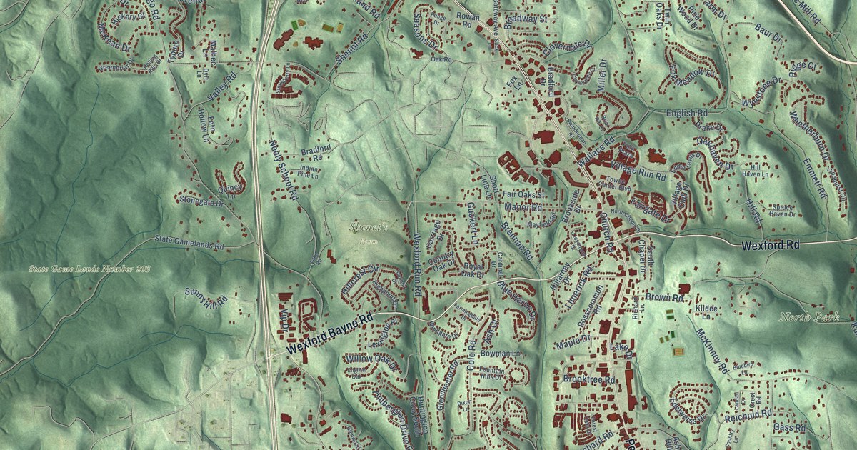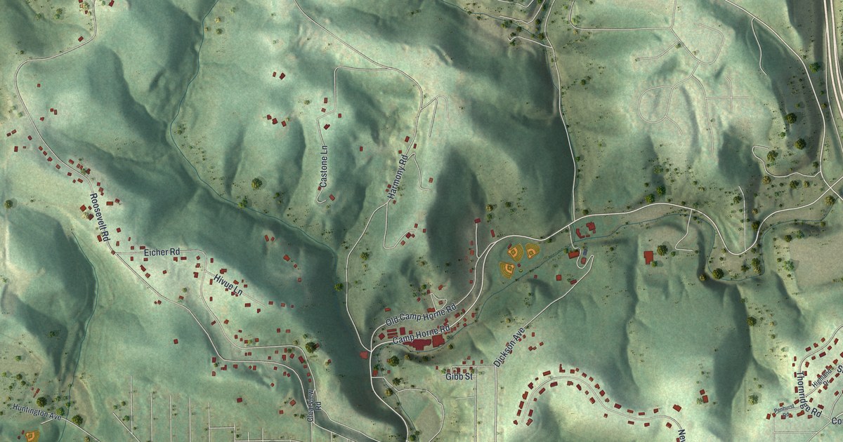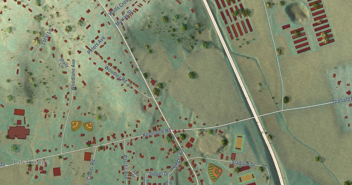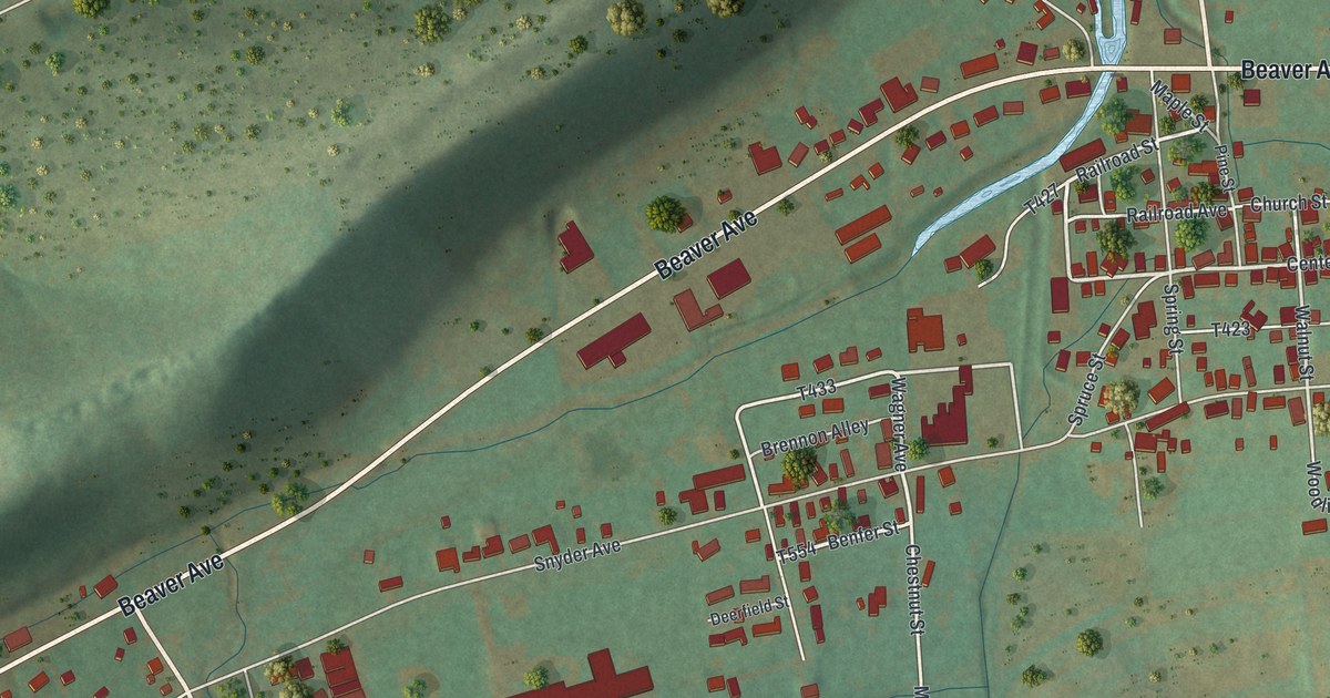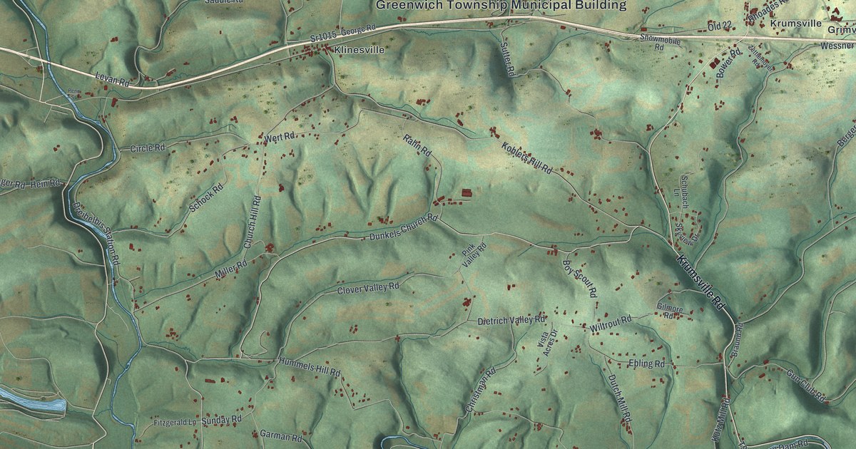
This beautifully detailed map of Greenwich, Pennsylvania was created in 2026 using aerial imagery combined with modern topographical, census, street and landmark data. It’s a one-of-a-kind view of Greenwich that combines accurate data with a vintage aesthetic. The map shows every building in its true location, many of the roads carry their names, and the shaded topographic relief shows the shape of the land.
Explore an aerial view of Greenwich, Pennsylvania
On the map you’ll find Greenwich Township Municipal Building, Grimville, Klinesville, Krumsville, Virginville, and Old 22, along with Krumsville Road, Dunkels Church Road, Saucony Road, Long Road, Lutz Road, Old US Highway 22, and more. If you look closely you can even find your house accurately drawn in its correct location. Zoom in on the preview to look for yours.
Did you know this piece of Greenwich, Pennsylvania history?
From the 1886 History of Berks County in Pennsylvania: "In March, 1755, a mill belonging to Peter Conrad was burned down by the Indians, who at the same time burned the house of Barnabas Seidel and killed the wife of Balsar Neyfoug."
Take a closer look at the Greenwich map
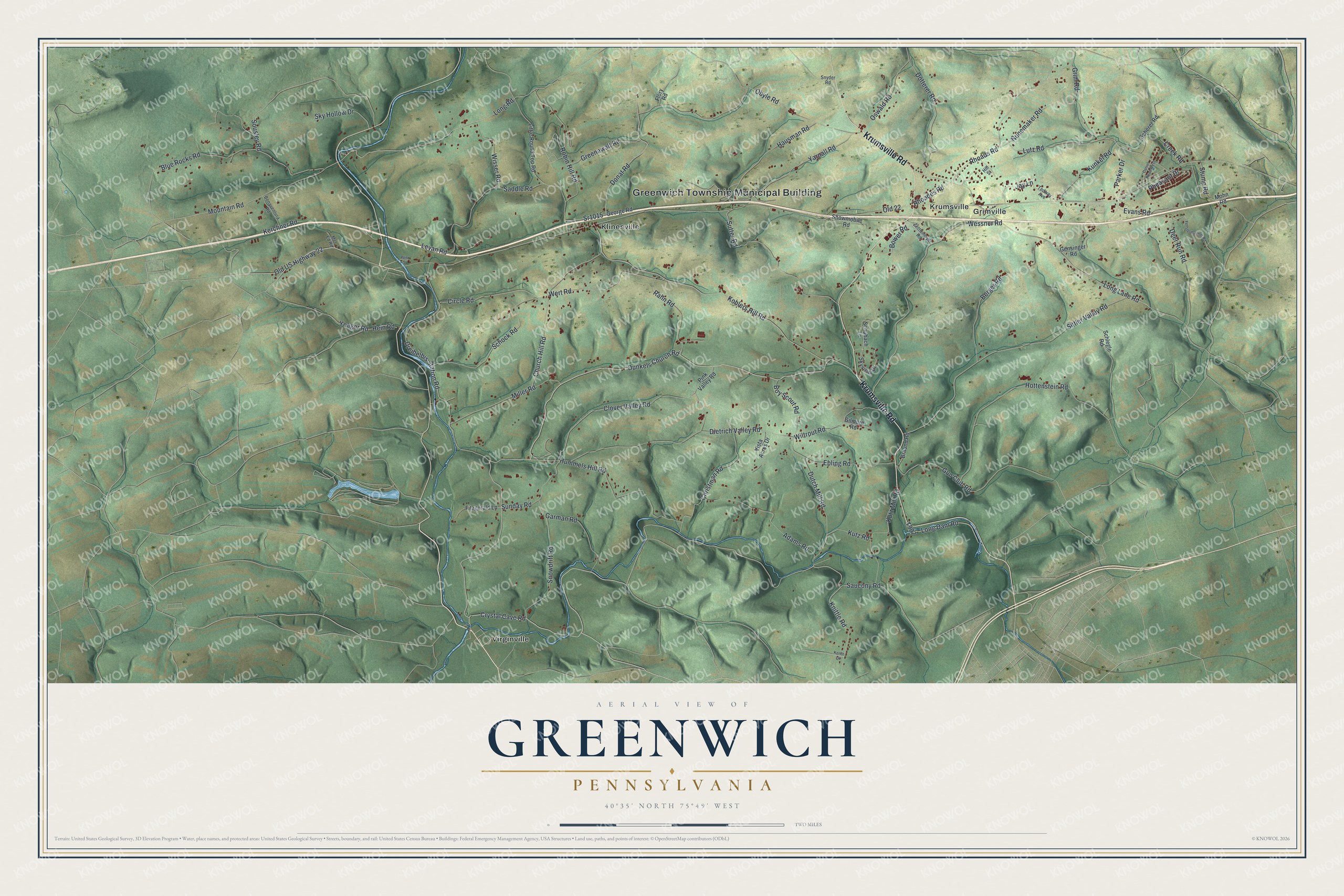
Street and place names on the Greenwich, Pennsylvania map
These names are printed on the map of Greenwich, Pennsylvania.
Places: Greenwich Township Municipal Building, Grimville, Klinesville, Krumsville and Virginville.
Streets and roads: Krumsville Road, Dunkels Church Road, Old 22, Saucony Road, Long Road, Lutz Road, Old US Highway 22, Kohlers Hill Road, Long Lane Road, Sittler Valley Road, Dreibelbis Station Road, Obyle Road.
More street names, A to Z
Adams Road, Berger Road, Blue Rocks Road, Bonaventura Road, Bower Road, Boy Scout Road, Braund Road, Christman Road, Church Hill Road, Circle Road, Clover Valley Road, Creek Road, Crystal Cave Road, Daniel Road West, Deer Run Road, Dietrich Valley Road, Donat Road, Dotterer Road, Dutch Mill Road, Ebling Road, Evans Road, Fenstermacher Road, Fitzgerald Lane, Flory Road, Garman Road, Gensinger Road, George Road, Gilmore Road, Greenawalt Road, Grim Road, Gun Club Road, Hausman Road, Hein Road, Hill Street, Hottenstein Road, Hummels Hill Road, Jay Lane, Kerchner Road, Kerith Lane, Knittle Road, Kunkel Road, Kutz Mill Road, Kutz Road, Levan Road, Little Round Top Road, Long Dam Road, Met Ed Road, Miller Road, Mohn Road, Mountain Road, Nunemaker Road, Oswald Road, Parker Drive, Penn Street, Pheasant Drive, Pink Valley Road, Rahn Road, Rhoades Road, Rhoads Road, Robin Hill Road, Saddle Road, Scherer Road, Schlegle Road, Schock Road, Schubach Lane, Sky Hollow Drive, Skyview Drive, Snowdrift Road, Snowmobile Road, Snyder Road, Sousley Road, Sr1015, Stump Road, Sunday Road, Sutter Road, Tedway Avenue, Vista Acres Drive, Wert Road, Wessner Road, Wiltrout Road, Wisser Road, Yarnall Road, Yeager Road, Zettlemoyer Road.
See the Greenwich, Pennsylvania map on a wall
The Greenwich map as an 18 x 24 inch print in a black frame.

This beautifully detailed map of Greenwich makes an attractive addition to your office, library, or den, and it can even be used to teach children the geography and history of the area. It also makes a great gift for anyone with Greenwich roots. When you’re done exploring, click here to get your copy of the Greenwich map.