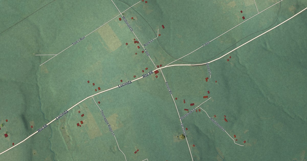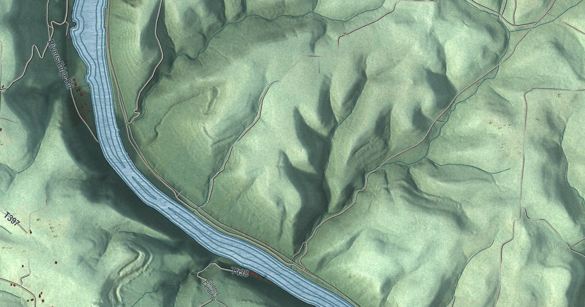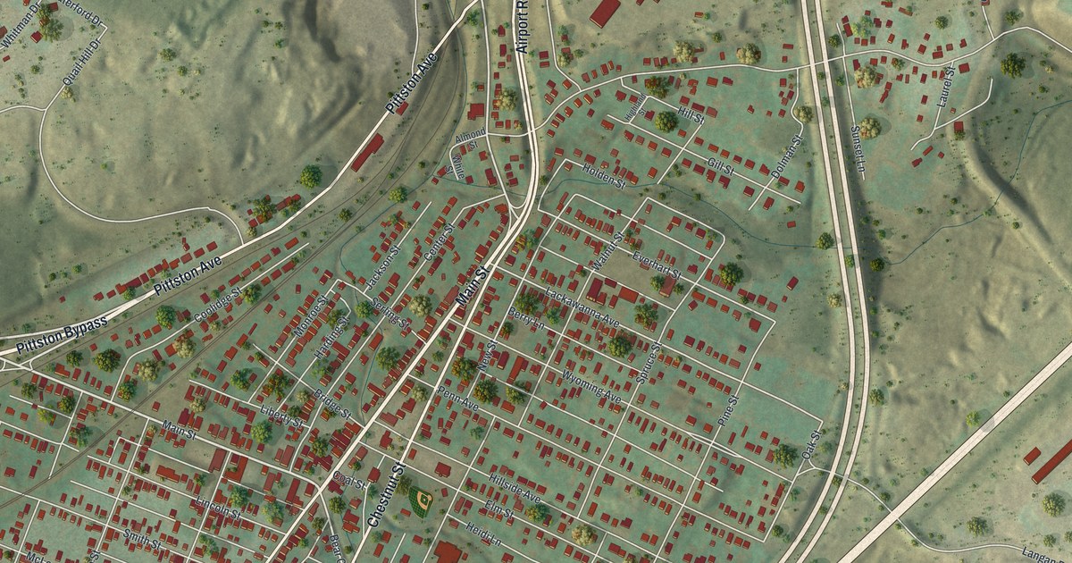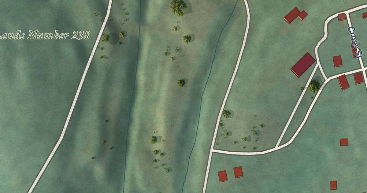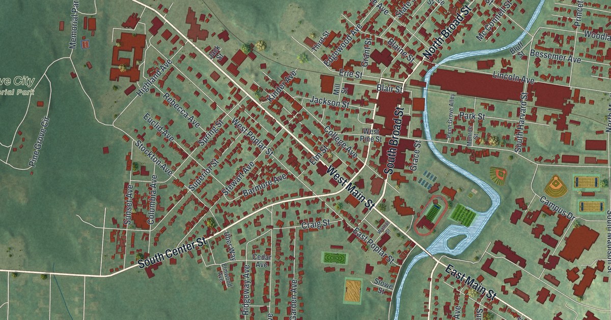
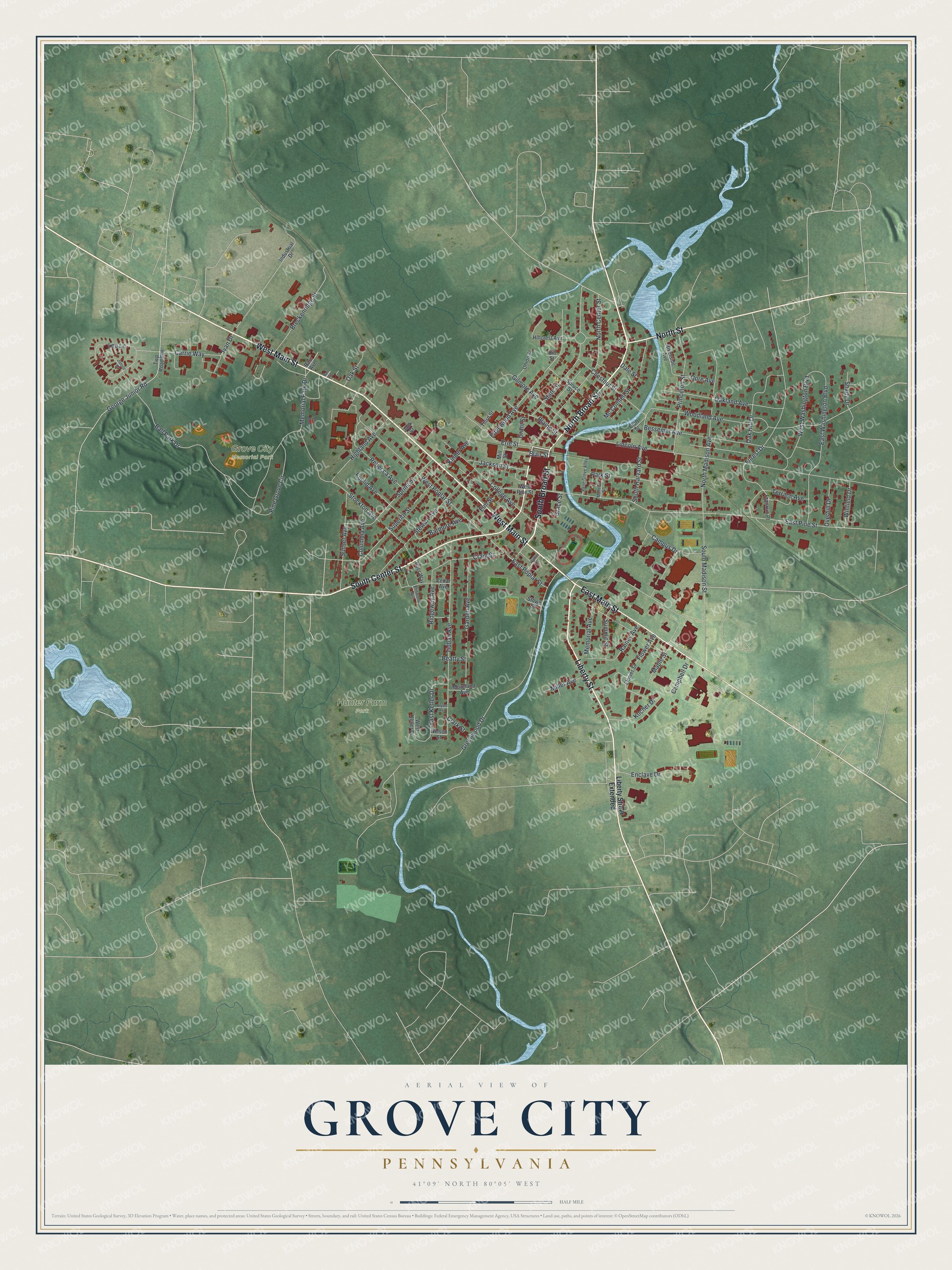
This beautifully detailed map of Grove City, Pennsylvania was created in 2026 using aerial imagery combined with modern topographical, census, street and landmark data. It’s a one-of-a-kind view of Grove City that combines accurate data with a vintage aesthetic. The map shows every building in its true location, many of the roads carry their names, and the shaded topographic relief shows the shape of the land.
Explore an aerial view of Grove City, Pennsylvania
On the map you’ll find Grove City Memorial Park and Hunter Farm Park, along with North Broad Street, South Broad Street, West Main Street, South Center Street, East Main Street, Liberty Street, North Street, East Pine Street, Woodland Avenue, Forest Drive, and more. If you look closely you can even find your house accurately drawn in its correct location. Zoom in on the preview to look for yours.
Did you know this piece of Grove City, Pennsylvania history?
From the History of Mercer County: "The flourishing town of Grove City, located in Pine Township, in the southeastern part of the county, was formerly called Pine Grove, and was laid out in 1844-45 by J. G. and Charles Cunningham."
Take a closer look at the Grove City map
Street and place names on the Grove City, Pennsylvania map
These names are printed on the map of Grove City, Pennsylvania.
Places: Grove City Memorial Park and Hunter Farm Park.
Streets and roads: North Broad Street, South Broad Street, West Main Street, South Center Street, East Main Street, Liberty Street, North Street, East Pine Street, Woodland Avenue, Forest Drive, Greenwood Drive, Lincoln Avenue.
More street names, A to Z
Ball Park Drive, Barmore Avenue, Barr Avenue, Barr Road, Beatty Street, Bessemer Avenue, Blaine Street, Blair Street, Bluff Street, Breckenridge Street, Bryant Avenue, Campbell Drive, Campus Drive, Carrie Way, Cedar Avenue, Chestnut Street, Clark Street, College Avenue, Columbia Avenue, Craig Street, Dale Street, East Ketler Drive, East Poplar Street, East Washington Boulevard, Edgewood Avenue, Elm Street, Elmwood Avenue, Enclave Drive, Erie Street, Euclid Avenue, Flower Avenue, Flower Street, Franklin Place, Garden Avenue, George Junior Road, Gilmore Avenue, Grace Street, Grant Street, Highland Avenue, Hillcrest Avenue, Hill Street, Industrial Drive, Ivan Drive, Jackson Street, Jack Street, Junior Drive, Kinder Avenue, Kocher Drive, Lee Lane, Liberty Street Extended, Maple Street, Mc Connell Street, Memorial Avenue, Memorial Park Drive, Miller Avenue, Mill Street, Monroe Street, Moreland Avenue, Nelson Street, North Center Street, North Madison Avenue, Oak Hill Drive, Oakland Avenue, Oak Street, Opre Avenue, Overhill Drive, Park Street, Penn Grove Alley, Pine Grove Circle, Princeton Street, Rainey Avenue, Rebecca Avenue, Ridgeway Avenue, Riverside Avenue, Shady Drive, South Harvard Street, South Madison Street, Spring Street, Spruce Street, State Street, Stewart Avenue, Stockton Avenue, Stowe Street, Summit Street, Sunset Avenue, Superior Street, Terrace Avenue, Third Street, Tidball Avenue, Twp Road 808, Uber Way, Union Street, Walnut Street, West Ketler Drive, West Pine Street, West Poplar Street, West Washington Boulevard, Winfield Drive.
See the Grove City, Pennsylvania map on a wall
The Grove City map as an 18 x 24 inch print in a black frame.

This beautifully detailed map of Grove City makes an attractive addition to your office, library, or den, and it can even be used to teach children the geography and history of the area. It also makes a great gift for anyone with Grove City roots. When you’re done exploring, click here to get your copy of the Grove City map.