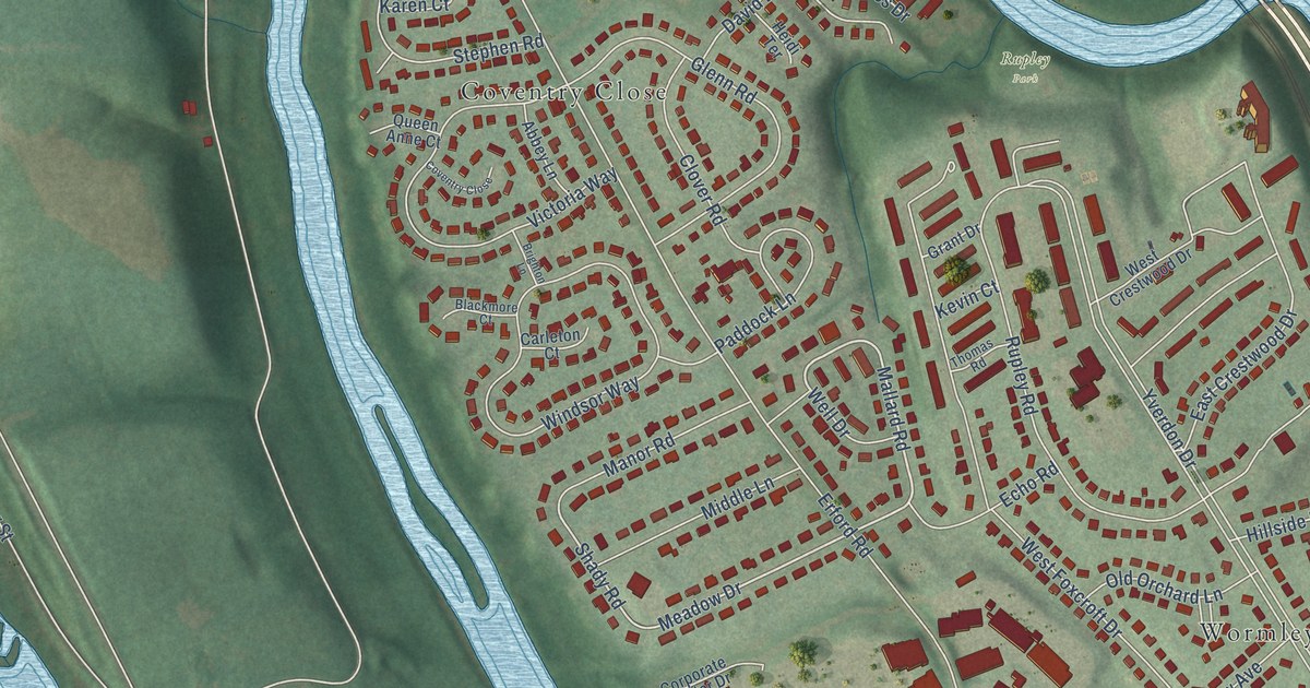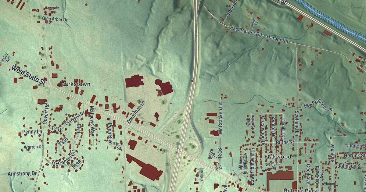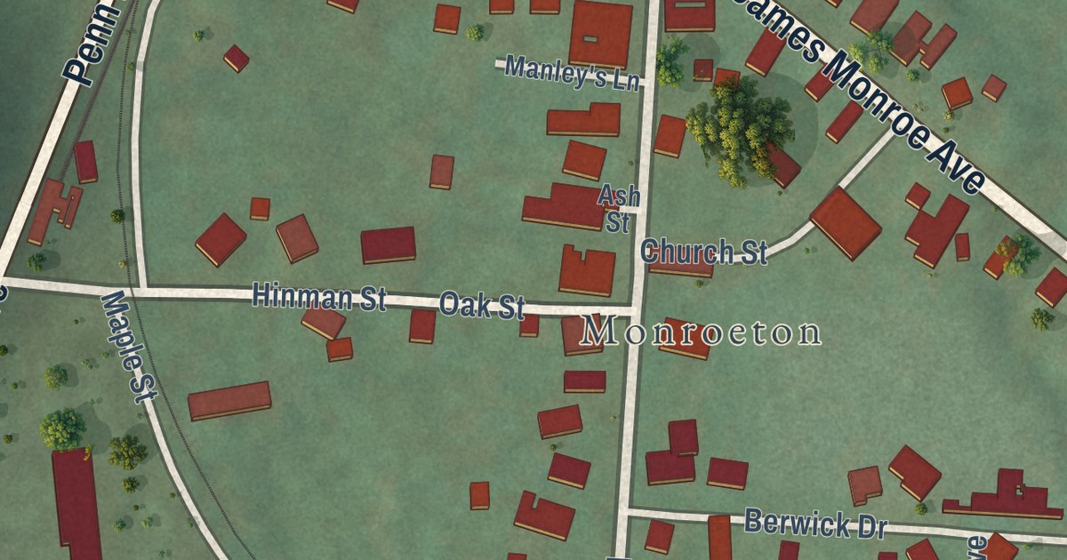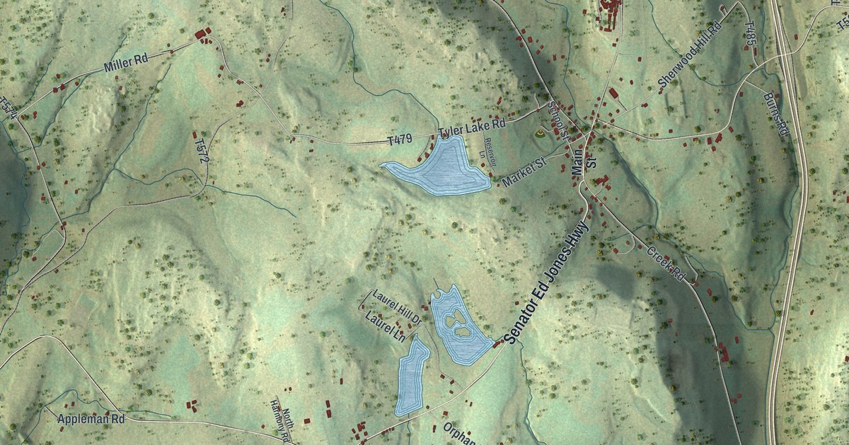
This beautifully detailed map of Harford, Pennsylvania was created in 2026 using aerial imagery combined with modern topographical, census, street and landmark data. It’s a one-of-a-kind view of Harford that combines accurate data with a vintage aesthetic. The map shows every building in its true location, many of the roads carry their names, and the shaded topographic relief shows the shape of the land.
Explore an aerial view of Harford, Pennsylvania
On the map you’ll find Oakley, Kingsley, and Alford, along with Senator Ed Jones Highway, Lackawanna Trail, Harford Road, Milford and Owego Turnpike Road, Tyler Lake Road, Oakley Crossing Road, Plank Road, and more. If you look closely you can even find your house accurately drawn in its correct location. Zoom in on the preview to look for yours.
Did you know this piece of Harford, Pennsylvania history?
From the 1873 History of Susquehanna County, Pennsylvania: "The volunteer testimony of two of the oldest physicians of the county now living, is sufficient to endorse her skill as a practitioner in the specialities she adopted."
Take a closer look at the Harford map
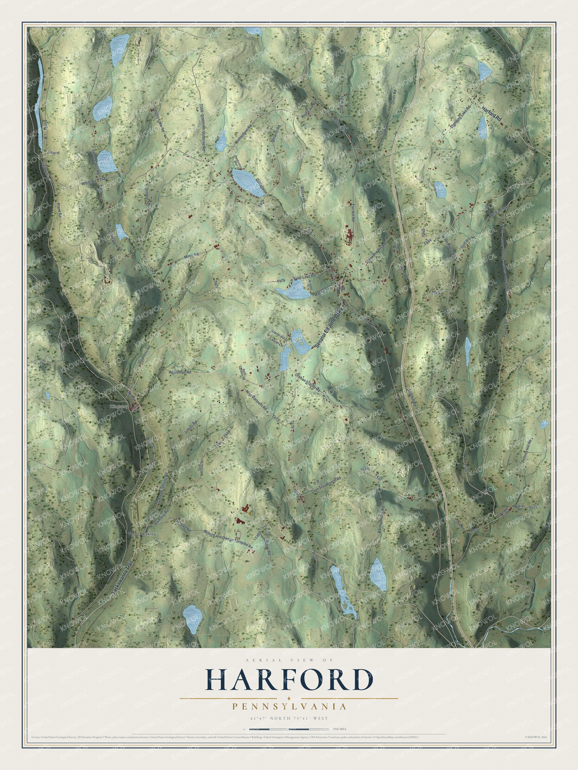
Street and place names on the Harford, Pennsylvania map
These names are printed on the map of Harford, Pennsylvania.
Places: Oakley, Kingsley and Alford.
Streets and roads: Senator Ed Jones Highway, Lackawanna Trail, Harford Road, Milford and Owego Turnpike Road, Tyler Lake Road, Oakley Crossing Road, Plank Road, Miller Road, Goff Road, Mill Street, Upper Podunk Road, Stearns Road.
More street names, A to Z
Appleman Road, Barefooters Boulevard, Bartholomew Road, Beaver Meadow Road, Blanding Lake Road, Burns Road, Cobb Road, Cottage Lane, Creek Road, Deer Trail Ranch Road, Fair Hill Road, Grinnell Road, Harmony Road, Jeffers Road, Jefffers Road, Laurel Hill Drive, Laurel Lane, Lower Podunk, Lower Podunk Road, Main Street, Market Street, Nine Partners Road, North Harmony Road, Old Route 11, Oliver Road, Orphan School Road, Osborne Road, Osborn Road, Pennay Hill Road, Penney Hill Road, Podunk Road, Pr Drive, Reservoir Lane, Richardson Road, Ross Street, School Street, Sherwood Hill Road, Shoup Road, South Harmony Road, Station Road, Stephens Road, Still Hill Road, Three Lakes Road, Tingley Lake Road, Tingley Street, Tripps Road, Turnpike Road, Tyler Road, Wescott Road, White Road, Wilcox Road, Wilkins Road, Wolf Lake Road.
See the Harford, Pennsylvania map on a wall
The Harford map as an 18 x 24 inch print in a black frame.

This beautifully detailed map of Harford makes an attractive addition to your office, library, or den, and it can even be used to teach children the geography and history of the area. It also makes a great gift for anyone with Harford roots. When you’re done exploring, click here to get your copy of the Harford map.