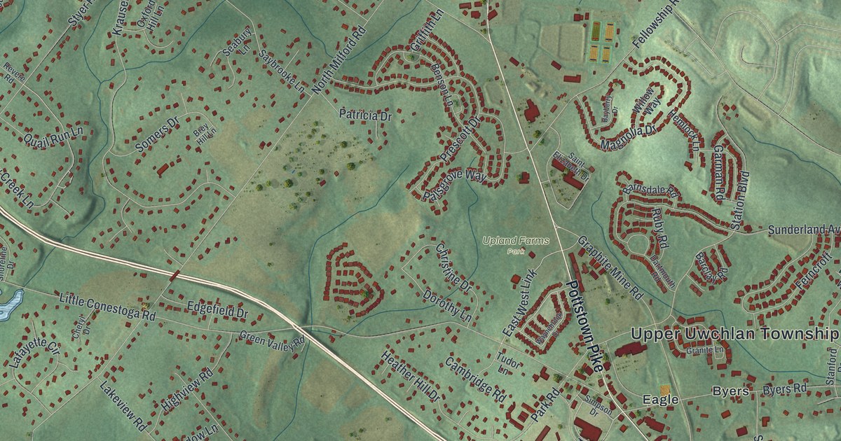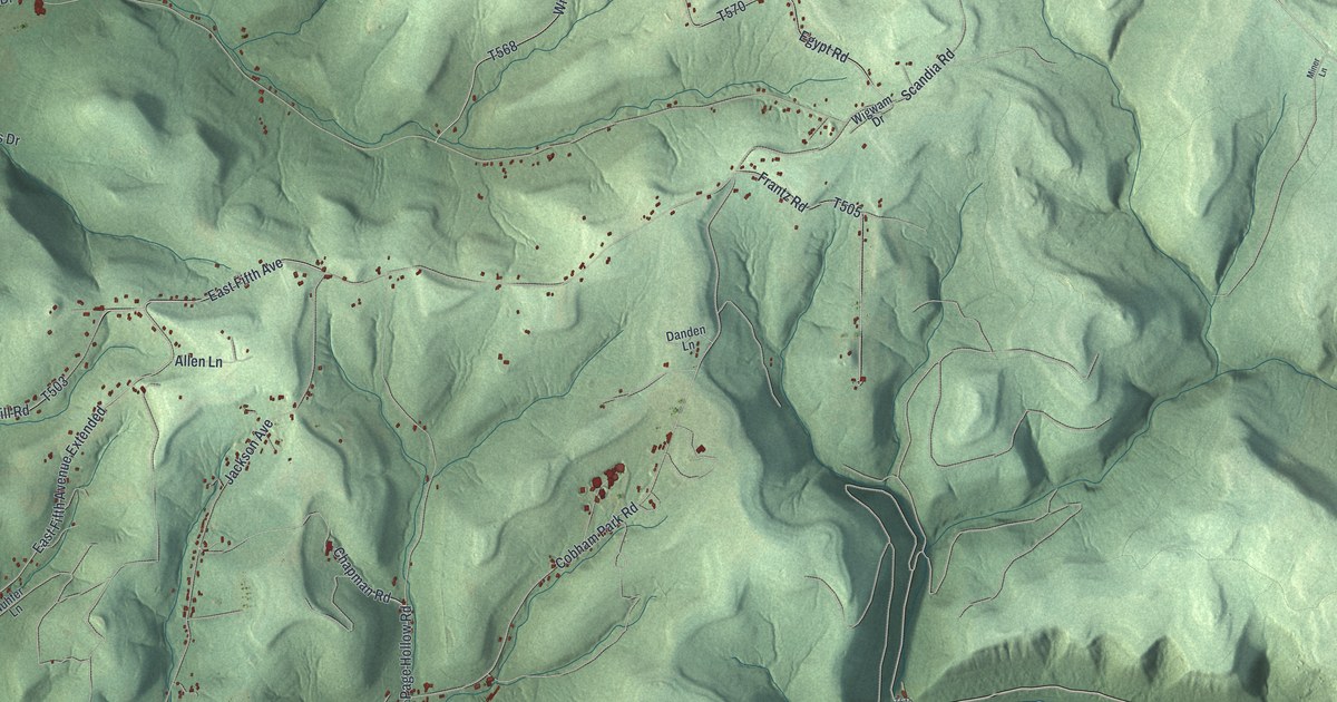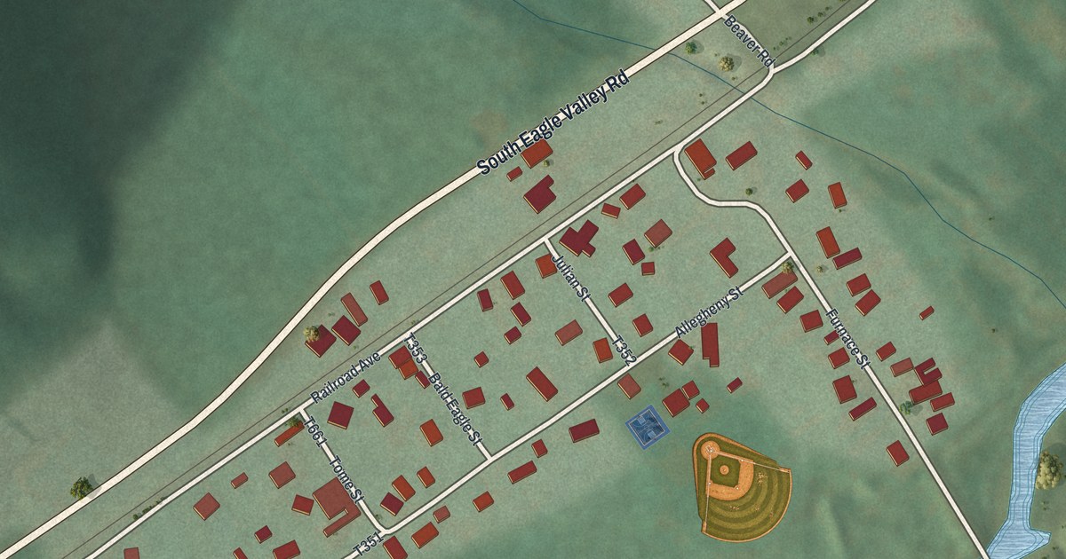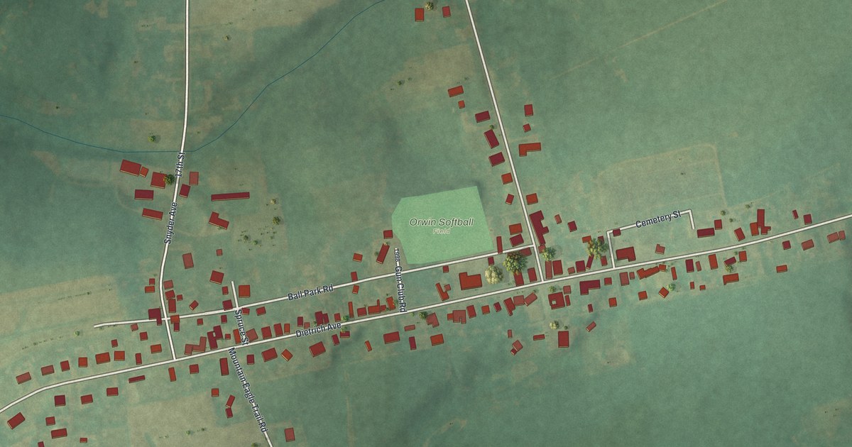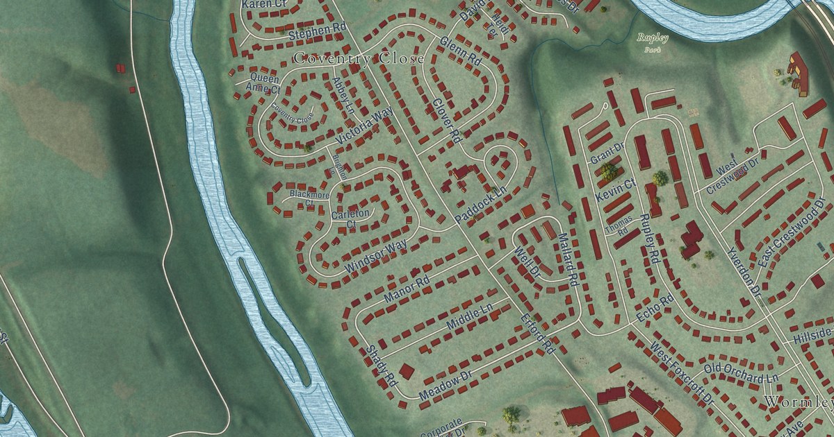
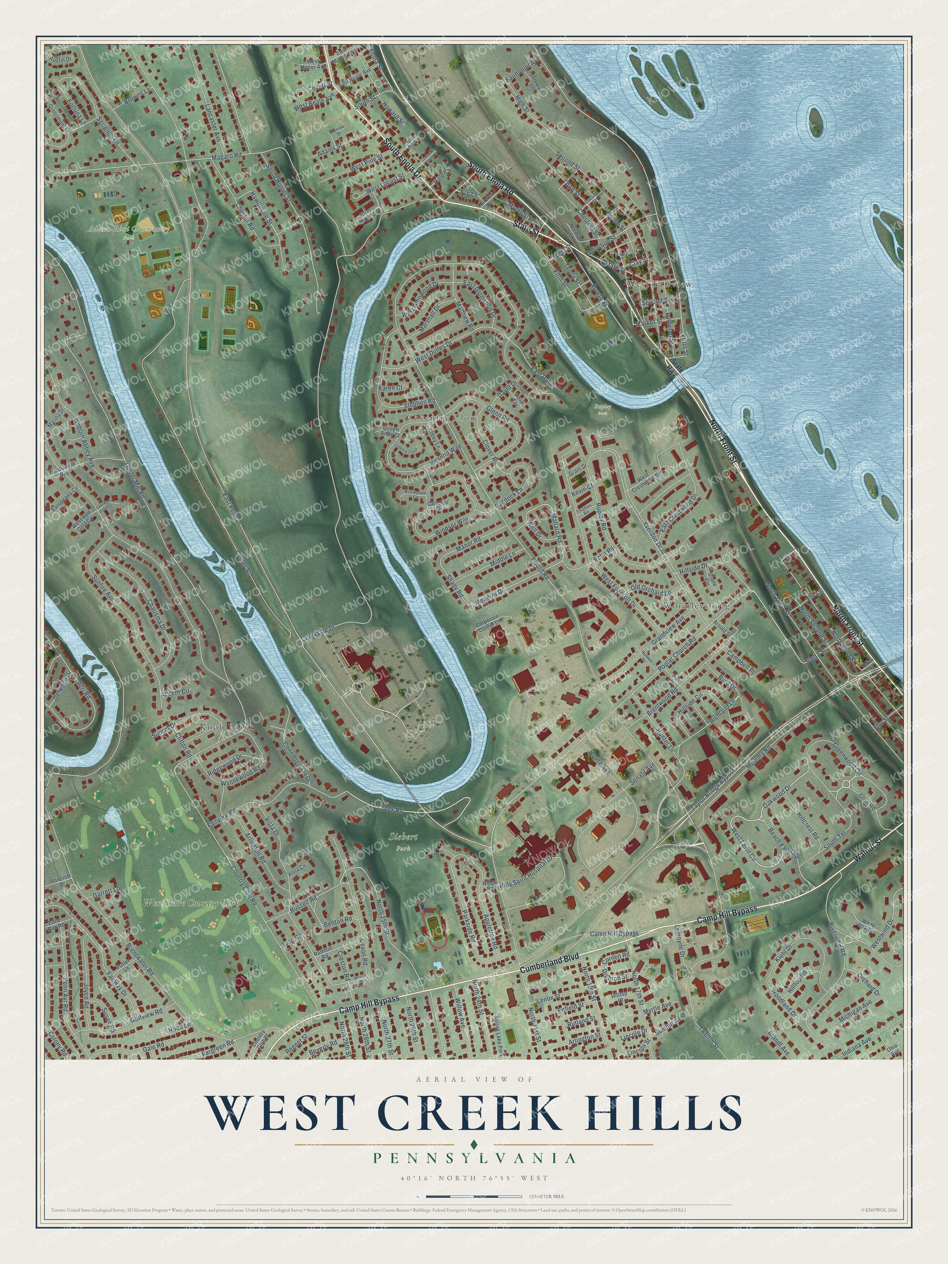
This beautifully detailed map of West Creek Hills, Pennsylvania was created in 2026 using aerial imagery combined with modern topographical, census, street and landmark data. It’s a one-of-a-kind view of West Creek Hills that combines accurate data with a vintage aesthetic. The map shows every building in its true location, many of the roads carry their names, and the shaded topographic relief shows the shape of the land.
Explore an aerial view of West Creek Hills, Pennsylvania
On the map you’ll find Adams-Ricci Community Park, Siebert Park, Rupley Park, Wormleysburg, West Fairview, Coventry Close, Knob Point, and West Shore Country Club, along with Camp Hill Bypass, Cumberland Boulevard, North Front Street, South Enola Road, and more. If you look closely you can even find your house accurately drawn in its correct location. Zoom in on the preview to look for yours.
Take a closer look at the West Creek Hills map
Names on this map
These names are printed on this map.
Places: Adams-Ricci Community Park, Siebert Park, Rupley Park, Wormleysburg, West Fairview, Coventry Close, Knob Point, West Shore Country Club and Spring Lake Park.
Streets and roads: Camp Hill Bypass, Cumberland Boulevard, North Front Street, South Enola Road, South Enola Drive, Walnut Street, State Street, Glen Road, West Lawn Circle, Oakwood Drive, Beach Farm Road, Hawthorne Street.
More street names, A to Z
Abbey Lane, Abolition Street, Accent Circle, Acri Road, Adams Street, Appletree Road, Arlington Road, Arlington Street, Arnold Street, Austin Drive, Avon Road, Benton Road, Beverly Road, Biddle Street, Blackmore Court, Brandt Avenue, Brentwater Road, Brentwood Road, Briar Ridge Circle, Brier Road, Brighton Lane, Browns Lane, Burd Drive, Campbell Place, Carleton Court, Center Street, Charisma Drive, Chester Road, Chestnut Street, Clay Street, Clifton Road, Clover Road, Colony Road, Conodoguinet Drive, Cornell Road, Corporate Center Drive, Country Club Place, Country Club Road, Covert Street, Creek Road, Creekside Drive, Creston Road, David Drive, Delwood Drive, Dennis Drive, Devon Road, Diane Circle, Dighton Street, East Beale Avenue, East Crestwood Drive, East Dulles Drive, East Glenwood Drive, East Locust Street, East Manor Avenue, East Penn Drive, East Pine Street, East Red Gold Circle, Echo Road, Edna Street, Elm Street, Enfield Street, Enola Street, Erb Lane, Erford Road, Europeana Circle, Fairmount Avenue, Fairview Avenue, Fairview Road, Fairway Drive, Fargreen Road, Fifth Street, Fortuna Lane, Fourth Street, Foxcroft Drive, Front Street, Gale Road, Garrett Lane, Glenn Road, Golfview Road, Grandview Avenue, Grant Drive, Greenmont Drive, Greenwood Circle, Haldeman Street, Heidi Terrace, Helen Street, High Street, Hillcrest Road, Hillside Circle, Hillside Drive, Hilltop Court, Hilltop Road, Holmes Street, Holy Spirit Hospital Drive, Hood Lane, House Avenue, Howard Street, Hunter Lane, Indiana Avenue, Joyce Road, Karen Court, Kevin Court, Kiehl Drive, Lancaster Avenue, Lemoyne Drive, Lenox Street, Lincoln Drive, Lincoln Street, Little Run Road, Locust Street, Lutheran Street, Magaro Road, Mallard Road, Manor Road, Marina Drive, Market Street, Marshall Drive, Matthew Road, Meadow Drive, Merion Road, Michigan Avenue, Middle Lane, Monroe Street, Mulberry Street, Mumma Road, Myers Street, Myrtle Avenue, Norman Street, North 17th Street, North 19th Street, North 21st Street, North 24th Street, North 25th Street, North 26th Street, North 27th Street, North 28th Street, North 29th Street, North River Street, North Second Street, North Third Street, Ohio Avenue, Old Orchard Lane, Olive Street, Orchard Drive, Oyster Mill Road, Paddock Lane, Parkside Road, Penn Ayr Road, Poplar Church Road, Putter Lane, Queen Anne Court, Rathton Road, Regent Street, Richland Lane, Ridge Road, Ridgewood Drive, Riverview Road, Rupley Road, Russell Road, Rutland Street, Second Avenue, Second Street, Senate Avenue, Sgrignoli Lane, Shady Road, South Humer Street, South Street, South Terrace, State Highway, Stella Street, Stephen Road, Stewart Lane, Summit Avenue, Sunfire Avenue, Sunset Drive, Susan Road, Taylor Bridge Bypass, Tenny Street, Third Street, Thomas Road, Twelfth Street, Victoria Way, Vista Circle, Vista Drive, Well Drive, West Beale Avenue, West Crestwood Drive, West Dulles Drive, West Foxcroft Drive, West Glenwood Drive, West Locust Street, West Manor Avenue, West Pine Street, West Red Gold Circle, West Street, Westwind Drive, White Oak Circle, Willow Avenue, Windsor Way, Windswept Way, Woburn Abbey Avenue, Woodland Drive, Wynnewood Road, Yverdon Drive.
See it on a wall
The West Creek Hills map as a framed print. Swipe for more.


This beautifully detailed map of West Creek Hills makes an attractive addition to your office, library, or den, and it can even be used to teach children the geography and history of the area. It also makes a great gift for anyone with West Creek Hills roots. When you’re done exploring, click here to get your copy of the West Creek Hills map.