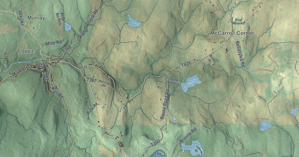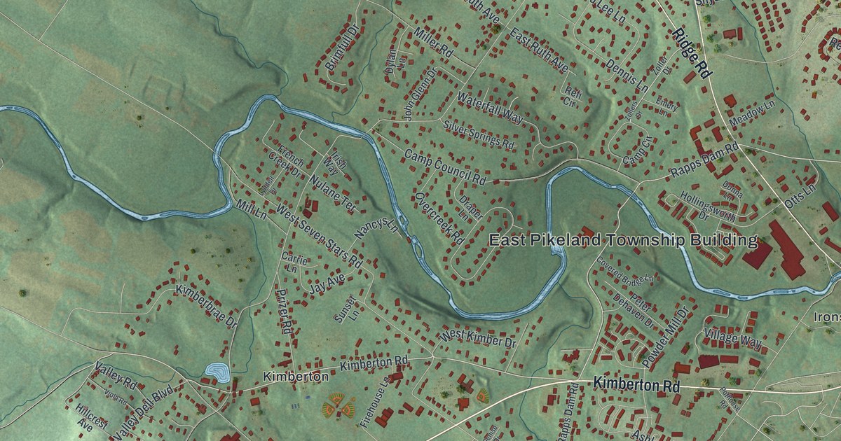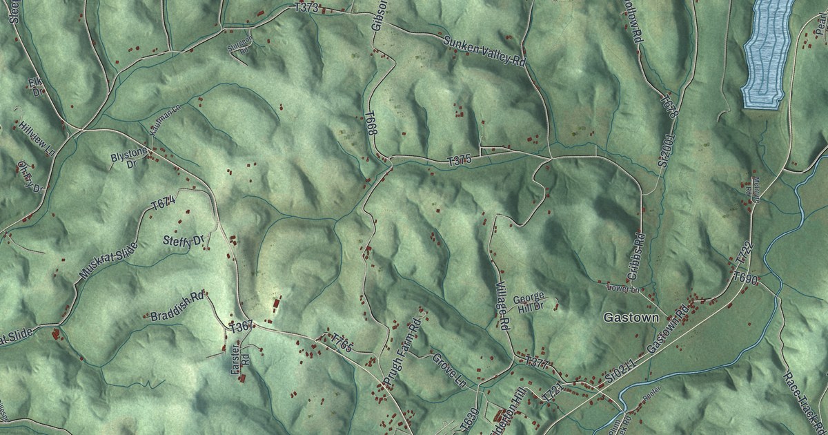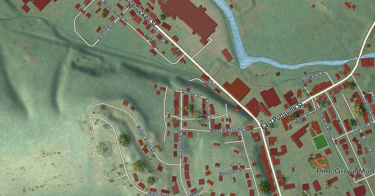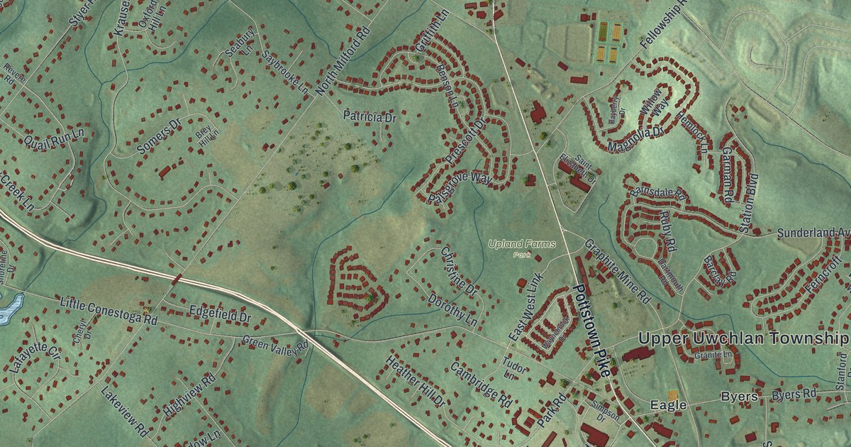
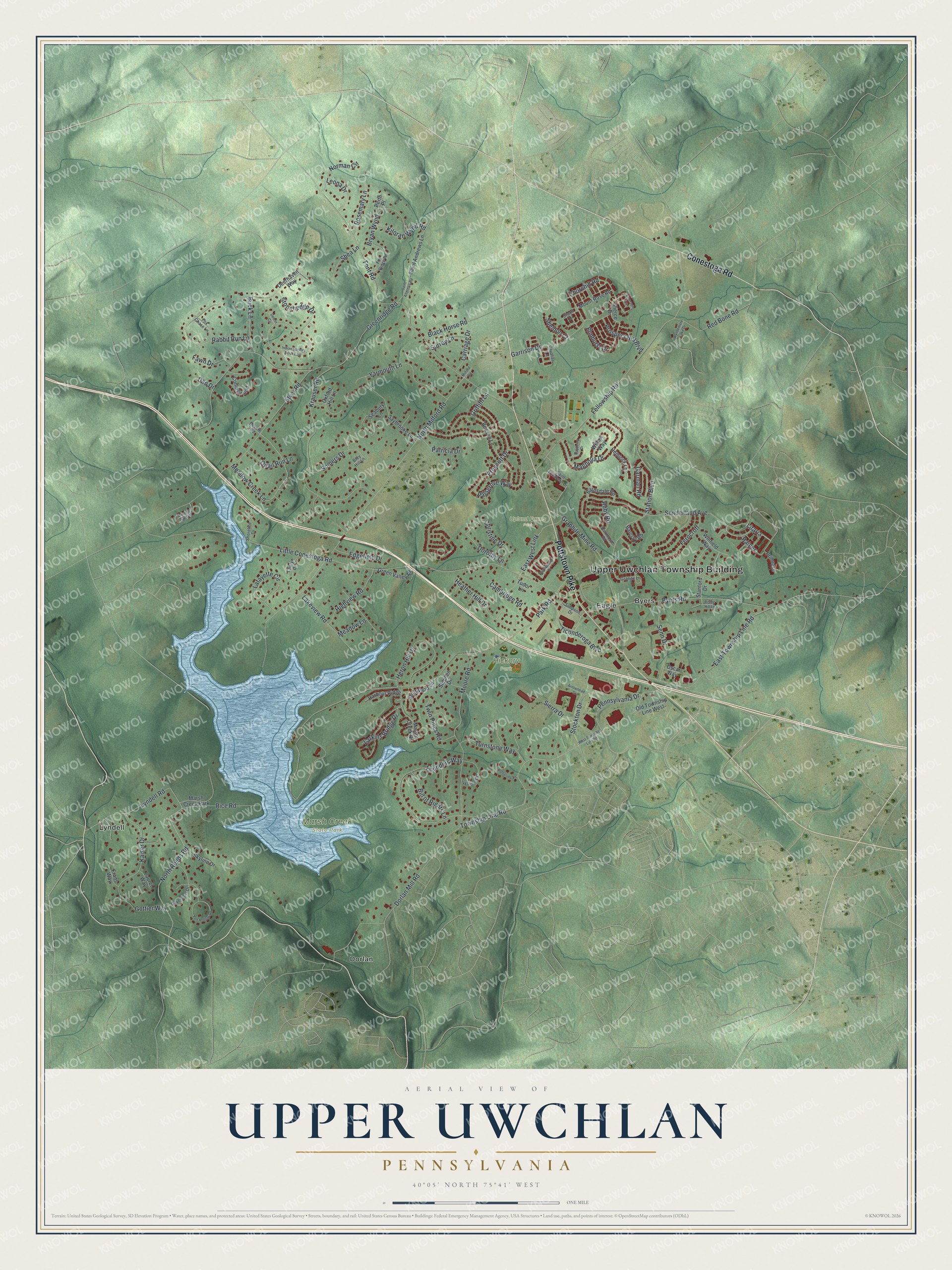
This beautifully detailed map of Upper Uwchlan, Pennsylvania was created in 2026 using aerial imagery combined with modern topographical, census, street and landmark data. It's a modern aerial view of Upper Uwchlan in Chester County, Pennsylvania, that combines modern data with a vintage aesthetic. The roads feature printed names, and if you look closely you can find your exact house accurately shown in its correct location.
Explore an aerial view of Upper Uwchlan, Pennsylvania
On this map you'll find Upper Uwchlan Township Building, Hickory Park, Marsh Creek State Park, Upland Farms Park, Byers, Dorlan, Eagle, Lyndell, Pottstown Pike, Conestoga Road, Liraria, Graphite Mine Road, and more. Each red shape is a building, so zoom in on the preview and look for yours.
Here is a piece of Upper Uwchlan history, in the words of the record. The Upper Uwchlan Township puts it this way: "Upper Uwchlan Township was incorporated as a municipality in 1858. For more than 125 years, it had been the upper part of Greater Uwchlan Township."
Upper Uwchlan is a place in Chester County. The Census Bureau counted 12,275 people here in 2020.
Take a closer look at the Upper Uwchlan map
Names on this map
These names are printed on this map.
Places: Upper Uwchlan Township Building, Hickory Park, Marsh Creek State Park, Upland Farms Park, Byers, Dorlan, Eagle, Lyndell and Marsh Creek Park.
Streets and roads: Pottstown Pike, Conestoga Road, Liraria, Graphite Mine Road, North Reeds Road, Meadow Creek Lane, Township Line Road, East West Link, Park Road, Little Conestoga Road, North Milford Road, Font Road.
More street names, A to Z
Arrowhead Drive, Barclay Road, Barnsdale Road, Bayberry Drive, Benson Lane, Bill of Rights Lane, Black Horse Road, Brey Hill Lane, Bryan Wynd, Buck Lane, Byers Road, Cambridge Road, Carriage Drive, Cavalier Lane, Cheryl Drive, Christine Drive, Churchill Road, Collingwood, Dan Drive, Dartmouth Road, Davenport Drive, Deerhaven Way, Devon Circle, Dorlan Mill Road, Dorothy Lane, Driftwood Lane, East Township Line Road, Edgefield Drive, Elmhurst Drive, Emerson Circle, Fawn Drive, Fellowship Road, Ferncroft, Founders Way, Fox Chase Lane, Fox Hollow Road, Fox Ridge Road, Frans Way, Garman Road, Garrison Drive, Gottier Way, Granite Lane, Greenridge Road, Green Valley Road, Griffith Lane, Harbour Ridge, Heather Hill Drive, Hemlock Lane, Heron Hill Drive, Highview Road, Indian Springs Drive East, Ivystone Drive, Kaiser Drive, Kiloran Wynd Road, Krauser Road, Lafayette Circle, Lakeview Road, Larkins Bridge Drive, Laurel Way, Leona Drive, Lyndell Road, Magnolia Drive, Marsh Creek Drive, Meadow Lane, Milford Road, Moore Road, Morning Light Road, Mount Rose Road, Norman Circle, Old Township Line West, Oscar Way, Oxford Hill Lane, Palsgrove Way, Patricia Drive, Pennsylvania Drive, Peregrine Lane, Perth Place, Pierce Drive, Prescott Drive, Primrose, Prospect Hill Boulevard, Quail Run Lane, Rabbit Run Lane, Rainer, Red Bone Road, Revere Road, Rice Road, Rising Hill Lane, Rosemary Lane, Ruby Road, Saint Andrews Lane, Saint Andrews Road, Saint Elizabeth Drive, Saybrooke Lane, Seabury Lane, Senn Drive, Shea Lane, Sheldon Court, Shoreline Drive, Sierra Drive, Simpson Drive, Skyline Drive, Somers Drive, Stanford Drive, Station Boulevard, Stephen Drive, Stockton Drive, Stonehedge Drive, Stuart Drive, Styer Road, Sunderland Avenue, Surrey Lane, Ticonderoga Boulevard, Tudor Lane, Turnstone Way, Twin Pines Road, Waynebrook Drive, West Township Line Road, Willow Way, Winfield Way, Wyndemere Lake Drive, Yarmouth Lane.
Created by KNOWOL in 2026. The buildings are small red shapes, the roads carry their printed names, and shaded relief shows the shape of the land. The title panel reads "AERIAL VIEW OF UPPER UWCHLAN PENNSYLVANIA" with 4, 0, °, 0, 5, ', , N, O, R, T, H, , 7, 5, °, 4, 1, ', , W, E, S, T.
It suits a den, a classroom or a front hall, and it makes a gift for anyone with Upper Uwchlan roots. Open the preview and find the block you know. See sizes and frames for the Upper Uwchlan map.