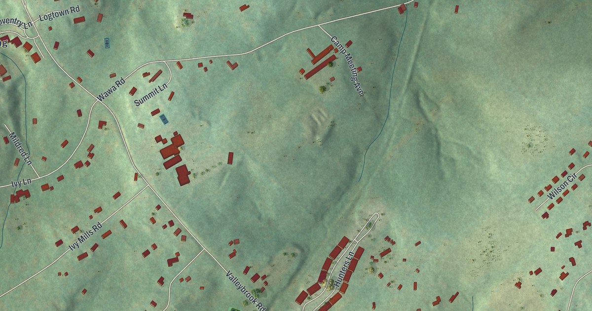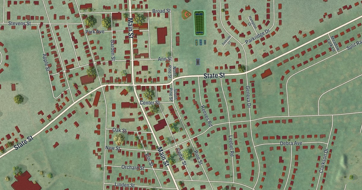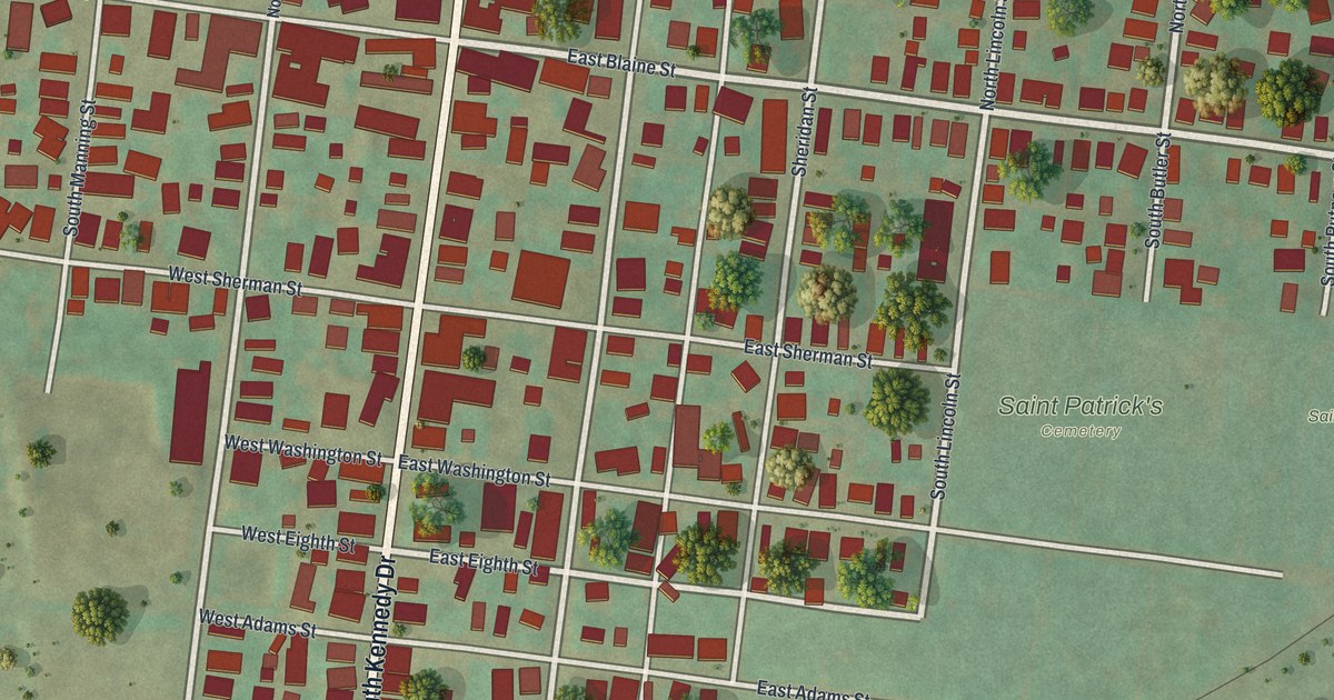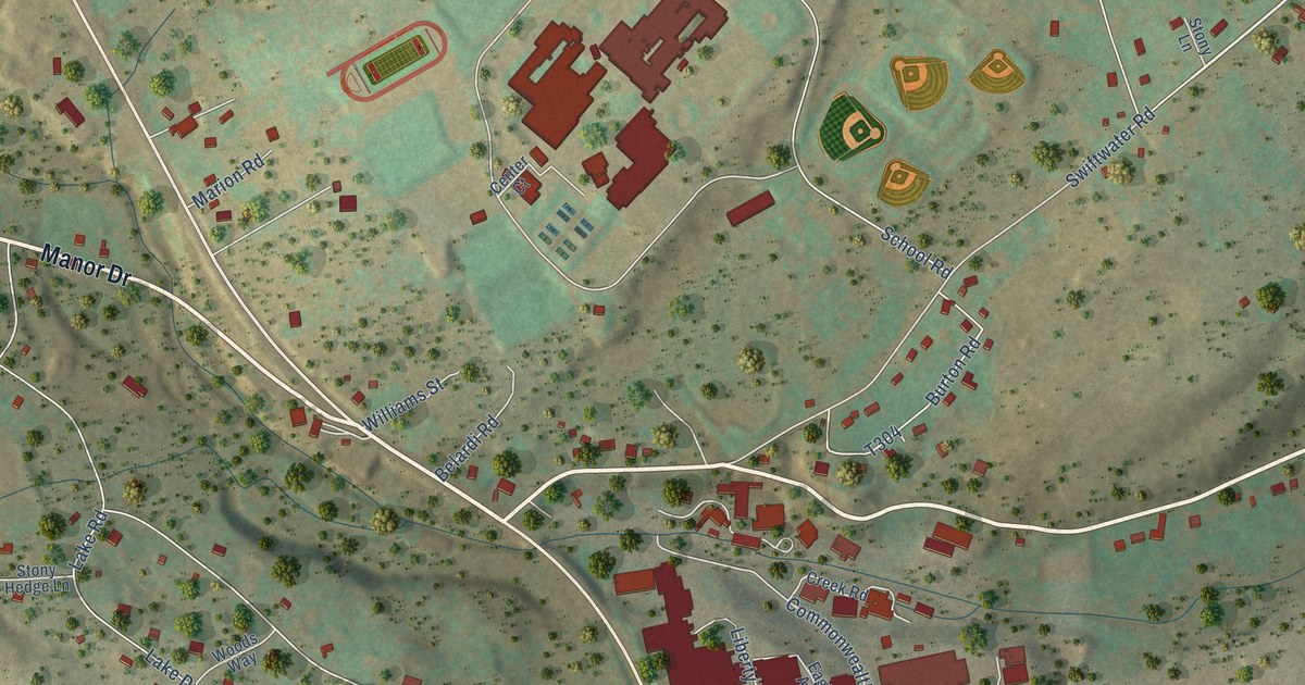
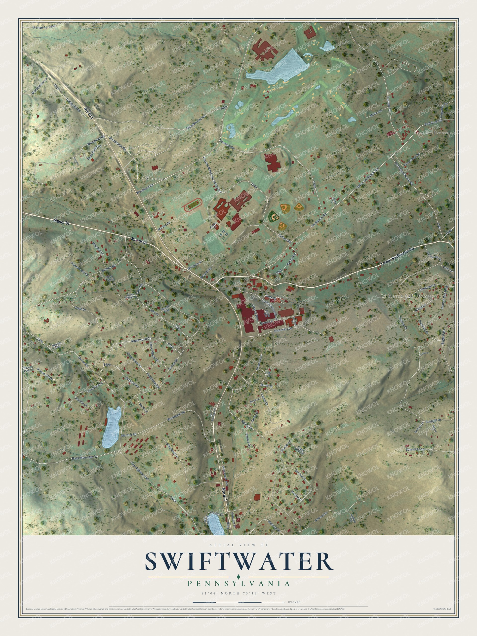
This beautifully detailed map of Swiftwater, Pennsylvania was created in 2026 using aerial imagery combined with modern topographical, census, street and landmark data. It’s a one-of-a-kind view of Swiftwater that combines accurate data with a vintage aesthetic. The map shows every building in its true location, many of the roads carry their names, and the shaded topographic relief shows the shape of the land.
Explore an aerial view of Swiftwater, Pennsylvania
On the map you’ll find East Swiftwater, Ski Haven Lake Estates, and Wiscasset, along with Lower Swiftwater Road, Manor Drive, Swiftwater Road, Red Rock Road, Linden Court, Lake Road, Lake Drive, and more. If you look closely you can even find your house accurately drawn in its correct location. Zoom in on the preview to look for yours.
Did You Know?
From Internet Archive: "In 1880 he established a mercantile business at Swiftwater, where he remained eight years."
Swiftwater is a community in Monroe County.
Take a closer look at the Swiftwater map
Names on this map
These names are printed on this map.
Places: East Swiftwater, Ski Haven Lake Estates, Wiscasset, Pocono Park and Leisure Lake.
Streets and roads: Route 611, Lower Swiftwater Road, Manor Drive, Swiftwater Road, Red Rock Road, Linden Court, Lake Road, Lake Drive, Summit Road, Brookdale Road, Woodland Road, Twp Highway 545.
More street names, A to Z
Almond Drive, Applewood Drive, Arline Lane, Back Mountain Road, Belardi Road, Birch Lane, Birch Road, Birch Tree Lane, Bowman Road, Bumble Bee Pass, Burton Road, Cardinal Road, Carlton Road, Cashew Way, Center Court, Commonwealth Lane, Creek Road, Crest View Road, Crestview Road, Discovery Drive, Dogwood Terrace, Dyson Road, Eagle Avenue, Eagle Pass, Eagle Ridge Drive, Enforcer Lane, Grange Road, Green Lane, Hci Wiscasset Drive, Hemlock Drive, Horseshoe Road, Keystone Drive, Lakeview Lane, Laurel Drive, Laurel Wood Drive, Liberty Way, Marion Road, Marque Road, Meadow Court, Meadow Lane, Meadowside Road, Melrose Drive, Misty Gln, Montanesca Lane, Oak Lane, Old Schoolhouse Road, Orchard Road, Paweda Hill Road, Pinetree Drive, Pocono Mountain School Road, Pocono Park Lane, Ponder Lane, Rieman Way, Rock Lane, Rock Ridge Road, School Road, Scotrun Drive, Shepherd Lane, Ski Haven Drive, Slate Drive, Spring Drive, Spruce Court, Spruce Drive, Starlite Court, Stonecrop Lane, Stony Hedge Lane, Stony Lane, Stricklands Road, Sunbird Court, Sundial Court, Sunlight Court, Sunlight Drive, Sunray Court, Sunrise Loop, Sunset Drive, Tr610, Trinity Hill Road, Upper Swiftwater Road, Vista Drive, Williams Street, Wiscasset Avenue, Wiscasset Road, Woods Way.
See it on a wall
The Swiftwater map as a framed print. Swipe for more.


This beautifully detailed map of Swiftwater makes an attractive addition to your office, library, or den, and it can even be used to teach children the geography and history of the area. It also makes a great gift for anyone who grew up in Swiftwater or moved away. When you’re done exploring, click here to get your copy of the Swiftwater map.