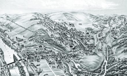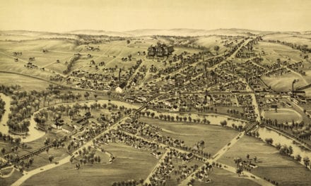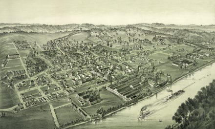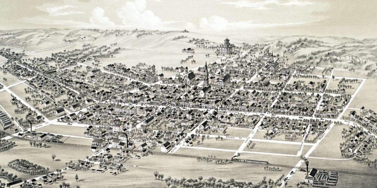
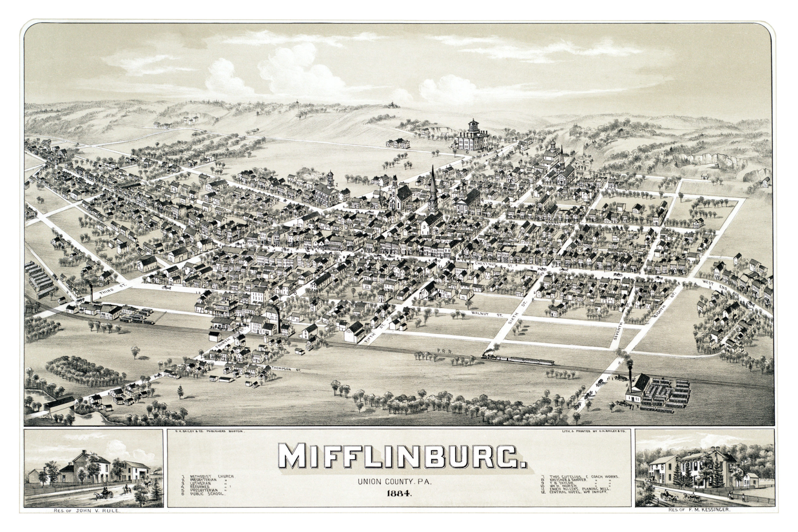
This map of Mifflinburg, Pennsylvania was created in 1884 by O.H. Bailey, a prominent 19th century map maker. The map shows a detailed bird’s eye view of Mifflinburg as it used to be, including street names and old landmarks.
Landmarks on the map include Enoch Millers Planing Mill, Central Hotel, Mifflinburg Public School, Methodist Church, Presbyterian Church, Lutheran Church, and three coach manufacturing companies.
This historic map of Mifflinburg has been restored by KNOWOL. Reproductions of the map are available here.
Bird’s Eye View of Mifflinburg, PA in 1884
This old map of Mifflinburg makes an attractive addition to your office, library, or den, and can even be used to teach children the geography and history of the area. When you’re done exploring, click here to get your copy.