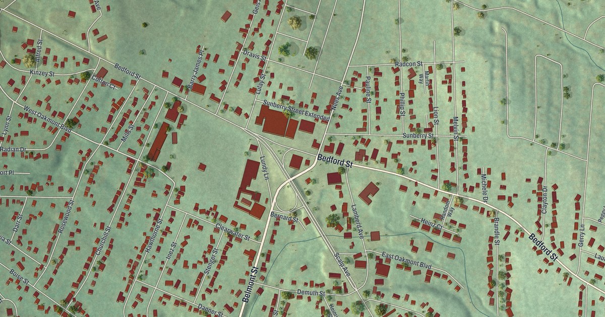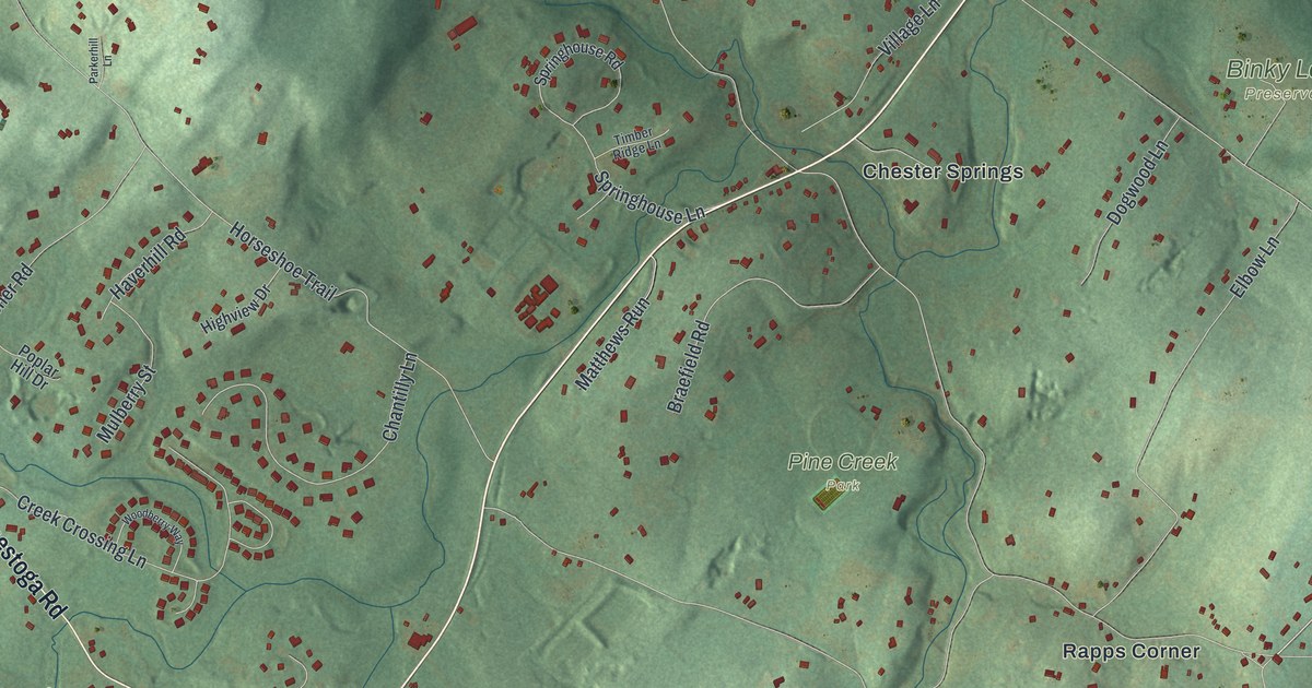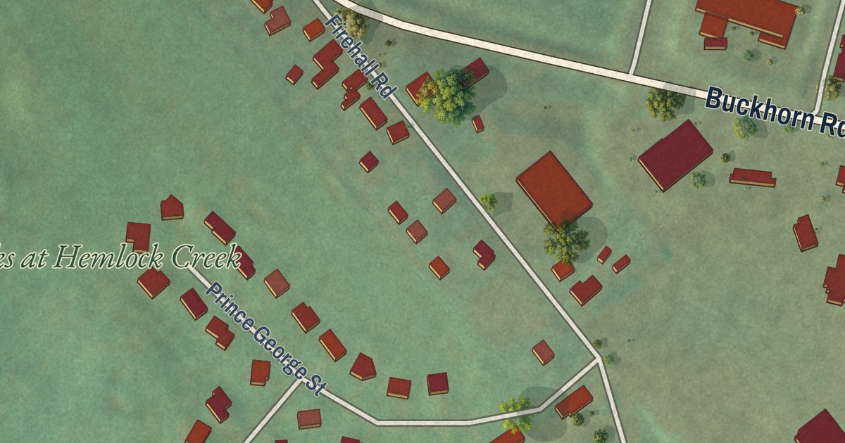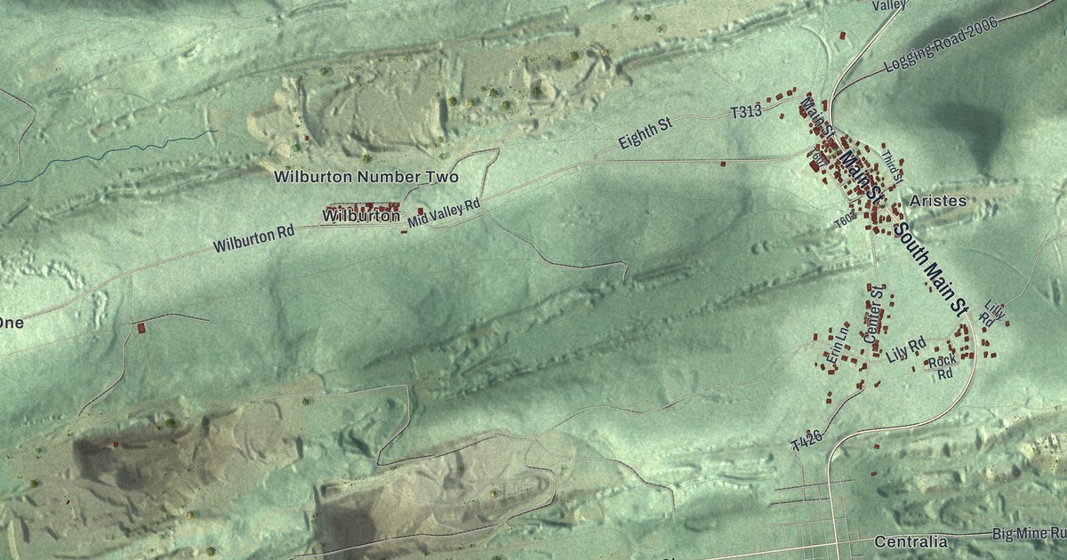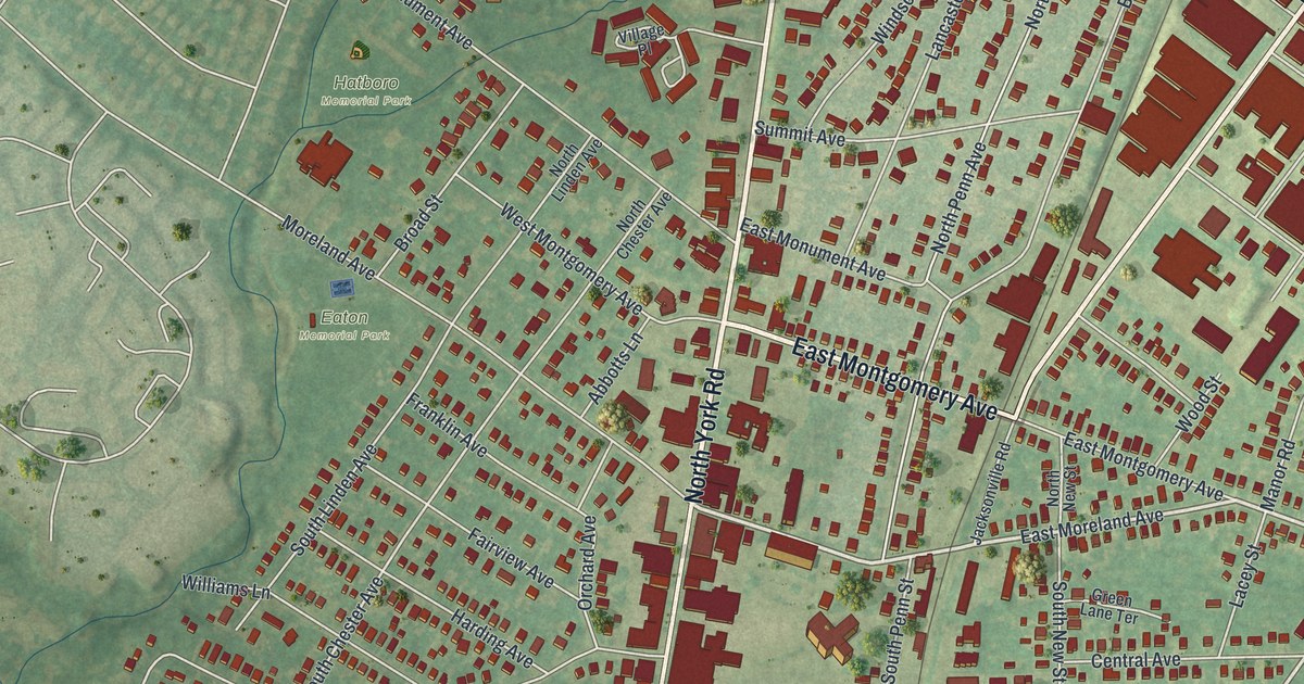
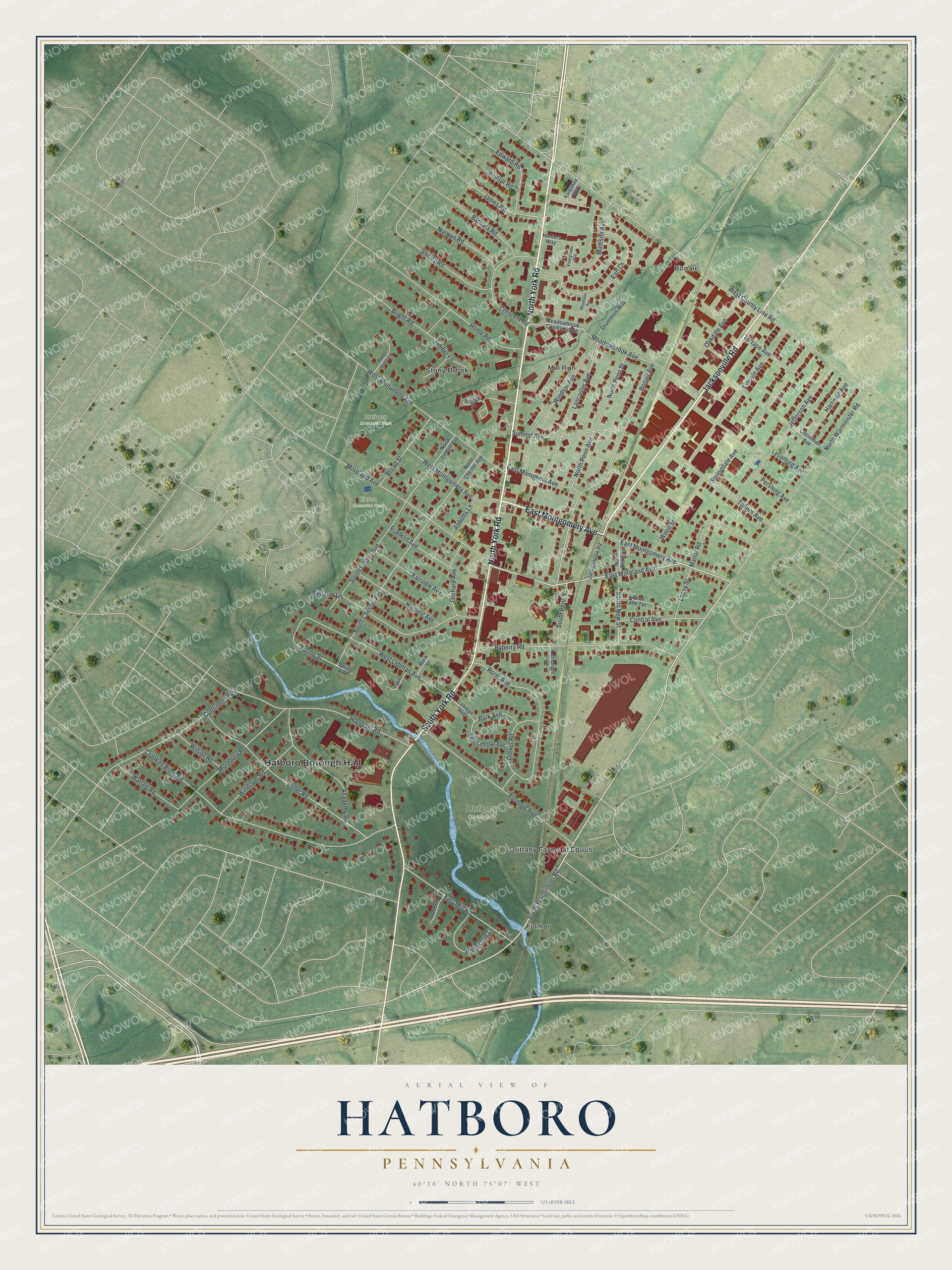
This beautifully detailed map of Hatboro, Pennsylvania was created in 2026 using aerial imagery combined with modern topographical, census, street and landmark data. It’s a one-of-a-kind view of Hatboro that combines accurate data with a vintage aesthetic. The map shows every building in its true location, many of the roads carry their names, and the shaded topographic relief shows the shape of the land.
Explore an aerial view of Hatboro, Pennsylvania
On the map you’ll find Hatboro Borough Hall, Hatboro Cemetery, Eaton Memorial Park, Hatboro Memorial Park, Tanner Park, Bonair, Brittany Farms at Equus, Fulmor, Mill Run, and Stony Brook, along with North York Road, Jacksonville Road, and more. If you look closely you can even find your house accurately drawn in its correct location. Zoom in on the preview to look for yours.
Did you know this piece of Hatboro, Pennsylvania history?
From the Pennsylvania Historical and Museum Commission: "Named for a tavern once standing nearby. Scene of Revolutionary War clash during British occupation of Philadelphia. Militia of Gen. John Lacey, assigned to cut off British supplies, encamped here on May 1, 1778, when, surprised by British troops, they were defeated and driven off with heavy losses."
Take a closer look at the Hatboro map
Street and place names on the Hatboro, Pennsylvania map
These names are printed on the map of Hatboro, Pennsylvania.
Places: Hatboro Borough Hall, Hatboro Cemetery, Eaton Memorial Park, Hatboro Memorial Park, Tanner Park, Bonair, Brittany Farms at Equus, Fulmor, Mill Run and Stony Brook.
Streets and roads: North York Road, Jacksonville Road, East Montgomery Avenue, South York Road, East Moreland Avenue, South Warminster Road, South Chester Avenue, Spring Street, West County Line Road, Crooked Billet Road, North Penn Avenue, North Penn Street.
More street names, A to Z
Abbotts Lane, Academy Road, Bank Street, Barbara Road, Belmar Road, Bonair Avenue, Bright Road, Broad Street, Byberry Road, Central Avenue, Chester Street, Continental Road, Corinthian Avenue, Crescent Road, Drexel Road, Drummers Way, Earl Lane, East Lehman Avenue, East Mill Road, East Monument Avenue, Edward Road, Evergreen Avenue, Fairview Avenue, Franklin Avenue, Fulmore Avenue, Green Lane Terrace, Harding Avenue, Harrison Avenue, Home Road, Horseshoe Lane, Horsham Road, Hunters Way, James Road, Jefferson Avenue, Lacey Street, Lamplight Lane, Lancaster Avenue, Lantern Lane, Lehman Avenue, Lincoln Avenue, Loller Road, Lycoming Avenue, Madison Avenue, Manor Road, Meadowbrook Avenue, Meadowbrook Condominium, Moreboro Road, Moreland Avenue, North Chester Avenue, North Linden Avenue, North New Street, North Warminster Road, Norwyn Road, Oakdale Avenue, Orchard Avenue, Park Avenue, Pershing Avenue, Pine Tree Lane, Rorer Avenue, Shirley Road, South Linden Avenue, South New Street, South Penn Street, Spring Avenue, Springdale Avenue, Summit Avenue, Tanner Avenue, Terrace Avenue, Timber Lane, Village Place, Warren Road, West Lehman Avenue, West Montgomery Avenue, West Monument Avenue, Williams Lane, Wilson Road, Windover Road, Windsor Avenue, Woodland Avenue, Wood Street, Yorkshire Way.
See the Hatboro, Pennsylvania map on a wall
The Hatboro map as an 18 x 24 inch print in a black frame.

This beautifully detailed map of Hatboro makes an attractive addition to your office, library, or den, and it can even be used to teach children the geography and history of the area. It also makes a great gift for anyone who grew up in Hatboro or moved away. When you’re done exploring, click here to get your copy of the Hatboro map.