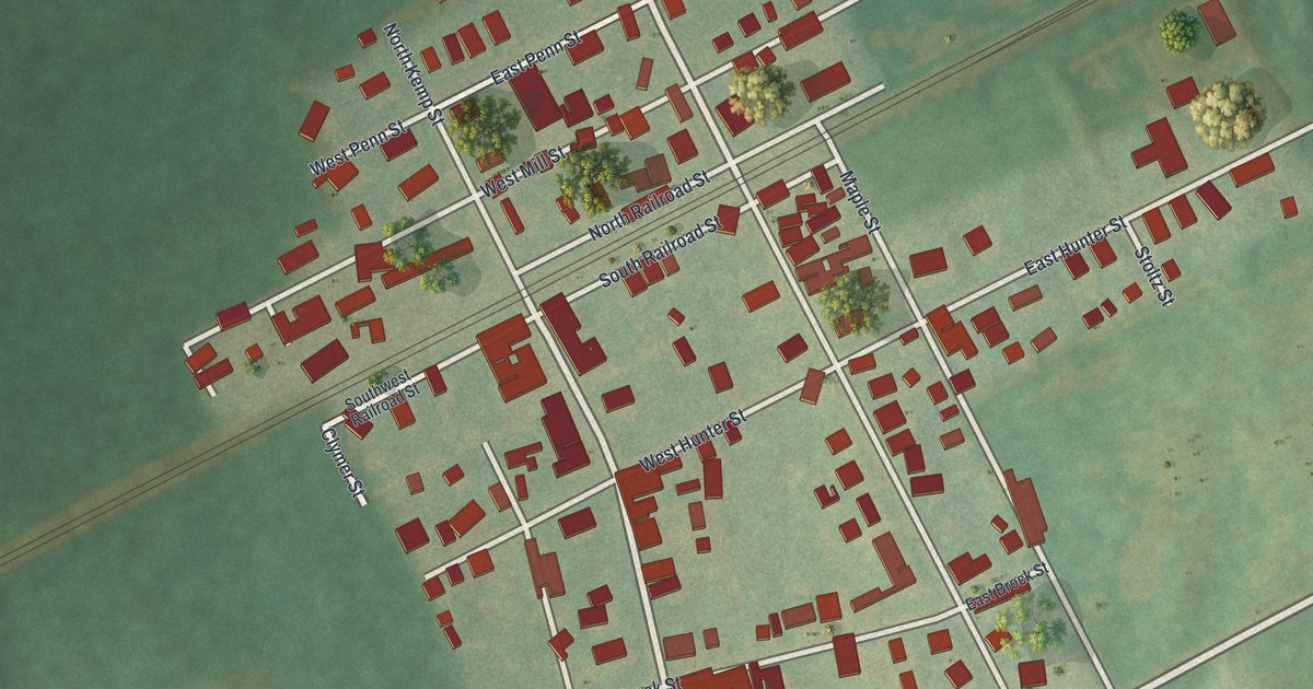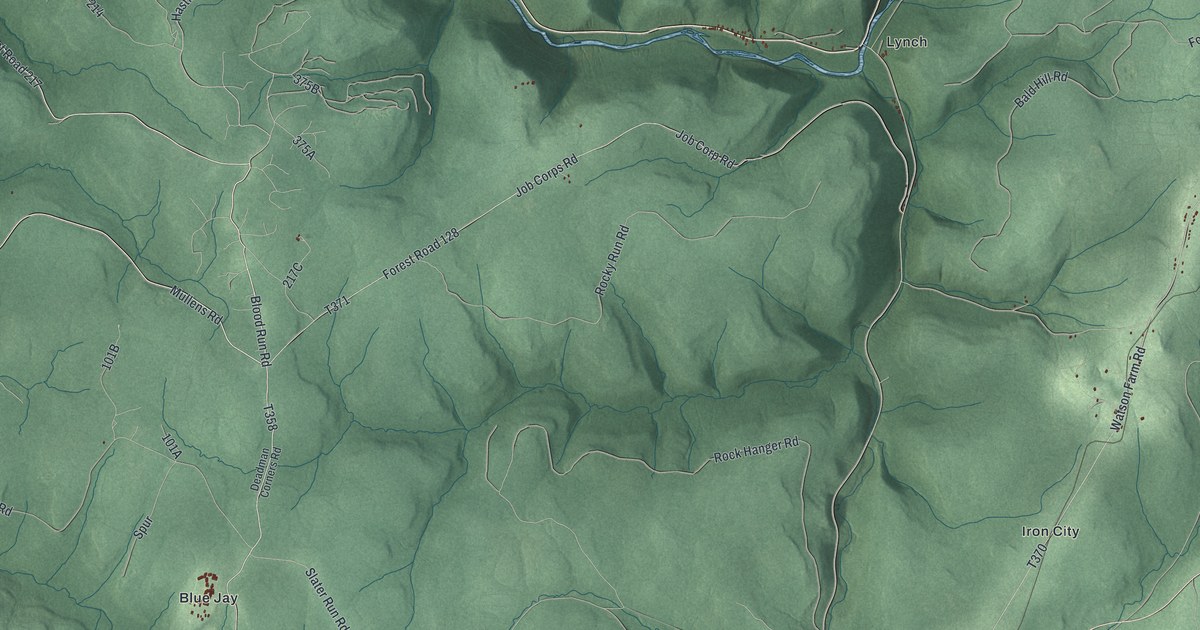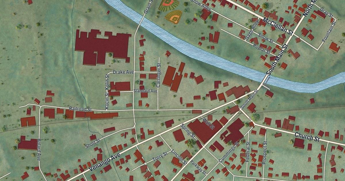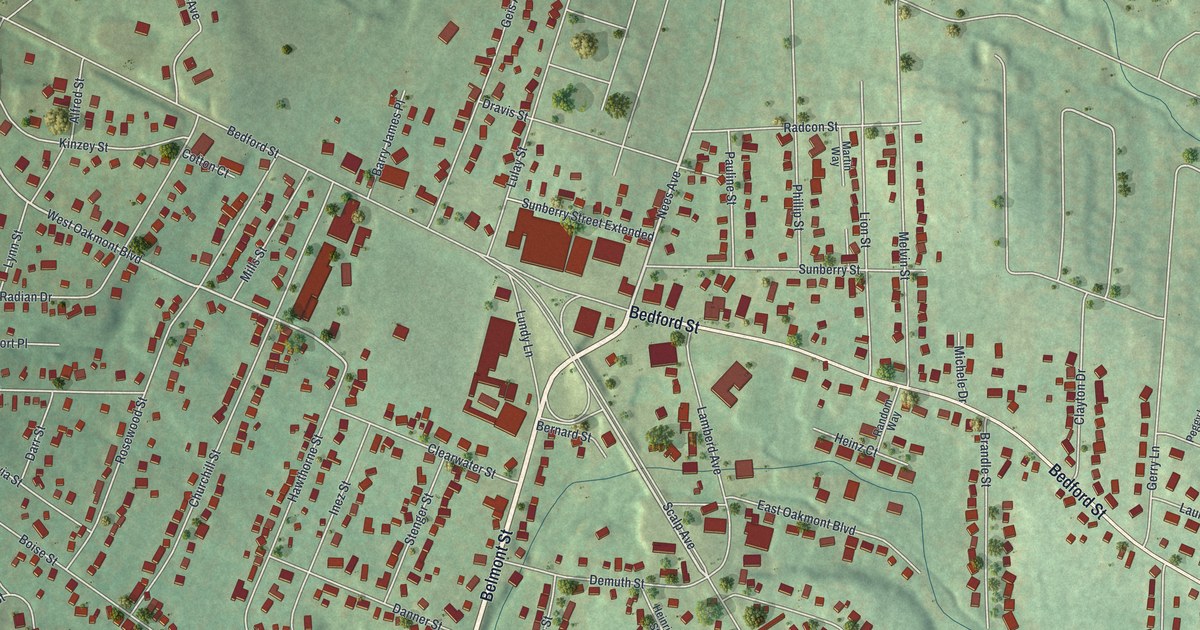
If you grew up on Bedford Street, Belmont Street or one of the side streets up the hill, this map was made with you in mind. It's a modern aerial view of Geistown in Cambria County, Pennsylvania, drawn from modern data and given a warm vintage feel. You'll see more than 3,000 small red buildings spread across soft green hills. Thin creeks wind through the low ground, and Saint Anthony Cemetery sits near the bottom of the sheet.
The Underground Railroad Story on Lamberd Avenue
On this map you'll find Bedford Street, Belmont Street, Scalp Avenue, Lamberd Avenue, Sunberry Street, Geis Avenue, East Oakmont Boulevard, West Oakmont Boulevard, Walters Avenue, Ohio Street, Bentwood Avenue, Leventry Road, Saint Anthony Cemetery, and more. Each red shape is a building, so zoom in on the preview and look for yours.
In February 1837, two brothers named Patrick and Abraham escaped from slavery on a farm in Bath, Virginia. Bounty hunters chased them, and both men were wounded. Black and white abolitionists helped them on their way through Pennsylvania. Here, they got help from William Slick. His farm was a regular stop on the Underground Railroad. The brothers were later taken into custody in Johnstown. Still, they got away, with no trial and no recapture. A state historical marker at 601 Lamberd Avenue tells their story today. Look for Lamberd Avenue near the middle of the map, close to Bedford Street.
Old Farms on the Bedford Road
Geistown's roots go back even further. The 1907 History of Cambria County tells of John Grosenickel, who came from Lancaster County. He settled on a farm near Geistown, on the Bedford road. The same book tells of an old house about three-fourths of a mile east of Geistown on that road. It says the house was a lodging place for many a weary traveler. The book also names Rachel's Hill, a rise a short way east of town on the Bedford road.
From Bedford Street to Saint Anthony Cemetery
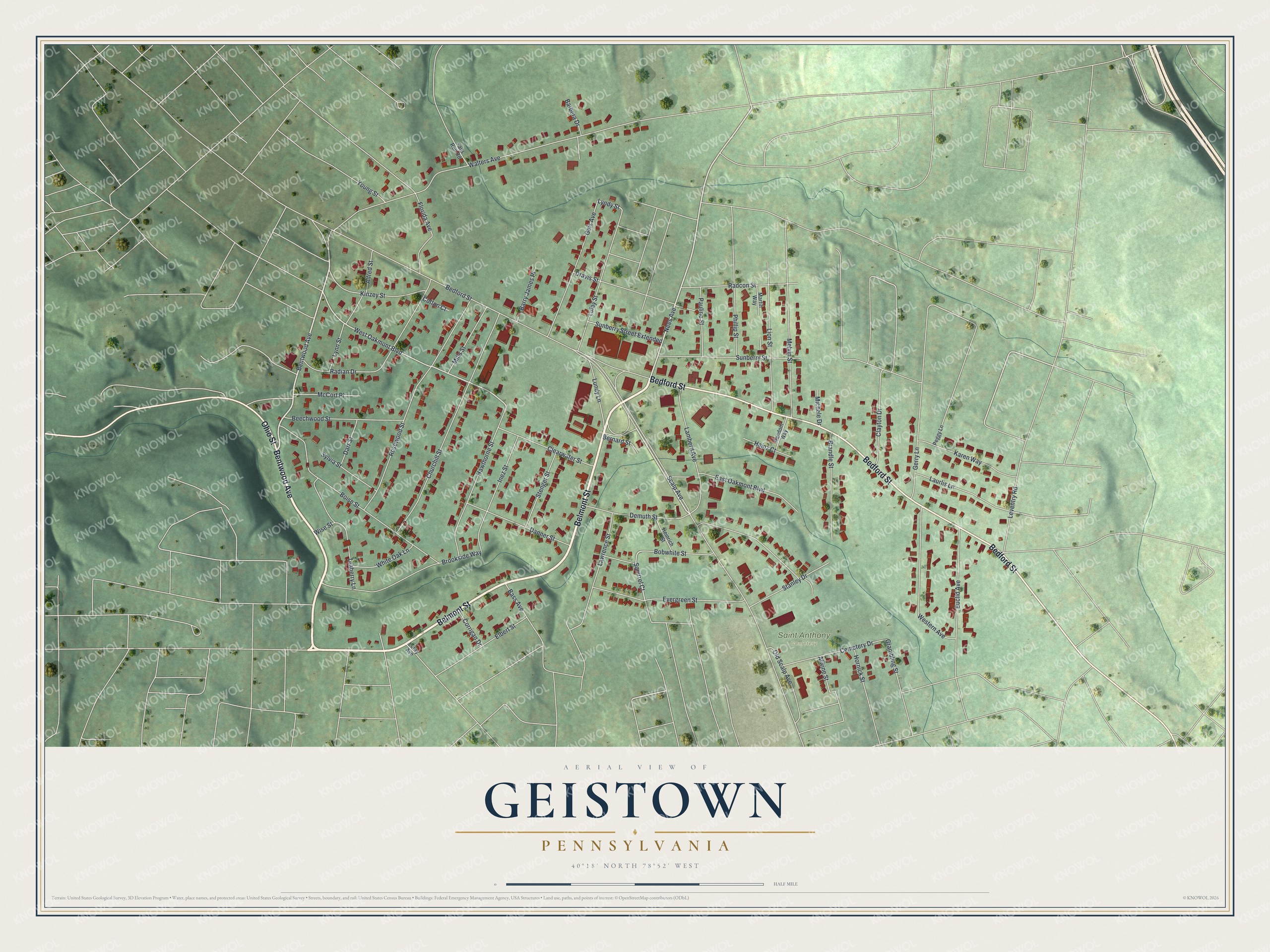
Created by KNOWOL in 2026, this print shows Geistown from above, with red buildings set on green, shaded hills and cream margins. The title panel reads "Aerial View of Geistown, Pennsylvania" with the coordinates 40°18' North 78°52' West.
It fits well in a living room, a front hall or a home office. It's a kind gift for anyone who grew up near Bedford Street, or for family who moved away and still call Geistown home. Open the preview and find your street. See sizes and frames for the Geistown map.