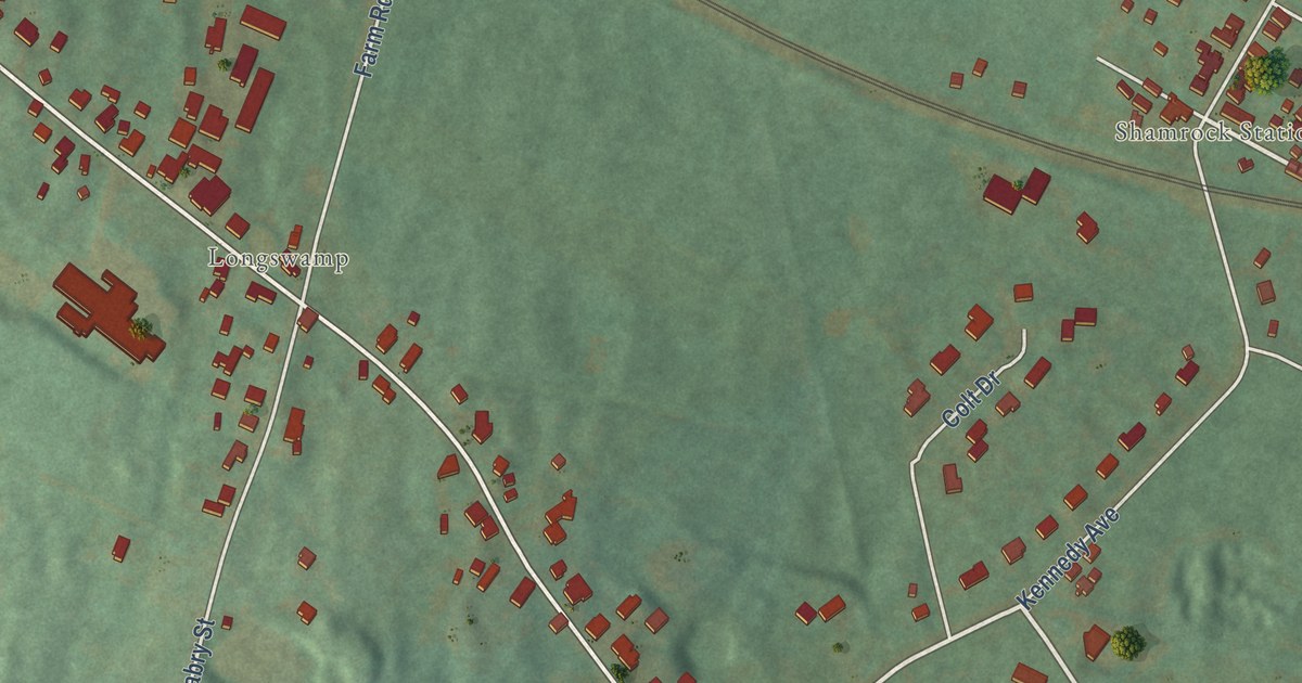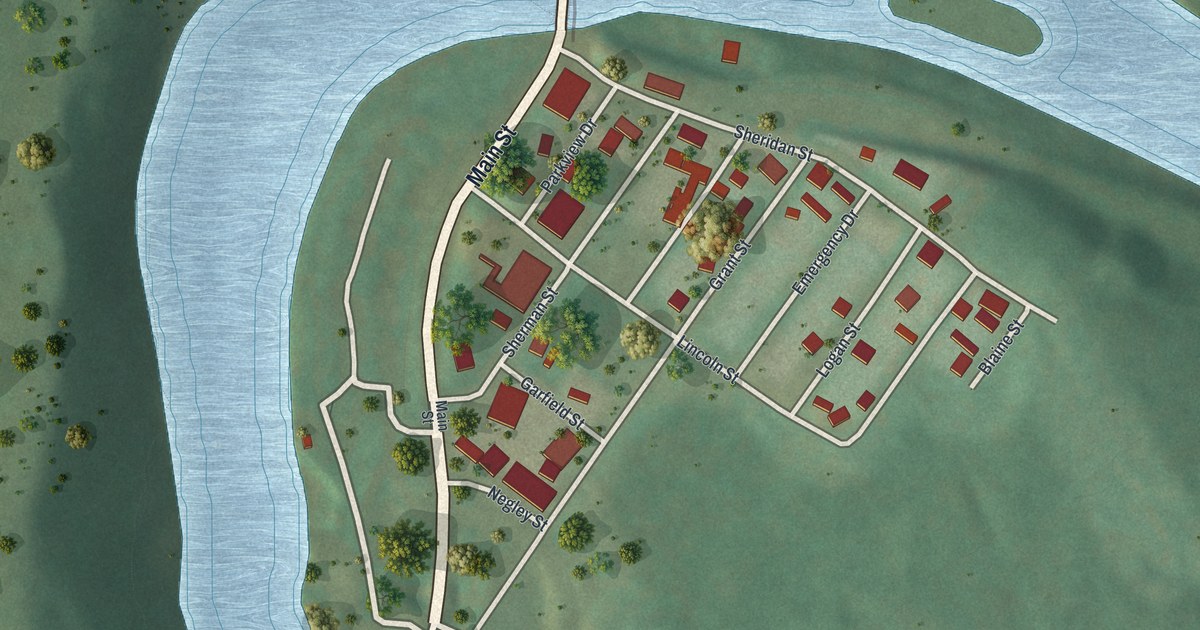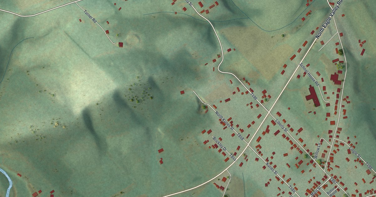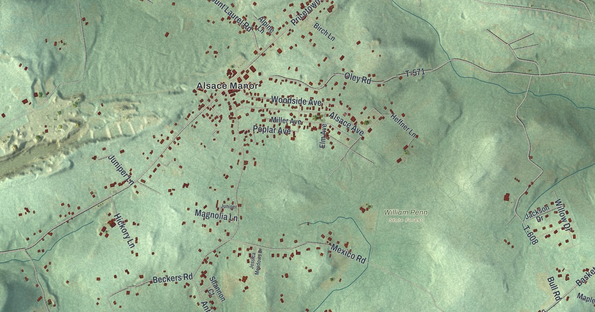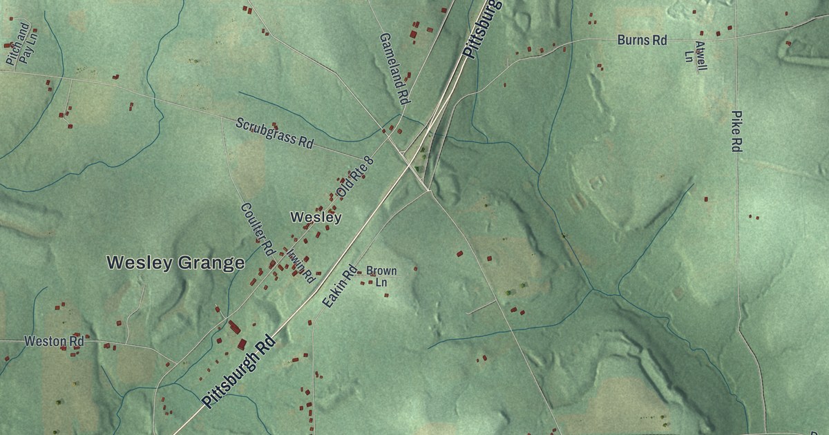
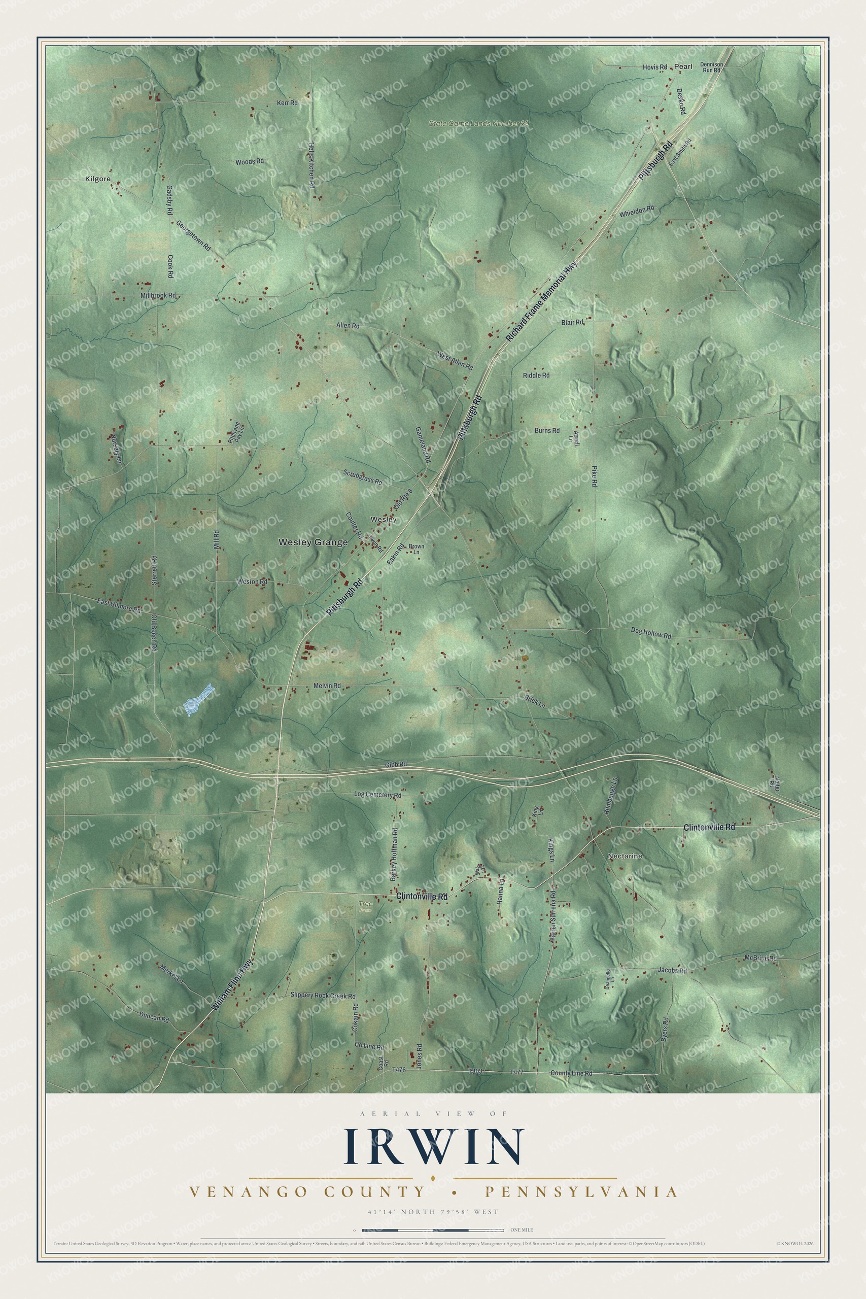
This beautifully detailed map of Irwin, Venango County, Pennsylvania was created in 2026 using aerial imagery combined with modern topographical, census, street and landmark data. It’s a one-of-a-kind view of Irwin that combines accurate data with a vintage aesthetic. The map shows every building in its true location, many of the roads carry their names, and the shaded topographic relief shows the shape of the land.
Explore an aerial view of Irwin, Venango County, Pennsylvania
On the map you’ll find Wesley Grange, Nectarine, State Game Lands Number 39, Tree Farm, Kilgore, Pearl, and Wesley, along with Pittsburgh Road, Richard Frame Memorial Highway, William Flinn Highway, Clintonville Road, Georgetown Road, and more. If you look closely you can even find your house accurately drawn in its correct location. Zoom in on the preview to look for yours.
Did you know this piece of Irwin, Venango County, Pennsylvania history?
From the 1890 History of Venango County, Pennsylvania: "October 6, 1800, the court of quarter sessions of Crawford county erected three townships from this same territory, of which Irwin received all that part south of French creek and west of the Allegheny river."
Take a closer look at the Irwin, Venango County map
Street and place names on the Irwin, Venango County, Pennsylvania map
These names are printed on the map of Irwin, Venango County, Pennsylvania.
Places: Wesley Grange, Nectarine, State Game Lands Number 39, Tree Farm, Kilgore, Pearl and Wesley.
Streets and roads: Pittsburgh Road, Richard Frame Memorial Highway, William Flinn Highway, Clintonville Road, Georgetown Road, County Line Road, Farren Surrena Road, Kings Lane, Old Beech Road, Old Route 8, McBride Road, East Gilmore Road.
More street names, A to Z
Allen Road, Atwell Lane, Barkey Hoffman Road, Blair Road, Brick Lane, Brown Lane, Burns Road, Byers Road, Coast Road, Cokain Road, Cook Road, Coulter Road, Deangello Lane, Dennison Run Road, Desko Road, Dog Hollow Road, Duncan Road, Eakin Road, East Smith Road, Gadsby Road, Gameland Road, Gibb Road, Hanna Lane, Hells Kitchen Road, Hovis Road, Irwin Road, Jacobs Road, Jones Road, Kerr Road, King Lane, Log Cemetery Road, Melvin Road, Merkel Lane, Millbrook Road, Mill Road, Nursery Lane, Pike Road, Pitch and Pay Lane, Riddle Road, Rumbaugh Lane, Scrubgrass Road, Slippery Rock Creek Road, Sterrett Road, Walter Lane, Walter Road, West Allen Road, Weston Road, Whieldon Road, Woods Road.
See the Irwin, Venango County, Pennsylvania map on a wall
The Irwin, Venango County map as an 18 x 24 inch print in a black frame.

This beautifully detailed map of Irwin, Venango County makes an attractive addition to your office, library, or den, and it can even be used to teach children the geography and history of the area. It also makes a great gift for anyone who grew up in Irwin or moved away. When you’re done exploring, click here to get your copy of the Irwin, Venango County map.