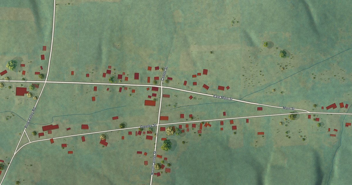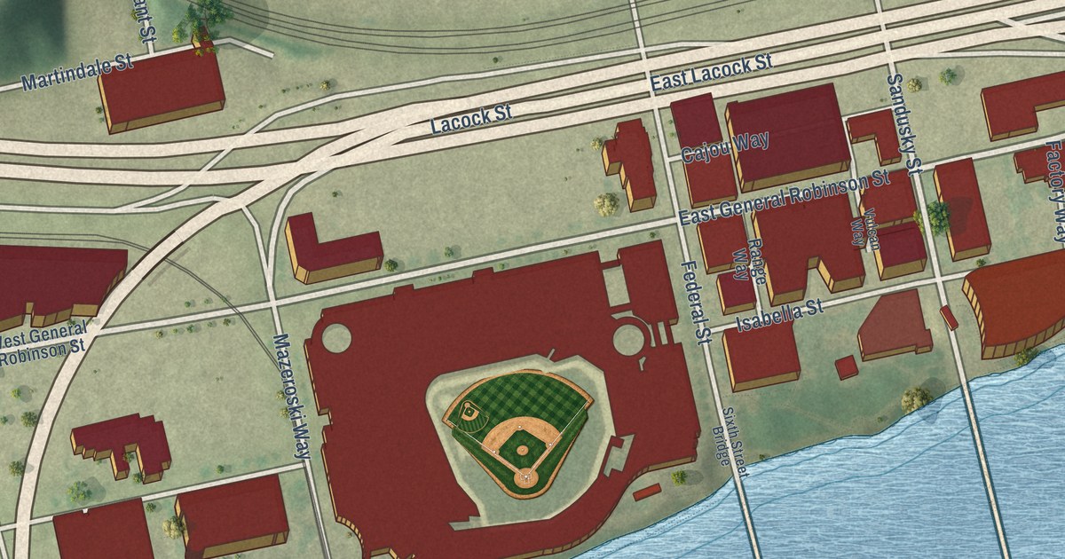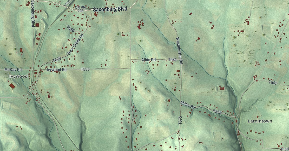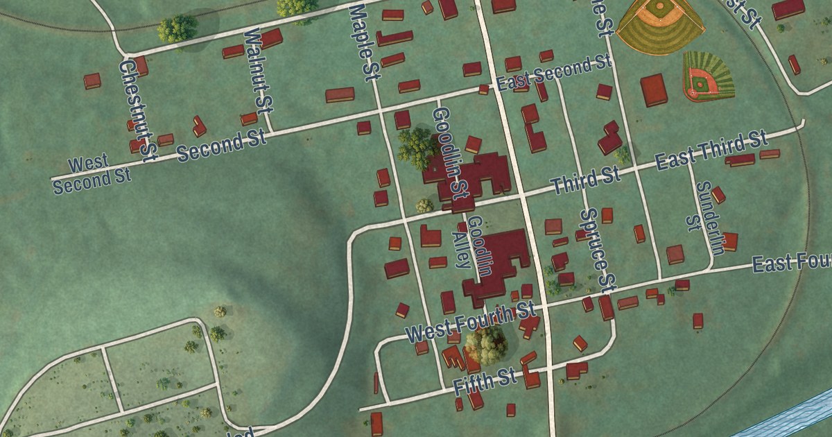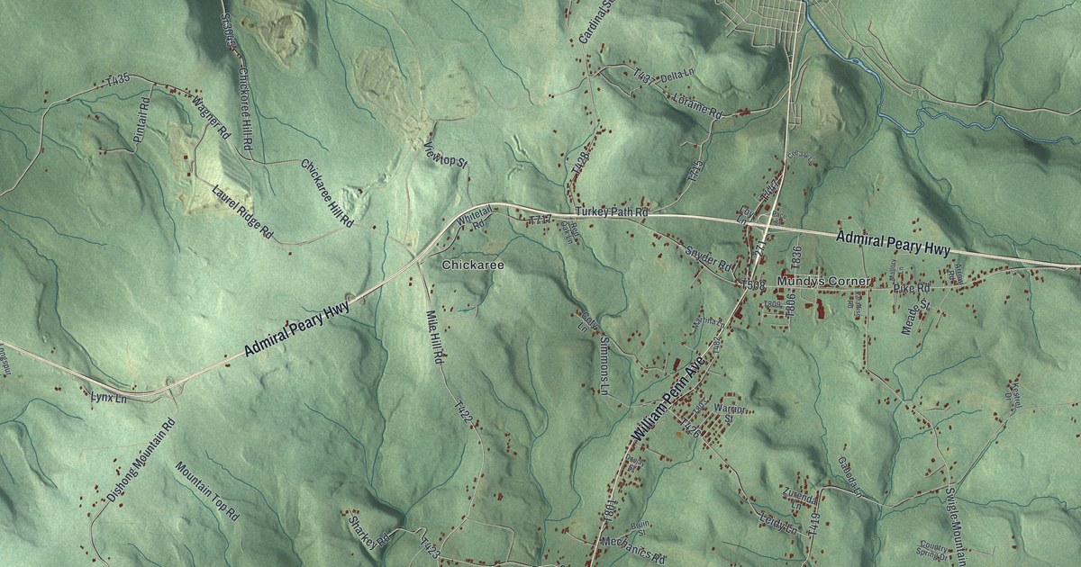
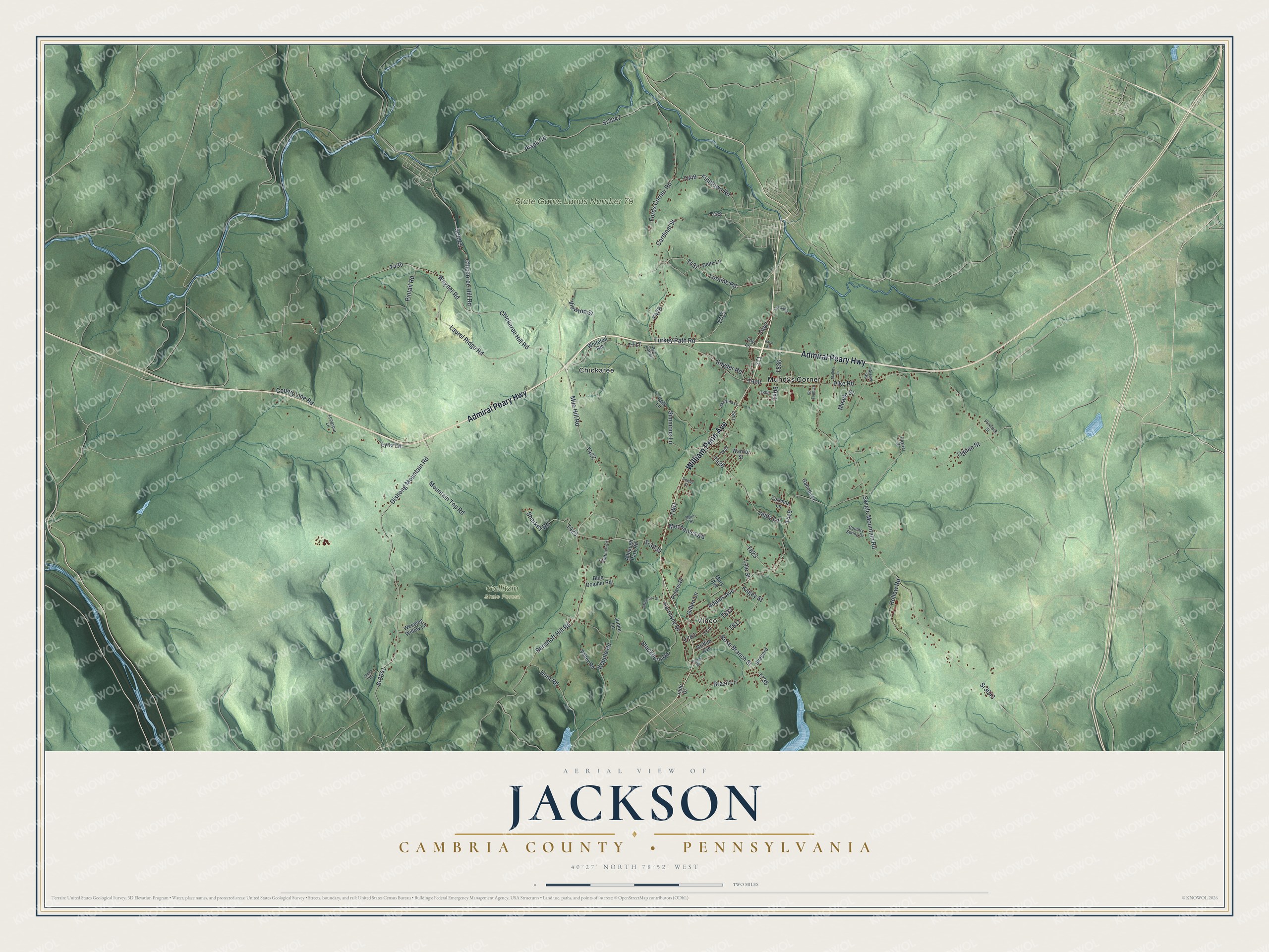
This beautifully detailed map of Jackson, Cambria County, Pennsylvania was created in 2026 using aerial imagery combined with modern topographical, census, street and landmark data. It’s a one-of-a-kind view of Jackson that combines accurate data with a vintage aesthetic. The map shows every building in its true location, many of the roads carry their names, and the shaded topographic relief shows the shape of the land.
Explore an aerial view of Jackson, Cambria County, Pennsylvania
On the map you’ll find Gallitzin State Forest, State Game Lands Number 79, Chickaree, Mundys Corner, and Vinco, along with William Penn Avenue, Admiral Peary Highway, Chickoree Hill Road, Plank Road, Lynx Lane, Chickaree Hill Road, and more. If you look closely you can even find your house accurately drawn in its correct location. Zoom in on the preview to look for yours.
Did you know this piece of Jackson, Cambria County, Pennsylvania history?
Jackson Township was organized on January 3, 1828, from parts of Cambria and Summerhill townships. It was named for Andrew Jackson, who won the presidency that year. The Galbraith Road, opened around 1790, crossed the township. Old-timers called it the Washington Road, and stories tell of droves of turkeys, hogs and cattle herded along it. That’s from Jackson Township.
Take a closer look at the Jackson, Cambria County map
Street and place names on the Jackson, Cambria County, Pennsylvania map
These names are printed on the map of Jackson, Cambria County, Pennsylvania.
Places: Gallitzin State Forest, State Game Lands Number 79, Chickaree, Mundys Corner and Vinco.
Streets and roads: William Penn Avenue, Admiral Peary Highway, Chickoree Hill Road, Sr3045, Plank Road, Lynx Lane, Chickaree Hill Road, Wagner Road, Mile Hill Road, Rose Branch Street, Dishong Mountain Road, Adams Avenue.
More street names, A to Z
Allbaugh Park Road, Arrow Road, Benshoff Hill Road, Blackburn Road, Blue Dolphin Road, Brazil Lane, Bruin Street, Cardinal Street, Cee Jay Lane, Chime Road, Coty Lane, Country Spring Drive, County Line Road, Delta Lane, Donjay Street, Finntown Road, Fords Corner Road, Gaboda Lane, Gillen Lane, Goldfinch Lane, Griffith Avenue, Harmony Drive, Hollow Road, Hunt Road, Jude Drive, Junior Lane, Kagey Street, Kepple Road, Kestrel Drive, Laurel Ridge Road, Leidy Lane, Longspur Lane, Loraine Road, Loy Lane, Lyle Street, Mallory Lane, Martina Lane, Mary Avenue, Meade Street, Mechanics Road, Mountain Top Road, Ogden Street, Pace Street, Paradise Road, Pike Road, Pinelock Street, Pintail Road, Polaris Drive, Ranch Road, Red Oak Lane, Shamrock Street, Sharkey Road, Shepard, Simmons Lane, Snyder Road, Sr3039, Sr3041, Sr3043, Sr3047, Swigle Mountain Road, Turkey Path Road, Valley Road, Viewtop Street, Warrior Street, Weeping Willow Lane, Whitetail Road, Zurenda Lane.
See the Jackson, Cambria County, Pennsylvania map on a wall
The Jackson, Cambria County map as an 18 x 24 inch print in a black frame.

This beautifully detailed map of Jackson, Cambria County makes an attractive addition to your office, library, or den, and it can even be used to teach children the geography and history of the area. It also makes a great gift for someone who left Jackson and still calls it home. When you’re done exploring, click here to get your copy of the Jackson, Cambria County map.