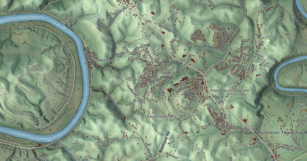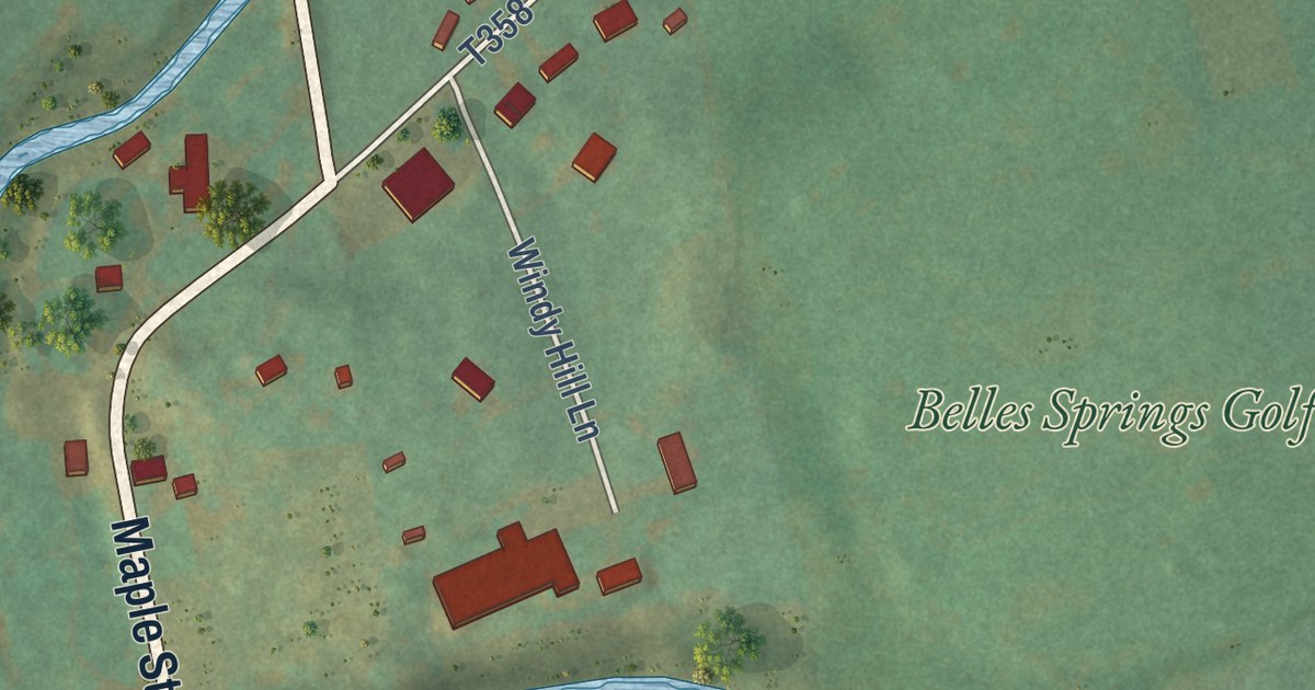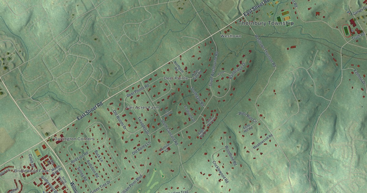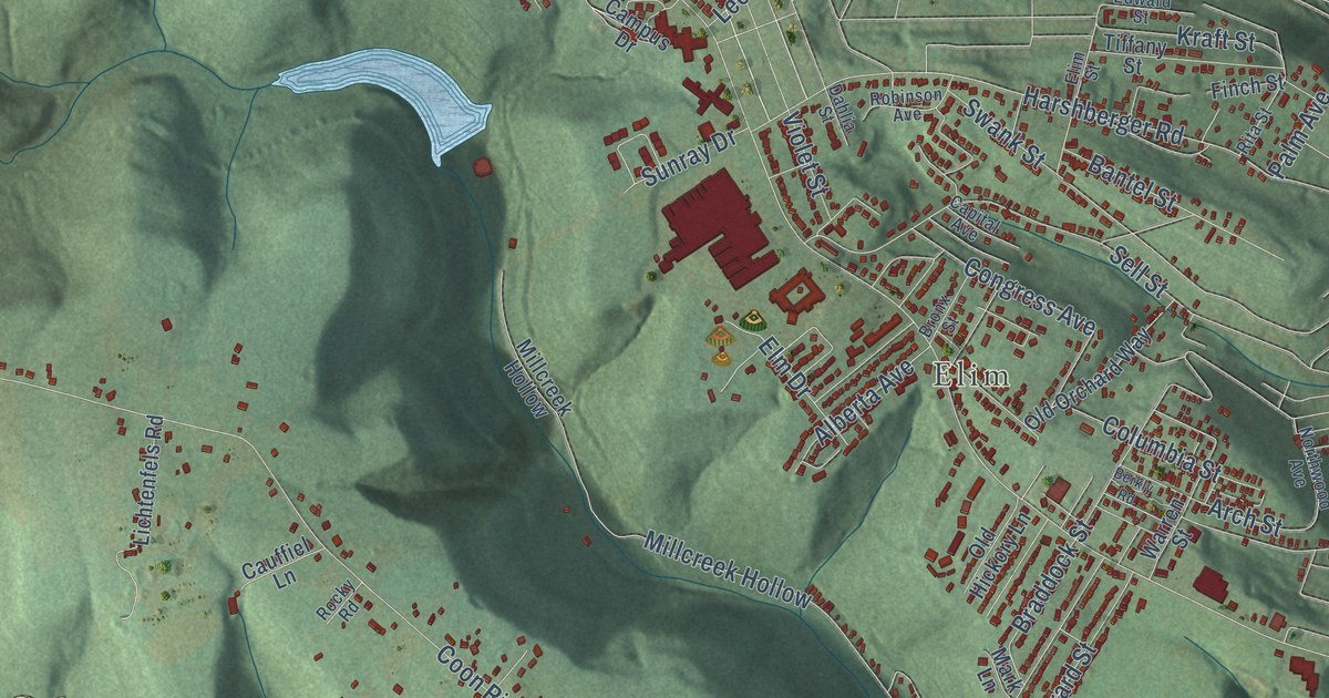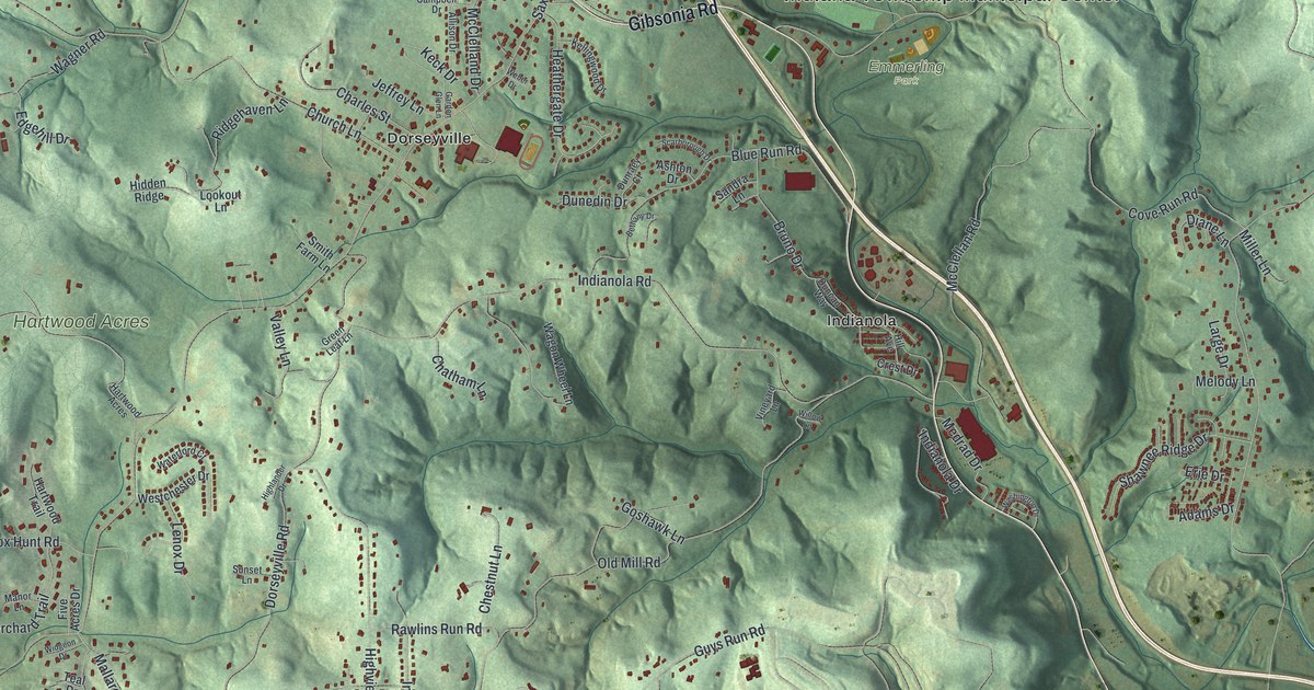
This beautifully detailed map of Indiana, Allegheny County, Pennsylvania was created in 2026 using aerial imagery combined with modern topographical, census, street and landmark data. It’s a one-of-a-kind view of Indiana that combines accurate data with a vintage aesthetic. The map shows every building in its true location, many of the roads carry their names, and the shaded topographic relief shows the shape of the land.
Explore an aerial view of Indiana, Allegheny County, Pennsylvania
On the map you’ll find Indiana Township Municipal Center, Walter Chapel, Rural Ridge, Emmerling Park, Hartwood Acres, Red Gables Farm, Dorseyville, and Indianola, along with Gibsonia Road, Saxonburg Boulevard, North Rose Drive, Francioni Hill Lane, and more. If you look closely you can even find your house accurately drawn in its correct location. Zoom in on the preview to look for yours.
Did you know this piece of Indiana, Allegheny County, Pennsylvania history?
From the 1889 History of Allegheny County, Pennsylvania: "Peter Wolf, several by the name of Staley, Bliss and many others were squatters along the river."
Take a closer look at the Indiana, Allegheny County map
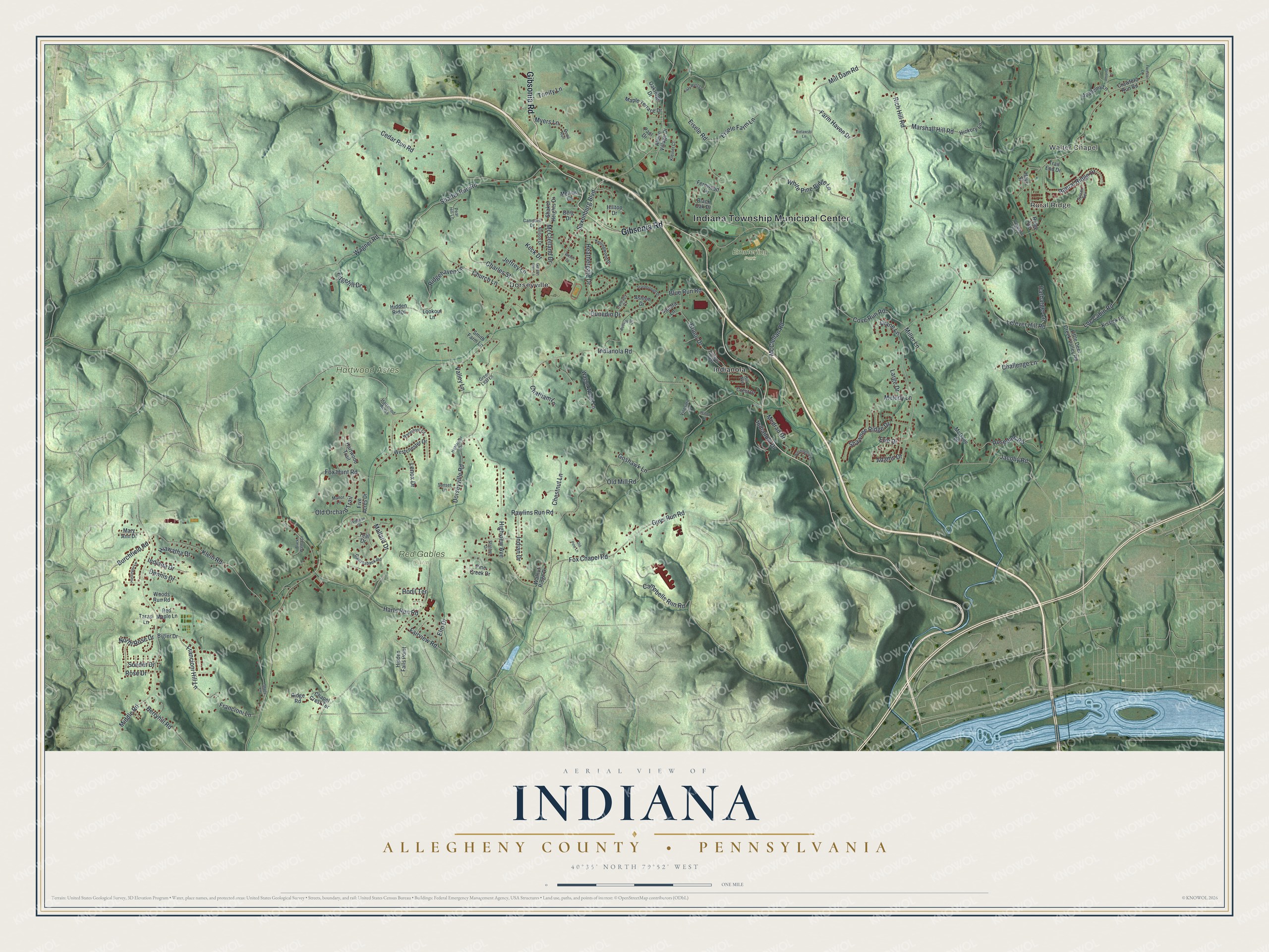
Street and place names on the Indiana, Allegheny County, Pennsylvania map
These names are printed on the map of Indiana, Allegheny County, Pennsylvania.
Places: Indiana Township Municipal Center, Walter Chapel, Rural Ridge, Emmerling Park, Hartwood Acres, Red Gables Farm, Dorseyville and Indianola.
Streets and roads: Gibsonia Road, Saxonburg Boulevard, North Rose Drive, Francioni Hill Lane, Rich Hill Road, Indianola Road, Dorseyville Road, Cove Run Road, Cedar Run Road, Old Mill Road, Church Lane, Mill Dam Road.
More street names, A to Z
Academy Lane, Adams Drive, Allison Drive, Alpine Village Drive, Ashton Drive, Berg Drive, Berryhill Road, Bethany Drive, Bielawski Lane, Bigler Drive, Black Oak Drive, Black Walnut Lane, Blue Run Road, Bruno Drive, Burchfield Road, Campbell Drive, Campbells Run Road, Canvasback Road, Challenge Lane, Chapel Crest Terrace, Charles Street, Chatham Lane, Chestnut Lane, Crawford Run Road, Crest Drive, Dennis Drive, Diane Lane, Duncan Way, Dunedin Drive, Dunraey Court, Duquesne Light Lane, Edgehill Drive, Eisele Farm Lane, Eisele Road, Elm Drive, Erie Drive, Fairview Road, Farm Haven Drive, Fernwood Lane, Five Acres Drive, Forester Lane, Fox Chapel Road, Fox Hunt Road, Francioni Lane, Garden Glen Lane, Goshawk Lane, Green Leaf Lane, Guys Run Road, Harbarger Lane, Harts Run Road, Hartwood Trail, Hassinger Lane, Hays Street, Heathergate Drive, Hiawatha Drive, Hickory Lane, Hidden Falls Point, Hidden Ridge, Highlander Drive, Highview Avenue, Hill Avenue, Hilltop Drive, Hodil Terrace, Indiana Drive, Indian Drive, Indianola Drive, Jacoby Road, Jeffrey Lane, Jerome Lane, Keck Drive, Kellingwood Drive, Kissick Lane, Kleiner Court, Klein Road, Large Drive, Lazy West Lane, Lefever Hill Road, Lenox Drive, Little Deer Creek Valley Road, Log Cabin Road, Lookout Lane, Mallard Drive, Manor Lane, Maple Terrace Drive, Marshall Hill Road, Mary Ann Drive, McClelland Drive, McClellan Road, McDade Lane, Medrad Drive, Mellow Lane, Melody Lane, Middle Road, Miller Lane, Myers Lane, Oakridge Drive, Old Orchard Trail, Old Pine Lane, Paul Drive, Pear Hill Lane, Pine Creek Drive, Quail Run, Raural Ridge Drive, Rawlins Run Road, Red Maple Lane, Ridge Avenue, Ridgehaven Lane, Ridge Road, Rosedale Road, Rose Drive, Sandra Lane, Scarborough Drive, Shady Lane, Shaffer Run Road, Shaker Heights Drive, Shawnee Ridge Drive, Smith Farm Lane, Soeder Drive, Strohm Drive, Sunset Lane, Sylvan Terrace, Tarasi Lane, Teal Drive, Trail End Drive, Trinity Lane, Valley Lane, Vineyard Lane, Wagner Road, Wagon Wheel Lane, Walnut Ridge Drive, Washington Drive, Waterford Court, Weber Drive, Westchester Drive, White Pine Ridge Lane, Widgeon Drive, Willow Lane, Woods Run Road.
See the Indiana, Allegheny County, Pennsylvania map on a wall
The Indiana, Allegheny County map as an 18 x 24 inch print in a black frame.

This beautifully detailed map of Indiana, Allegheny County makes an attractive addition to your office, library, or den, and it can even be used to teach children the geography and history of the area. It also makes a great gift for anyone who grew up in Indiana or moved away. When you’re done exploring, click here to get your copy of the Indiana, Allegheny County map.