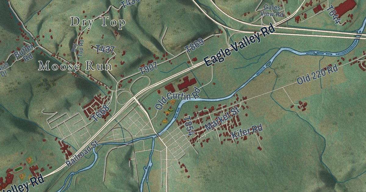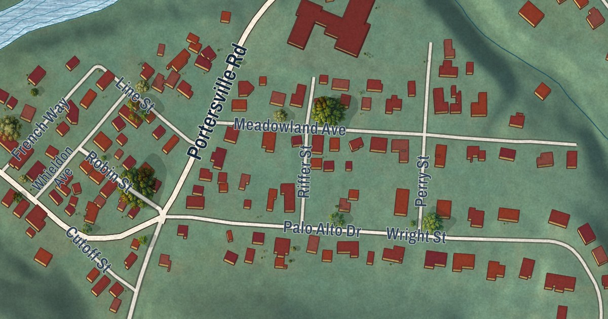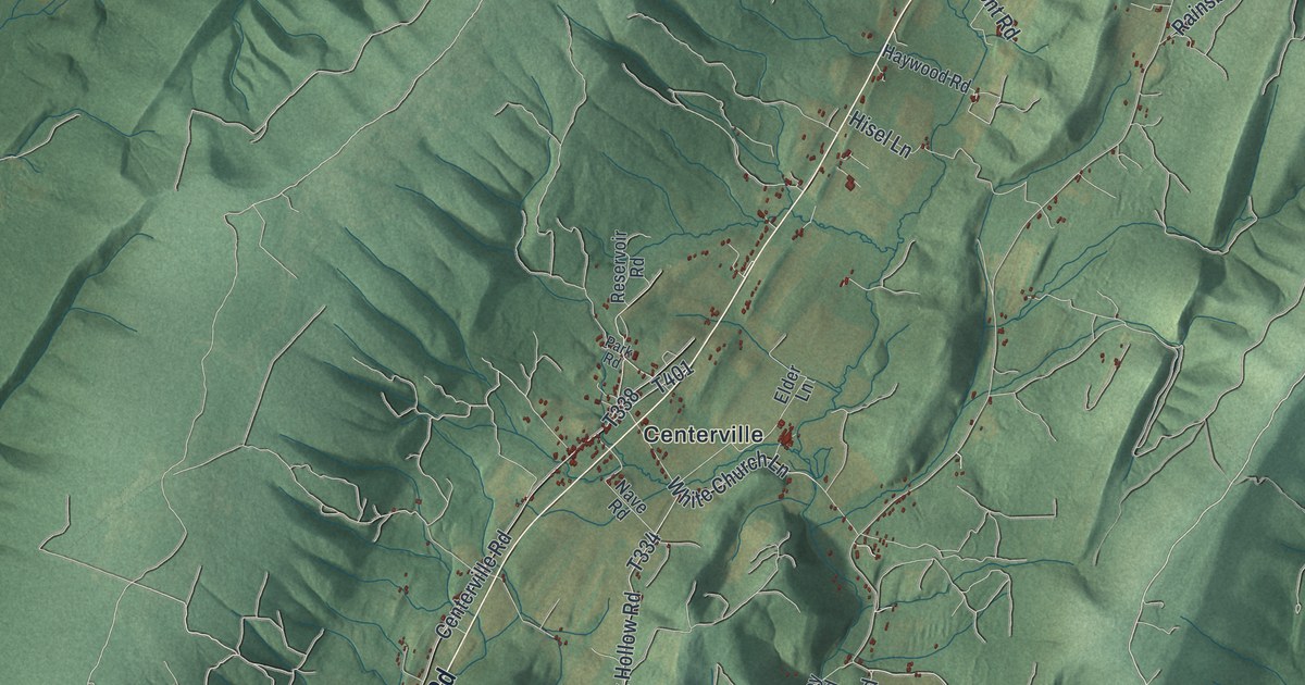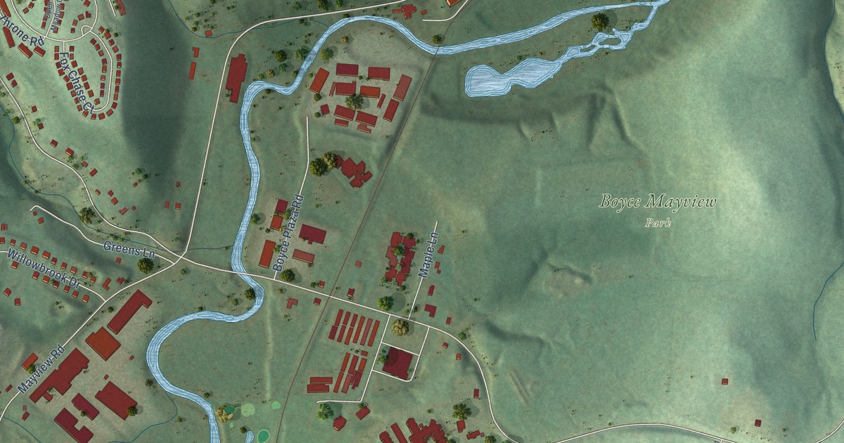
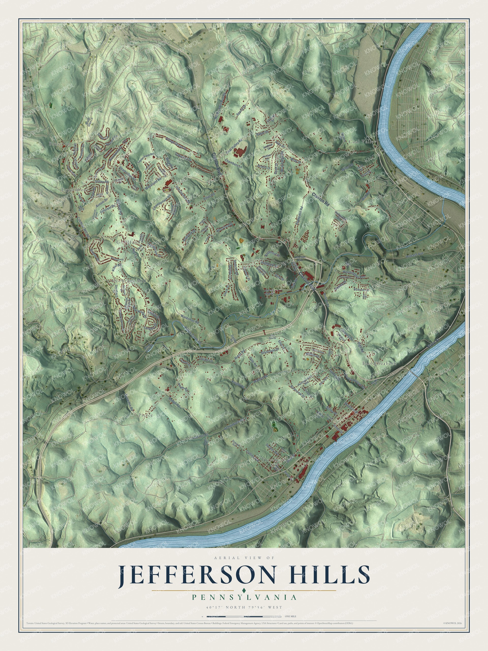
This beautifully detailed map of Jefferson Hills, Pennsylvania was created in 2026 using aerial imagery combined with modern topographical, census, street and landmark data. It’s a one-of-a-kind view of Jefferson Hills that combines accurate data with a vintage aesthetic. The map shows every building in its true location, many of the roads carry their names, and the shaded topographic relief shows the shape of the land.
Explore an aerial view of Jefferson Hills, Pennsylvania
On the map you’ll find Bruceton, Coal Valley, Cochrans Mill, East Elizabeth, Experiment, Floreffe, Gill Hall, and Pierce, along with Clairton Boulevard, Clairton Road, State Street, Gill Hall Road, and more. If you look closely you can even find your house accurately drawn in its correct location. Zoom in on the preview to look for yours.
Did you know this piece of Jefferson Hills, Pennsylvania history?
From the Pennsylvania Historical and Museum Commission: "Governmental and judicial center for Yohogania, a county erected by Virginia in asserting its claim to western Pennsylvania from 1777 to 1780. The site is on the hilltop opposite."
Take a closer look at the Jefferson Hills map
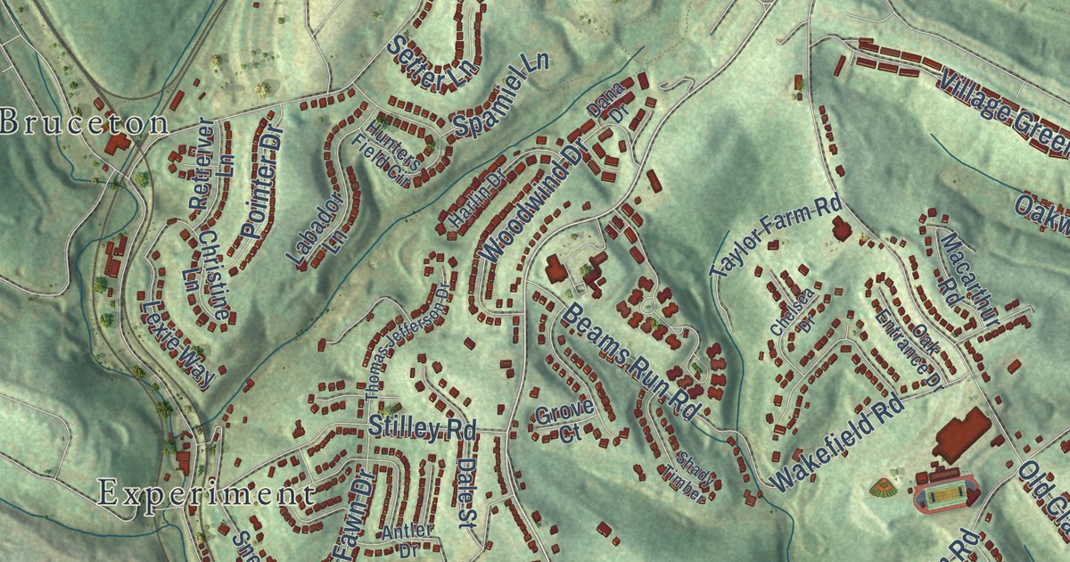
Street and place names on the Jefferson Hills, Pennsylvania map
These names are printed on the map of Jefferson Hills, Pennsylvania.
Places: East Elizabeth, Pierce, Coal Valley, Bruceton, Cochrans Mill, Floreffe, Experiment and Gill Hall.
Streets and roads: State Street, Clairton Boulevard, Clairton Road, Gill Hall Road, Oak Road, Peters Creek Road, Coal Valley Road, Old Clairton Road, Ridge Road, Waterman Road, Walton Road, Cochran Mill Road.
More street names, A to Z
Aber Drive, Acorn Lane, Alice Avenue, Alta Vista Drive, Andrew Drive, Antler Drive, Arch Street, Arnoni Drive, Baker Drive, Beams Run Road, Bedell Road, Bedel Road, Bickerton Drive, Bittner Lane, Blackwood Pointe, Border Street, Brush Glen Lane, Butternut Street, Cassia Drive, Castor Lane, Century Drive, Chamberlain Road, Chambers Lane, Check Drive, Chelsea Drive, Christine Lane, Circle Glen Drive, Collins Avenue, Council Place, Dale Road, Dale Street, Dana Drive, Decker Avenue, Dickson Avenue, Elliot Road, Farm Lane, Fawn Drive, First Street, Fort Boro Road, Frontier Drive, Ganley Road, Gillcrest Drive, Gilmore Drive, Greene Drive, Grove Court, Guthrie Drive, Harlin Drive, Heath Road, High Road, Hollywood Drive, Hunters Field Circle, Independence Drive, Jefferson Boulevard, Jefferson Ridge Drive, Jones Street, Kathleen Drive, Klein Road, Knight Road, Labador Lane, Laurel Ridge Drive, Lewis Run Road, Lexie Way, Lloyd's Lane, Lobbs Run Road, Loyal Drive, Macarthur Road, Madison Street, Maple Street, Marion Avenue, McGrew Road, Miller Road, Neilson Drive, New World Drive, Ney Lane, North Lewis Run Road, Oak Entrance Drive, Oak Street, Oakwood Drive, Ohio Avenue, Oneida Drive, Payne Hill Road, Pearson Road, Pennsylvania Avenue, Phillip Drive, Piney Fork Road, Pleasant View Court, Pointer Drive, Randolph Drive South, Redcliff Drive, Reed Drive, Regency Drive, Regina Drive, Retreiver Lane, Riverview Drive, Scenic Court, Scheinbach Road, School Street, Scotia Hollow Road, Setter Lane, Shady Timber, Shellbark Street, Siler Drive, Silverdale Drive, Snee Drive, Snowden Road, Spamiel Lane, Spartz Drive, Station Street, Steinbach Lane, Stettler Drive, Stevens Ridge Drive, Stilley Road, Stilley Street, Tangelo Drive, Taylor Farm Road, Third Street, Thomas Jefferson Drive, Timber Lane, Valleyview Drive, Village Green Drive, Vine Street, Wabash Avenue, Wakefield Road, Wall Road, Walnut Street, Walters Road, Washington Drive, Whitfield Road, Willem Drive, Woodwind Drive, Worthington Avenue, Wray Drive, Wray Large Road.
See the Jefferson Hills, Pennsylvania map on a wall
The Jefferson Hills map as an 18 x 24 inch print in a black frame.

This beautifully detailed map of Jefferson Hills makes an attractive addition to your office, library, or den, and it can even be used to teach children the geography and history of the area. It also makes a great gift for anyone with Jefferson Hills roots. When you’re done exploring, click here to get your copy of the Jefferson Hills map.