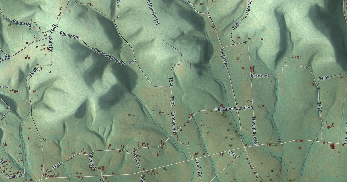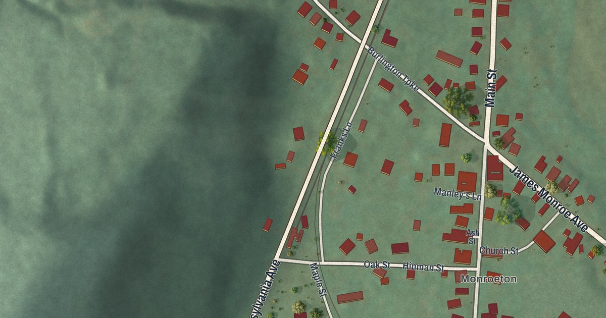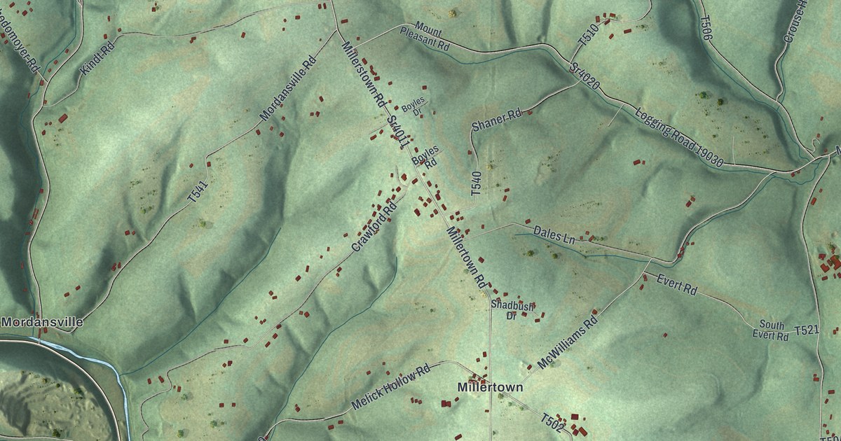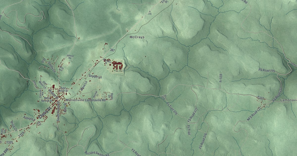
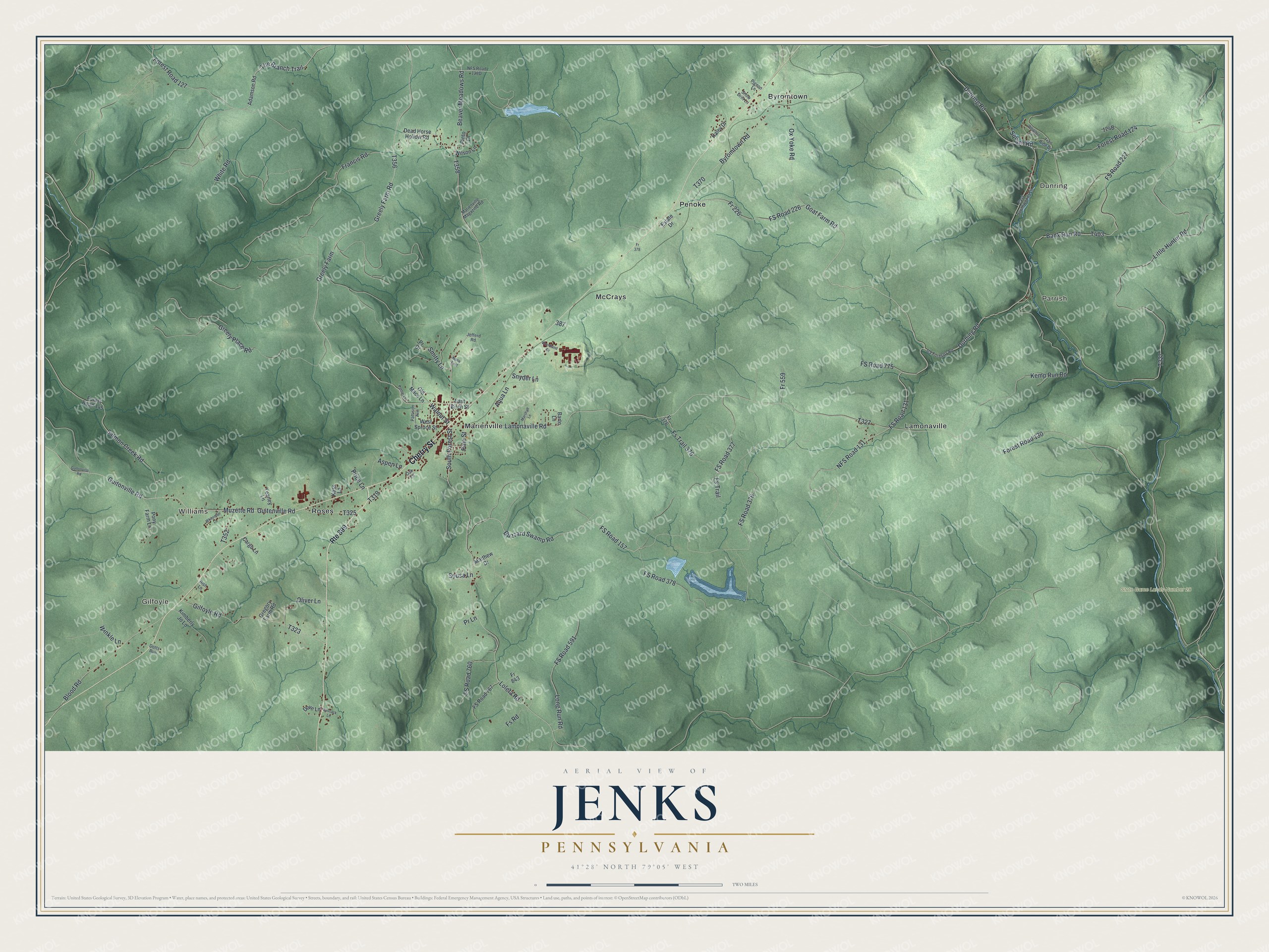
This beautifully detailed map of Jenks, Pennsylvania was created in 2026 using aerial imagery combined with modern topographical, census, street and landmark data. It's a modern aerial view of Jenks in Forest County, Pennsylvania, that combines modern data with a vintage aesthetic. The roads feature printed names, and if you look closely you can find your exact house accurately shown in its correct location.
Explore an aerial view of Jenks, Pennsylvania
On this map you'll find Gilfoyle, Dunring, Williams, Parrish, State Game Lands Number 28, Byromtown, Lamonaville, Marienville, McCrays, Penoke, Roses, Cherry Street, and more. Each red shape is a building, so zoom in on the preview and look for yours.
Every town has a first chapter, and Jenks is no exception. The Pennsylvania Historical and Museum Commission puts it this way: "The name of this town recalls the now-extinct passenger pigeon, which in vast flights nested in the beech groves of this area. The nestlings were taken as food each spring by the Seneca Indians."
Jenks is a place in Forest County. The Census Bureau counted 3,858 people here in 2020.
Take a closer look at the Jenks map
Names on this map
These names are printed on this map.
Places: Gilfoyle, Dunring, Williams, Parrish, State Game Lands Number 28, Byromtown, Lamonaville, Marienville, McCrays, Penoke and Roses.
Streets and roads: Cherry Street, FS Road 131, Walnut Street, South Forest Street, Durhing Road, Goat Farm Road, Duhring Road, Greely Farm Road, NFS Road 131, Forest Road 130, Loleta Road, The Branch Trail.
More street names, A to Z
Adamson Road, Aqua Lane, Aspen Lane, Bank Run Road, Barto Lane, Beaver Meadows Road, Bish Lane, Blood Road, Buzzard Swamp Road, Byromtown Road, Cargo Lane, Dead Horse Hollow Road, Dotts Run, Dove Lane, East Birch Street, East Southwoods Lane, Estate Drive, Forest Road 124, Forest Road 127, Forest Road 145, Fr 226, Fr 376, Fr 378, Fr 559, Fr 843, Francis Road, Fs Road, FS Road 157, FS Road 226, FS Road 227, FS Road 376, FS Road 377, FS Road 378, FS Road 591, FS Road 760, FS Road 767, FS Road 775, Fs Trail, Fs Trail 376, Gilfoyle Road, Greely Farm, Greely Place Road, Gregory Farm Road, Guitenville Road, Guitonville Road, Gultonville Road, Haley Drive, Jefferd Road, Kass Lane, Kemp Run Road, Kimberly Jo Lane, Lamonaville Road, Little Hunter Road, Long Run Road, Marienville Magazine Road, Marshall Lane, Matthew Drive, Muzette Road, Nona East, Oak Lane, Old Macs Lane, Oliver Lane, Ox Yoke Road, Pattison Avenue, Patton Lane, Pigeon Lane, Pine Street, Pinto Lane, Pony Farm Lane, Pr Drive, Price Lane, Pr Lane, Route 899, Salmon Creek Road, Sassack Lane, Smitty Lane, Snow Drift Lane, Snyder Lane, Sousa Lane, Squash Road, Trail Ride Drive, US Forestry Road, West Spruce Street, Whiteman Lane, White Road, Whitetail Lane, Wilson Lane, Winkle Lane, Woodland Drive, Yeaney Lane.
Created by KNOWOL in 2026. The buildings are small red shapes, the roads carry their printed names, and shaded relief shows the shape of the land. The title panel reads "AERIAL VIEW OF JENKS PENNSYLVANIA" with 4, 1, °, 2, 8, ', , N, O, R, T, H, , 7, 9, °, 0, 5, ', , W, E, S, T.
Hang it in the hallway, the office or the cabin, or give it to someone who left Jenks and still calls it home. Open the preview and look for a street you know. See sizes and frames for the Jenks map.