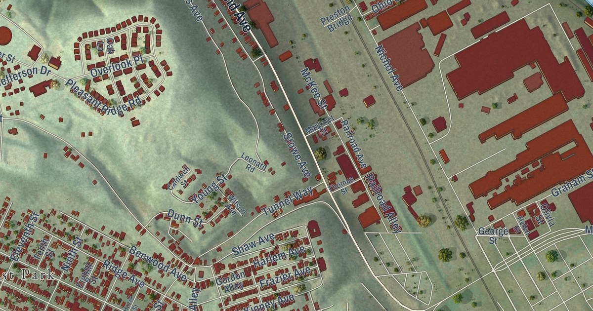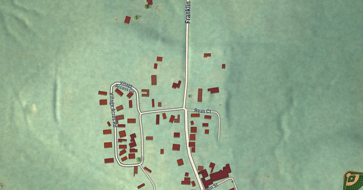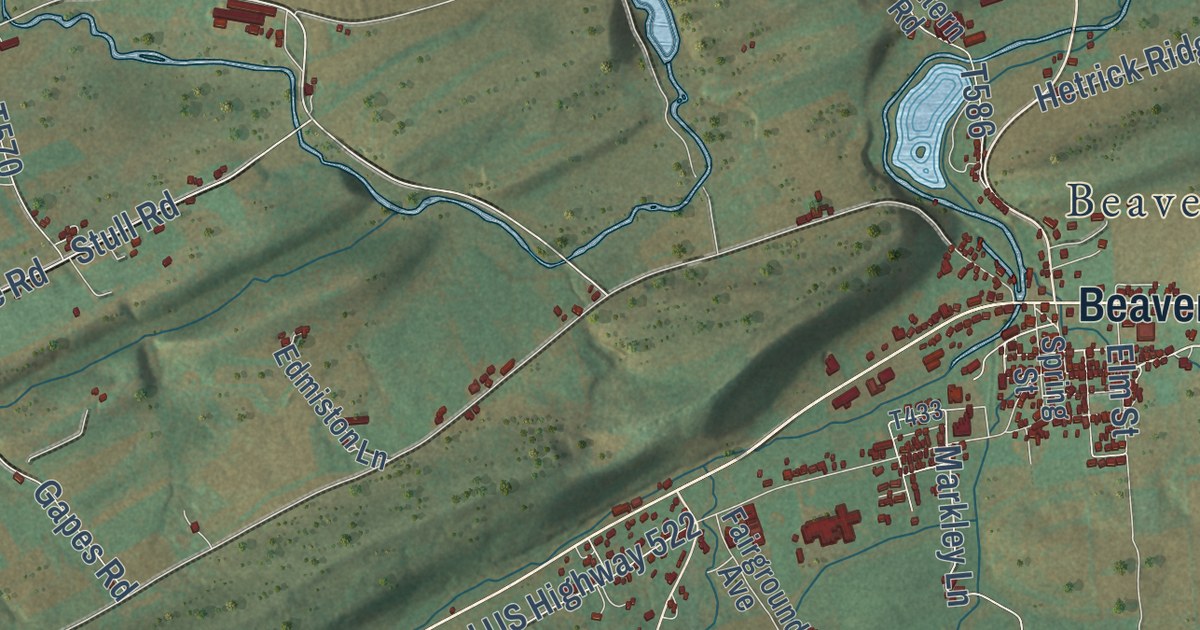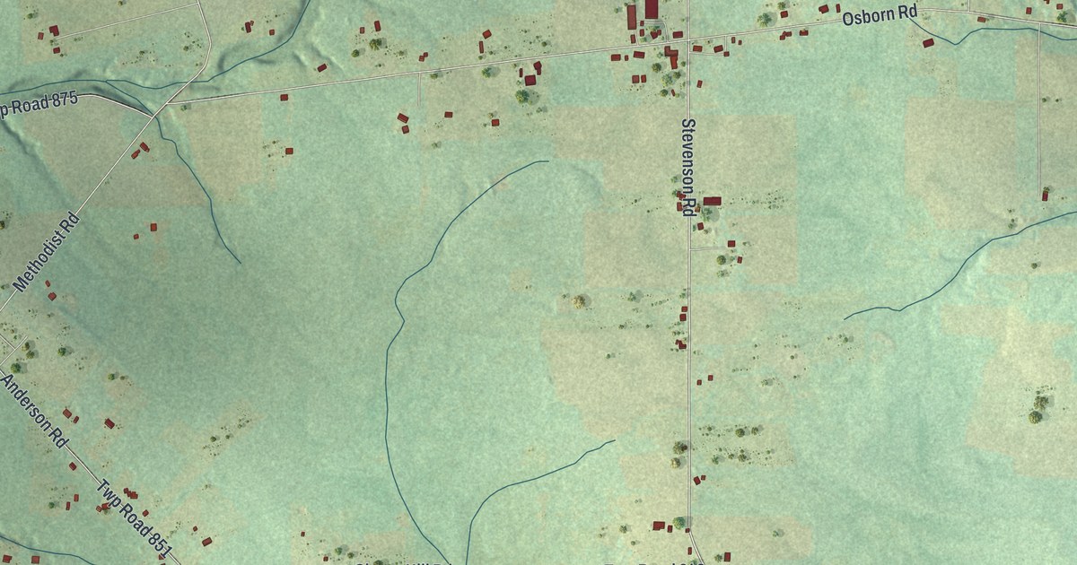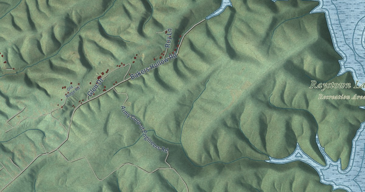
This beautifully detailed map of Juniata, Huntingdon County, Pennsylvania was created in 2026 using aerial imagery combined with modern topographical, census, street and landmark data. It’s a one-of-a-kind view of Juniata that combines accurate data with a vintage aesthetic. The map shows every building in its true location, many of the roads carry their names, and the shaded topographic relief shows the shape of the land.
Explore an aerial view of Juniata, Huntingdon County, Pennsylvania
On the map you’ll find Raystown Lake Recreation Area, along with Piney Ridge Road, Summer Road, Parks Road, Neda Lane, Overlook Road, Point Road, and more. If you look closely you can even find your house accurately drawn in its correct location. Zoom in on the preview to look for yours.
Did you know this piece of Juniata, Huntingdon County, Pennsylvania history?
From the History of Huntingdon and Blair Counties: "Although possessing so little land to invite settlements, some of the first improvements in the county were made in what is now Juniata."
Take a closer look at the Juniata, Huntingdon County map
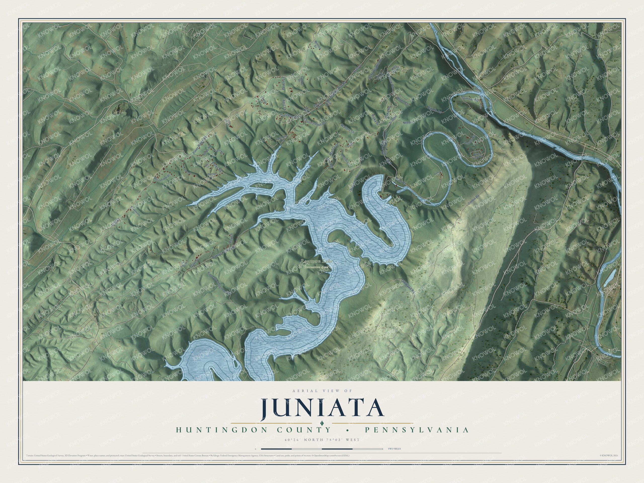
Street and place names on the Juniata, Huntingdon County, Pennsylvania map
These names are printed on the map of Juniata, Huntingdon County, Pennsylvania.
Places: Raystown Lake Recreation Area.
Streets and roads: Piney Ridge Road, Sr3033, Parks Road, Overlook Road, Sr3045, Old Hawn Road, Neda Lane, Sr3043, Summer Road, Point Road, Corbin Road, Snyders Run Road.
More street names, A to Z
April Lane, Army Corp of Engineers Road, Baja Drive, Bakers Hollow Road, Berley Road, Beverly Road, Boat Launch, Brookeview Drive, Chester Lane, Country Oaks Drive, Crestwood Drive, Echo Heights Drive, Family Lane, Glen Drive, Halls Dairy Lane, Hidden Valley Drive, Hunter Drive, Kathrine Lane, Marcia Drive, Mimosa Drive, Niki Lane, Norris Farm Drive, Old Ridge Road, Orin Road, Peach Lane, Raven Lane, Ridenhour Overlook, Ripka Drive, Ripka Road, Ripplin Road, River View Heights, Roy Lane, Stone Bridge Hollow Road, Stone Bridge Road, Sunday Drive, Thompson Road, Valentine Lane, Vista Rise Drive, Walters Lane, Watson Drive, Willow Brook Circle, Yocum Road.
See the Juniata, Huntingdon County, Pennsylvania map on a wall
The Juniata, Huntingdon County map as an 18 x 24 inch print in a black frame.

This beautifully detailed map of Juniata, Huntingdon County makes an attractive addition to your office, library, or den, and it can even be used to teach children the geography and history of the area. It also makes a great gift for anyone with Juniata roots. When you’re done exploring, click here to get your copy of the Juniata, Huntingdon County map.