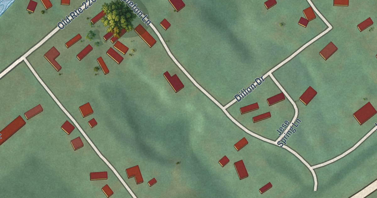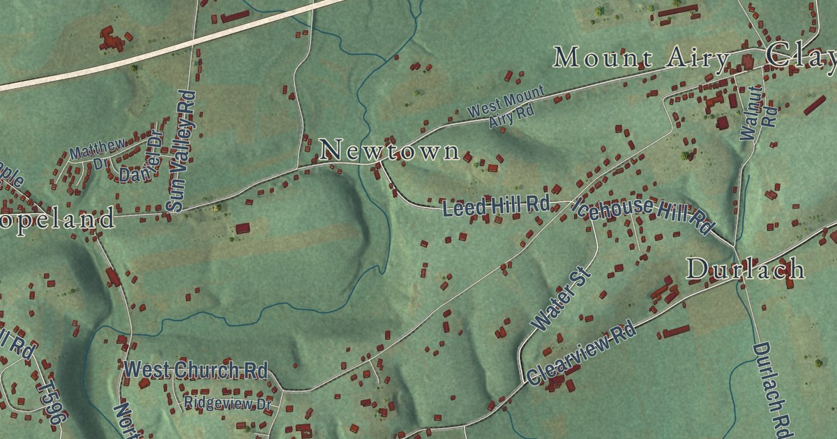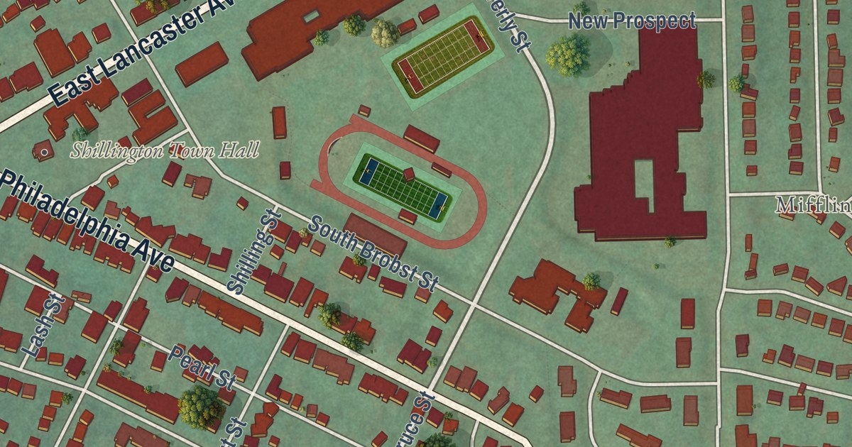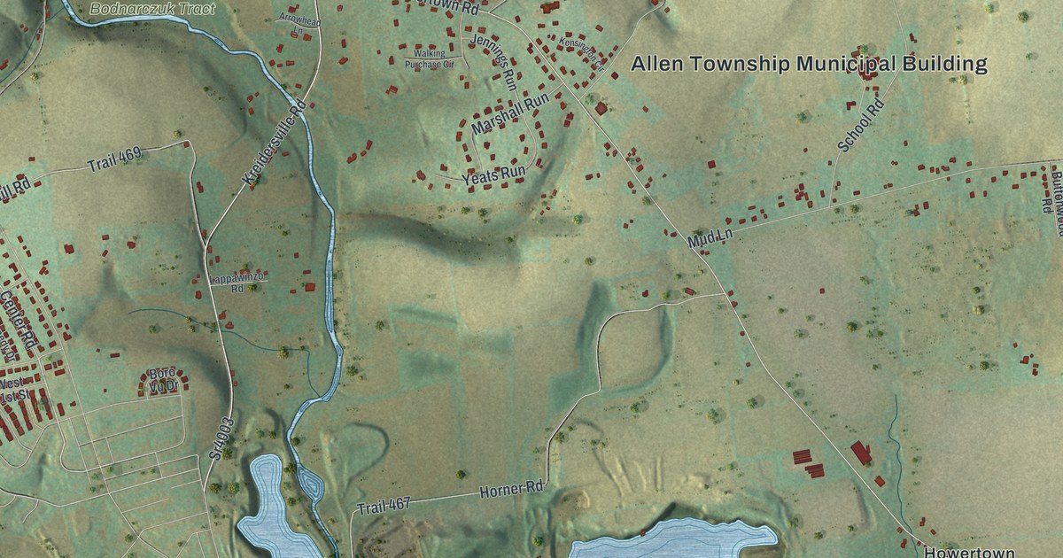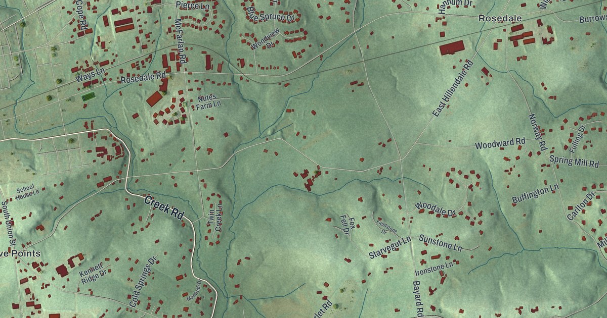
This beautifully detailed map of Kennett, Pennsylvania was created in 2026 using aerial imagery combined with modern topographical, census, street and landmark data. It’s a one-of-a-kind view of Kennett that combines accurate data with a vintage aesthetic. The map shows every building in its true location, many of the roads carry their names, and the shaded topographic relief shows the shape of the land.
Explore an aerial view of Kennett, Pennsylvania
On the map you’ll find Kennett Township Municipal Building, Burnt Mills, Five Points, Hamorton, Longwood, Mendenhall, and Rosedale, along with Creek Road, Kennett Pike, Baltimore Pike, Lenape Road, North Union Street, and more. If you look closely you can even find your house accurately drawn in its correct location. Zoom in on the preview to look for yours.
Did you know this piece of Kennett, Pennsylvania history?
From the Pennsylvania Historical and Museum Commission: "Quaker abolitionists, the Mendenhalls harbored freedom seekers on the Underground Railroad in their nearby home, Oakdale. Originally members of Old Kennett Meeting, which became divided on the issue of slavery, they helped found Longwood Progressive Meeting in 1853. Dinah was a member of a committee that met with Pres. Lincoln in 1862 to urge him to enact the Emancipation Proclamation. Both were firm supporters of women's voting rights."
Take a closer look at the Kennett map
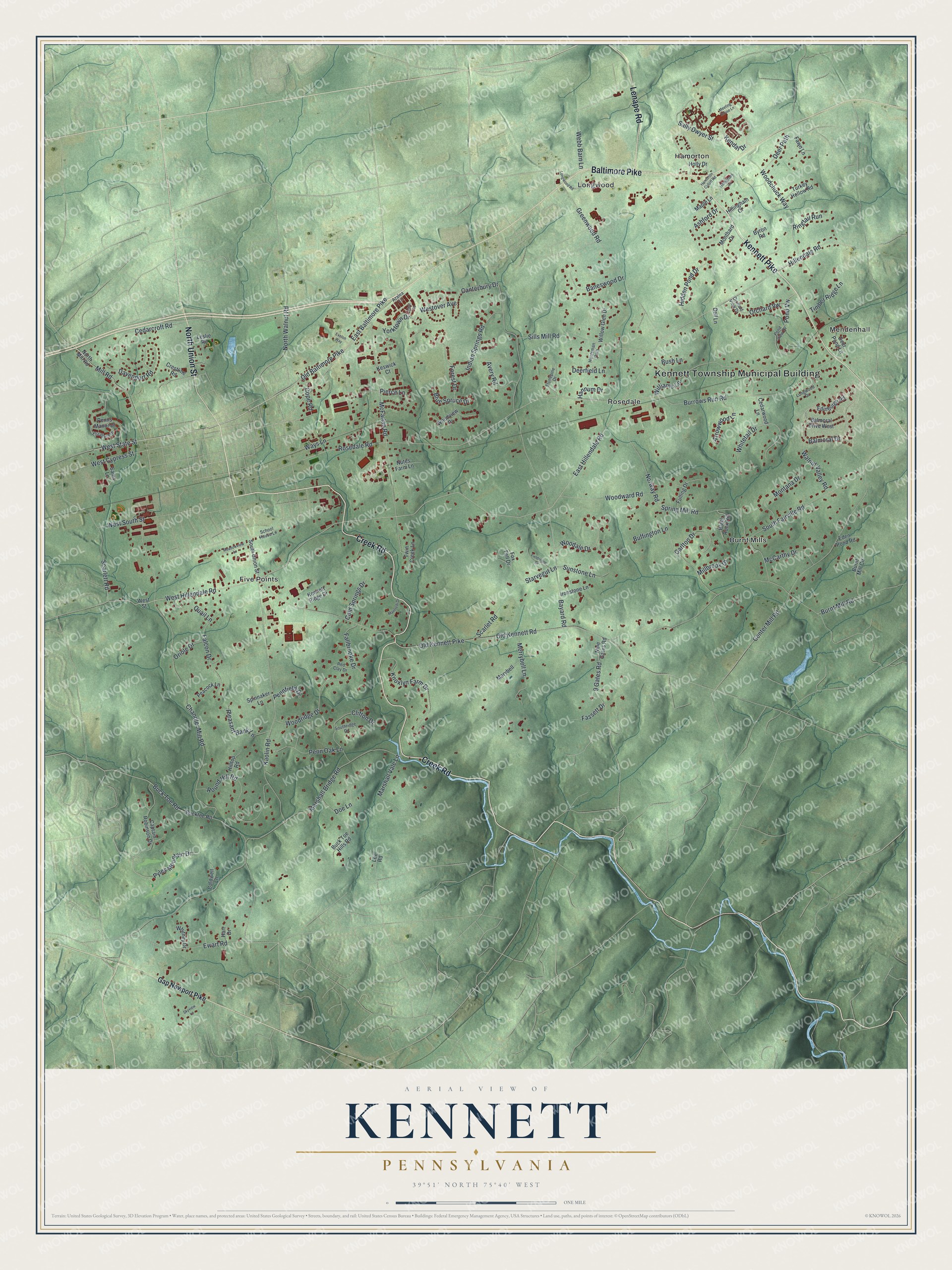
Street and place names on the Kennett, Pennsylvania map
These names are printed on the map of Kennett, Pennsylvania.
Places: Kennett Township Municipal Building, Burnt Mills, Five Points, Hamorton, Longwood, Mendenhall and Rosedale.
Streets and roads: Creek Road, Kennett Pike, Baltimore Pike, Lenape Road, North Union Street, West Hillendale Road, Old Baltimore Pike, West State Street, Kendal Drive, East Hillendale Road, Balmoral Drive, Rosedale Road.
More street names, A to Z
9 Gates Road, Arbor Lane, Arrowwood Lane, Ashford Drive, Avery Road, Azalea Lane, Balmoral Drive West, Baneswood Drive, Bayard Road, Black Rock Hill, Blue Spruce Drive, Buck Toe Hills Road, Buck Toe Road, Bucktoe Road, Buffington Lane, Burnt Mill Circle, Burnt Mill Road, Burrows Run Road, Bush Lane, Byron Road, Caldwell Lane, Canterbury Drive, Captain Robinson Drive, Carlton Drive, Cedarcroft Road, Cedarwood Lane, Center Mill Road, Chandler Mill Road, Clifton Drive, Cold Springs Drive, Cope Road, Crestline Road, Davenport Road, Deerfield Lane, Deer Path, Deer Pond Lane, Dell Lane, Doe Lane, East Baltimore Pike, Eden Pond Road, Edinburgh Road, Elizabeth Drive, Ewart Road, Exelon Way, Falcon Drive, Fallbrooke Drive, Fassett Drive, Fawn Lane, Fieldstone Drive, Forest Drive, Fox Fell Drive, Fulling Drive, Gap Newport Pike, Greenwood Road, Hamorton Cutoff Road, Hannum Drive, Hart Drive, Hidden Pond Drive, Hillendale Road, Hillingham Circle, Hillingham Court, Hilltop Road, Holly Drive, Huntsman Path, Indian Springs Road, Ironstone Lane, Kaolin Road, Kennett Ridge Drive, Keswick Court, Knoxlyn Farm Drive, Lee Road, Leslie Road, Longwood Drive, Longwood Road, Manfredi Drive, Maple Lane, Marshall Bridge Road, Marshall Vale Lane, Marybell, McCarthy Drive, McFarlan Road, Meadowview Lane, Meeting House Lane, Merrybell Lane, Millbrook Drive, Mill Road, Montana Drive, Montbard Drive, Nine Gates Road, North Mill Road, North Walnut Road, Norway Road, Nutes Farm Lane, Old Kennett Pike, Old Kennett Road, Orchard View Drive, Orchard Vw, Oriole Drive, Peacock Lane, Pennfield Drive, Penn Oak Lane, Penns Manor Drive, Pierce Lane, Pleasant Bank Lane, Pond View Drive, Pond Vw, Pyles Mountain Drive, Quail Lane, Red Clay Drive, Ringtail Run, Round Hill Road, Sally Dwyer Street, Sams Lane, Scarlet Road, Scarlett Road, School House Lane, Sills Mill Road, Skyview Lane, South Fairville Road, Southridge Drive, South Union Street, Spinnaker Lane, Spring Mill Road, Starvegut Lane, Stonepine Drive, Sunstone Lane, Timber Ridge Lane, Turkey Hollow Road, Twin Creek Lane, Walnut Valley Road, Ways Lane, Webb Barn Lane, West Cypress Street, Westover Avenue, West South Street, West Street, Whitetail Drive, Whitney Drive, Williams Lane, Willow Glen Drive, Woodale Drive, Woodchuck Way, Woodridge Drive, Woodview Drive, Woodward Road, Yorktown Drive.
See the Kennett, Pennsylvania map on a wall
The Kennett map as an 18 x 24 inch print in a black frame.

This beautifully detailed map of Kennett makes an attractive addition to your office, library, or den, and it can even be used to teach children the geography and history of the area. It also makes a great gift for anyone who grew up in Kennett or moved away. When you’re done exploring, click here to get your copy of the Kennett map.