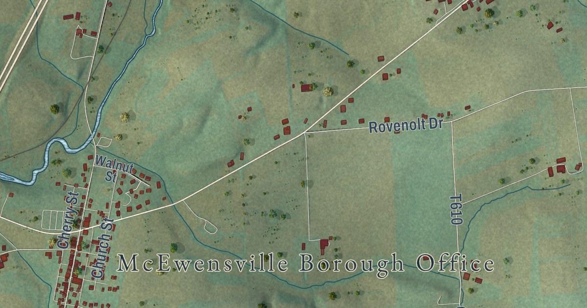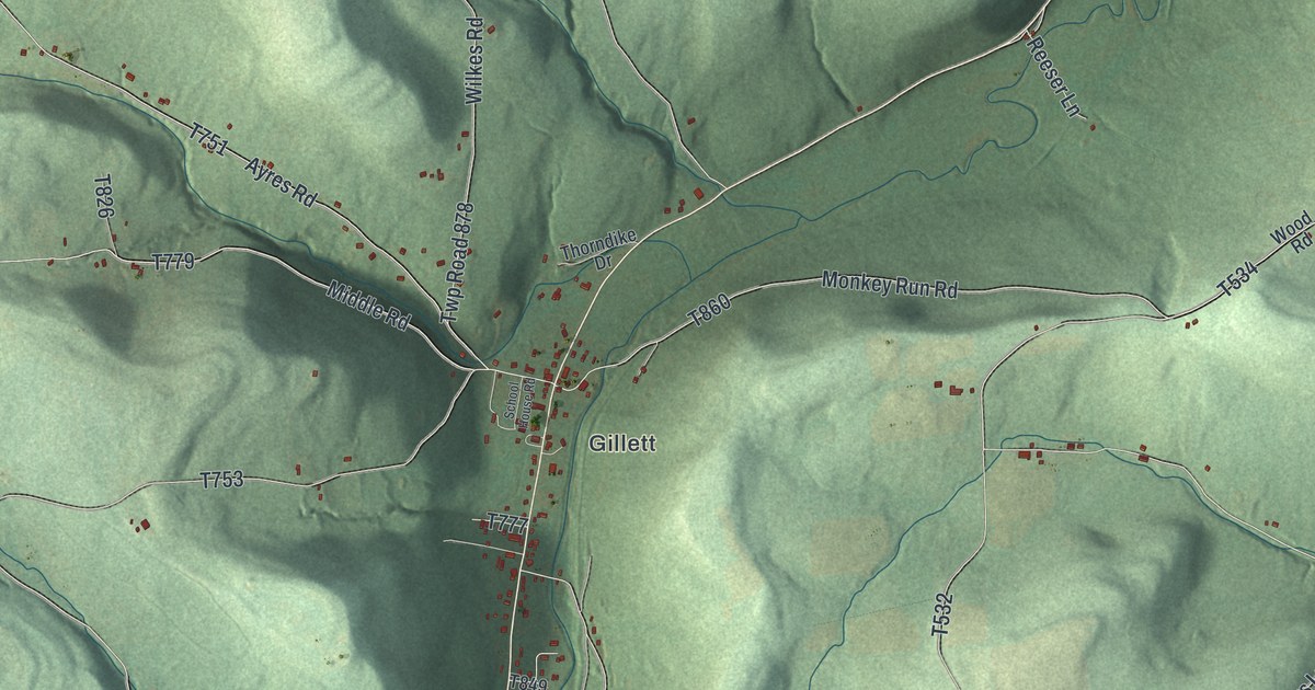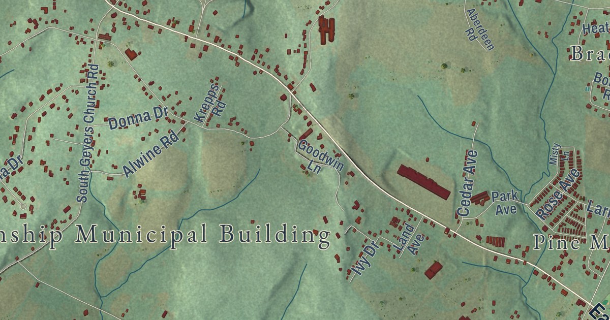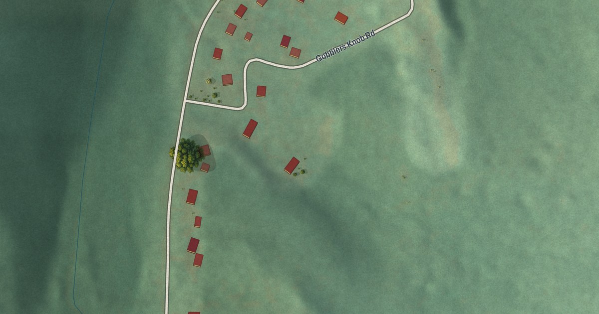
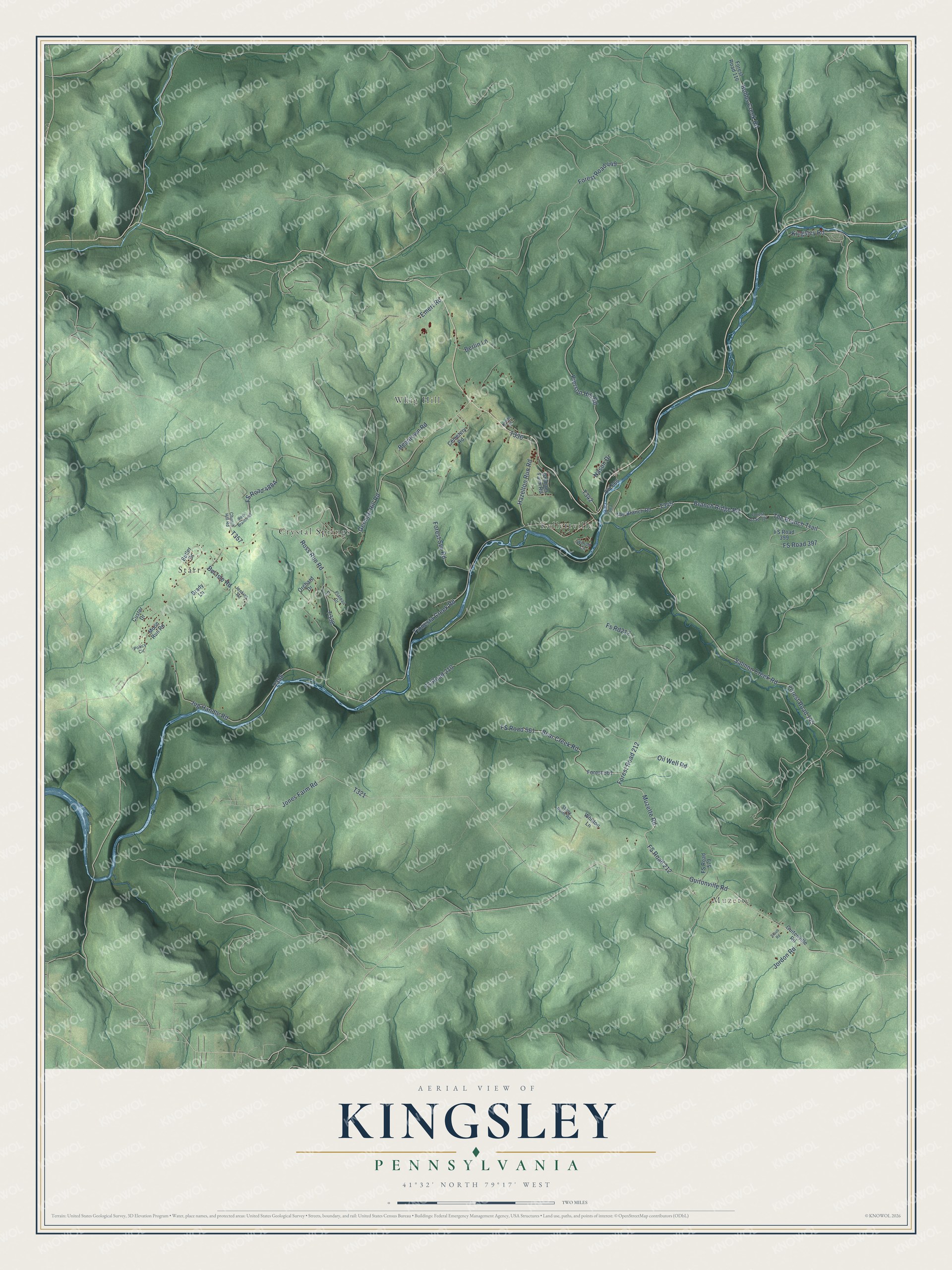
This beautifully detailed map of Kingsley, Pennsylvania was created in 2026 using aerial imagery combined with modern topographical, census, street and landmark data. It’s a one-of-a-kind view of Kingsley that combines accurate data with a vintage aesthetic. The map shows every building in its true location, many of the roads carry their names, and the shaded topographic relief shows the shape of the land.
Explore an aerial view of Kingsley, Pennsylvania
On the map you’ll find Muzette, Crystal Springs, Kellettville, Starr, Whig Hill, Forest 561, and FS Road 212, along with Oil Well Road, Guitonville Road, Bear Creek Road, Muzette Road, Kingsley Road, and more. If you look closely you can even find your house accurately drawn in its correct location. Zoom in on the preview to look for yours.
Did you know this piece of Kingsley, Pennsylvania history?
From the History of Forest County: "Ebenezer Kingsley (after whom Kingsley township was named) was one of the pioneer settlers on Tionesta creek. He had wandered from Genesee county, N. Y., came down the river on a raft, and was not slow in perceiving that all kinds of game abounded."
Take a closer look at the Kingsley map
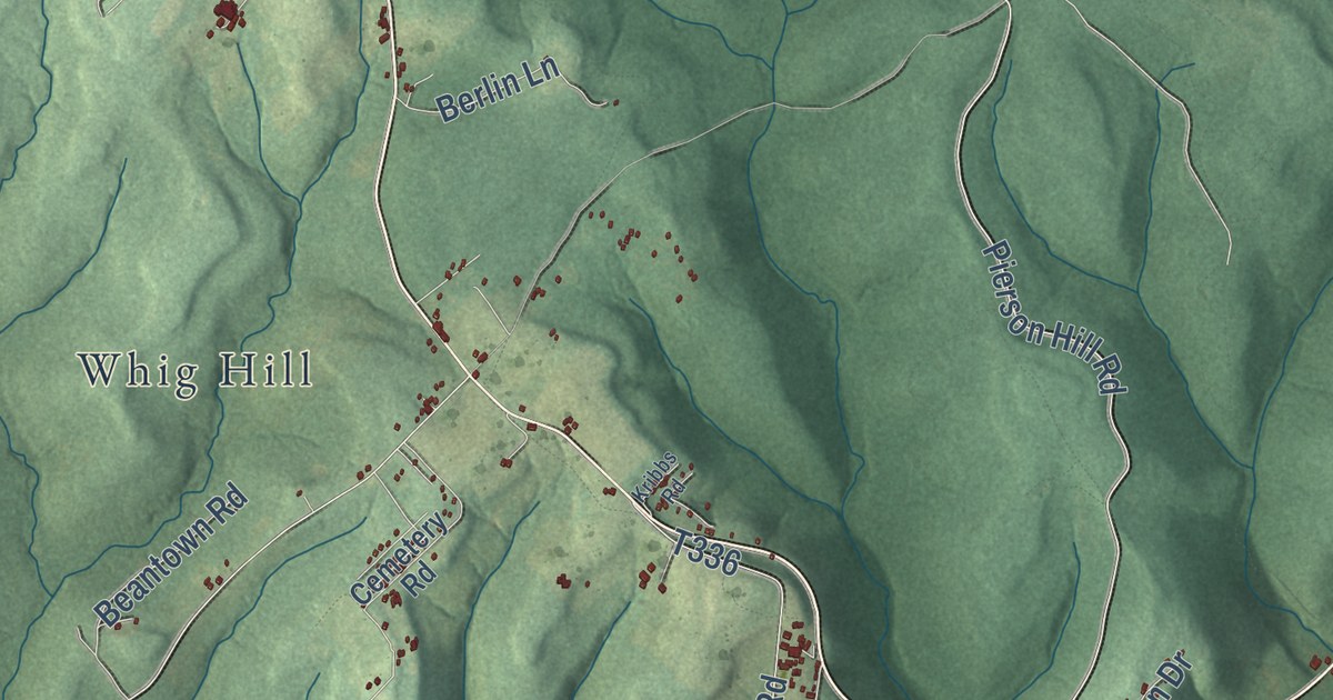
Street and place names on the Kingsley, Pennsylvania map
These names are printed on the map of Kingsley, Pennsylvania.
Places: Muzette, Whig Hill, Starr, Crystal Springs and Kellettville.
Streets and roads: Guitonville Road, Forest Road 212, Muzette Road, FS Road 212, Branch Ridge Road, The Branch Trail, Oil Well Road, Kingsley Road, Bear Creek Road, Forest Road 449, FS Road 397, Pierson Hill Road.
More street names, A to Z
Beantown Road, Bel Isle Road, Berlin Lane, Bobbs Creek Road, Brady Lane, Butler Drive, Cemetery Road, Church Hill Road, Coe Cg Road, Custer Drive, Emert Road, Forest 561, Forest Road 116, Forest Road 127, Forest Road 145, Forest Svc Road, Fs Rd212, FS Road 210, FS Road 399, FS Road 561, FS Road 579, German Hill Road, Graham Farm Road, Guitenville Road, Hazelton Run Road, Jenkins Road, Jones Farm Road, Jordon Road, Jug Handle Road, Kribbs Road, Lane, Moon Run Road, Nason Drive, Old 666, Orchard Drive, Plateau Drive, Policy Circle, Reck Branch Road, Ross Run Road, Salmon Creek Road, Staub Road, Stony Point Road, The Branch Road, Tionesta Creek Road, Whitton Lane, Wilson Circle.
See the Kingsley, Pennsylvania map on a wall
The Kingsley map as an 18 x 24 inch print in a black frame.

This beautifully detailed map of Kingsley makes an attractive addition to your office, library, or den, and it can even be used to teach children the geography and history of the area. It also makes a great gift for anyone with Kingsley roots. When you’re done exploring, click here to get your copy of the Kingsley map.