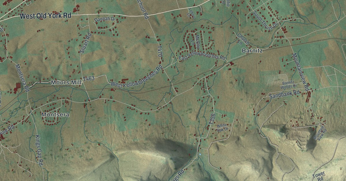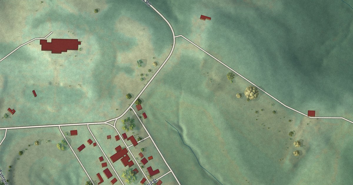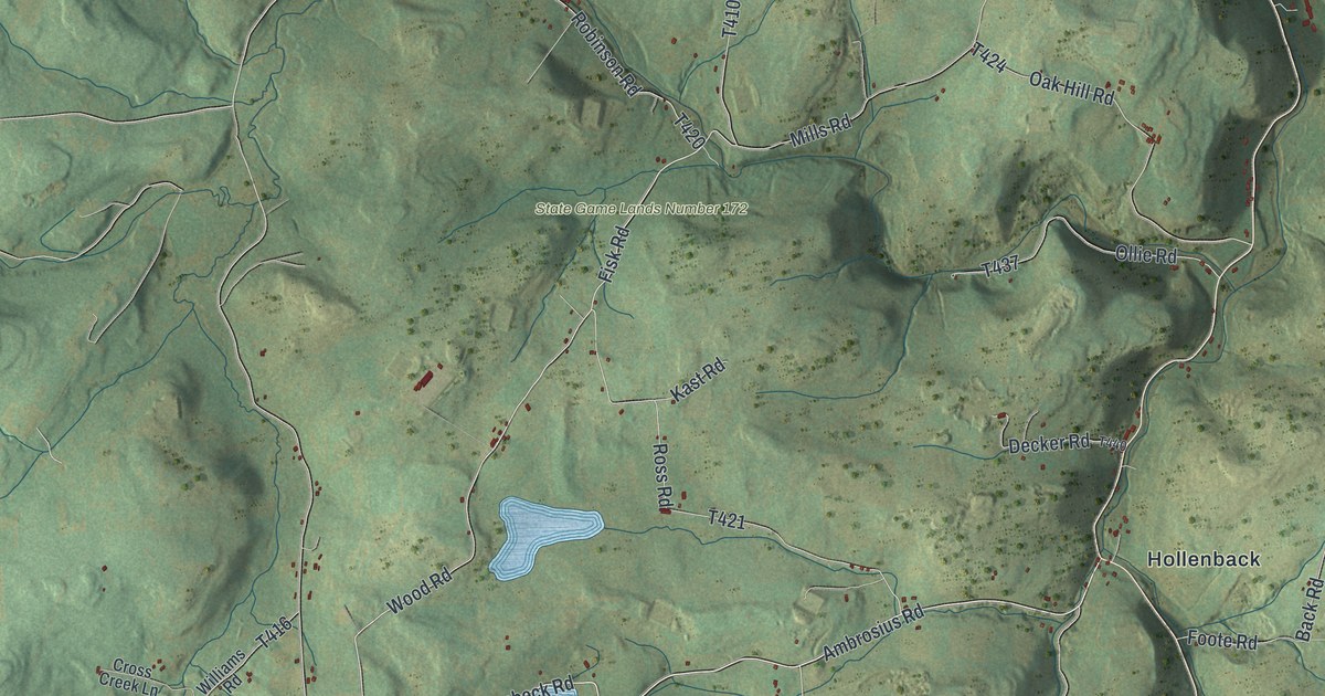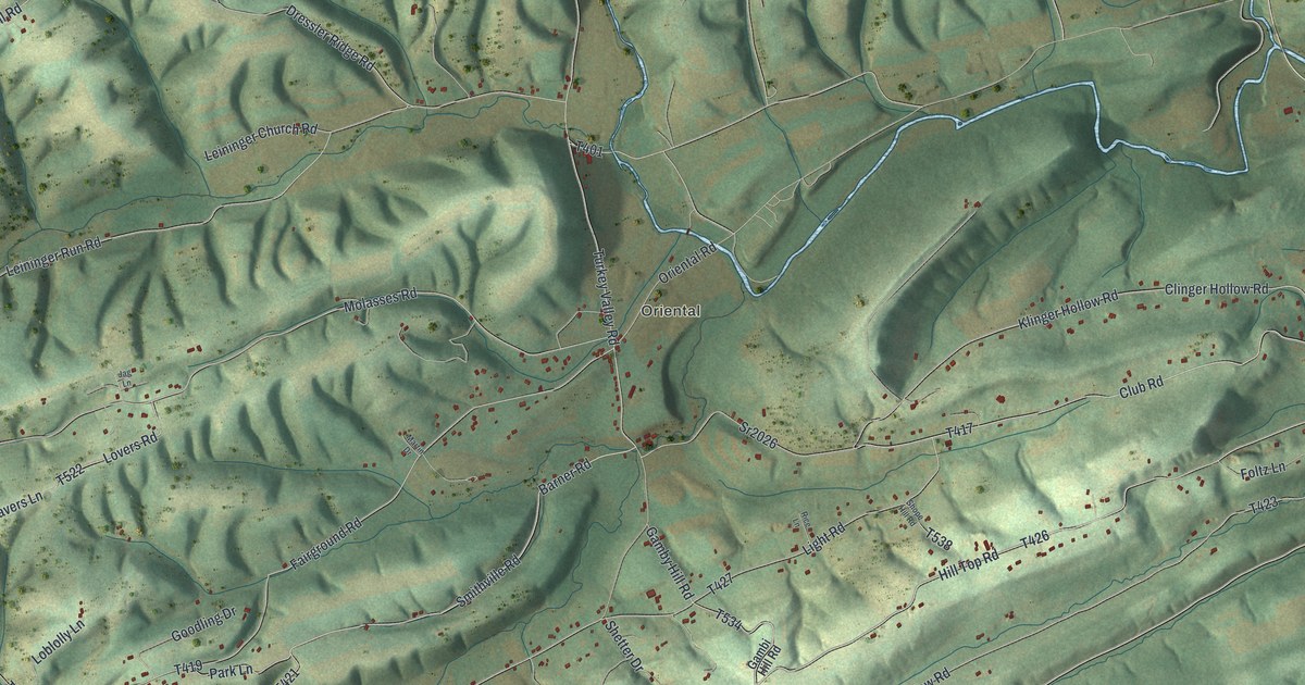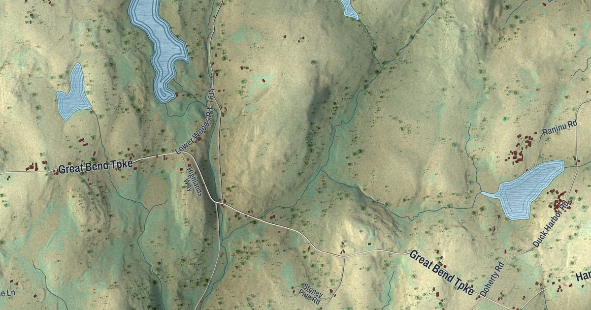
This beautifully detailed map of Lebanon, Wayne County, Pennsylvania was created in 2026 using aerial imagery combined with modern topographical, census, street and landmark data. It’s a one-of-a-kind view of Lebanon that combines accurate data with a vintage aesthetic. The map shows every building in its true location, many of the roads carry their names, and the shaded topographic relief shows the shape of the land.
Explore an aerial view of Lebanon, Wayne County, Pennsylvania
On the map you’ll find Girdland, Cold Spring, Rileyville, Camp Seneca Lake, Camp Towanda, and State Game Lands Number 159, along with Great Bend Turnpike, Hancock Highway, Cochecton Turnpike, Doherty Road, Girdland Road, Gager Road, and more. If you look closely you can even find your house accurately drawn in its correct location. Zoom in on the preview to look for yours.
Did you know this piece of Lebanon, Wayne County, Pennsylvania history?
From the History of Wayne Pike and Monroe Counties: "John Douglass (1773-1842), a native of Vermont, and Silas Stevens, his brother-in-law, a native of the same place-, settled near Cold Spring in Lebanon township, and across the line in Mount Pleasant township, Wayne County, in 1811."
Take a closer look at the Lebanon, Wayne County map
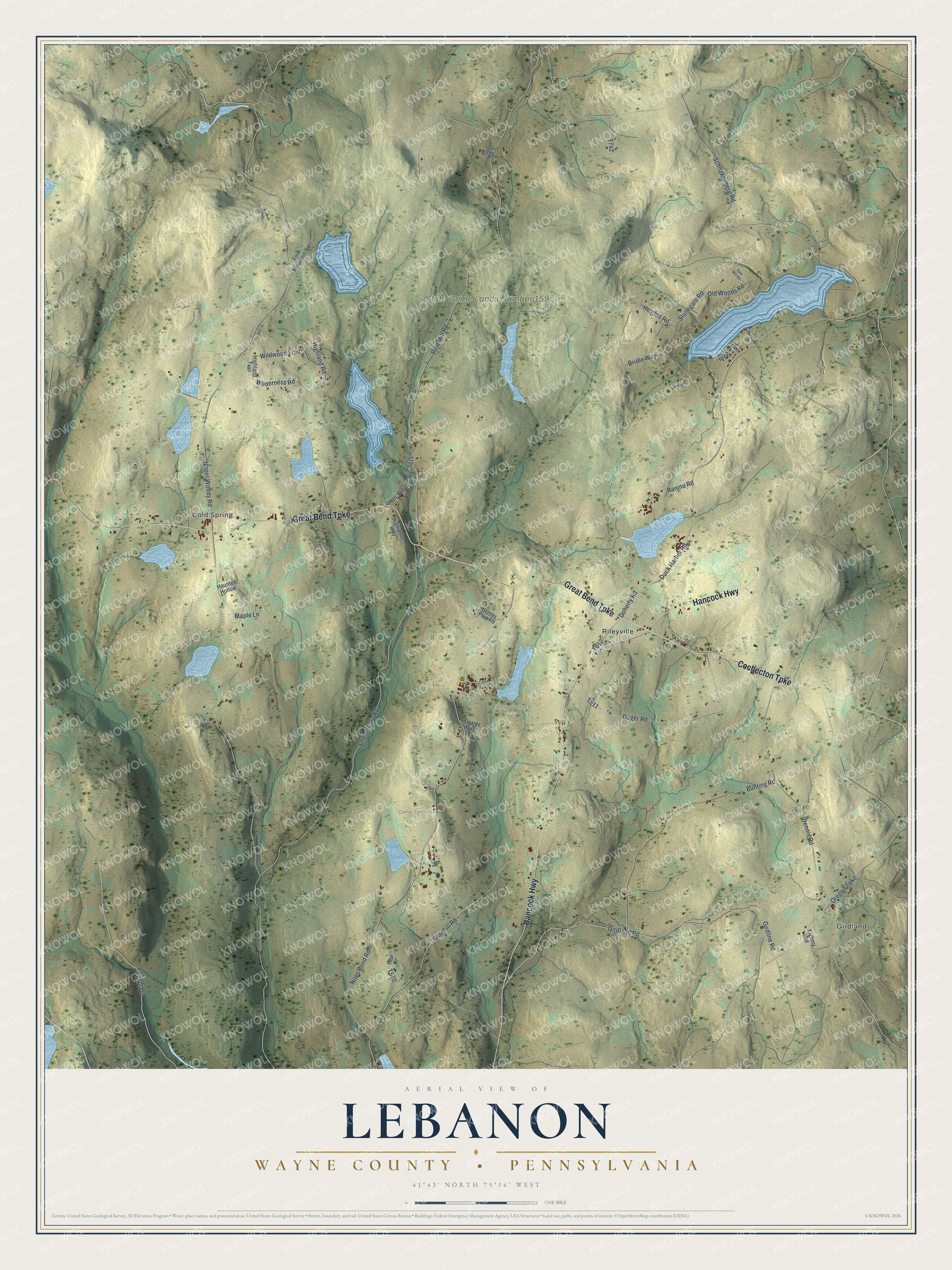
Street and place names on the Lebanon, Wayne County, Pennsylvania map
These names are printed on the map of Lebanon, Wayne County, Pennsylvania.
Places: Girdland, Cold Spring, Rileyville, Camp Seneca Lake, Camp Towanda and State Game Lands Number 159.
Streets and roads: Great Bend Turnpike, Hancock Highway, Cochecton Turnpike, Doherty Road, Girdland Road, Gager Road, Egypt Drive, Wilderness Road, Wildwood Trail, Schnakenberg Road, Upper Woods Road, Niles Pond Road.
More street names, A to Z
Allens Road, Alvarez Way, Bridle Way, Bunting Road, Dennis Road, Duck Harbor Road, Eighmy Road, Fork Mountain Road, Girdline Road, Haunted Hollow, Heights Road, Highland Road, Highlands Way, Highland Trail, Leaf Drive, Longwood Drive, Lower Woods Road, Maple Drive, Maple Lane, Melody Drive, Old Woods Road, Oregon Turnpike, Pine Mill Road, Raninu Road, Rosehill Road, Saw Mill Road, Shieldsboro Road, Stonegate Road, Stoney Pine Road.
See the Lebanon, Wayne County, Pennsylvania map on a wall
The Lebanon, Wayne County map as an 18 x 24 inch print in a black frame.

This beautifully detailed map of Lebanon, Wayne County makes an attractive addition to your office, library, or den, and it can even be used to teach children the geography and history of the area. It also makes a great gift for someone who left Lebanon and still calls it home. When you’re done exploring, click here to get your copy of the Lebanon, Wayne County map.