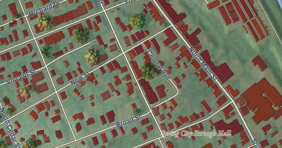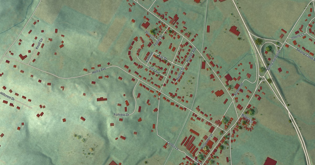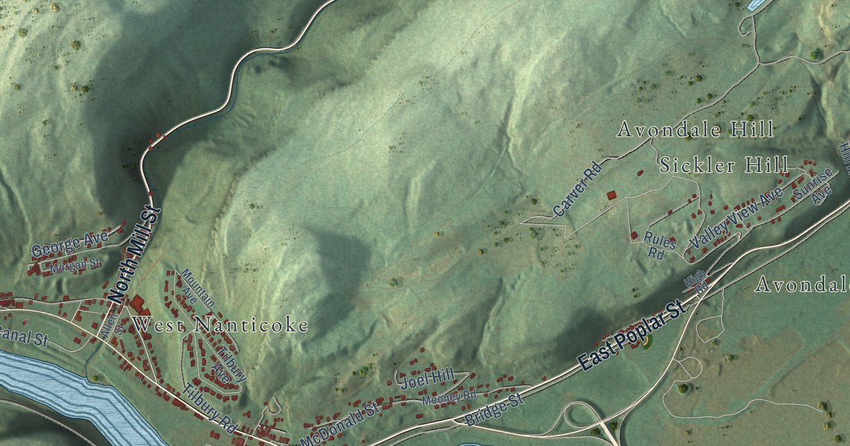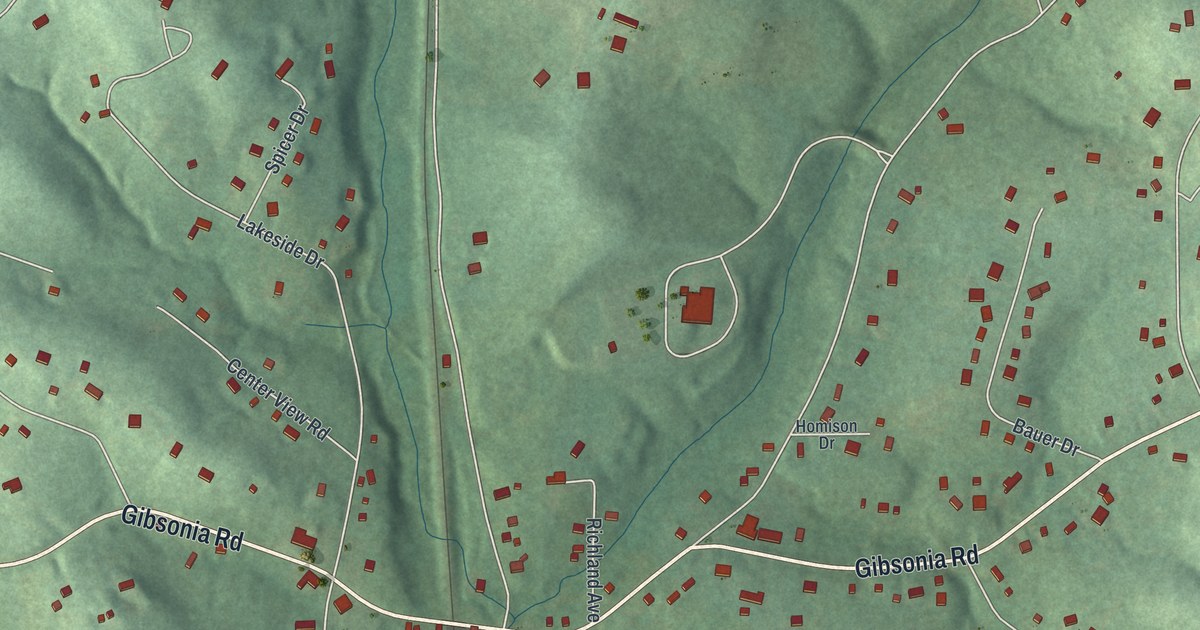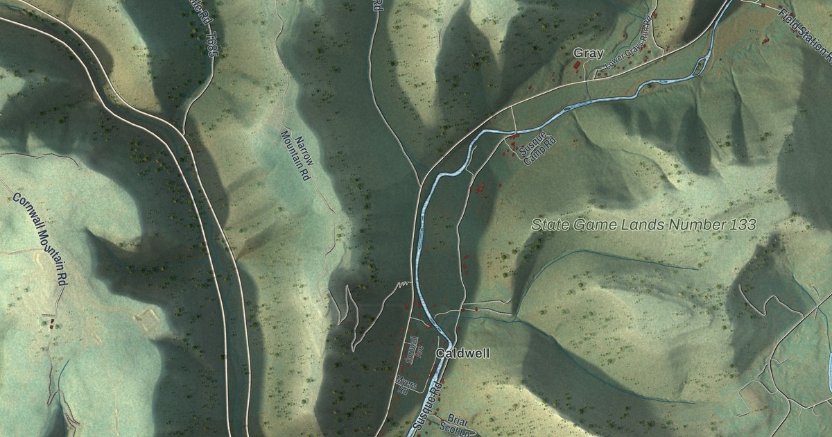
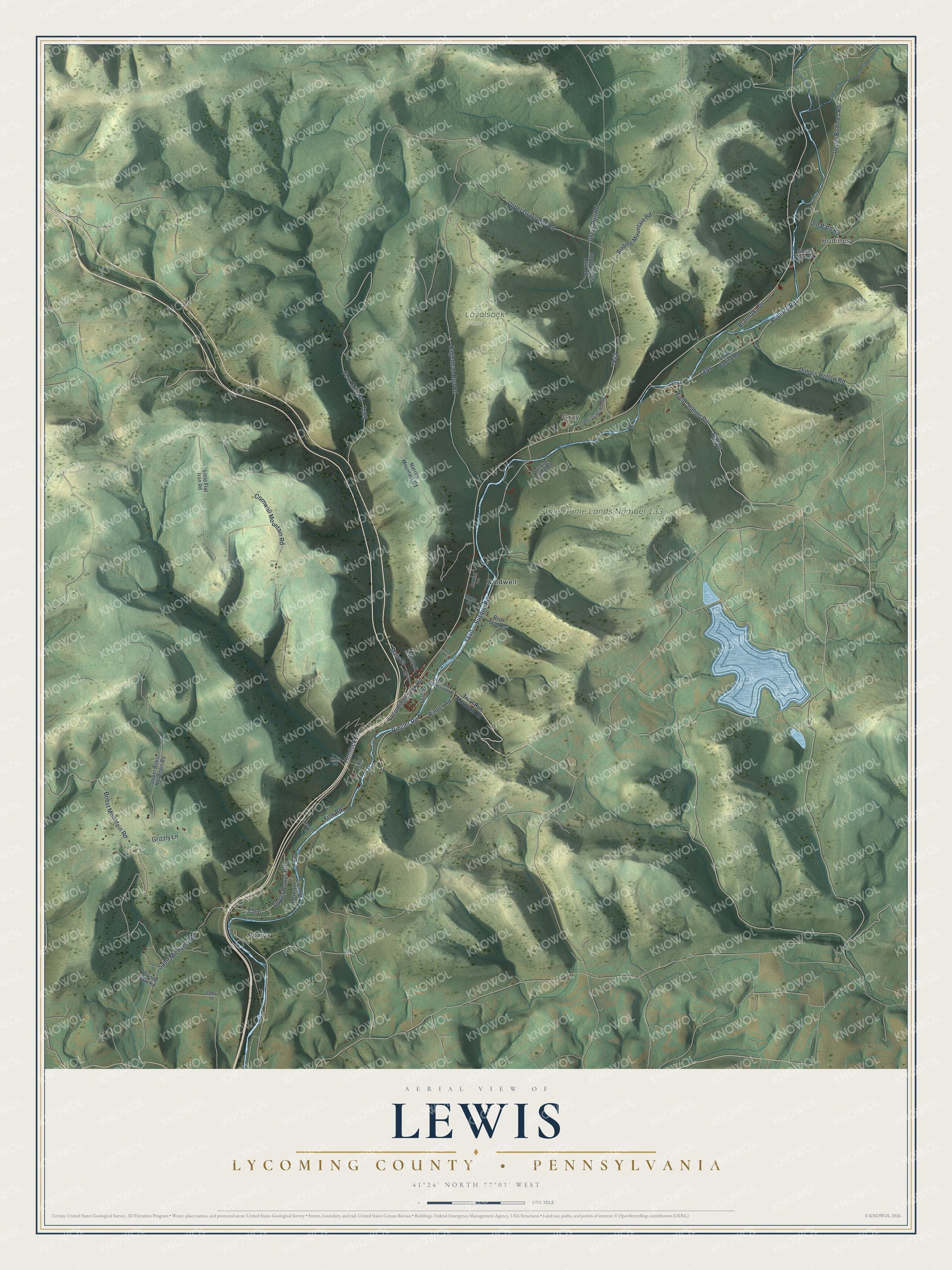
This beautifully detailed map of Lewis, Lycoming County, Pennsylvania was created in 2026 using aerial imagery combined with modern topographical, census, street and landmark data. It’s a one-of-a-kind view of Lewis that combines accurate data with a vintage aesthetic. The map shows every building in its true location, many of the roads carry their names, and the shaded topographic relief shows the shape of the land.
Explore an aerial view of Lewis, Lycoming County, Pennsylvania
On the map you’ll find Bodines, Gray, Loyalsock State Forest, State Game Lands Number 133, Caldwell, and Powys, along with Bodines Road, Cornwall Mountain Road, Upper Powys Road, Field Station Road, and more. If you look closely you can even find your house accurately drawn in its correct location. Zoom in on the preview to look for yours.
Did you know this piece of Lewis, Lycoming County, Pennsylvania history?
In 1835 Lewis Township was carved out of Hepburn Township. It honors Ellis Lewis, then president judge of the local district court. Long before that, the Sheshequin Path followed Lycoming Creek through here. Native Americans and early settlers used the trail as a shortcut between the two branches of the Susquehanna.
Take a closer look at the Lewis, Lycoming County map
Street and place names on the Lewis, Lycoming County, Pennsylvania map
These names are printed on the map of Lewis, Lycoming County, Pennsylvania.
Places: Bodines, Gray, Loyalsock State Forest, State Game Lands Number 133, Caldwell and Powys.
Streets and roads: Bodines Road, Cornwall Mountain Road, Upper Powys Road, Field Station Road, Sr1004, Upper Grays Run Road, Lycoming Creek Road, Four Mile Road, Hagerman Run Road, Bobst Mountain Road, Susque Road, Bodine Mountain Road.
More street names, A to Z
Brandy Run Road, Brannaka Drive, Briar Scot Lane, Cornwall Avenue, Dauber Road, Dubois Hollow Road, Fink Road, Finks Road, Grays Run Road, Grizzly Lane, Hemlock Drive, High Street, Liberty Street, Little Flat Iron Road, Lower Bodine Road, Lower Grays Run Road, Main Street, McIntyre Way, Mill Street, Myers Road, Narrow Mountain Road, Old Barn Road, Ringer Road, Ringler Road, Rock Road, Saint Michaels Road, Slacks Run Road, South Grays Run Road, Susque Camp Road, Trout Run Mountain Road, Twin Oak Lane, Upper Bobst Mountain Road, Upper Bodines Road, Veterans Lane.
See the Lewis, Lycoming County, Pennsylvania map on a wall
The Lewis, Lycoming County map as an 18 x 24 inch print in a black frame.

This beautifully detailed map of Lewis, Lycoming County makes an attractive addition to your office, library, or den, and it can even be used to teach children the geography and history of the area. It also makes a great gift for anyone with Lewis roots. When you’re done exploring, click here to get your copy of the Lewis, Lycoming County map.