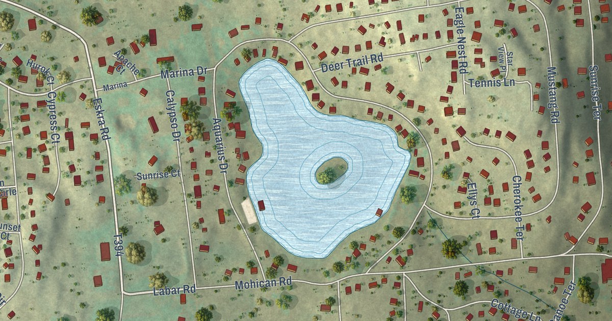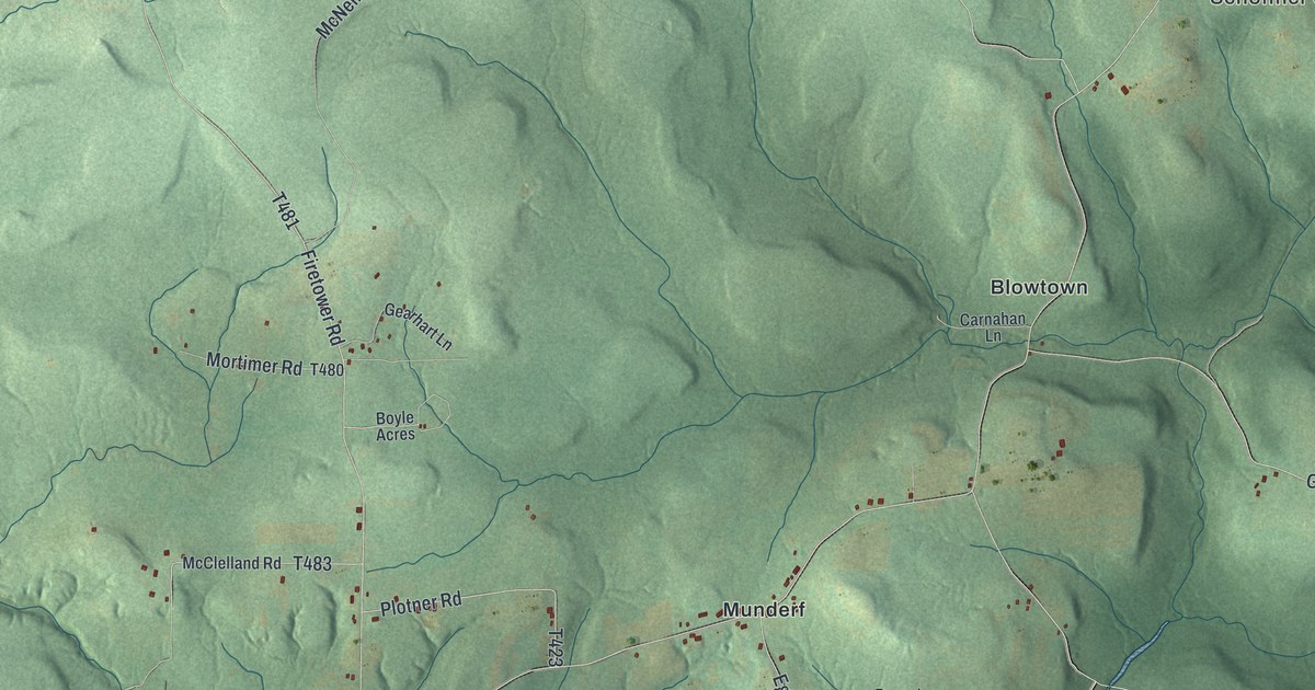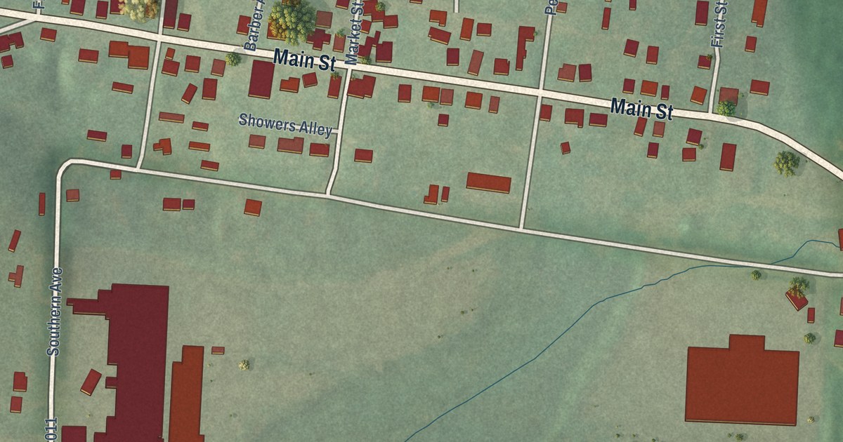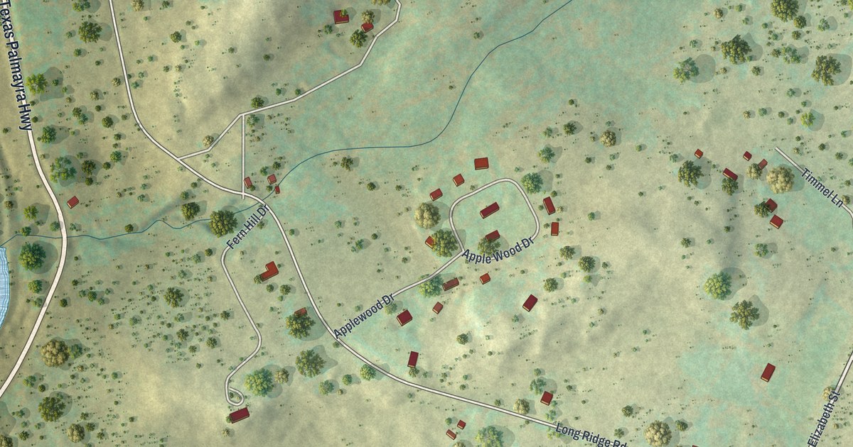
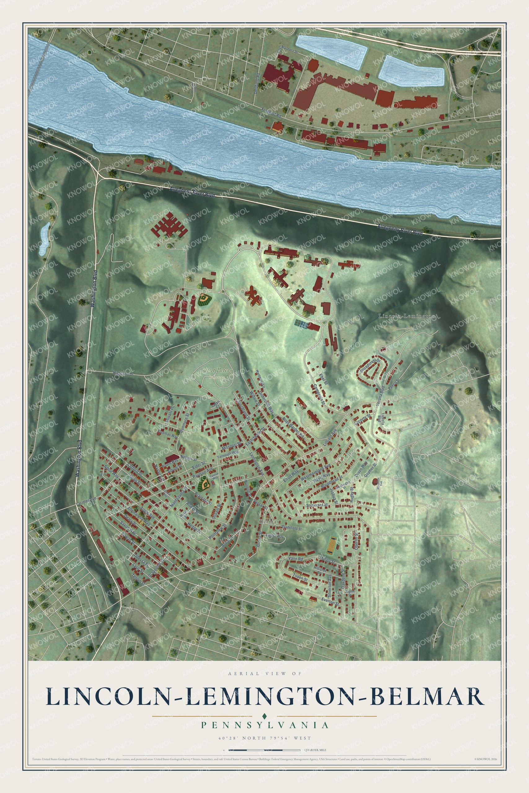
This beautifully detailed map of Lincoln-Lemington-Belmar, Pennsylvania was created in 2026 using aerial imagery combined with modern topographical, census, street and landmark data. It’s a one-of-a-kind view of Lincoln-Lemington-Belmar that combines accurate data with a vintage aesthetic. The map shows every building in its true location, many of the roads carry their names, and the shaded topographic relief shows the shape of the land.
Explore an aerial view of Lincoln-Lemington-Belmar, Pennsylvania
On the map you’ll find Saint Peters Cemetery, Chadwick Park, Belmar, and Lincoln-Lemington, along with Allegheny River Boulevard, Washington Boulevard, Rowan Street, Gopher Street, Lemington Avenue, Highland Drive, Freeport Road, Lincoln Avenue, and more. If you look closely you can even find your house accurately drawn in its correct location. Zoom in on the preview to look for yours.
Did you know this piece of Lincoln-Lemington-Belmar, Pennsylvania history?
From Data.pa.gov: "Pioneering research here at the University of Pittsburgh's Virus Research Laboratory from 1948 to 1955 produced the world's first polio vaccine."
Lincoln-Lemington-Belmar is a place in Allegheny County.
Take a closer look at the Lincoln-Lemington-Belmar map
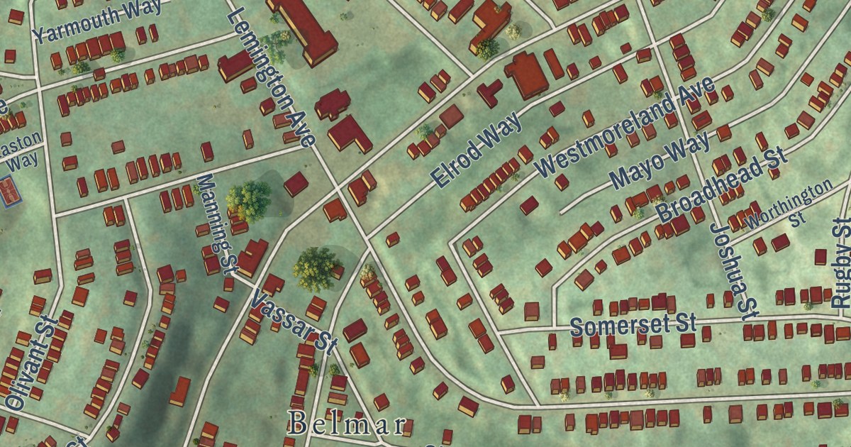
Street and place names on the Lincoln-Lemington-Belmar, Pennsylvania map
These names are printed on the map of Lincoln-Lemington-Belmar, Pennsylvania.
Places: Saint Peters Cemetery, Lincoln-Lemington and Belmar.
Streets and roads: Allegheny River Boulevard, Washington Boulevard, Rowan Street, Gopher Street, Lemington Avenue, Highland Drive, Freeport Road, Lincoln Avenue, Paulson Avenue, Wiltsie Street, Apple Avenue, Montezuma Street.
More street names, A to Z
Album Street, Allemannia Way, Arbor Street, Arbor Way, Bower Street, Brainard Street, Broadcrest Drive, Broadhead Street, Brushton Avenue, Campania Street, Churchland Street, Clifford Street, Clifford Way, Dean Street, Deary Street, Delafield Road, Dick Street, Dravo Way, Dunmore Street, Eastchester Street, East Northern Drive, Easton Way, Ebel Street, Eider Street, Elrod Way, Everton Street, Freeman Way, Gladefield Street, Grapevine Street, Grotto Street, Hartmans Lane, Hedge Street, Hilliards Street, Hyatt Street, Joplin Street, Joshua Street, Laporte Street, Larimer Avenue, Latana Way, Luzzo Court, Lyric Street, Manning Street, Mayo Way, Mingo Street, Missouri Street, Navarro Street, Nelson Street, Oakdene Street, Oberlin Street, Odessa Place, Olivant Place, Olivant Street, Paxico Street, Pointview Street, Roane Way, Ross Garden Road, Rugby Street, Saxon Way, Silverton Avenue, Somerset Street, Tennis Street, Tilden Street, Travella Boulevard, Undercliff Way, Vann Road, Vassar Street, Verona Boulevard, Water Works Drive, Westmoreland Avenue, Worthington Street, Yarmouth Way.
See the Lincoln-Lemington-Belmar, Pennsylvania map on a wall
The Lincoln-Lemington-Belmar map as an 18 x 24 inch print in a black frame.

This beautifully detailed map of Lincoln-Lemington-Belmar makes an attractive addition to your office, library, or den, and it can even be used to teach children the geography and history of the area. It also makes a great gift for anyone with Lincoln-Lemington-Belmar roots. When you’re done exploring, click here to get your copy of the Lincoln-Lemington-Belmar map.