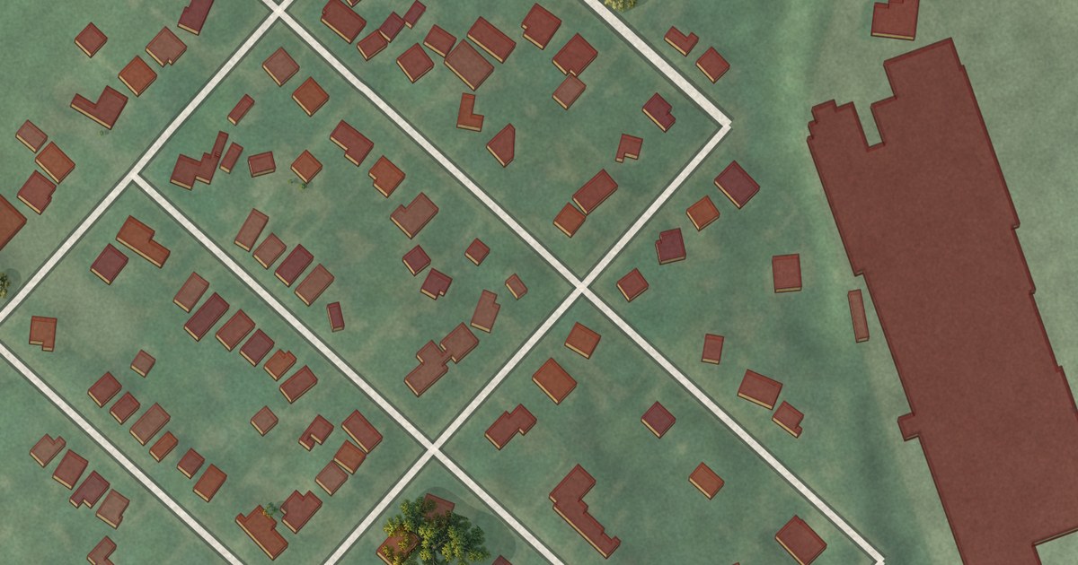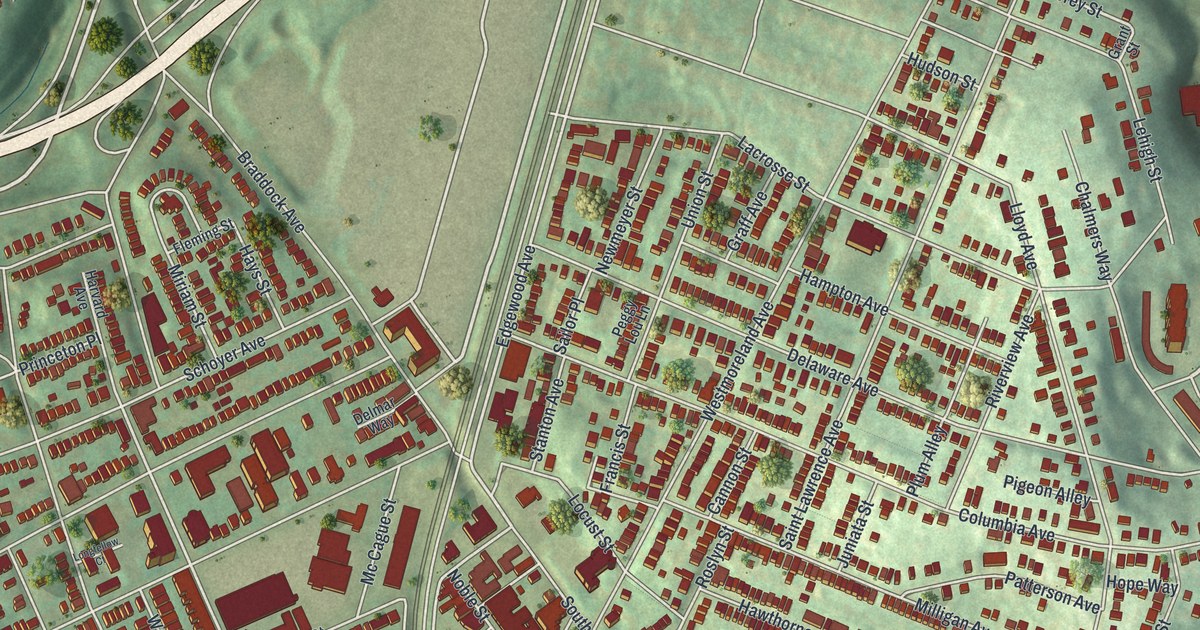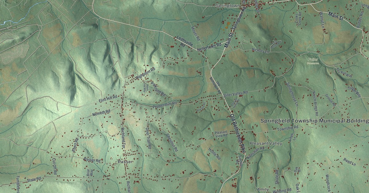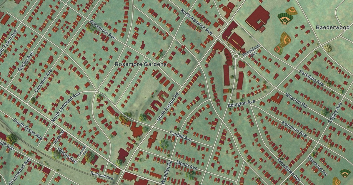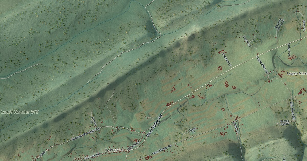
This beautifully detailed map of Logan, Clinton County, Pennsylvania was created in 2026 using aerial imagery combined with modern topographical, census, street and landmark data. It’s a one-of-a-kind view of Logan that combines accurate data with a vintage aesthetic. The map shows every building in its true location, many of the roads carry their names, and the shaded topographic relief shows the shape of the land.
Explore an aerial view of Logan, Clinton County, Pennsylvania
On the map you’ll find Booneville, Greenburr, Logan Mills, Tylersville, Bald Eagle State Forest, and State Game Lands Number 295, along with West Valley Road, Harter Mills Trail, Cherry Run Road, Logan Mills Road, West Winter Road, Cherry Run Trail, and more. If you look closely you can even find your house accurately drawn in its correct location. Zoom in on the preview to look for yours.
Did you know this piece of Logan, Clinton County, Pennsylvania history?
From the 1883 History of Centre and Clinton Counties, Pennsylvania: "At another time, while hunting, he came to a hollow tree, in which he thought there might be a bear; on examining the tree he discovered a hole in the trunk, into which he thrust his hand, which was instantly seized by the jaws of the invisible bruin."
Take a closer look at the Logan, Clinton County map
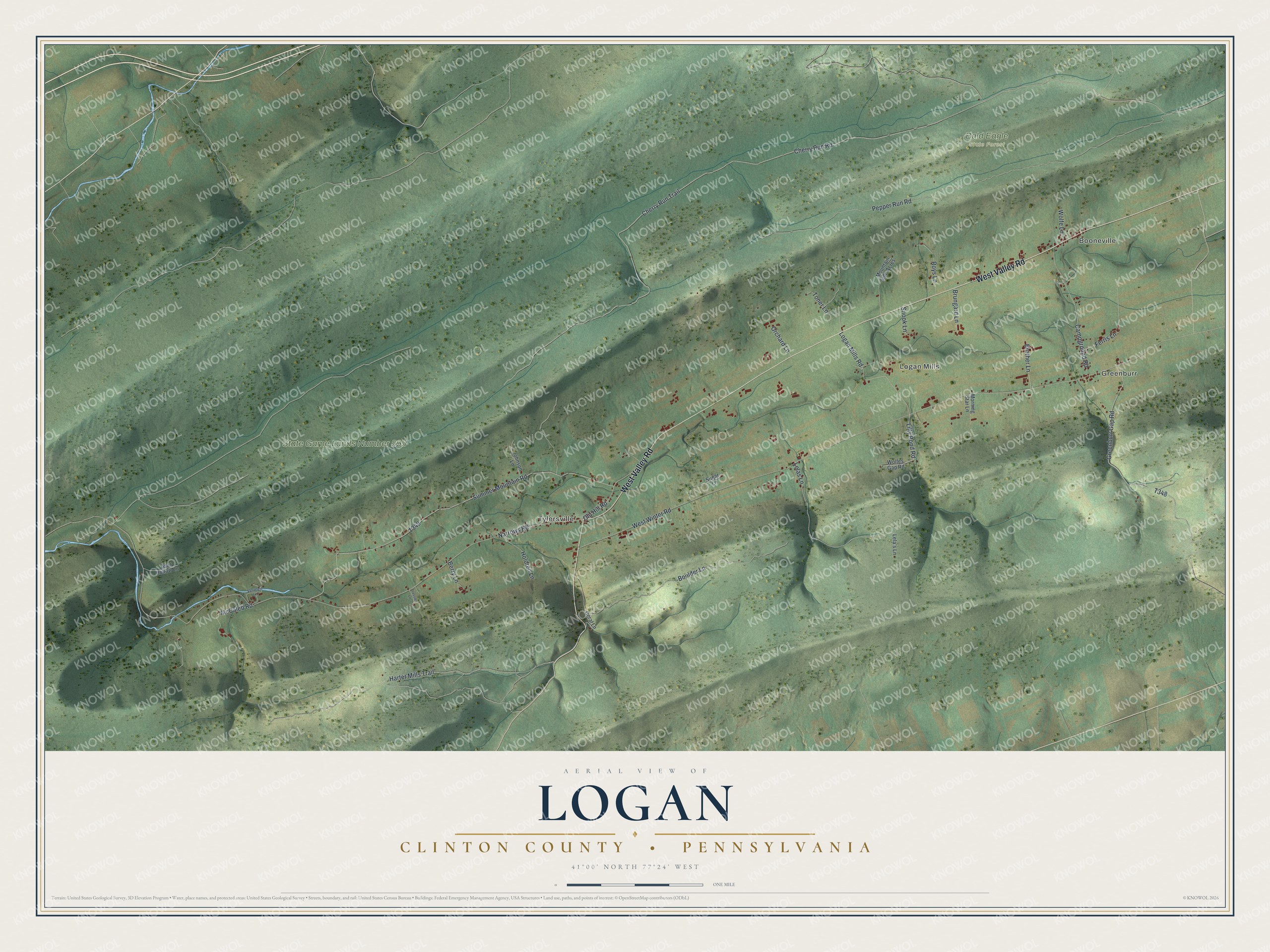
Street and place names on the Logan, Clinton County, Pennsylvania map
These names are printed on the map of Logan, Clinton County, Pennsylvania.
Places: Booneville, Greenburr, Logan Mills, Tylersville, Bald Eagle State Forest and State Game Lands Number 295.
Streets and roads: West Valley Road, Harter Mills Trail, Cherry Run Road, Logan Mills Road, West Winter Road, Cherry Run Trail, Narrows Road, Summer Mountain Road, Pepper Run Road, Boulder Lane, Greenburr Gap Road, Lelas Lane.
More street names, A to Z
Bear Hollow Lane, Berry Lane, Brother Lane, Brungard Lane, Campground Road, Coral Lane, Ferris Lane, Holdren Lane, Johnson Lane, Lela's Lane, Lilly Pond Road, McCaleb Road, Morning Star Lane, Mountain Side Acres, Old Hill Road, Orchard Lane, Roys Lane, Snook Lane, Sugar Lane, Toner Lane, Tressler Lane, Vermeil Lane, Wolfe Lane, Wolfes Gap Road.
See the Logan, Clinton County, Pennsylvania map on a wall
The Logan, Clinton County map as an 18 x 24 inch print in a black frame.

This beautifully detailed map of Logan, Clinton County makes an attractive addition to your office, library, or den, and it can even be used to teach children the geography and history of the area. It also makes a great gift for anyone who grew up in Logan or moved away. When you’re done exploring, click here to get your copy of the Logan, Clinton County map.