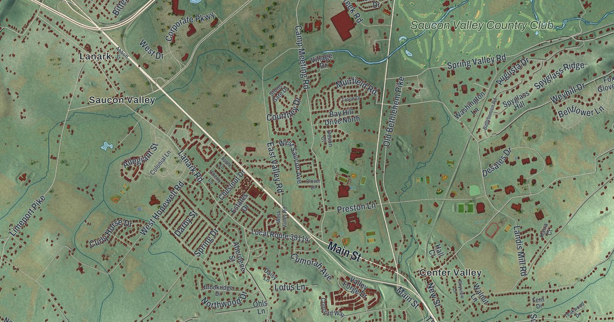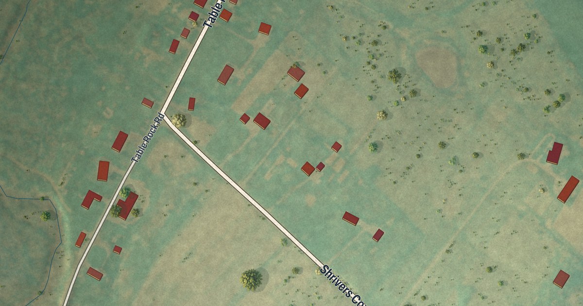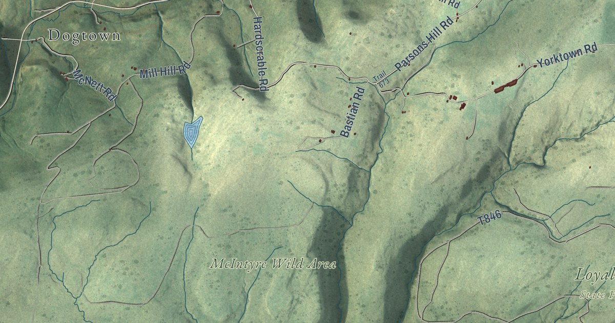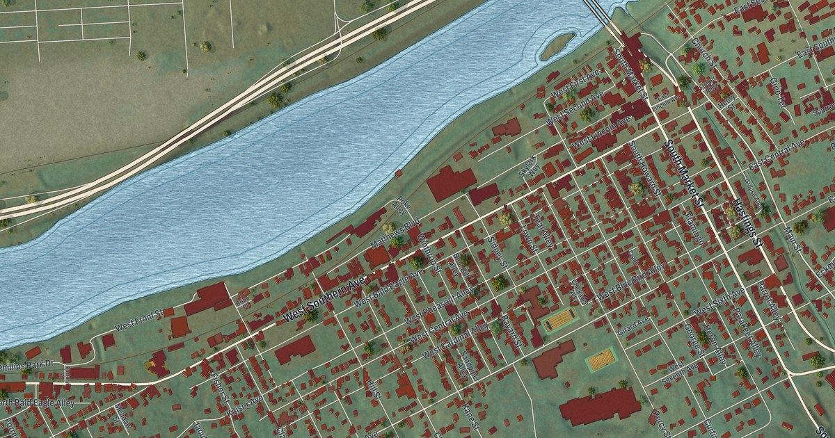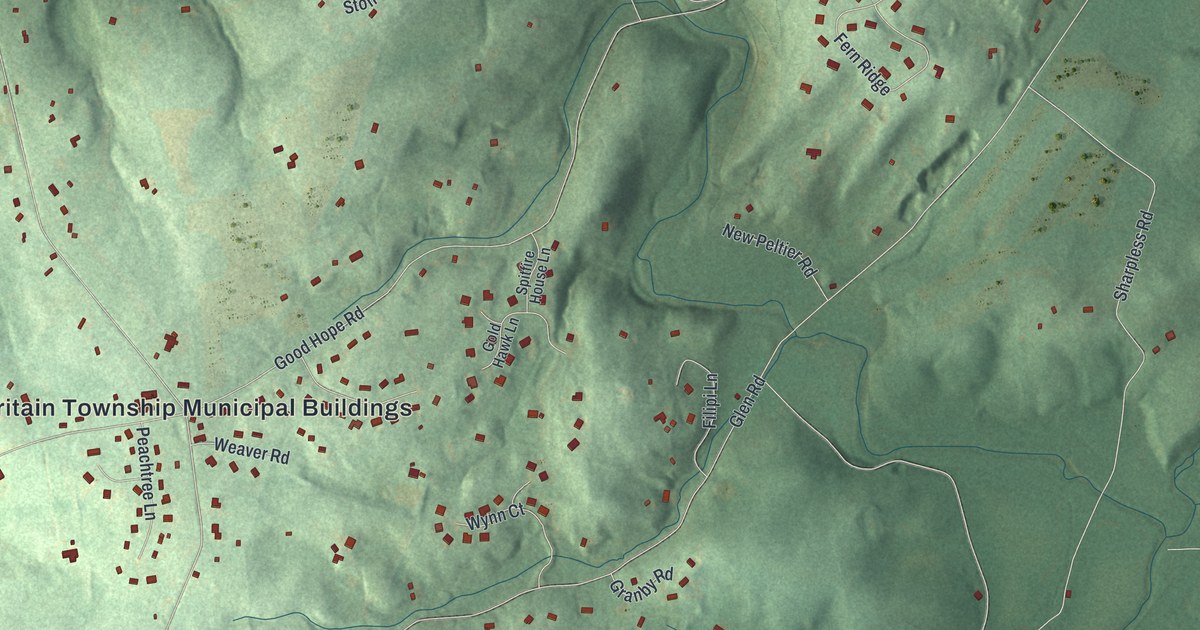
This beautifully detailed map of London Britain, Pennsylvania was created in 2026 using aerial imagery combined with modern topographical, census, street and landmark data. It’s a one-of-a-kind view of London Britain that combines accurate data with a vintage aesthetic. The map shows every building in its true location, many of the roads carry their names, and the shaded topographic relief shows the shape of the land.
Explore an aerial view of London Britain, Pennsylvania
On the map you’ll find London Britain Township Municipal Buildings, Nichols Park, and Strickersville, along with New London Road, State Road 896, Stricklersville Road, Mercer Mill Road, London Tract Road, Flint Hill Road, Good Hope Road, Indiantown Road, Southbank Road, and more. If you look closely you can even find your house accurately drawn in its correct location. Zoom in on the preview to look for yours.
Did you know this piece of London Britain, Pennsylvania history?
Welsh Baptists settled early in the southern part of London Britain and founded a church there. The oldest gravestone in its burial ground is dated 1729. John Evans, who came from Radnorshire in Wales about 1700, was a leader among them. His son, also named John, owned large tracts and mills on White Clay Creek. That’s from the 1881 History or Chester County, Pennsylvania.
Take a closer look at the London Britain map
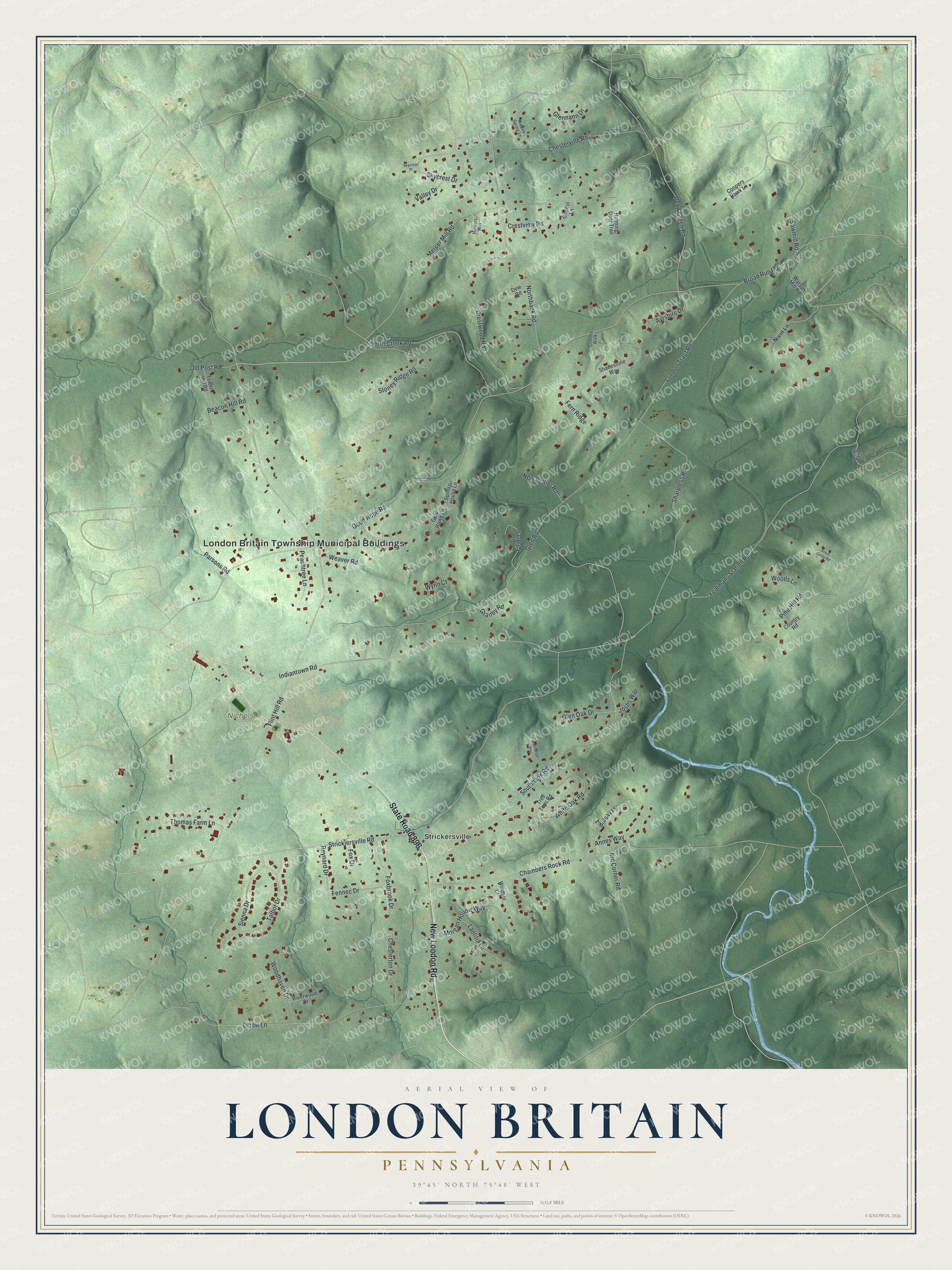
Street and place names on the London Britain, Pennsylvania map
These names are printed on the map of London Britain, Pennsylvania.
Places: London Britain Township Municipal Buildings, Nichols Park and Strickersville.
Streets and roads: New London Road, State Road 896, Stricklersville Road, Mercer Mill Road, London Tract Road, Flint Hill Road, Good Hope Road, Indiantown Road, Southbank Road, North Creek Road, Chambers Rock Road, Sharpless Road.
More street names, A to Z
Annes Way, Arc Corner Road, Ayrshire Drive, Beacon Hill Road, Bills Way, Broad Run Road, Chesterton Drive, Chesterville Road, Coopers Hawk Lane, Country Road, Country Walk, Crestview Road, Crestwood Road, Dew Road, Elbow Lane, Fennec Drive, Fern Ridge, Filipi Lane, Foxbrook Drive, Fox Drive, Gaebel Lane, Glennann Drive, Glen Oak Drive, Glen Road, Gold Hawk Lane, Granby Road, Great Circle Road, Hidden Spring Lane, Hunters Run, Joshs Way, Laetitia Lane, Morgan Hollow Way, New Peltier Road, Nivin Lane, Northbank Road, Old Post Road, Parsons Road, Peachtree Lane, Penn Green Road, Pine Hill Road, Quartz Mill Road, Reynard Drive, Riverwood Drive, Running Deer Trail, Sawmill Road, Shadestone Way, Sienna Drive, Skycrest Drive, Skycrest Place, Spitfire House Lane, Stoney Ridge Road, Talbot Drive, Thomas Farm Lane, Tower Hill Road, Tree Tops Road, Valley Drive, Watson Mill Road, Weaver Road, White Oak Road, Windsor Court, Woodcrest Way, Woodhaven Drive, Woods Lane, Wynn Court, Yeatmans Station Road.
See the London Britain, Pennsylvania map on a wall
The London Britain map as an 18 x 24 inch print in a black frame.

This beautifully detailed map of London Britain makes an attractive addition to your office, library, or den, and it can even be used to teach children the geography and history of the area. It also makes a great gift for anyone who grew up in London Britain or moved away. When you’re done exploring, click here to get your copy of the London Britain map.