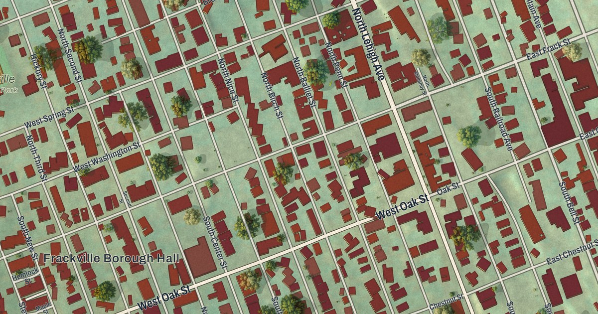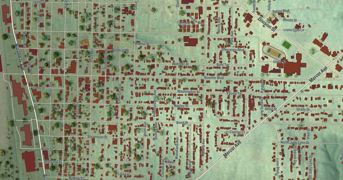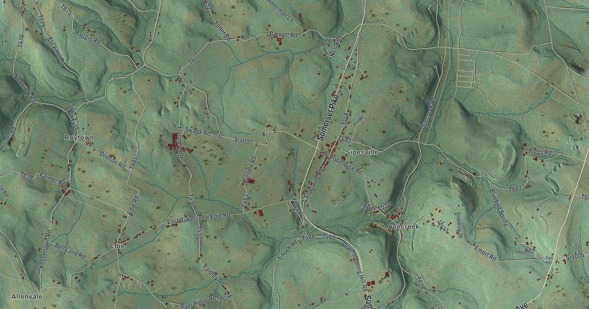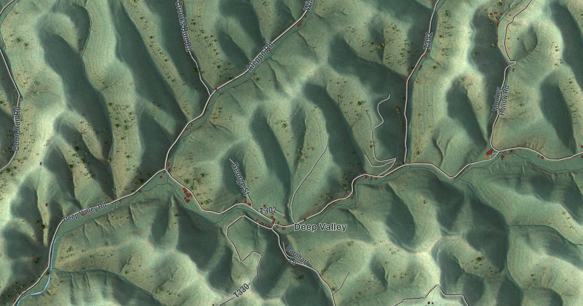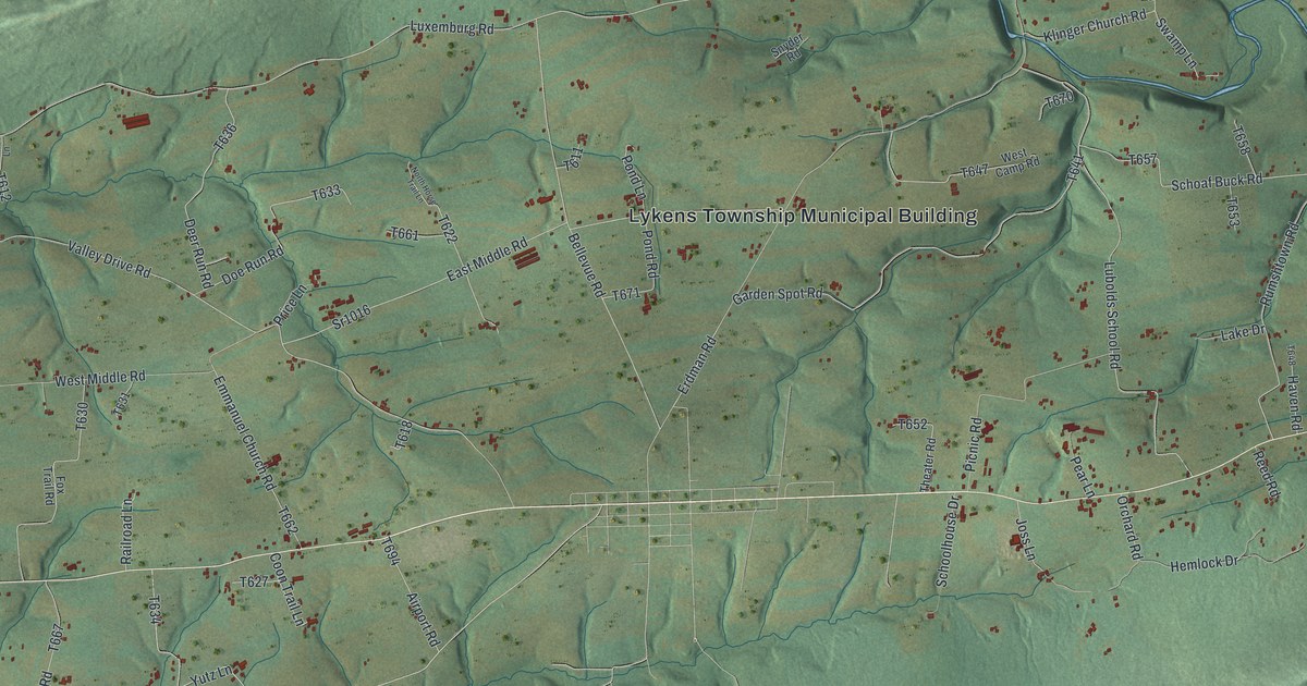
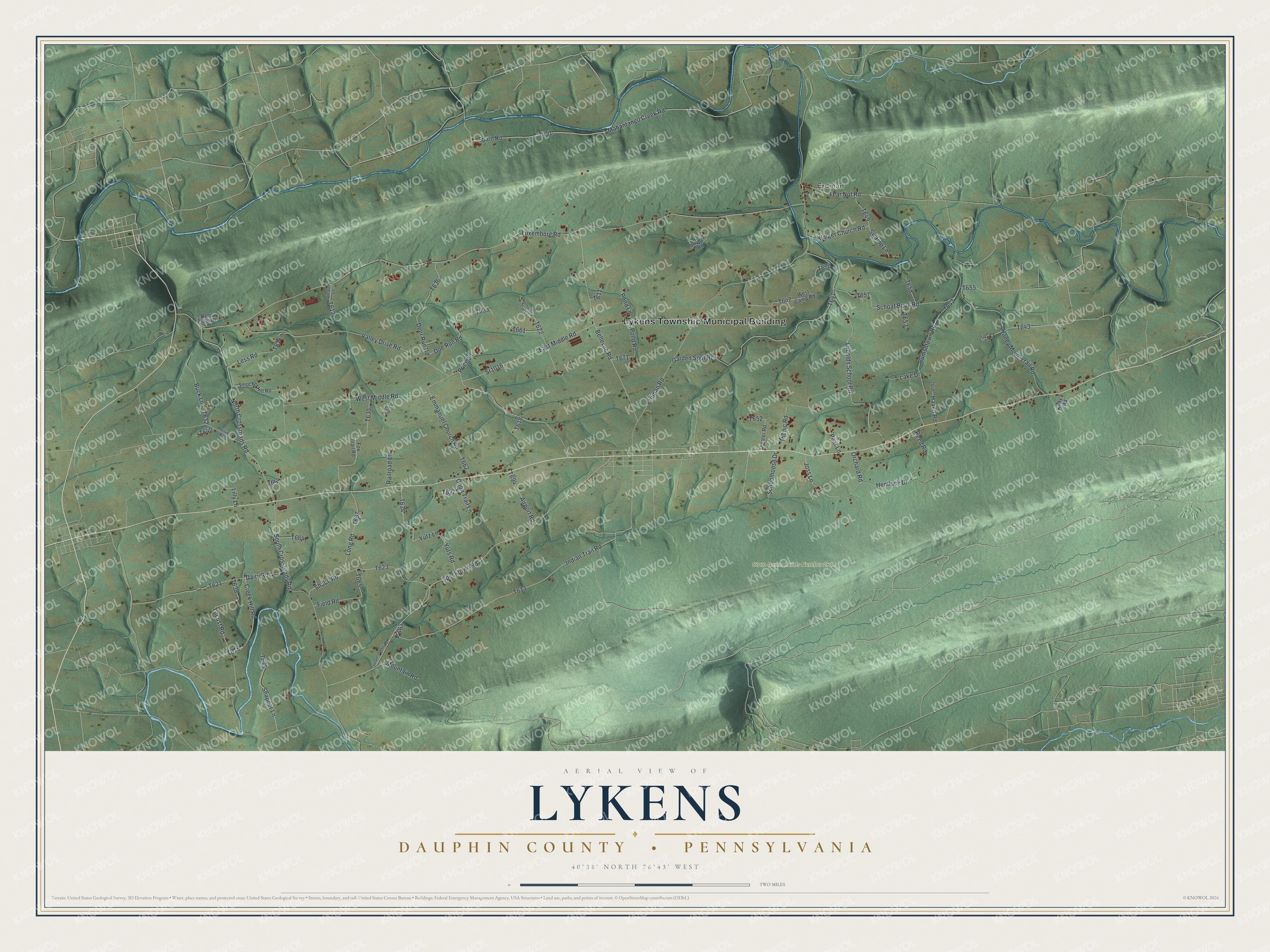
This beautifully detailed map of Lykens Township, Pennsylvania was created in 2026 using aerial imagery combined with modern topographical, census, street and landmark data. It's a modern aerial view of Lykens Township in Dauphin County, Pennsylvania, that combines modern data with a vintage aesthetic. The roads feature printed names, and if you look closely you can find your exact house accurately shown in its correct location.
Explore an aerial view of Lykens Township, Pennsylvania
On this map you'll find Lykens Township Municipal Building, Erdman, State Game Lands Number 264, Hemlock Drive, Specktown Road, Erdman Road, Schoolhouse Drive, T636, Luxemburg Road, Valley Drive Road, Spain Road, T651, and more. Each red shape is a building, so zoom in on the preview and look for yours.
Lykens Township is a place in Dauphin County. The Census Bureau counted 1,559 people here in 2020. The map prints the town name in its title panel, with the coordinates below it.
Take a closer look at the Lykens Township map
Names on this map
These names are printed on this map.
Places: Lykens Township Municipal Building, Erdman and State Game Lands Number 264.
Streets and roads: Hemlock Drive, Specktown Road, Erdman Road, Schoolhouse Drive, Luxemburg Road, Valley Drive Road, Spain Road, Mahantango Creek Road, West Middle Road, Lubolds School Road, East Middle Road, Sr1016.
More street names, A to Z
Airport Road, Bellevue Road, Buck Lane, Coon Trail Lane, Creek Hill Road, Dairy Road, Deep Creek Drive, Deer Run Road, Doe Run Road, Emmanuel Church Road, Farm Lane, Fear Not Road, Field Road, Fox Trail Road, Garden Spot Road, Haven Road, Honey Moon Trail Road, Indian Trail Road, Joss Lane, Kelly's Road, Klinger Church Road, Lake Drive, Less Road, Lilly Lane, Locust Road, Long Road, Mountain Road, North Crossroads Road, North Horse Trail Lane, Old Specktown Road, Orchard Road, Pear Lane, Phillips Road, Picnic Road, Pond Lane, Pond Road, Price Lane, Railroad Lane, Reed Road, Rumshtown Road, Schoaf Buck Road, Shade Road, Smucker Hill Road, Snapper Lane, Snyder Road, South Crossroads Road, Swamp Lane, Theater Road, Weaver Lane, West Camp Road, Yuts Road, Yutz Lane.
Created by KNOWOL in 2026. The buildings are small red shapes, the roads carry their printed names, and shaded relief shows the shape of the land. The title panel reads "AERIAL VIEW OF LYKENS DAUPHIN COUNTY • PENNSYLVANIA" with 4, 0, °, 3, 8, ', , N, O, R, T, H, , 7, 6, °, 4, 3, ', , W, E, S, T.
It suits a den, a classroom or a front hall, and it makes a gift for anyone with Lykens Township roots. Open the preview and find the block you know. See sizes and frames for the Lykens, Dauphin County map.