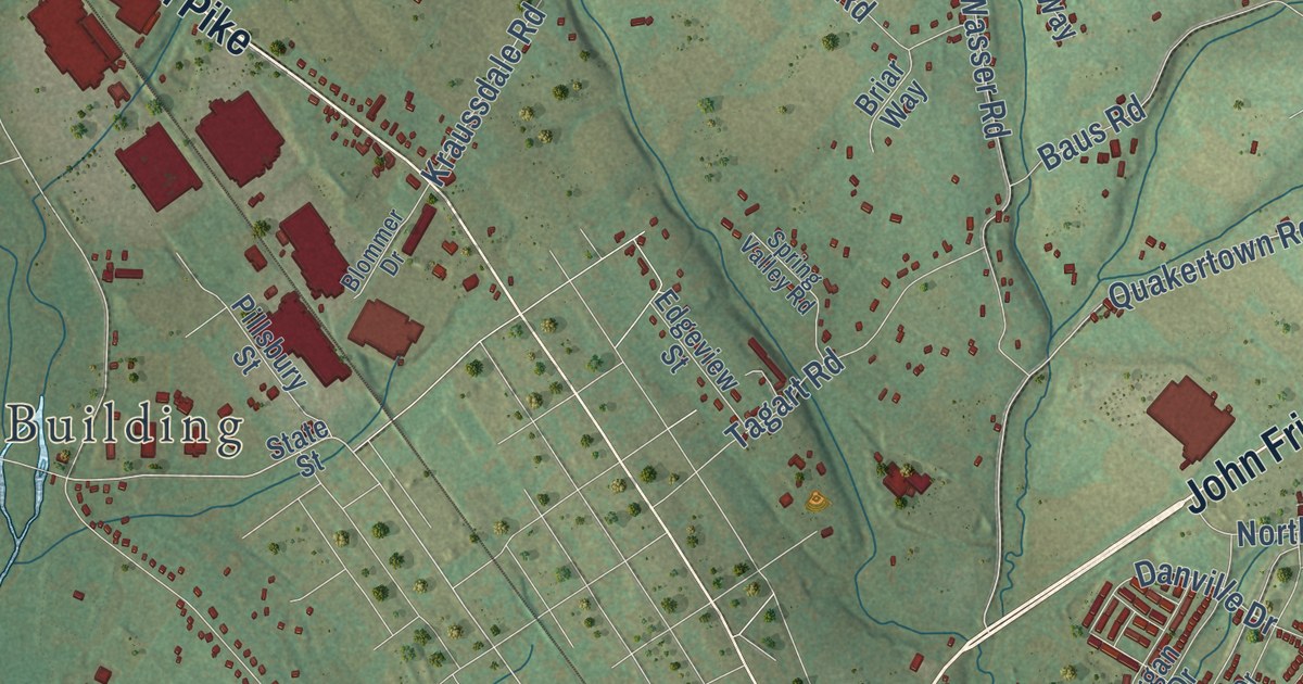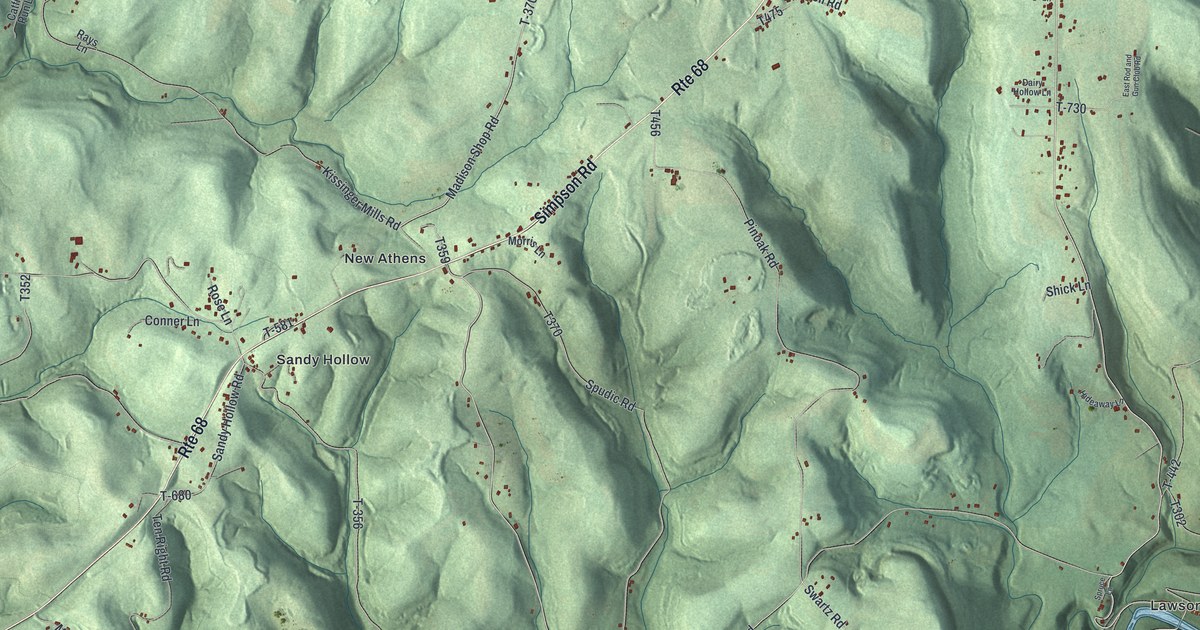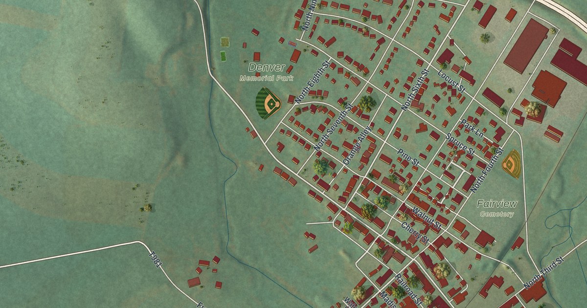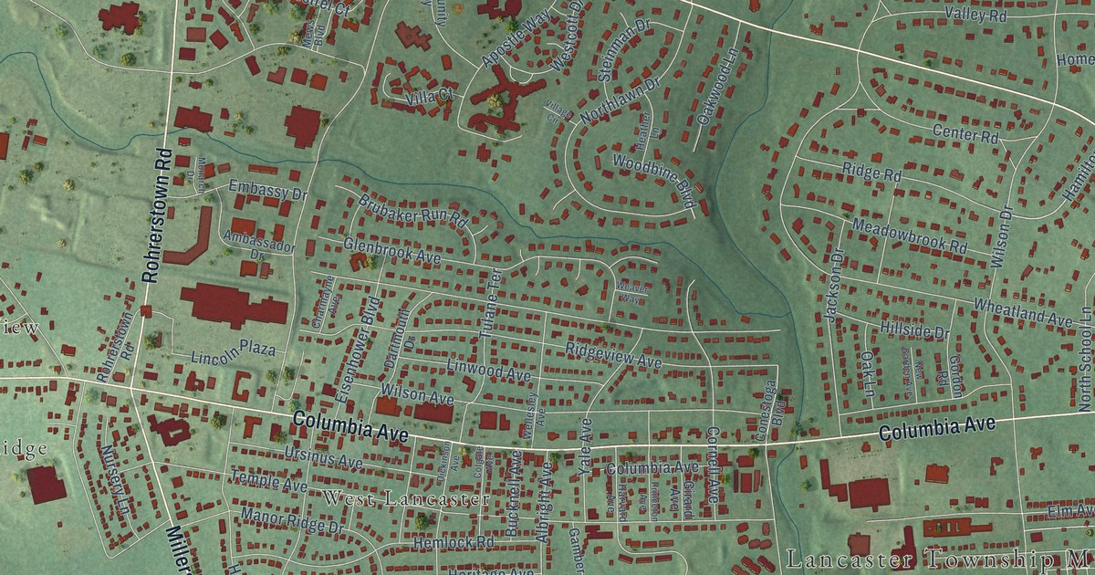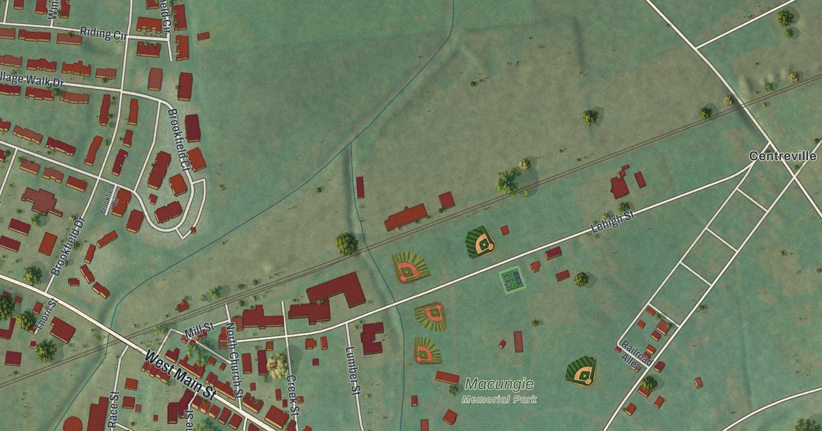
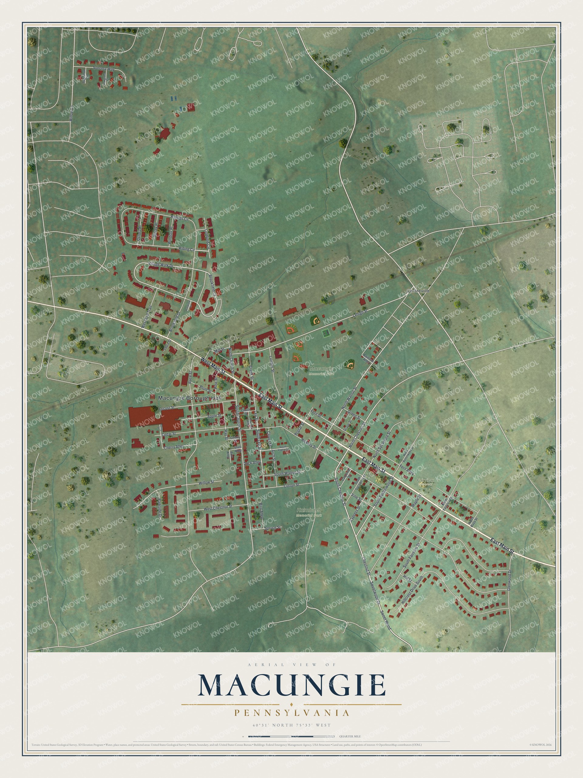
This beautifully detailed map of Macungie, Pennsylvania was created in 2026 using aerial imagery combined with modern topographical, census, street and landmark data. It’s a one-of-a-kind view of Macungie that combines accurate data with a vintage aesthetic. The map shows every building in its true location, many of the roads carry their names, and the shaded topographic relief shows the shape of the land.
Explore an aerial view of Macungie, Pennsylvania
On the map you’ll find Macungie Borough Hall, Kalmbach Memorial Park, Macungie Memorial Park, Fairview Cemetery, and Centreville, along with East Main Street, West Main Street, Sweetwood Drive, Chestnut Street, Lindfield Circle, South Chestnut Street, South Buttonwood Street, and more. If you look closely you can even find your house accurately drawn in its correct location. Zoom in on the preview to look for yours.
Did you know this piece of Macungie, Pennsylvania history?
Macungie’s name comes from Maguntsche, a Lenape word meaning bear swamp or feeding place of the bears. The borough seal shows a bear drinking near cattails. Peter Miller founded the town as Millerstown in 1776. It was renamed Macungie in 1875 to avoid confusion with Millerstown in Perry County.
Take a closer look at the Macungie map
Street and place names on the Macungie, Pennsylvania map
These names are printed on the map of Macungie, Pennsylvania.
Places: Macungie Borough Hall, Kalmbach Memorial Park, Macungie Memorial Park, Fairview Cemetery and Centreville.
Streets and roads: East Main Street, West Main Street, Sweetwood Drive, Chestnut Street, Lindfield Circle, South Chestnut Street, South Buttonwood Street, Sweet Wood, Brookfield Court, North Chestnut Street, Village Walk Drive, Lea Street.
More street names, A to Z
Apple Street, Arch Street, Bird Alley, Brookfield Circle, Brookfield Drive, Burr Alley, Carpenter Street, Cedar Street, Cherry Alley, Cherry Street, Clover Street, Coach Street, Cotton Street, Creek Street, Cypress Street, Dock Alley, Fern Alley, Fern Street, Glenwood Drive, Grape Street, Green Street, Hay Street, Hickory Street, Hillcrest Drive South, Hill Street, Lehigh Street, Locust Street, Lumber Street, Maple Street, Mill Street, Mountain Alley, North Buss Street, North Buttonwood Street, North Church Street, North Fairview Street, North Sycamore Street, North Walnut Street, Oxford Place, Parkside Drive, Pine Street, Plum Street, Poplar Street, Race Street, Railroad Alley, Riding Circle, Ridings Circle, Sawgrass Circle, Shell Alley, Sonoma Way, South Church Street, South Fairview Street, South Lea Street, South Poplar Street, South Sycamore Street, South Walnut Street, Spring Street, Spruce Street, Sugarloaf Circle, Surrey Place, Thorn Street, Vine Street, West Chestnut Street, West End Trail, Willow Lane, Willow Street, Windsor Place.
See the Macungie, Pennsylvania map on a wall
The Macungie map as an 18 x 24 inch print in a black frame.

This beautifully detailed map of Macungie makes an attractive addition to your office, library, or den, and it can even be used to teach children the geography and history of the area. It also makes a great gift for anyone who grew up in Macungie or moved away. When you’re done exploring, click here to get your copy of the Macungie map.