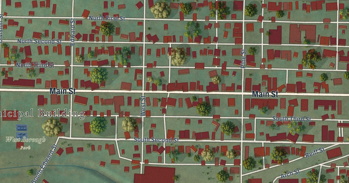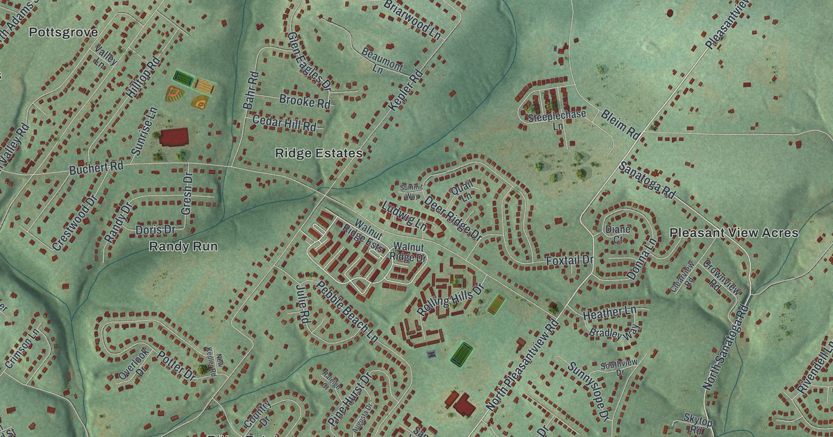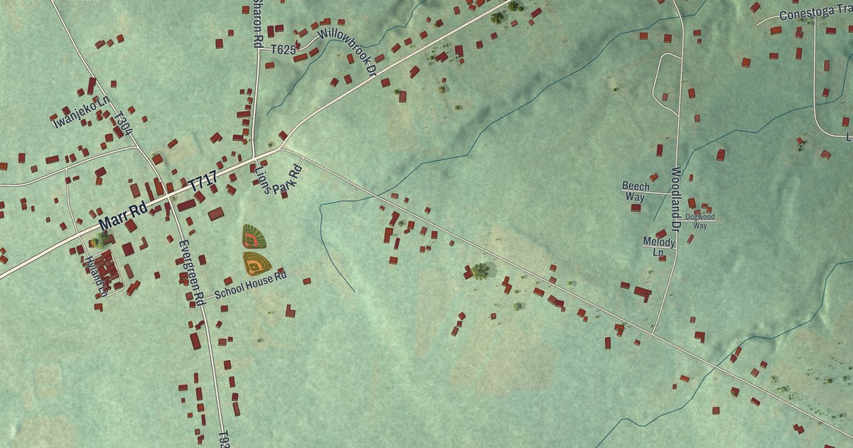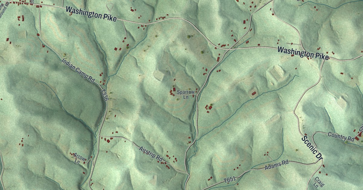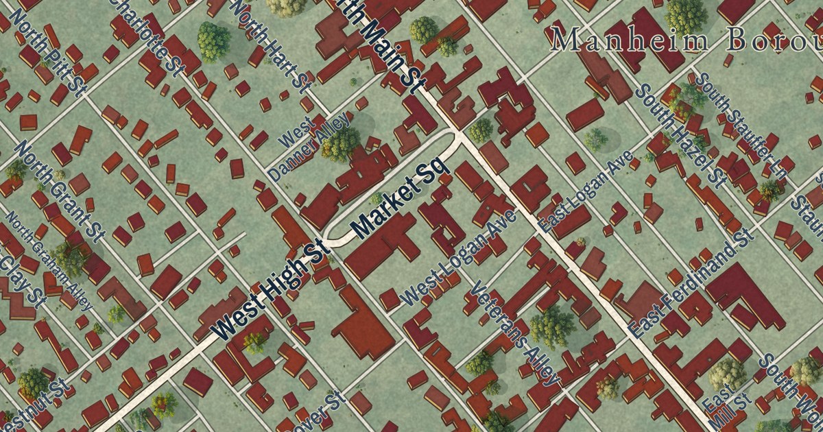
This beautifully detailed map of Manheim Borough, Lancaster County, Pennsylvania was created in 2026 using aerial imagery combined with modern topographical, census, street and landmark data. It’s a one-of-a-kind view of Manheim Borough that combines accurate data with a vintage aesthetic. The map shows every building in its true location, many of the roads carry their names, and the shaded topographic relief shows the shape of the land.
Explore an aerial view of Manheim Borough, Lancaster County, Pennsylvania
On the map you’ll find Manheim Borough Office, Logan Park, Veterans Memorial Park, Mummau Park, Baron Field, and Market Square, along with West High Street, South Main Street, North Main Street, New Charlotte Street, East High Street, South Cherry Street, and more. If you look closely you can even find your house accurately drawn in its correct location. Zoom in on the preview to look for yours.
Did you know this piece of Manheim Borough, Lancaster County, Pennsylvania history?
From the 1883 History of Lancaster County, Pennsylvania: "The first meeting of the Borough Council was held at the Central School-House, and the first committee appointed was a committee to examine into the condition of the roads and thoroughfares."
Take a closer look at the Manheim Borough, Lancaster County map
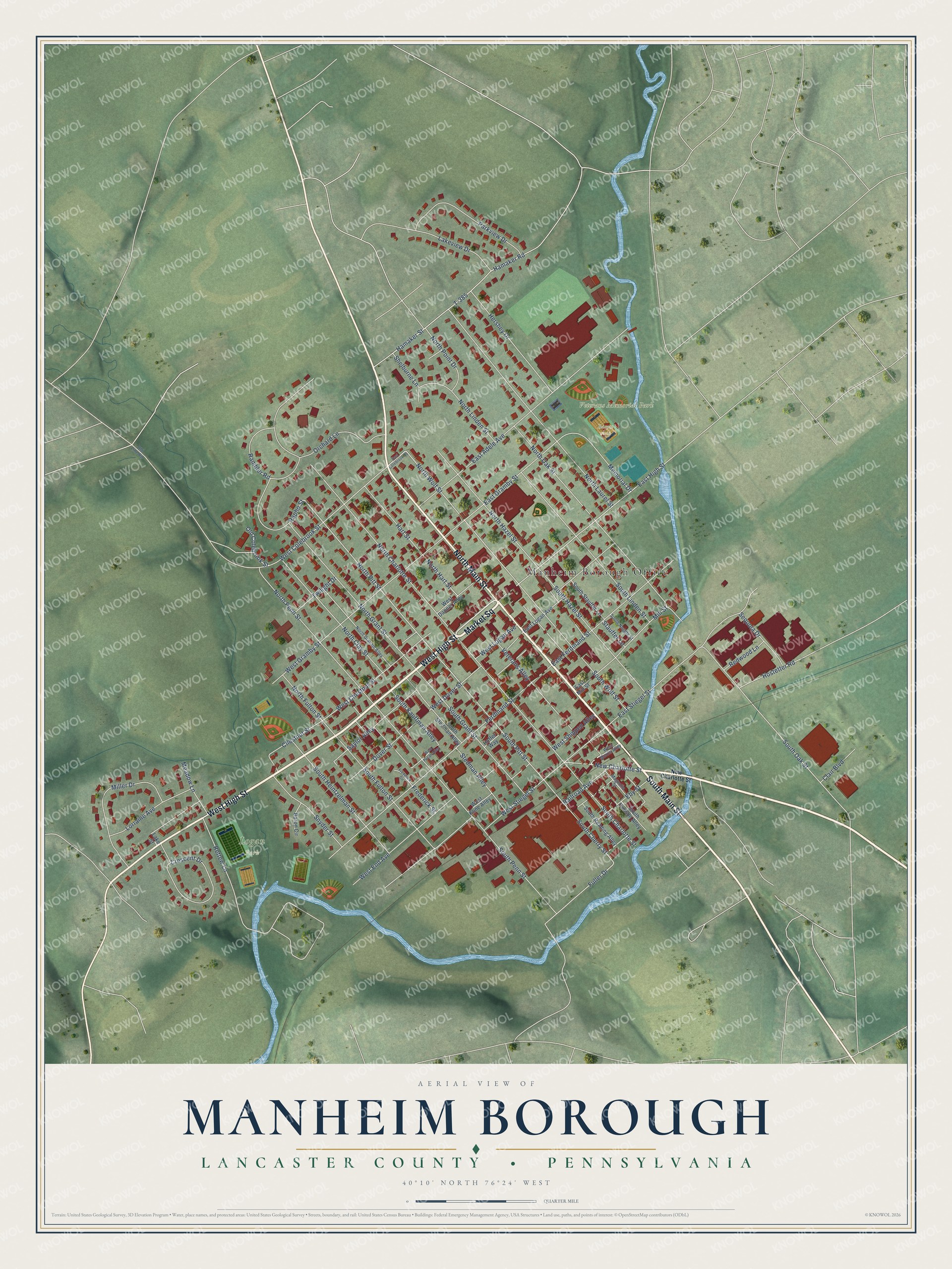
Street and place names on the Manheim Borough, Lancaster County, Pennsylvania map
These names are printed on the map of Manheim Borough, Lancaster County, Pennsylvania.
Places: Manheim Borough Office, Logan Park, Veterans Memorial Park and Baron Field.
Streets and roads: West High Street, Market Square, South Main Street, North Main Street, New Charlotte Street, East High Street, South Cherry Street, South Pitt Street, North Pitt Street, Fuller Drive, North Wolf Street, West Colebrook Street.
More street names, A to Z
Baron Circle, Chestnut Street, Clair Boulevard, Crescent Drive, Dover Street, East Adele Avenue, East Colebrook Street, East Ferdinand Street, East Gramby Street, East Logan Avenue, East Mill Street, East Stiegel Street, Eby Street, Ferdinand Street, Frederick Circle, Frederick Street, Hamaker Road, Hamaker Street, Hart Street, Hershey Drive, Hoffer Way, Hostetter Road, Lake Street, Lakeview Drive, Lorraine Avenue, Magnolia Street, Meadow Lane, Memorial Drive, Miller Drive, Mill Street, North Charlotte Street, North Clay Street, North Fulton Street, North Graham Alley, North Grant Street, North Hart Street, North Hazel Street, North Laurel Street, North Linden Street, North Oak Street, North Penn Street, North Point Drive, Old Colebrook Street, Old Line Road, Orchard Lane, Parkview Drive, Railroad Avenue, Rambler Road, Rapho Street, Redwood Lane, Rettew Lane, Saylor Alley, Sequoia Drive, Shelburne Lane, Snyder Street, South Charlotte Street, South Fulton Street, South Grant Street, South Hazel Street, South Heintzelman Street, South Hudson Alley, South Kauffman Alley, South Linden Street, South Noggle Street, South Oak Street, South Penn Street, South Reading Alley, South Stauffer Lane, South Stedman Alley, South Wolf Street, Stauffer Lane, Stedman Alley, T-385, Twilight Drive, Veterans Alley, West Chestnut Street, West Danner Alley, West Dover Street, West End Avenue, West Gramby Street, West Kline Alley, West Logan Avenue, West Morris Alley, West Pecan Alley, West Shippen Alley, West Stiegel Street.
See the Manheim Borough, Lancaster County, Pennsylvania map on a wall
The Manheim Borough, Lancaster County map as an 18 x 24 inch print in a black frame.

This beautifully detailed map of Borough of Manheim, Lancaster County makes an attractive addition to your office, library, or den, and it can even be used to teach children the geography and history of the area. It also makes a great gift for someone who left Manheim Borough and still calls it home. When you’re done exploring, click here to get your copy of the Borough of Manheim, Lancaster County map.