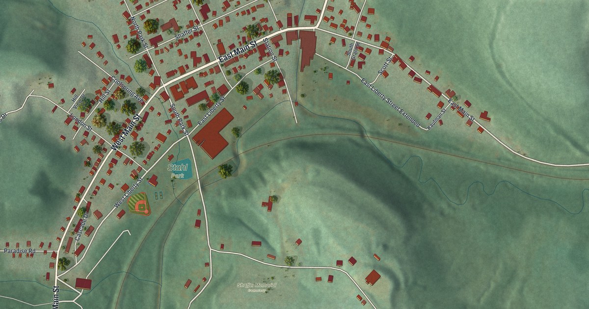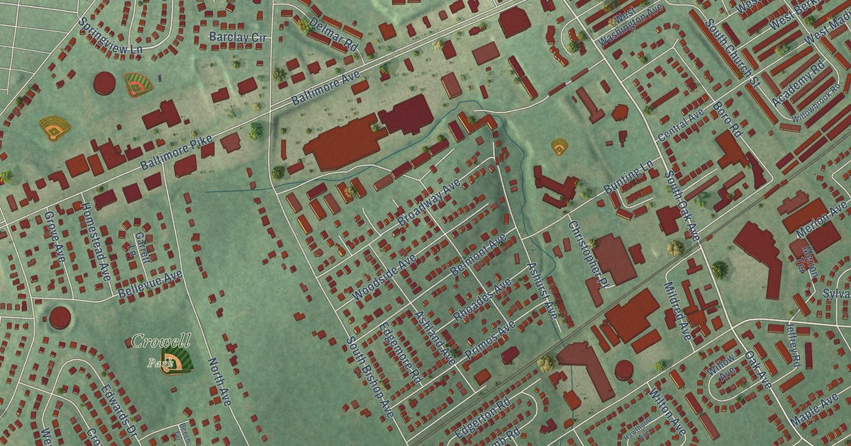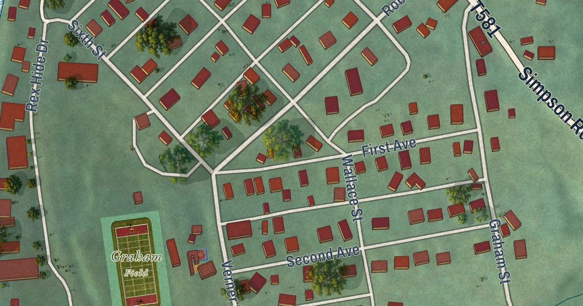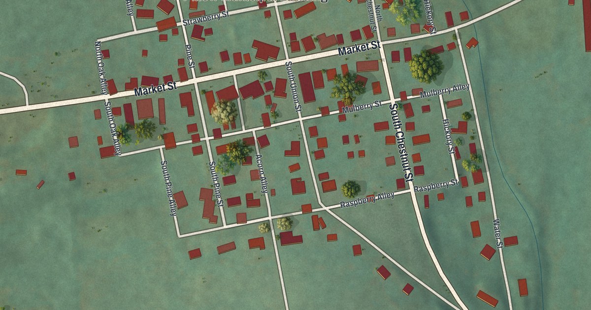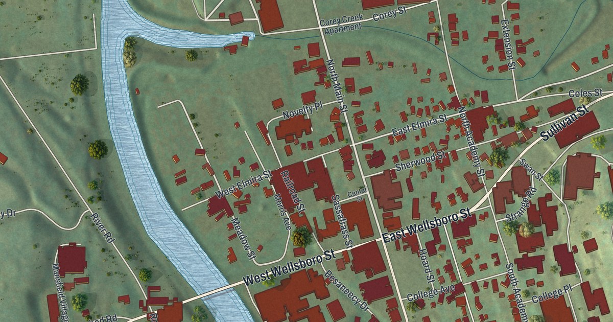
This beautifully detailed map of Mansfield, Pennsylvania was created in 2026 using aerial imagery combined with modern topographical, census, street and landmark data. It’s a one-of-a-kind view of Mansfield that combines accurate data with a vintage aesthetic. The map shows every building in its true location, many of the roads carry their names, and the shaded topographic relief shows the shape of the land.
Explore an aerial view of Mansfield, Pennsylvania
On the map you’ll find Paisley, Northeast, Northwest, College, River West, Smyth Park, and Oakwood Cemetery, along with East Wellsboro Street, South Main Street, West Wellsboro Street, Sullivan Street, North Main Street, and more. If you look closely you can even find your house accurately drawn in its correct location. Zoom in on the preview to look for yours.
Did you know this piece of Mansfield, Pennsylvania history?
Mansfield began with Asa Mann, an English settler from Rhode Island. In 1800 he cleared a big tract of forest, and four years later laid out a town on the estate, called Mann’s field. In 1857 the borough was incorporated and the school now known as Mansfield University was founded.
Take a closer look at the Mansfield map
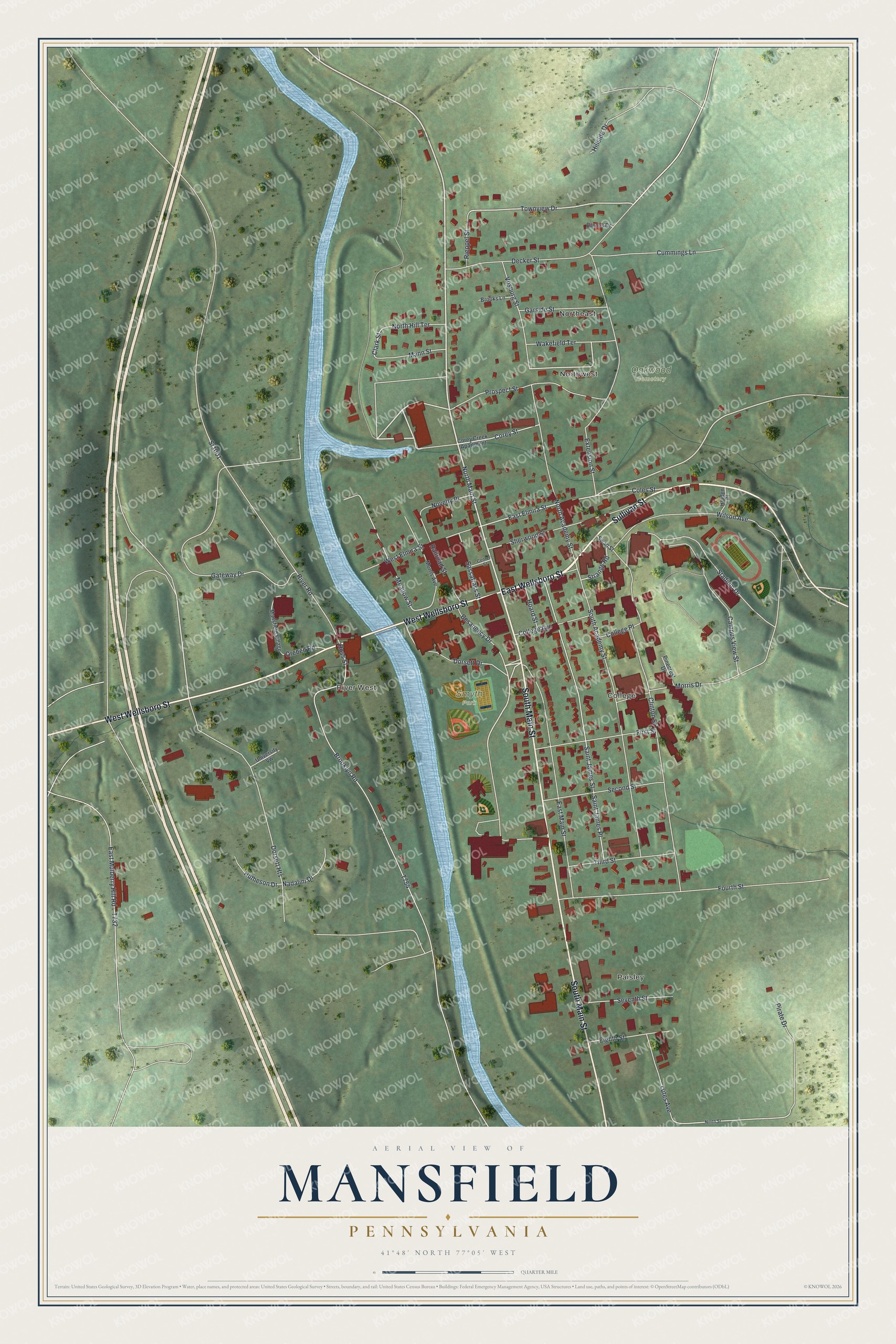
Street and place names on the Mansfield, Pennsylvania map
These names are printed on the map of Mansfield, Pennsylvania.
Places: Paisley, Northeast, Northwest, College, River West, Smyth Park and Oakwood Cemetery.
Streets and roads: East Wellsboro Street, South Main Street, West Wellsboro Street, Sullivan Street, North Main Street, Townview Drive, Dorsett Drive, Wakefield Terrace, East Elmira Street, Meadow Street, Clark Street, Ross Street.
More street names, A to Z
Barnes Drive, Besaneecy Drive, Brooklyn Road, Brooks Lane, Campus View Street, Center Street, Clinton Street, Coles Street, College Avenue, College Place, Corey Creek Apartment, Corey Street, Cummings Lane, Decker Street, Dorsett Heights, East Main Street, East Mulberry Hill Road, Eighth Street, Extension Street, First Street, Fourth Street, Garside Street, Gateway Drive, Hillside Drive, Hoard Street, Holden Place, Hutheson Drive, Lutes Avenue, Mann Street, Mansfield Village, Morris Avenue, Morris Drive, Nadalini Drive, Ninth Street, North Academy Street, North Hill Terrace, Novelty Place, Orebed Road, Pinecrest Drive, Pirate Drive, Prospect Street, Railroad Street, Rieppel Street, River Road, Saint James Place, Saint James Street, Sassafrass Street, Second Street, Seventh Street, Sherwood Street, South Academy Street, Sr1001, Stadium Drive, Strange Road, Swan Street, Third Street, University Vw, Vosburg Street, West Elmira Street, Wilson Avenue.
See the Mansfield, Pennsylvania map on a wall
The Mansfield map as an 18 x 24 inch print in a black frame.

This beautifully detailed map of Mansfield makes an attractive addition to your office, library, or den, and it can even be used to teach children the geography and history of the area. It also makes a great gift for anyone with Mansfield roots. When you’re done exploring, click here to get your copy of the Mansfield map.