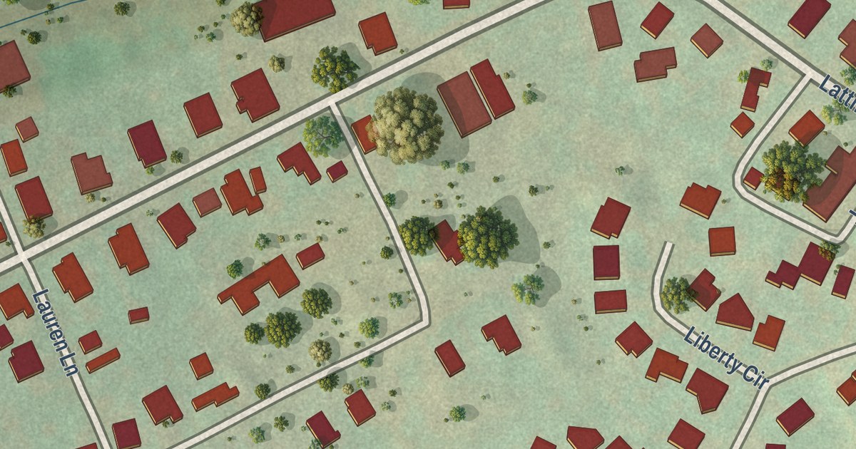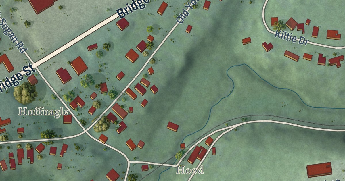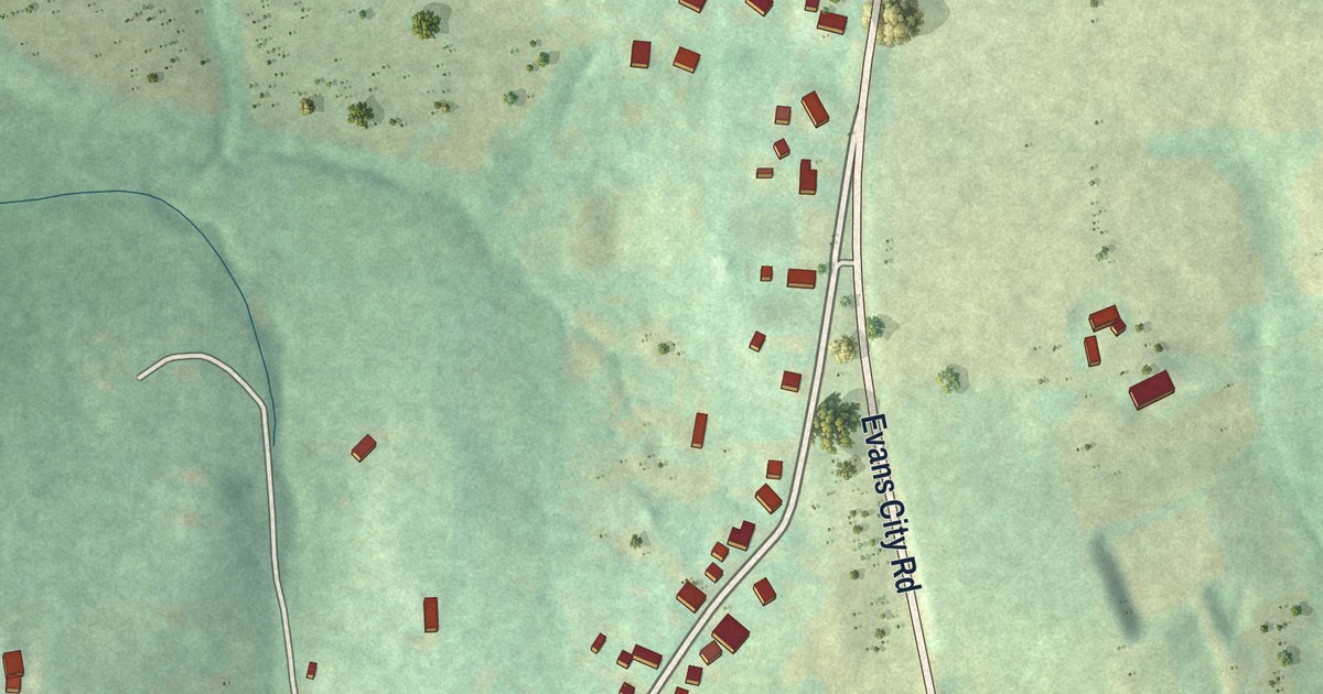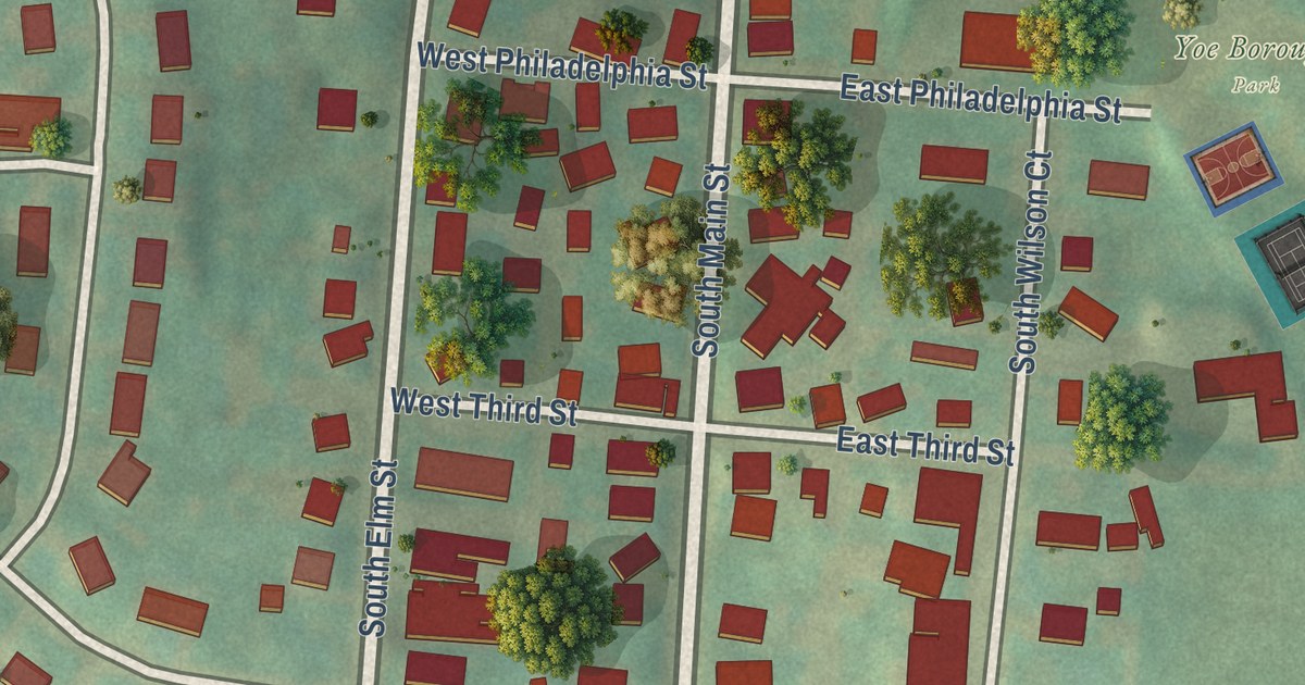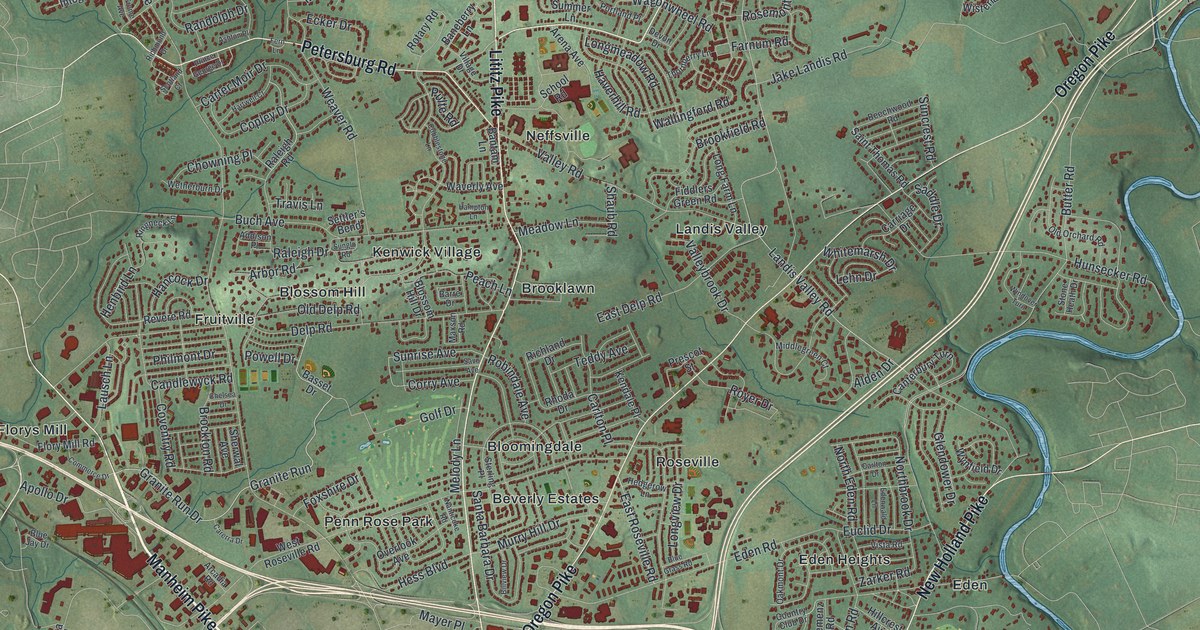
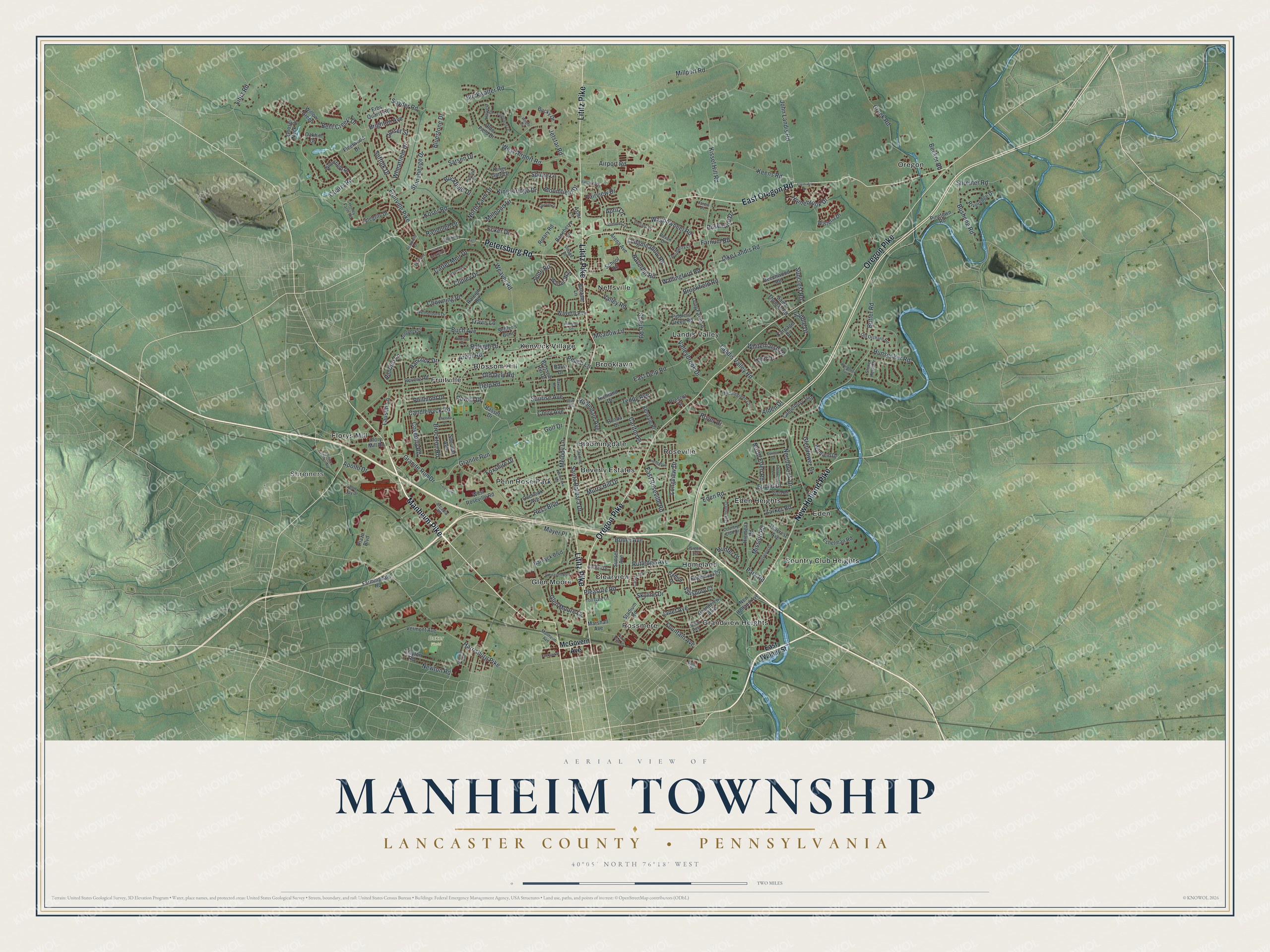
This beautifully detailed map of Manheim Township, Lancaster County, Pennsylvania was created in 2026 using aerial imagery combined with modern topographical, census, street and landmark data. It’s a one-of-a-kind view of Manheim Township that combines accurate data with a vintage aesthetic. The map shows every building in its true location, many of the roads carry their names, and the shaded topographic relief shows the shape of the land.
Explore an aerial view of Manheim Township, Lancaster County, Pennsylvania
On the map you’ll find Shreiners, Baker Field, Beverly Estates, Bloomingdale, Blossom Hill, Brooklawn, Clearview, Country Club Heights, Eden, Eden Heights, Florys Mill, Fruitville, and more. If you look closely you can even find your house accurately drawn in its correct location. Zoom in on the preview to look for yours.
Did you know this piece of Manheim Township, Lancaster County, Pennsylvania history?
From Data.pa.gov: "Family was prominent in many early enterprises, including the Philadelphia-Lancaster Turnpike (1792), bridge over the Conestoga (1800), and first Columbia-Wrightsville bridge (1812)."
Take a closer look at the Manheim Township, Lancaster County map
Street and place names on the Manheim Township, Lancaster County, Pennsylvania map
These names are printed on the map of Manheim Township, Lancaster County, Pennsylvania.
Places: Shreiners, Baker Field, Oregon, Landis Valley, Rossmere, Eden Heights, Brooklawn, Fruitville, Penn Rose Park, Homeland, Neffsville, Country Club Heights, Glen Moore, Blossom Hill, Kenwick Village, Clearview, Grandview Heights, Roseville, Florys Mill, Beverly Estates, Bloomingdale and Eden.
Streets and roads: Manheim Pike, Lititz Pike, New Holland Pike, East Oregon Road, Oregon Pike, Petersburg Road, Granite Run Drive, Granite Run, Bent Creek Drive, Kissel Hill Road, Creek Road, Butter Road.
More street names, A to Z
Addison Place, Airport Road, Alden Drive, Apollo Drive, April Lane, Arbor Road, Arcadia Road, Arena Avenue, Ashton Place, Aster Lane, Balwyck Boulevard, Baneberry Lane, Bantam Lane, Barre Drive, Basset Drive, Becker Road, Beechwood Road, Bloomfield Drive, Blossom Hill Drive, Blue Jay Drive, Bluestone Drive, Brighton Avenue, Brockton Road, Brookfield Road, Buch Avenue, Buckfield Drive, Buckwalter Road, Bucky Drive, Bushong Road, Butler Avenue, Calvary Drive, Candlewyck Road, Canterbury Turn, Carerra Drive, Carlton Drive, Carlton Place, Carriage Drive, Carter Moir Drive, Chelsea Drive, Chowning Place, Clayton Road, Clematis Drive, Copley Drive, Corry Avenue, Country Club Drive, Coventry Road, Delp Road, Devon Drive, Dorset Street, East Delp Road, East Roseville Road, East Walnut Street, Ecker Drive, Eden Road, Edenwald Lane, Edgemoor Court, Erbs Quarry Road, Eshelman Road, Euclid Drive, Fairview Drive, Farmingdale Road, Farmstead Lane, Farnum Road, Fern Lane, Fiddlers Green Road, Fieldcrest Place, Fleetwood Drive, Flory Mill Road, Fountain Avenue, Foxshire Drive, Fruitville Pike, Glendower Drive, Glen Moore Circle, Golf Drive, Goose Neck Drive, Grandview Boulevard, Green Terrace, Hampton Lane, Hancock Drive, Harrisburg Pike, Hartwell Court, Harvest Drive, Haskell Drive, Haverhill Road, Hedgerow Lane, Helen Avenue, Henbird Lane, Hess Boulevard, Hiemenz Road, Hillcrest Avenue, Hollywood Drive, Homebrook Drive, Honey Farm Road, Hunsecker Road, Hunter Drive, Integrity Drive, Jackson Street, Jake Landis Road, Janet Avenue, Jared Place, Jetstar Road, John Landis Road, Keens Road, Kendale Place, Kingsbridge Drive, Kings Gate Drive, Koser Road, Landis Valley Road, Lausch Lane, Lehn Drive, Lititz Road, Long Farm Lane, Longmeadow Road, Longview Drive, Manheim Avenue, Marshall Avenue, Maxson Road, Mayer Place, McGovern Avenue, Meadow Lane, Melody Lane, Middlegreen Court, Millpond Drive, Millport Road, Mission Road, Murry Hill Drive, Nanticoke Road, New Holland Avenue, Newton Road, Northbrook Drive, North Eden Road, North Farm Drive, North Plum Street, Oakhill Drive, Oakmont Drive, Old Delp Road, Olde Field Drive, Old Orchard Road, Overlook Avenue, Oxford Drive, Park Road, Peach Lane, Philmont Drive, Pinetown Road, Plaza Boulevard, Pleasure Road, Portland Place, Powell Drive, Prescot Street, Prince George Drive, Pulte Road, Quarry Road, Raleigh Drive, Raleigh Road, Randolph Drive, Revere Road, Rhoda Drive, Richland Drive, Richmond Drive, Ringneck Lane, Riveredge Drive, Robindale Avenue, Roosevelt Boulevard, Rosemont Drive, Ross Street, Rotary Road, Royer Drive, Rumford Road, Rutledge Avenue, Saddle Drive, Saint Thomas Road, Salisbury Court, Santa Barbara Drive, Sarsen Drive, Savo Avenue, School Road, Scotland Court, Settler's Bend, Shaub Road, Sherwal Avenue, Shreiner Avenue, Shreiner Road, Shreiner Station Road, Skyline Drive, Snyder Road, Spurrier Drive, Squire Lane, Stadium Road, Sterling Place, Stone Heath Drive, Stonehenge Drive, Suffolk Drive, Summer Lane, Suncrest Road, Sunrise Avenue, Sunset Avenue, Teddy Avenue, Thornberry Lane, Toll Gate Lane, Travis Lane, Valleybrook Drive, Valley Road, Vermont Avenue, Village Drive, Vista Road, Wagonwheel Road, Wallingford Road, Warren Way, Waverly Avenue, Weaver Road, West Airport Road, West Roseville Road, Wetherburn Drive, Wheatfield Drive, Whitemarsh Drive, Willow Green, Windover Turn, Wisteria Drive, Woodfield Drive, Wright Avenue, Wynfield Drive, Zarker Road.
See the Manheim Township, Lancaster County, Pennsylvania map on a wall
The Manheim Township, Lancaster County map as an 18 x 24 inch print in a black frame.

This beautifully detailed map of Manheim, Lancaster County makes an attractive addition to your office, library, or den, and it can even be used to teach children the geography and history of the area. It also makes a great gift for anyone with Manheim Township roots. When you’re done exploring, click here to get your copy of the Manheim, Lancaster County map.