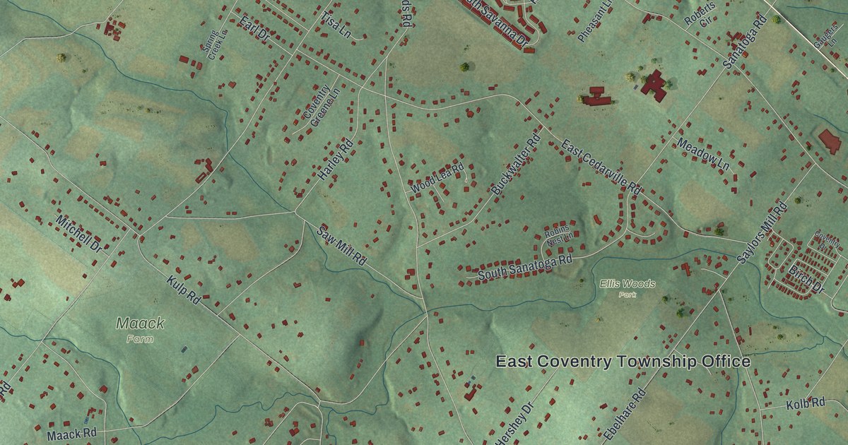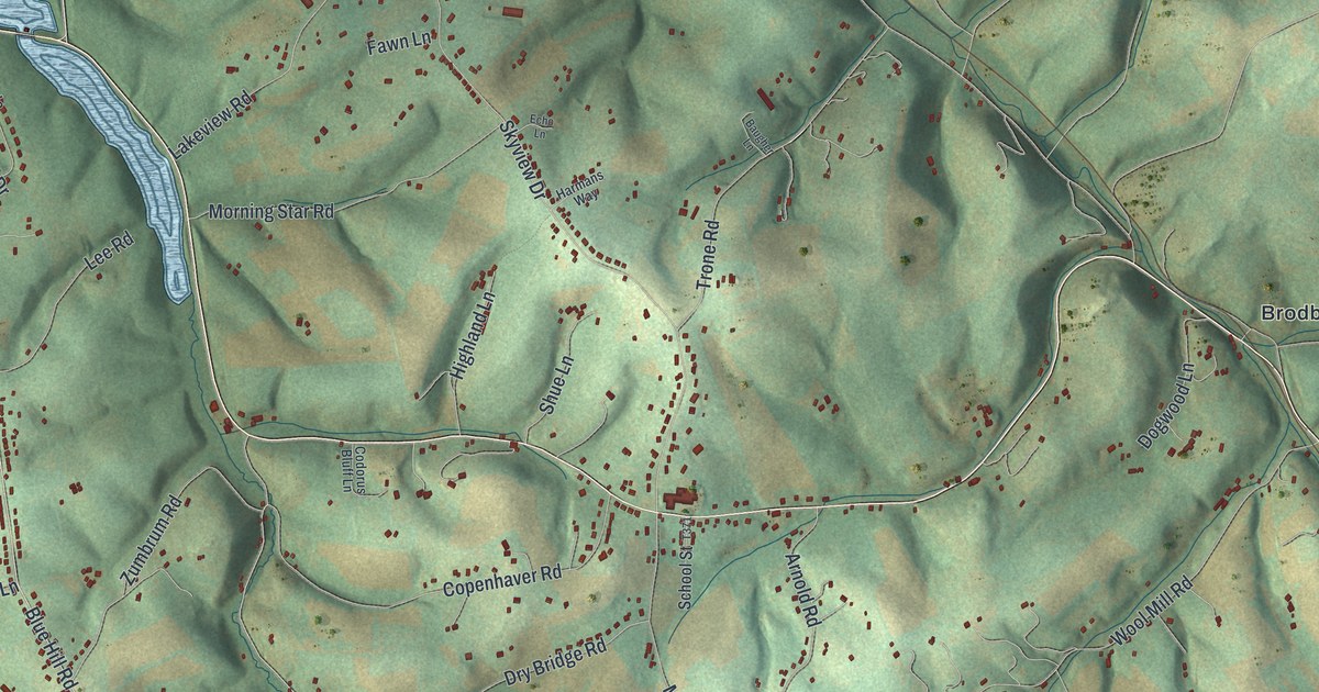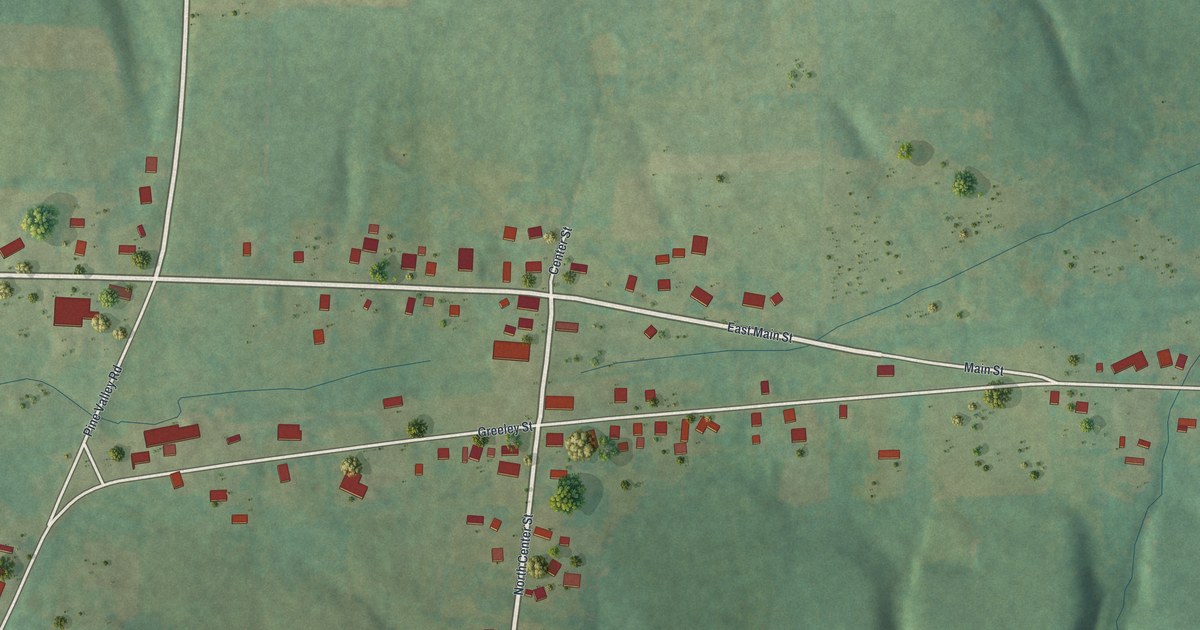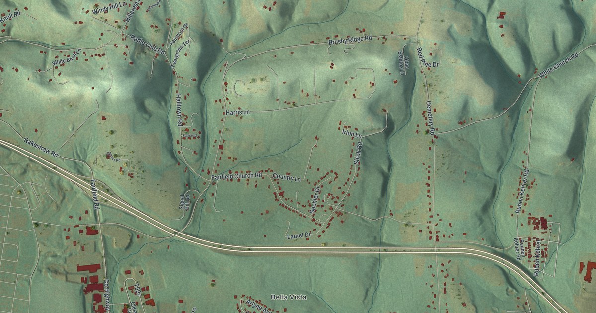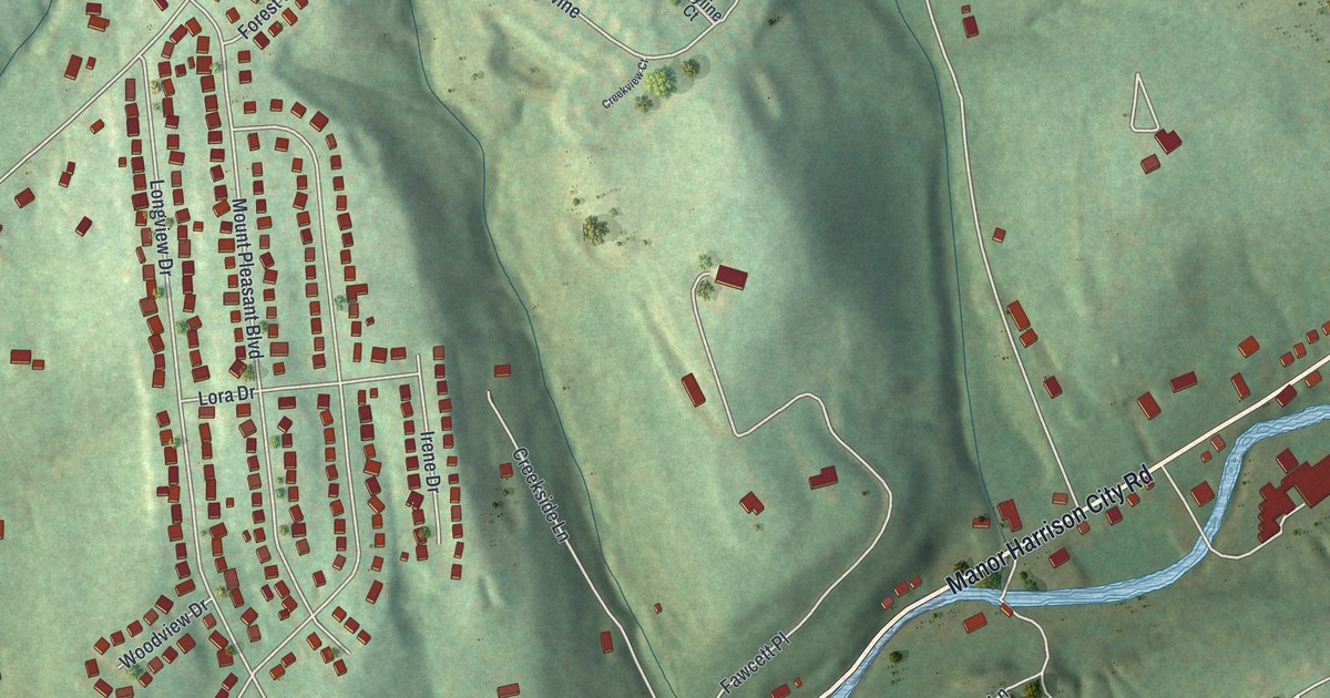
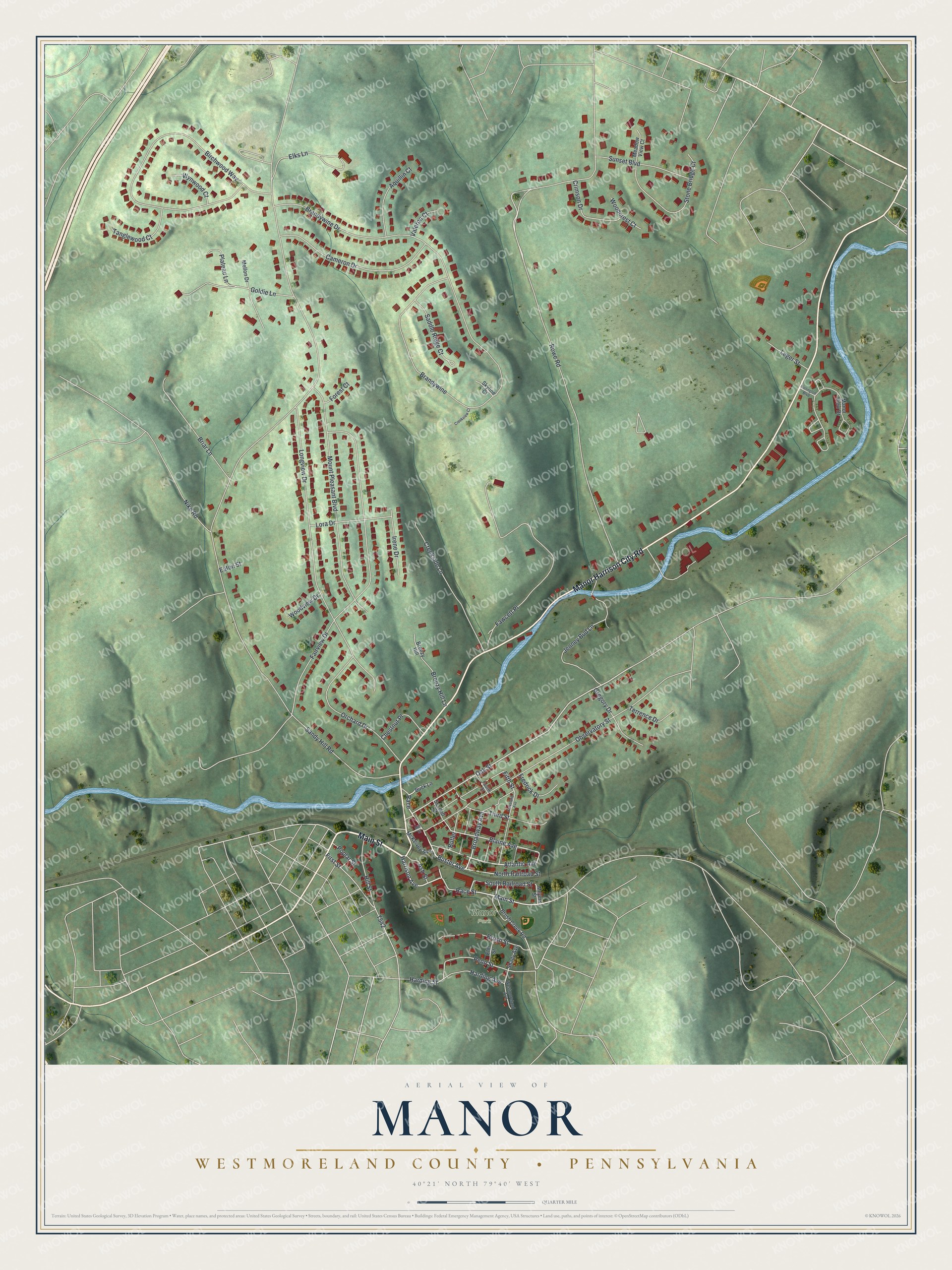
This beautifully detailed map of Manor, Westmoreland County, Pennsylvania was created in 2026 using aerial imagery combined with modern topographical, census, street and landmark data. It’s a one-of-a-kind view of Manor that combines accurate data with a vintage aesthetic. The map shows every building in its true location, many of the roads carry their names, and the shaded topographic relief shows the shape of the land.
Explore an aerial view of Manor, Westmoreland County, Pennsylvania
On the map you’ll find Manor Park and Race, along with Main Street, Manor Harrison City Road, Race Street, North Railroad Street, Buster Avenue, Atlantic Avenue, Broadway Avenue, Oak Street, Blaine Avenue, Harrison Avenue, and more. If you look closely you can even find your house accurately drawn in its correct location. Zoom in on the preview to look for yours.
Did you know this about Manor, Westmoreland County, Pennsylvania?
From the Borough of Manor: "The railroad still runs through Manor carrying freight via Norfolk Southern. The railroad depot has long been torn down, and in its place is the Manor Borough Office, Manor Community Room, Manor Public Library, and Manor VFD."
Take a closer look at the Manor, Westmoreland County map
Street and place names on the Manor, Westmoreland County, Pennsylvania map
These names are printed on the map of Manor, Westmoreland County, Pennsylvania.
Places: Manor Park.
Streets and roads: Main Street, Manor Harrison City Road, Race Street, North Railroad Street, Buster Avenue, Race, Atlantic Avenue, Broadway Avenue, Oak Street, Blaine Avenue, Harrison Avenue, South Railroad Street.
More street names, A to Z
Aquillin Court, Ash Street, Birchwood Way, Brandywine, Brandywine Drive, Breezy Hill, Breezy Hill Lane, Briar Lane, Brush Creek Road, Brush Street, Buck Lane, Burlington Boulevard, Butler, Cameron Drive, Chestnut Place, Cleveland Avenue, Creekside Lane, Creekview Court, Crimson Drive, Eaton Street, Elks Lane, Elm Street, Fairview Drive, Fawcett Place, Fifth Street, First Street, Forest Court, Fourth Street, Fredrick Drive, Goldie Lane, Gregory Drive, Harding Avenue, Harding Street, Hill Street, Irene Drive, Jenney Bud Lane, Leger Street, Longview Drive, Lora Drive, Manor View Drive, McKeivey Avenue, Meadow View Court, Mellon Drive, Meyers Street, Mill Street, Mount Pleasant Boulevard, Nike Road, Observatory Street, Orchard Drive, Penn Street, Plateau Lane, Poplar Street, Rowe Road, Saddle Ridge Court, Sandy Hill Road, Second Street, Shady Avenue, Skyline Court, Stone Bridge Court, Sunset Boulevard, Tanglewood Court, Terrence Drive, Third Street, Valeron Court, Westmoreland Avenue, Woodcrest Court, Woodview Drive, Wynwood Court.
See the Manor, Westmoreland County, Pennsylvania map on a wall
The Manor, Westmoreland County map as an 18 x 24 inch print in a black frame.

This beautifully detailed map of Manor, Westmoreland County makes an attractive addition to your office, library, or den, and it can even be used to teach children the geography and history of the area. It also makes a great gift for someone who left Manor and still calls it home. When you’re done exploring, click here to get your copy of the Manor, Westmoreland County map.