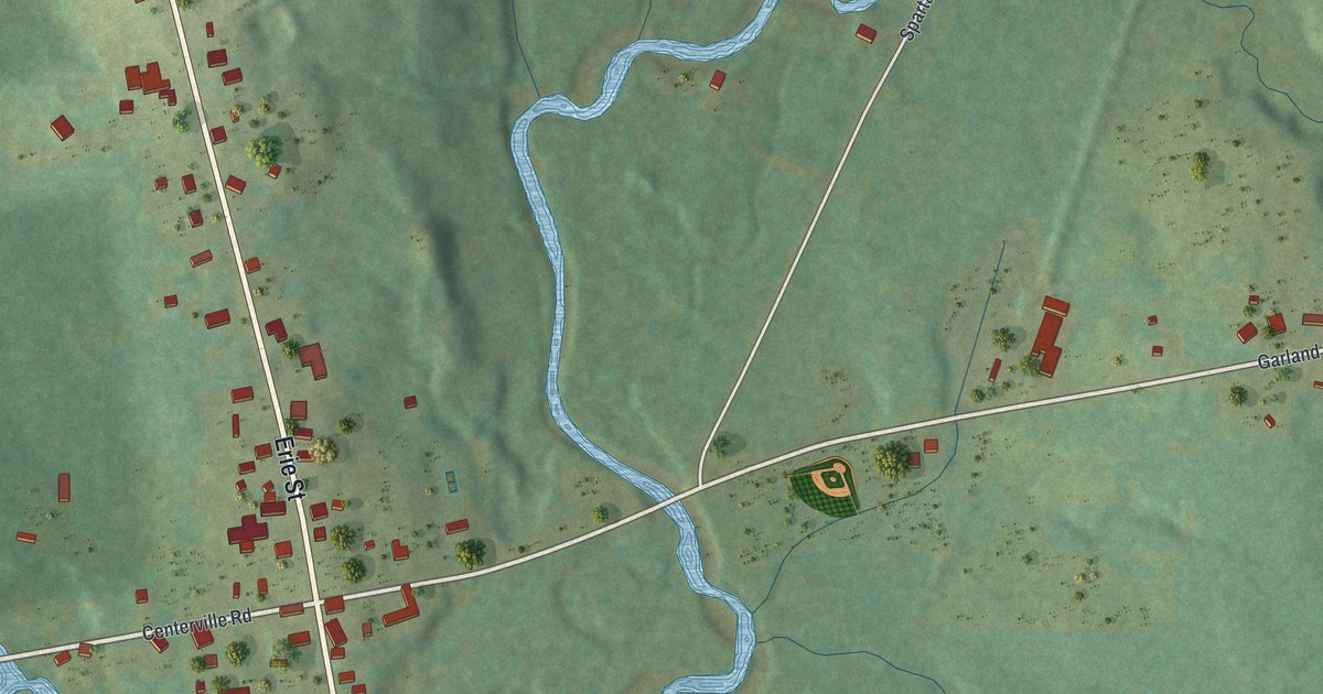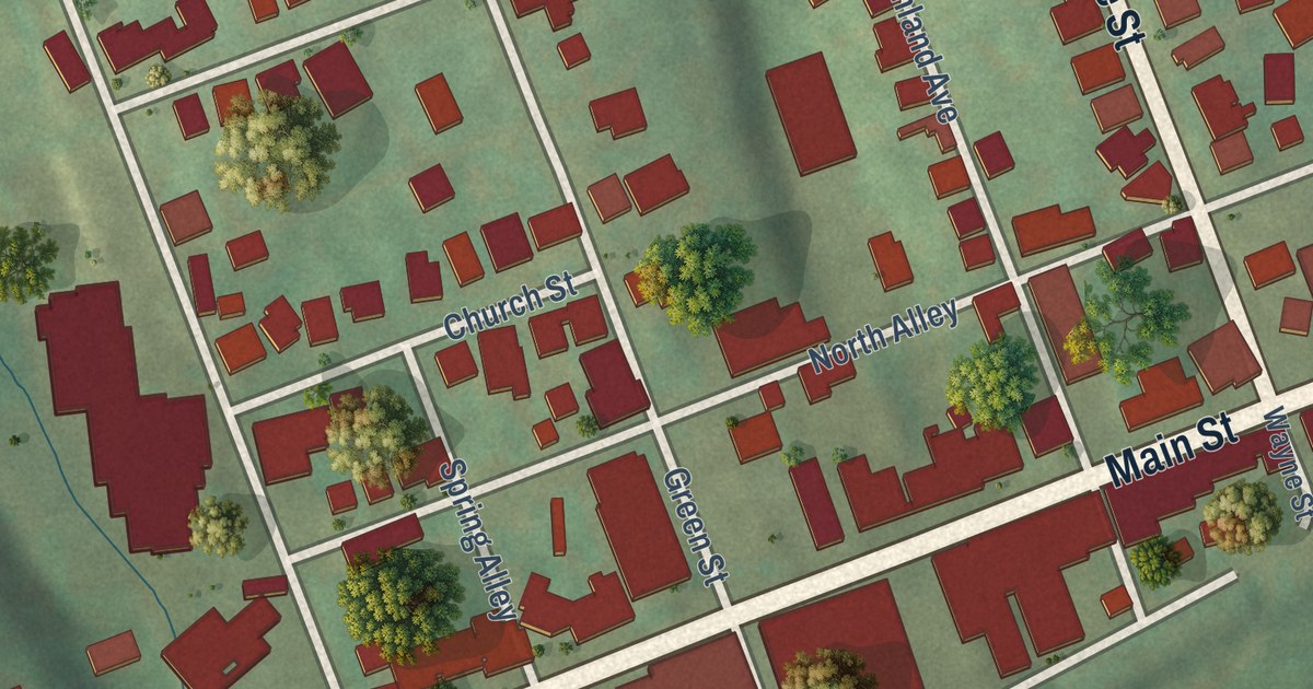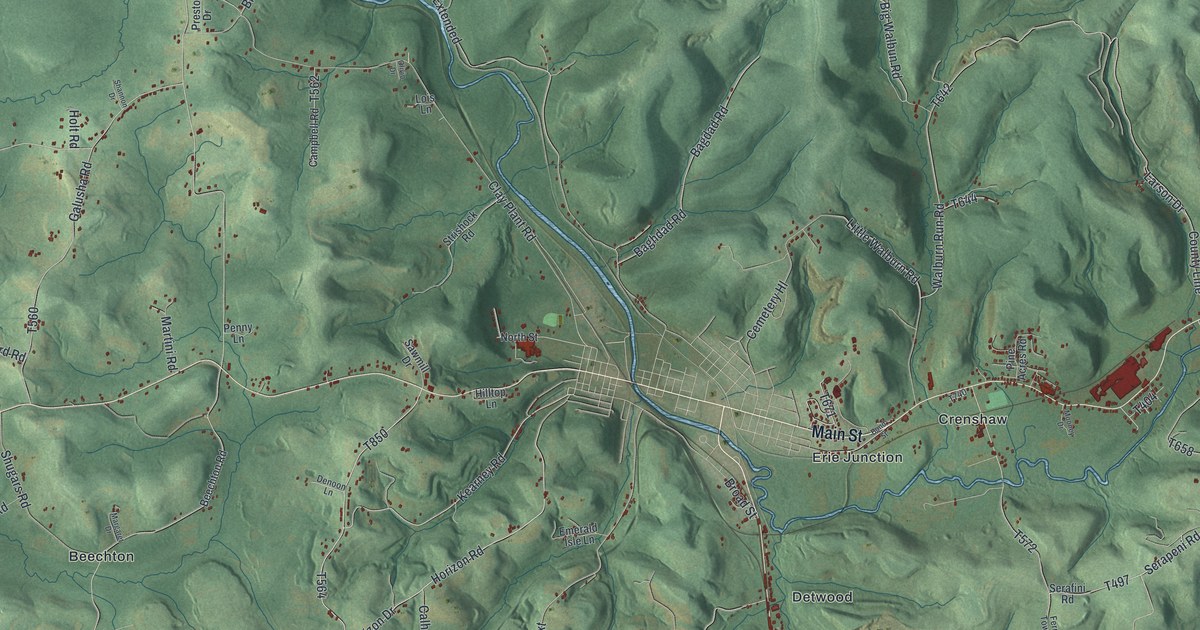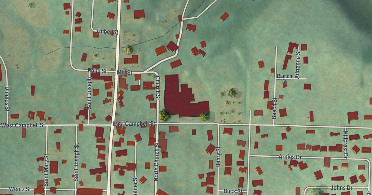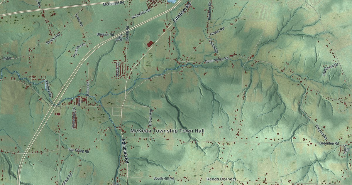
This beautifully detailed map of McKean Township, Pennsylvania was created in 2026 using aerial imagery combined with modern topographical, census, street and landmark data. It’s a one-of-a-kind view of McKean Township that combines accurate data with a vintage aesthetic. The map shows every building in its true location, many of the roads carry their names, and the shaded topographic relief shows the shape of the land.
Explore an aerial view of McKean Township, Pennsylvania
On the map you’ll find McKean Township Town Hall, Branchville, Sibleyville, Reeds Corners, and Sterrettania, along with Edinboro Road, Sterrettania Road, Sharp Road, Greenlee Road, South Hill Road, Oliver Road, Hamot Road, and more. If you look closely you can even find your house accurately drawn in its correct location. Zoom in on the preview to look for yours.
Did you know this piece of McKean Township, Pennsylvania history?
From the History of Erie County: "The Roman Catholics had no organization in the county until 1833, when a church was erected in the northern part of McKean Township, and occupied until the new one was put up in Middleboro."
Take a closer look at the McKean Township map
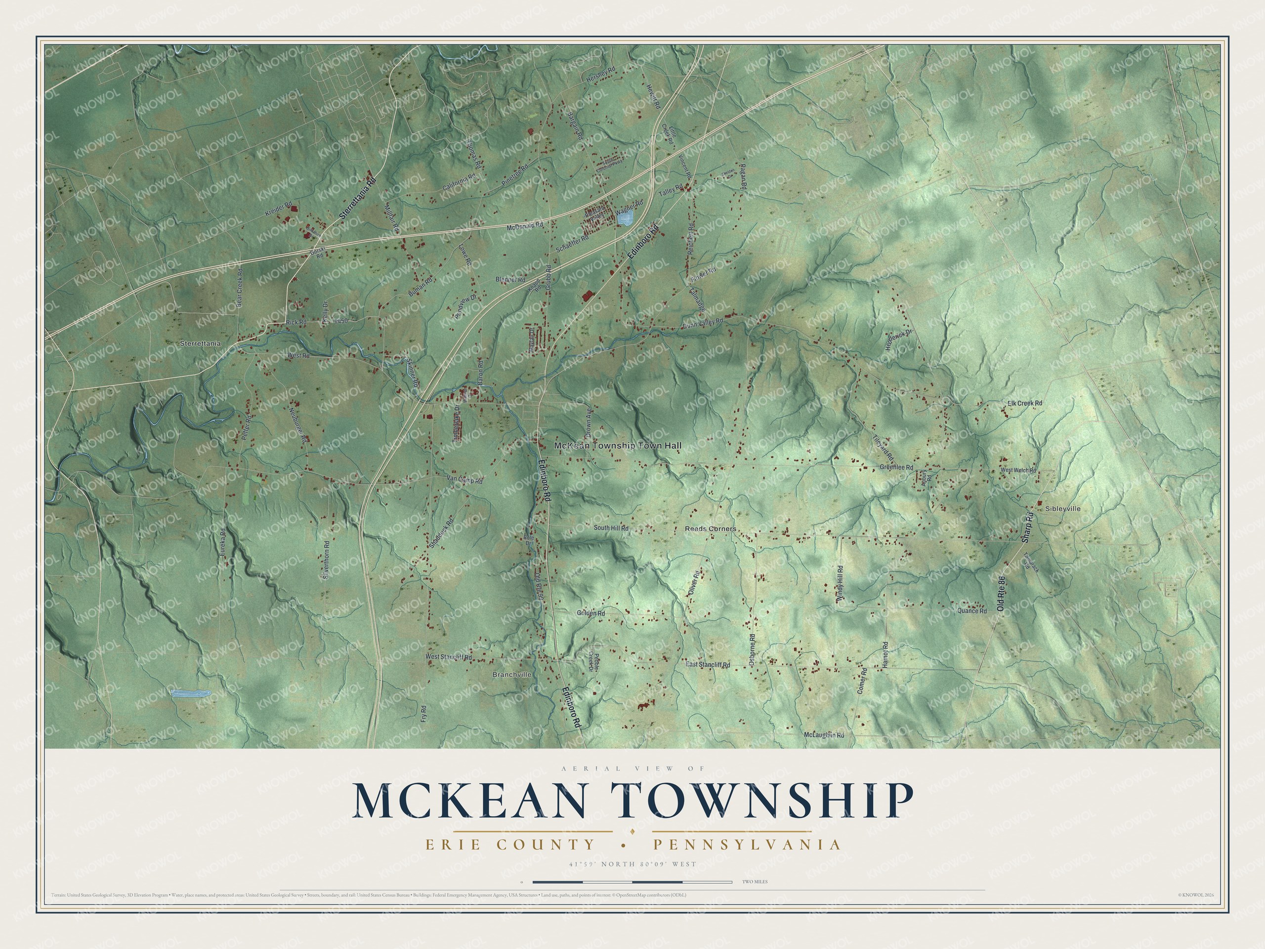
Street and place names on the McKean Township, Pennsylvania map
These names are printed on the map of McKean Township, Pennsylvania.
Places: McKean Township Town Hall, Branchville, Sibleyville, Sterrettania and Reeds Corners.
Streets and roads: Edinboro Road, Sterrettania Road, Old Route 86, Sharp Road, Greenlee Road, South Hill Road, Oliver Road, Hamot Road, East Stancliff Road, Dunn Valley Road, Fry Road, West Road.
More street names, A to Z
Aubury Road, Bargain Road, Baron Road, Bear Creek Road, Birkmire Drive, Blenner Road, Bole Drive, Buman Road, California Road, Comer Road, Drown Avenue, Elk Creek Road, Eureka Road, Flower Road, Golden Road, Gorski Road, Grubb Road, Hedderick Drive, Hershey Road, Hewitt Road, Kelly Drive, Knapp Road, Kreider Road, Little Creek Road, Lowe Road, Mayfair Drive, McDonald Road, McLaughlin Road, Millfair Road, Neuburger Road, Old Route 99, Osborne Road, Pagan Road, Pebble Creek Drive, Peffer Road, Pinetree Road, Pleasant Valley, Pondview Drive, Quance Road, Reichert Road, Rick Road, Schaeffer Road, Shadduck Road, Sheldon Drive, Silverthorn Road, Skinner Road, South Colonial Parkway, Talley Road, Talmadge, Tamarack Road, Thomas Road, Tileyard Road, Timberlake Drive, Van Camp Road, Vincent Road, Wagner Road, Walmer Drive, West Stancliff Road, West Welch Road, Windy Hill Road.
See the McKean Township, Pennsylvania map on a wall
The McKean Township, Erie County map as an 18 x 24 inch print in a black frame.

This beautifully detailed map of McKean, Erie County makes an attractive addition to your office, library, or den, and it can even be used to teach children the geography and history of the area. It also makes a great gift for anyone with McKean Township roots. When you’re done exploring, click here to get your copy of the McKean, Erie County map.