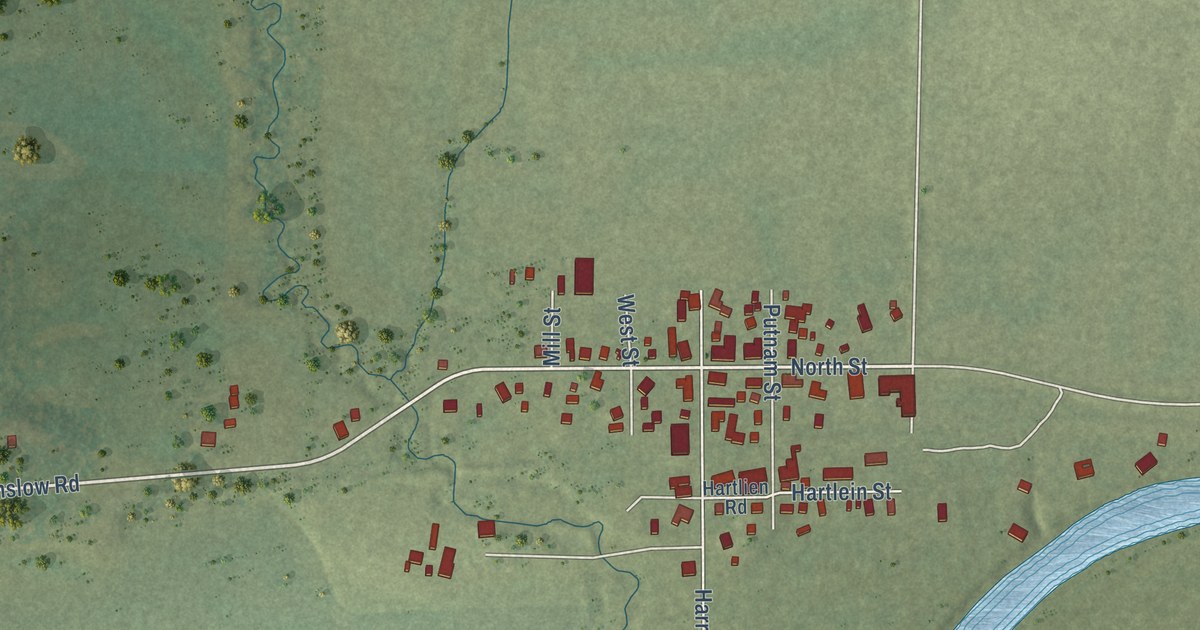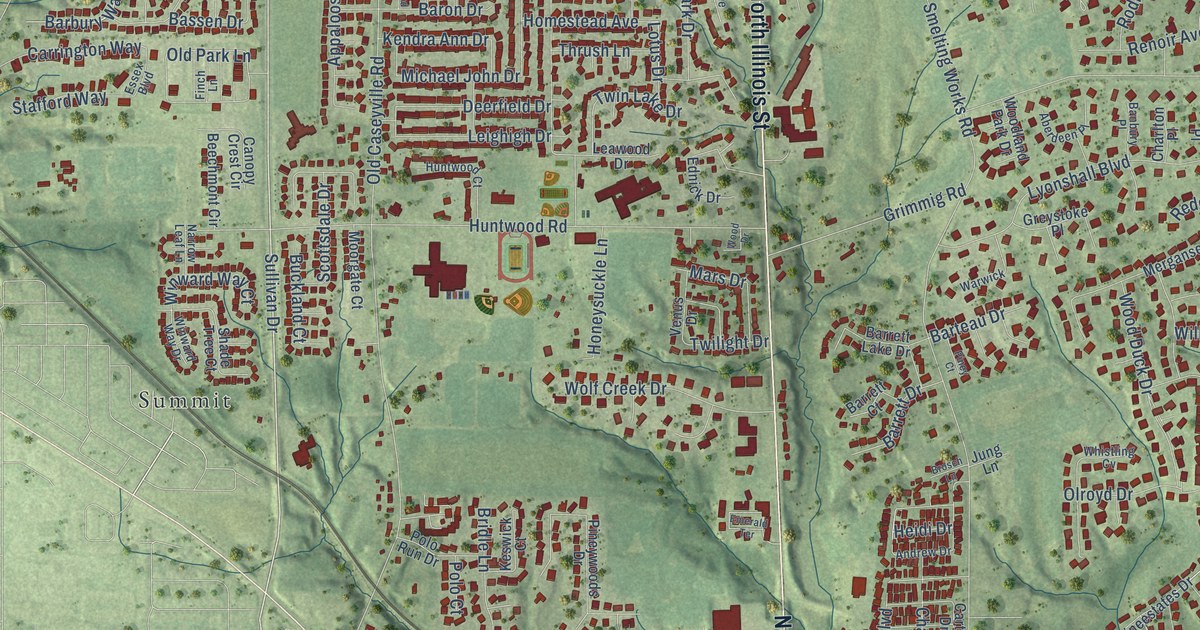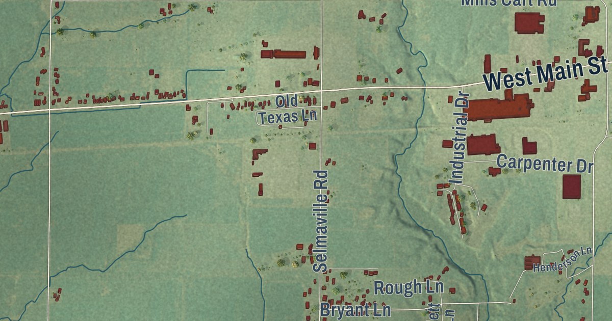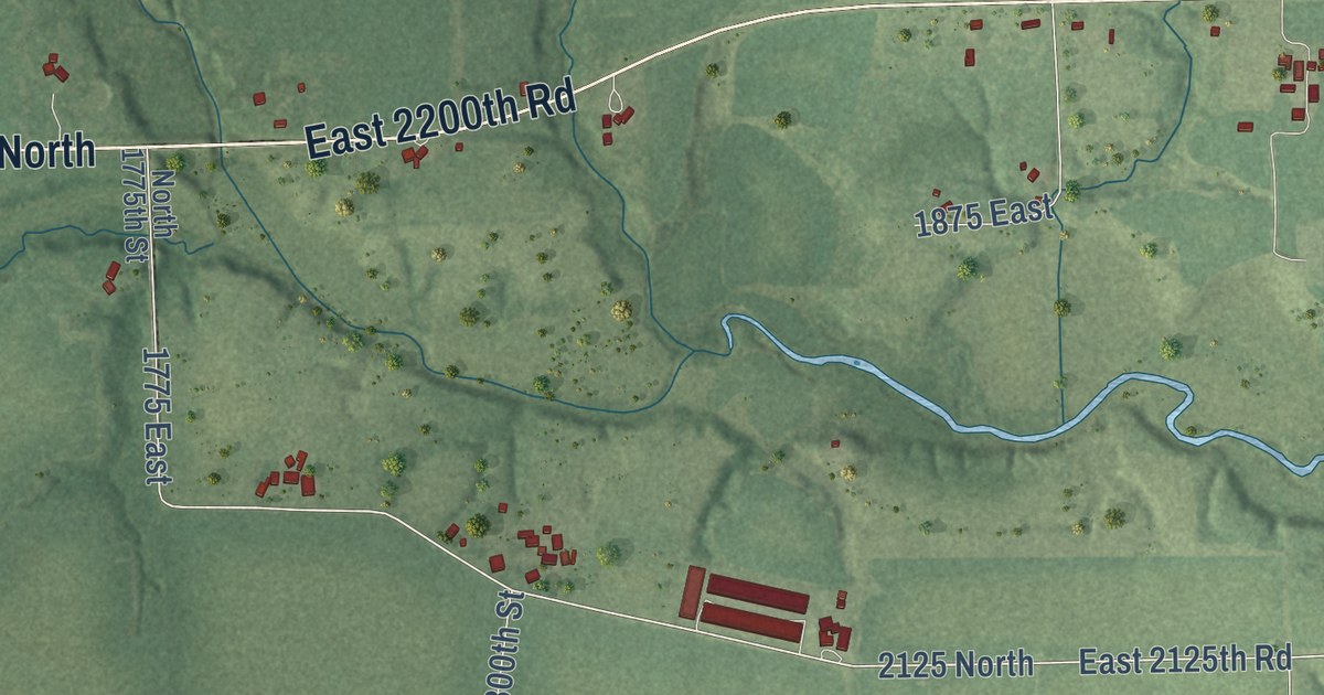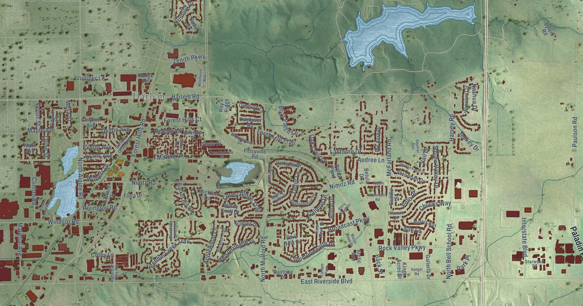
This beautifully detailed map of Loves Park, Illinois was created in 2026 using aerial imagery combined with modern topographical, census, street and landmark data. It’s a one-of-a-kind view of Loves Park that combines accurate data with a vintage aesthetic. The map shows every building in its true location, many of the roads carry their names, and the shaded topographic relief shows the shape of the land.
Explore an aerial view of Loves Park, Illinois
On the map you’ll find Rock Cut State Park, Sand Park, Harlem, and Ruby, along with West Lane Road, North Second Street, Paladin Parkway, Harlem Road, Argyle Road, Hart Road, Harvey Road, Rock Valley Parkway, and more. If you look closely you can even find your house accurately drawn in its correct location. Zoom in on the preview to look for yours.
Did you know this piece of Loves Park, Illinois history?
From the City of Loves Park: "In 1901, Rockford industrialist and civic leader Malcolm Love purchased a 236-acre tract of land along the Rock River."
Take a closer look at the Loves Park map
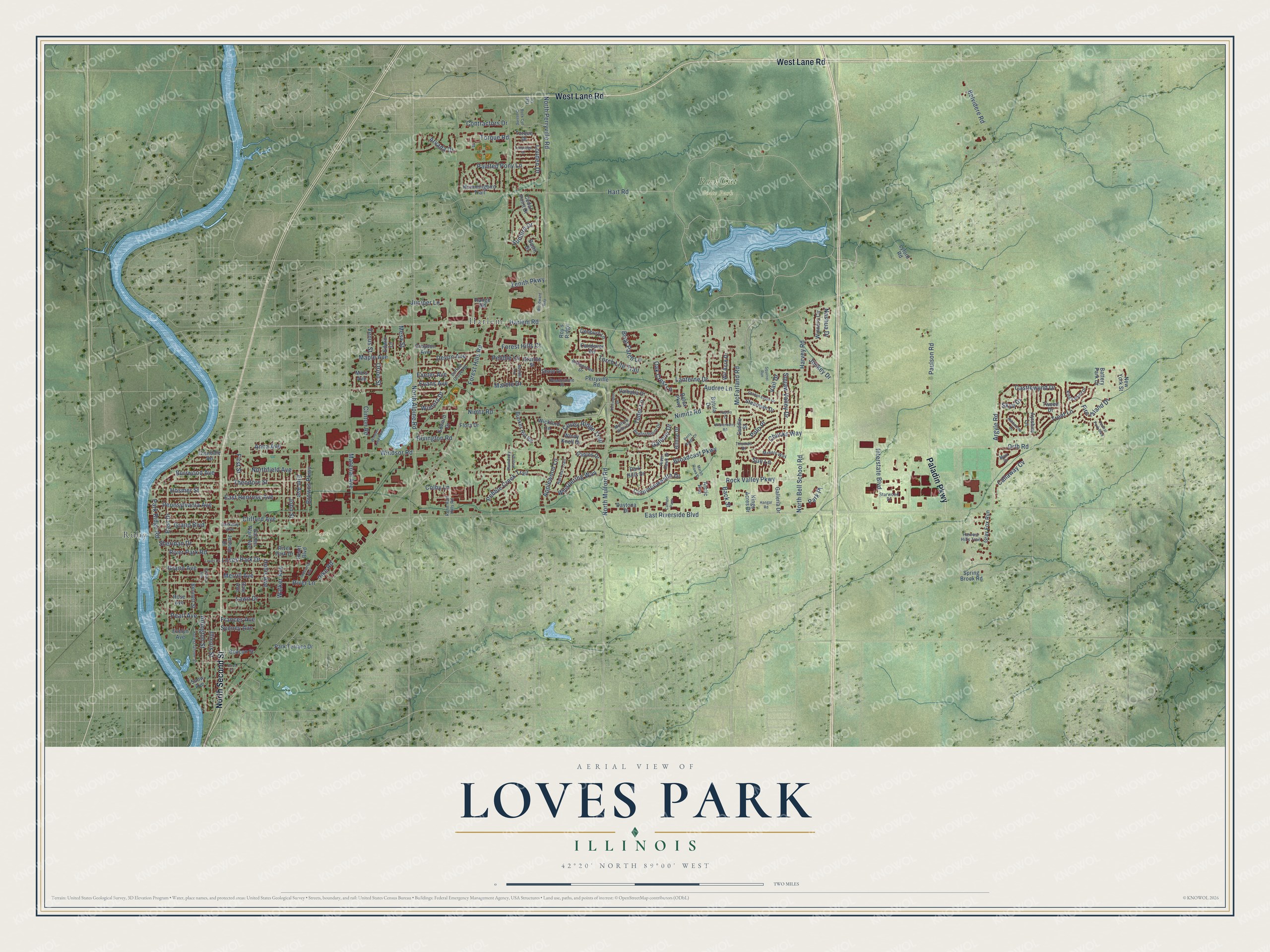
Street and place names on the Loves Park, Illinois map
These names are printed on the map of Loves Park, Illinois.
Places: Rock Cut State Park, Sand Park, Harlem and Ruby.
Streets and roads: West Lane Road, North Second Street, Paladin Parkway, Harlem Road, Argyle Road, Hart Road, Harvey Road, Rock Valley Parkway, Castlewynd Drive, Sheridan Drive, Pebble Lane, North Bell School Road.
More street names, A to Z
Anna Avenue, Applewood Lane, Arctic Avenue, Arlington Street, Arvada Drive, Ashbourne Drive, Audree Lane, Ayrshire Lane, Back Street, Barbara Avenue, Basin Drive, Battery Park Drive, Beacon Street, Bedfordshire Drive, Belvidere Road, Bennett Street, Betula Drive, Birkenshaw Drive, Blackberry Knoll Drive, Boulder Avenue, Briar Patch Lane, Broadcast Parkway, Browns Parkway, Buffalo Grove Road, Bunker Hill Road, Burrwood Avenue, Callaway Cv, Candover Road, Carlson Pass, Cedar Point Drive, Central Park Boulevard, Chucks Way, Clifford Avenue, Clinton Road, Colby Lane, Commonwealth Drive, Contractors Drive, Covey Ridge Trail, Croydon Avenue, Dale Avenue, Daytona Drive, Denbury Lane, Devon Avenue, Durrington Drive, East Drive, East Renrose Avenue, East Riverside Boulevard, Edward Drive, Edwin Lane, Elm Avenue, Evans Avenue, Evelyn Avenue, Exeter Avenue, Fire Island Drive, First Street, Flora Drive, Forest Grove Street, Forest Hills Court, Forest Hills Road, Frances Avenue, Gables Drive, Galleon Drive, Galleria Drive, Garden Plain Avenue, Glendale Road, Golden Eagle Drive, Grand Avenue, Grand Boulevard, Granite Street, Gray Fox Run, Hangar Road, Harvest Hills Trail, Harvest Trail, Heart Boulevard, Hilltop Drive, Hollis Avenue, Hosmer Street, Hummingbird Trail, Illinois Street, Industrial Avenue, Interstate Boulevard, Jensen Drive, Jockey Drive, John Street, Juniper Lane, Kings Acres Drive, Kings Point Drive, Lanterne Drive, Lawn Drive, Louden Drive, Loves Court, Loves Park Drive, Lyford Road, Mabels Way, Maple Avenue, Marble Drive, Mars Avenue, Marsh Hawk Drive, Material Avenue, McFarland Road, Merrill Avenue, Mesa Street, Muir Drive, Mulford Hills Drive, Nashua Drive, New York Street, Nimitz Road, Nimtz Road, North Alpine Road, Northfield Avenue, North Mulford Road, North Perryville Road, Oak Crest Lane, Olive Court, Orion Street, Orth Road, Osf Drive, Painted Pony Lane, Park Hills Drive, Park Place, Park Ridge Road, Park Terrace Drive, Parkway Avenue, Paulson Road, Peachstone Place, Pearl Avenue, Pebble Creek Trail, Pennsylvania Avenue, Perry Ridge Lane, Perryville Road, Pike Road, Polo Place, Range Road, Renn Hart Hills Road, River Hawk Drive, River Lane, River Park Drive, River Park Road, Rivington Road, Rock Cut Crossing, Rolex Parkway, Rose Avenue, Roy's Ridge, Saddle Street, Shale Drive, Skye Drive, Snow Avenue, Spring Brook Road, Squirrel Run, Starwood Drive, Stearman Drive, Sue Lane, Sunbird Drive, Sydney Avenue, Talladega Drive, Theodore Street, Thomas Drive, Torch Lite Trail, Torque Drive, Torque Road, Trent Lane, Tudor Lane, Tupelo Drive, Tweed Drive, Vail Drive, Valhalla Drive, Venus Street, Walker Avenue, Whispering Way, Wickford Lane, Wil Acre Drive, Windsor Lake Parkway, Windsor Road, Windy Knoll Drive, Winners Circle, Winterberry Road, Winters Drive, Woodward Way, Zenith Parkway.
See the Loves Park, Illinois map on a wall
The Loves Park map as an 18 x 24 inch print in a black frame.

This beautifully detailed map of Loves Park makes an attractive addition to your office, library, or den, and it can even be used to teach children the geography and history of the area. It also makes a great gift for anyone who grew up in Loves Park or moved away. When you’re done exploring, click here to get your copy of the Loves Park map.