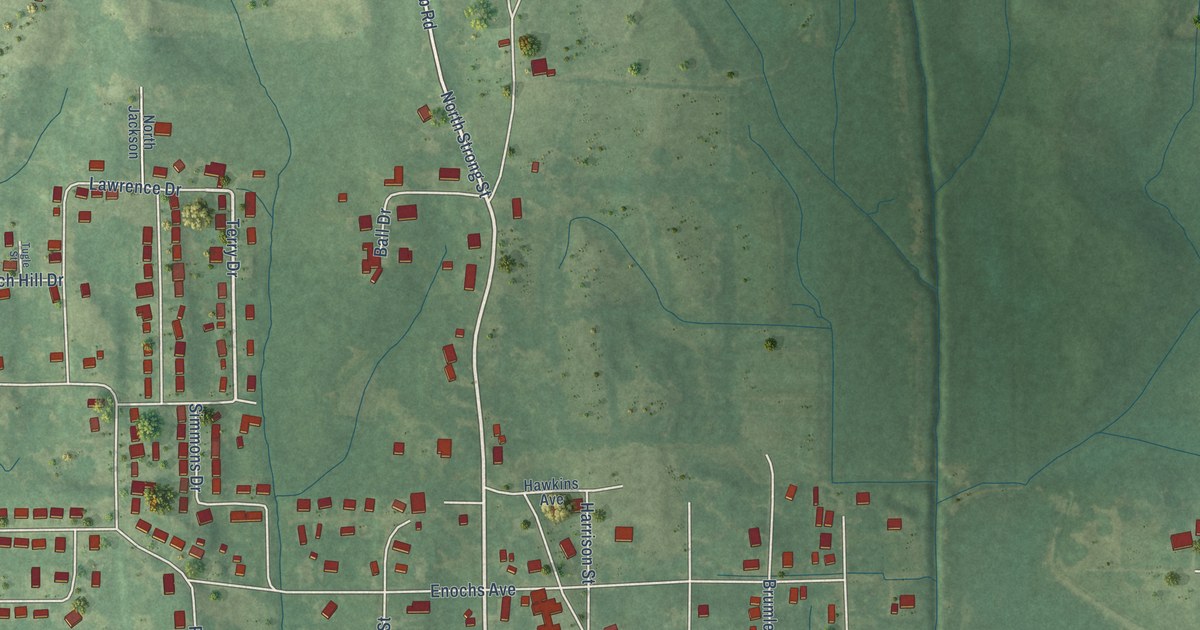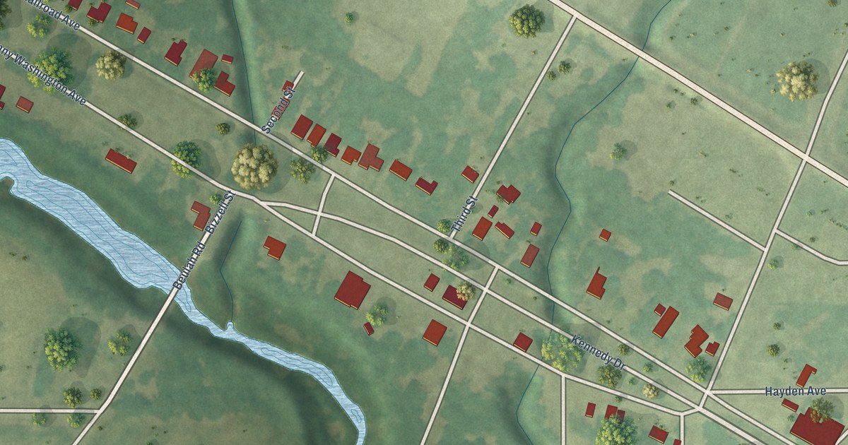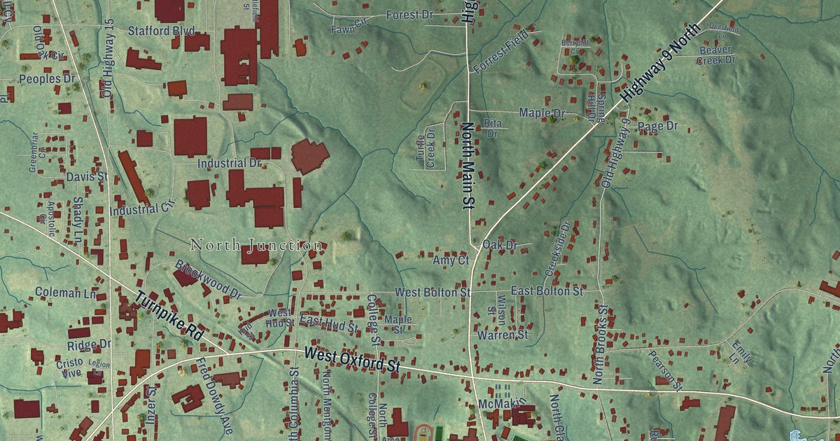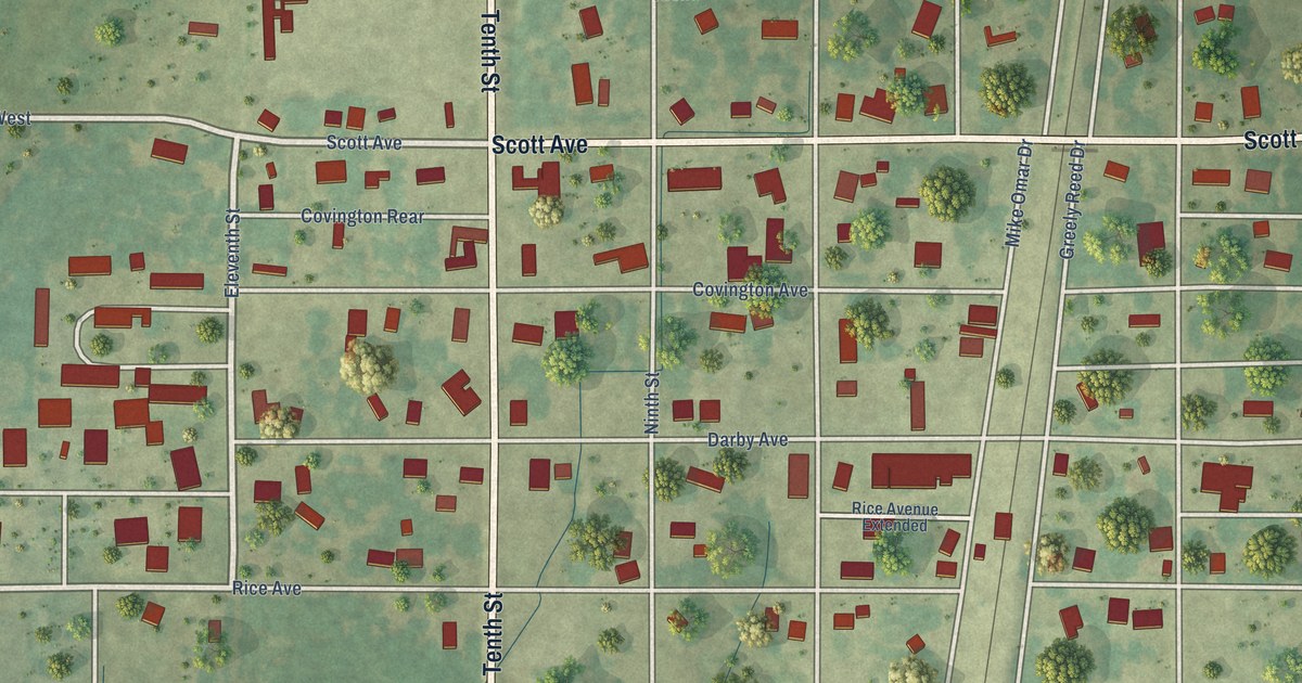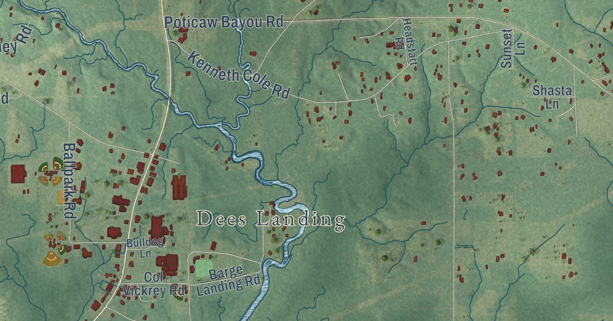
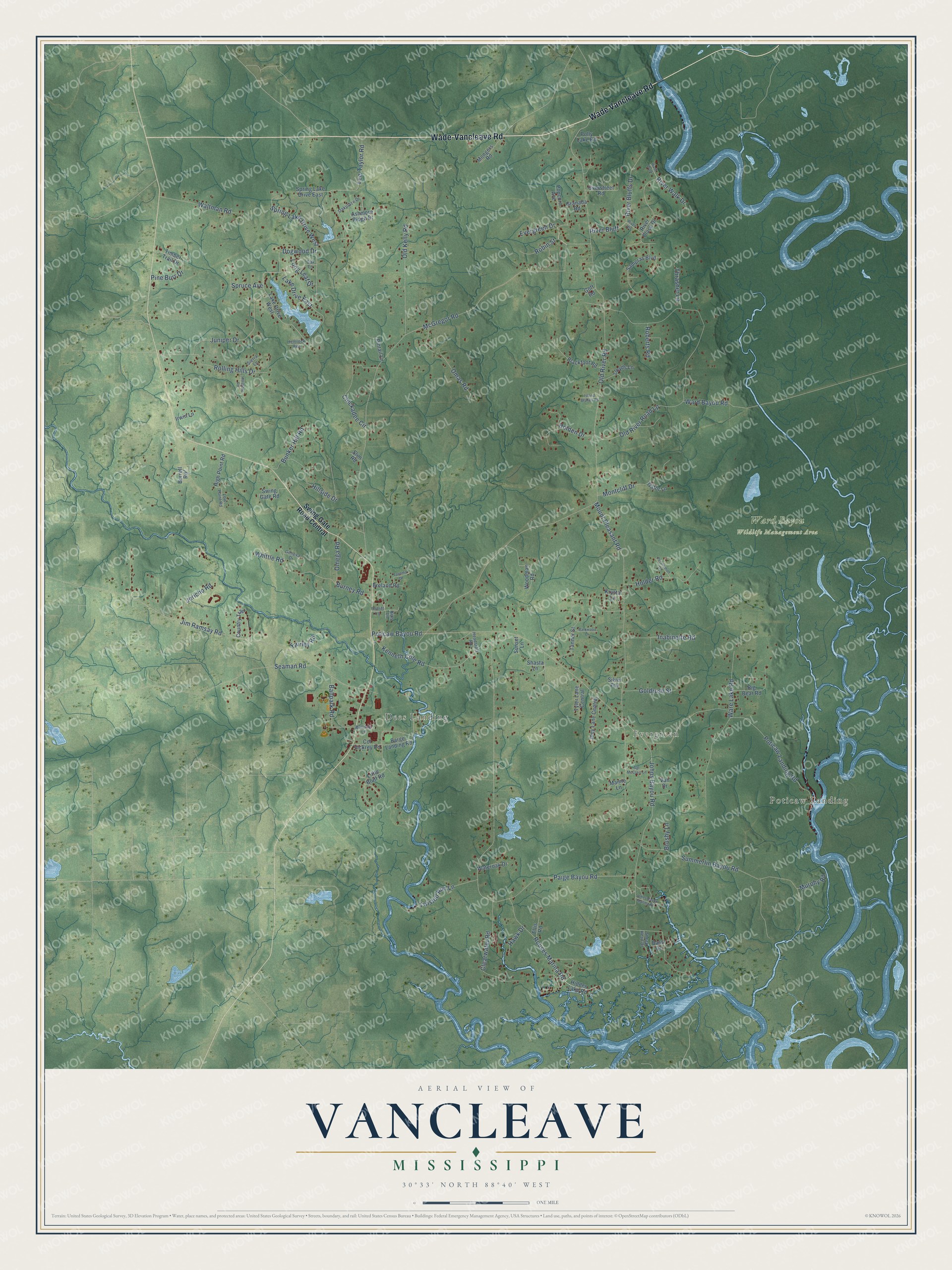
This beautifully detailed map of Vancleave, Mississippi was created in 2026 using aerial imagery combined with modern topographical, census, street and landmark data. It’s a one-of-a-kind view of Vancleave that combines accurate data with a vintage aesthetic. The map shows every building in its true location, many of the roads carry their names, and the shaded topographic relief shows the shape of the land.
Explore an aerial view of Vancleave, Mississippi
On the map you’ll find Poticaw Landing, Evergreen, Dees Landing, Ward Bayou Wildlife Management Area, and River Bluff, along with Wade Vancleave Road, Rouses Marina Road, Robin Street, Inabinette Road, Clearwater Road, Spruce Avenue, and more. If you look closely you can even find your house accurately drawn in its correct location. Zoom in on the preview to look for yours.
Did you know this piece of Vancleave, Mississippi history?
From Mississippiencyclopedia.org: "Born in 1897, Jacob Reddix grew up in Vancleave and became a scholar and served as president of Jackson State College for twenty-five years."
Take a closer look at the Vancleave map
Street and place names on the Vancleave, Mississippi map
These names are printed on the map of Vancleave, Mississippi.
Places: Poticaw Landing, Evergreen, Dees Landing and Ward Bayou Wildlife Management Area.
Streets and roads: Wade Vancleave Road, Wade-Vancleave Road, Rouses Marina Road, Robin Street, Inabinette Road, Clearwater Road, River Bluff, Spruce Avenue, Old River Road, McGregor Road, Paige Bayou Road, Poticaw Bayou Road.
More street names, A to Z
Ashmore Ridge Drive, Ballpark Road, Barge Landing Road, Barkwood Lane, Bass Drive, Big Bear Road, Blackfoot Road, Breland Road, Brushy Lane, Bulldog Lane, Bunker Hill Road, Burney Road, Burrell Road, Chickadee Circle, Col Vickrey Road, Country Trail, Dogwood Drive, Ellis Road, Evergreen Drive, Fairley Road, Gator Lane, Geneva Drive, Goff Road, Goldrush Street, Granada Road, Hawk Drive, Headstart Road, Hemlock Avenue, Hidden Lake Road, High Point Road, Hillsboro Road, Hillside Drive, Holden Drive, Holder Road, Irwin Lane, Island Branch Road, Jericho Road, Jim Ramsay Road, Joey Lane Central, Johns Bayou Marina Road, Johns Bayou Road, Juniper Drive, Kenneth Cole Road, Kips Lane, Krystal Lane, Lake Drive East, Lake Drive West, Lee-Taylor Road, Little Bluff Road, Lloyds Lane, Long Leaf Drive, Low Point Road, Mamie Lane, Mongers Road, Montcliff Drive, Mount Pleasant Road, Murphy Road, Oak Lane, Oakplace Drive, Old Kelly Road, Old River Road Lp, Omas Road, Omega Road, Overstreet Road, Persimmon Drive, Pine Burr Drive, Pintail Lane, Polly Lake Road, Popcorn Avenue, Poticaw Landing Road, Ratliff Lane, River Bluffs Drive, River Heights, River Place Drive, River Walk, River Walk Drive, Roberts Road, Rolling Hills Drive, Sampras Boulevard, Seaman Road, Sgt McClain Lane, Shasta Lane, Sheep Head Drive, Sierra Lane, Silver Fox, Slim Road, Spring Lake Drive East, Spring Lake Drive West, Summerlin Bayou Road, Sunset Lane, Swing Gate Road, Swing Gate Road Central, Tacoma Drive, Tanner Street, Thrasher Lane, Timber Trail Drive, Twisted Run Lane, Tyler Lane Central, Van Drive, Waltman Road, Ward Bayou Road, Ware Lake Road, Wateroak Drive, Whittle Road, Woodman Road.
See the Vancleave, Mississippi map on a wall
The Vancleave map as an 18 x 24 inch print in a black frame.

This beautifully detailed map of Vancleave makes an attractive addition to your office, library, or den, and it can even be used to teach children the geography and history of the area. It also makes a great gift for anyone with Vancleave roots. When you’re done exploring, click here to get your copy of the Vancleave map.