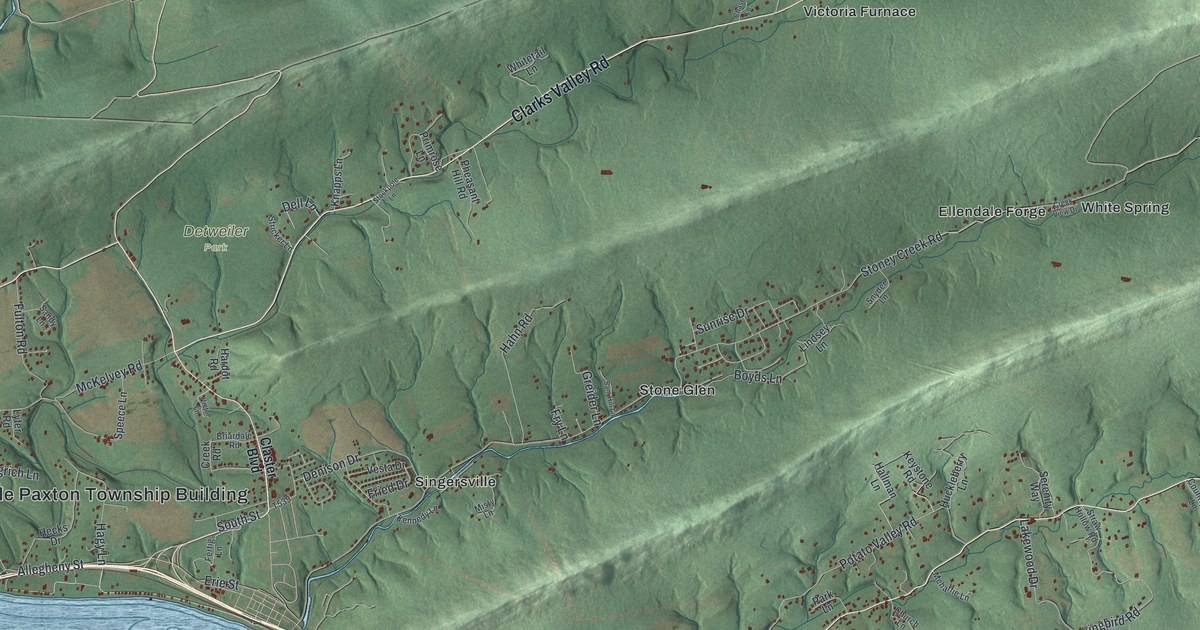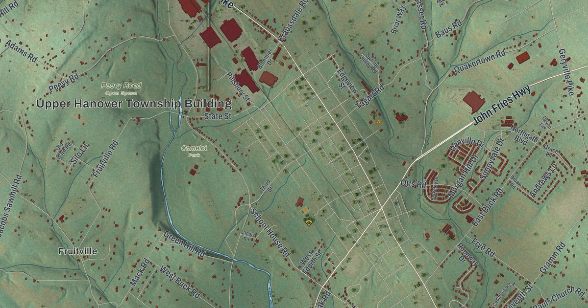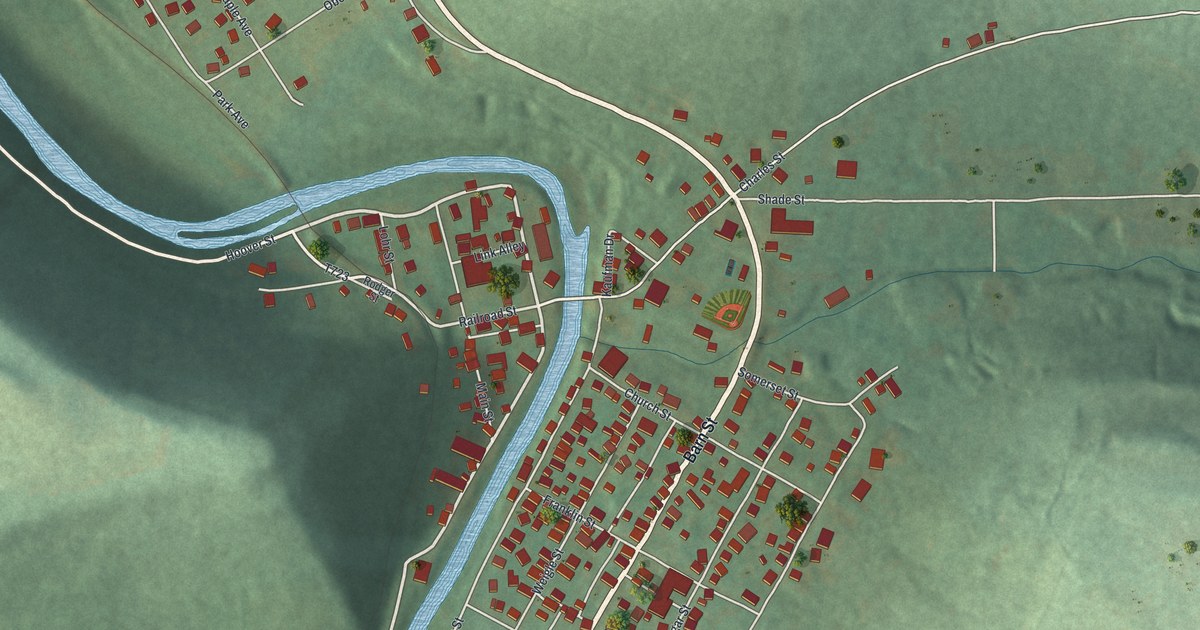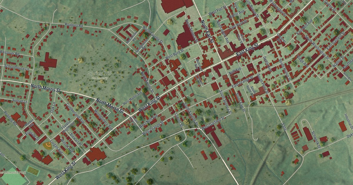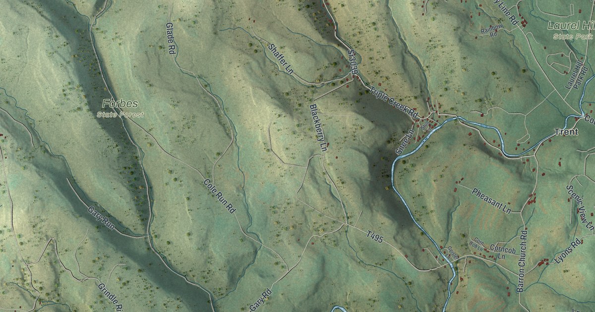
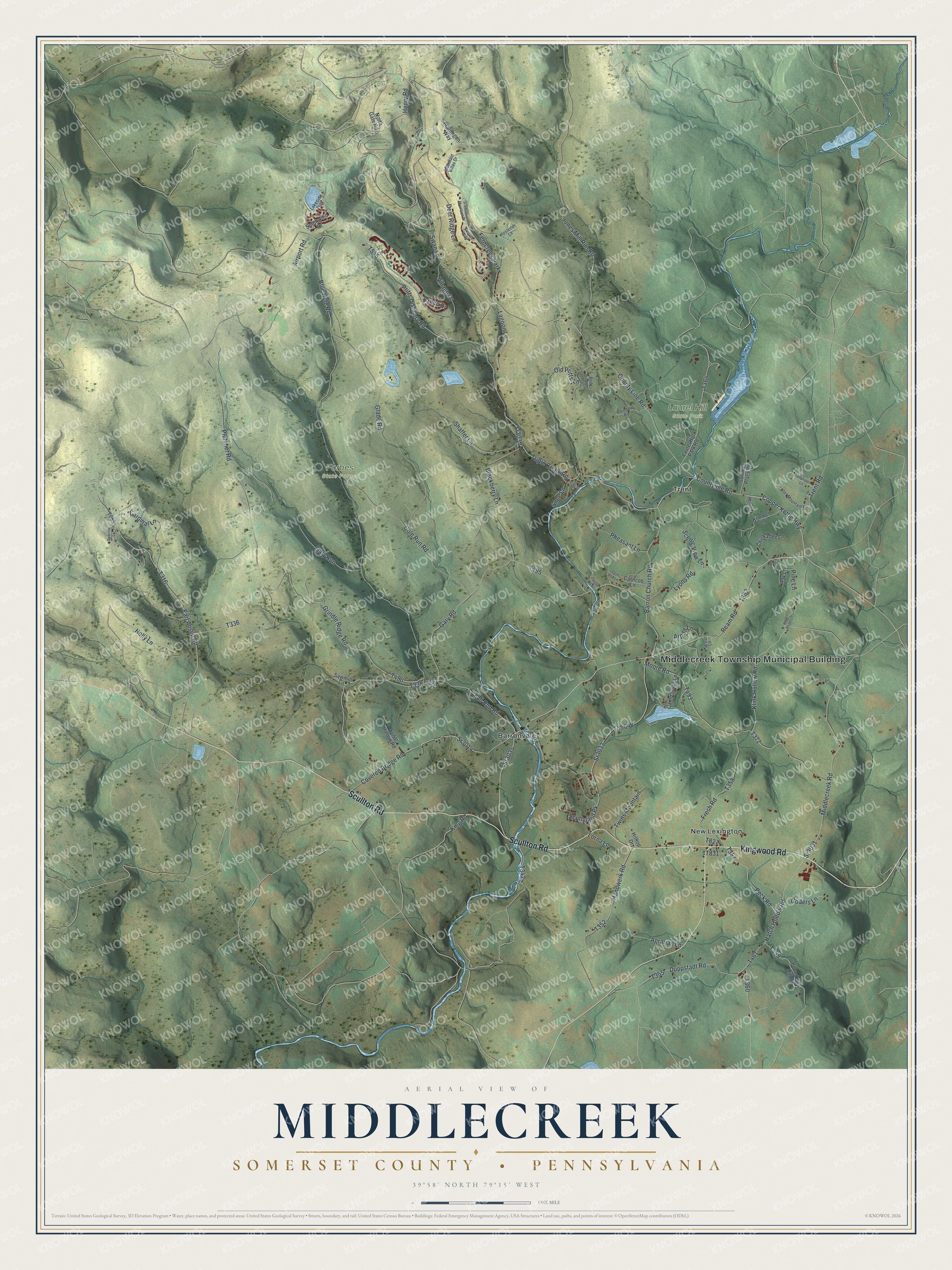
This beautifully detailed map of Middlecreek, Somerset County, Pennsylvania was created in 2026 using aerial imagery combined with modern topographical, census, street and landmark data. It's a modern aerial view of Middlecreek, Somerset County in Somerset County, Pennsylvania, that combines modern data with a vintage aesthetic. The roads feature printed names, and if you look closely you can find your exact house accurately shown in its correct location.
Explore an aerial view of Middlecreek, Somerset County, Pennsylvania
On this map you'll find Middlecreek Township Municipal Building, Forbes State Forest, Laurel Hill State Park, Barronvale, New Lexington, Trent, Scullton Road, Kingwood Road, County Line Road, Triple Creek Road, Barron Church Road, T493, and more. Each red shape is a building, so zoom in on the preview and look for yours.
Middlecreek, Somerset County is a place in Somerset County. The Census Bureau counted 832 people here in 2020. The map prints the town name in its title panel, with the coordinates below it.
Take a closer look at the Middlecreek, Somerset County map
Names on this map
These names are printed on this map.
Places: Middlecreek Township Municipal Building, Forbes State Forest, Laurel Hill State Park, Barronvale, New Lexington, Trent and Ferncreek Park.
Streets and roads: Scullton Road, Kingwood Road, County Line Road, Triple Creek Road, Barron Church Road, Sr3033, Ream Road, Copper Kettle Highway, Sr3035, Earl Ansell Road, Peck Road, Henry Road.
More street names, A to Z
Agrarian Lane, Airport Road, Arpad Lane, Aspen Drive, Blackberry Lane, Blue Hole Road, Camp Soles Lane, Cardinal Lane, Chickadee Lane, Cole Run Road, Corncob Lane, Corn Cob Lane, Countyline Road, Covered Bridge Road, Deer Ridge Lane, Duppstadt Road, Fall Run Road, Finley Lane, Fresh Road, Gary Road, Gary Run, Geisler Lane, Glade Road, Golfers Lane, Grindle Ridge Road, Handwerk Road, Hatch Hollow Road, Hemlock Lane, Hilltop Drive, Holly Lane, Hostetler Lane, Jones Mill Run Road, Karpat Lane, Kimmel Lane, King Road, Klink Hollow Road, Lagoon Lane, Lake Road Lane, Lakeside Trail, Laurel Hill Park Road, Lind Lane, Lorna Lane, Lost Mountain Lane, Lyons Road, Middlecreek Road, Moore Road, Mountain Villas Drive, North Gate Road, Oak Lane, Old Pritts Lane, Pheasant Lane, Phillippi Lane, Pine Lane, Pletcher Road, Pound Lick Hill Road, Pritts Distillery Road, Ptarmigan Way, Rainbow Road, Red Bird Lane, Sawmill Lane, Scenic View Lane, Scottyland Pk, Shaffer Lane, Snee Lane, Southwind Drive, Sparrow Lane, Sr3014, Sr3031, Sr3039, Stull Lane, Sugar Hollow Road, Summer Place Lane, Swan Lane, Swiss Mountain Drive, Trent Road, Twins Mountain, Village Drive, Zurich Way.
Created by KNOWOL in 2026. The buildings are small red shapes, the roads carry their printed names, and shaded relief shows the shape of the land. The title panel reads "AERIAL VIEW OF MIDDLECREEK SOMERSET COUNTY • PENNSYLVANIA" with 3, 9, °, 5, 8, ', , N, O, R, T, H, , 7, 9, °, 1, 5, ', , W, E, S, T.
Hang it in the hallway, the office or the cabin, or give it to someone who left Middlecreek, Somerset County and still calls it home. Open the preview and look for a street you know. See sizes and frames for the Middlecreek, Somerset County map.