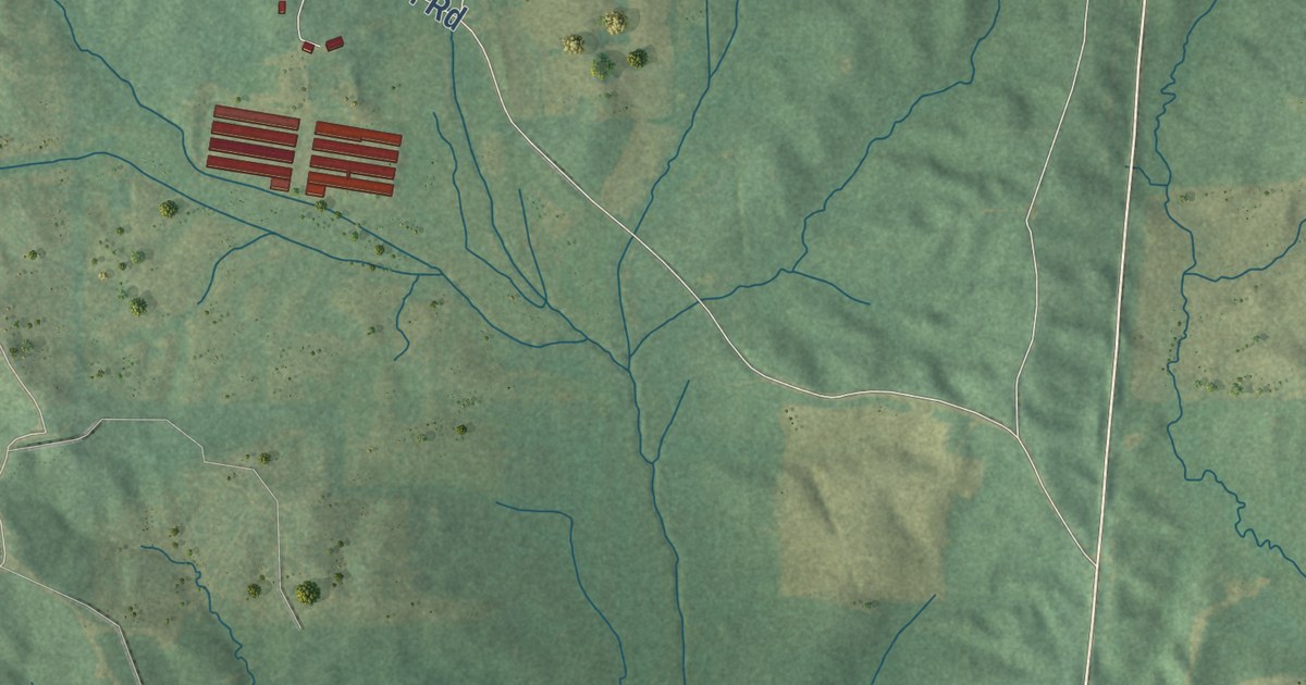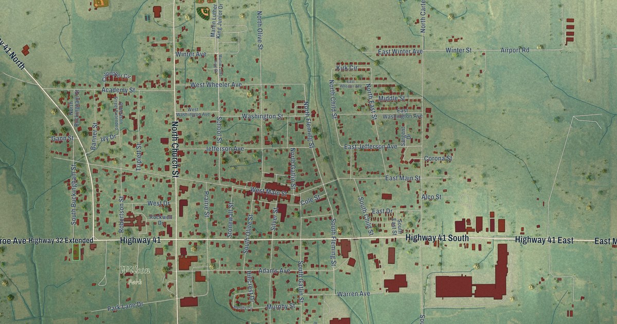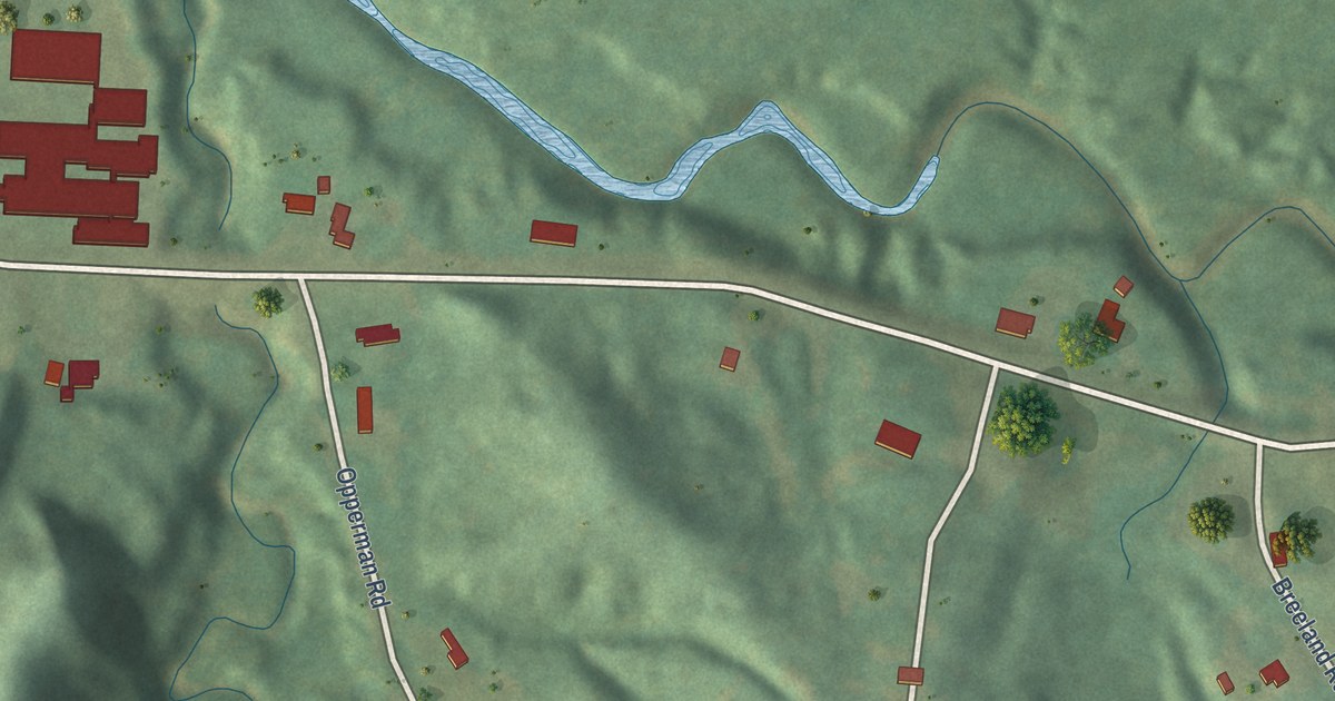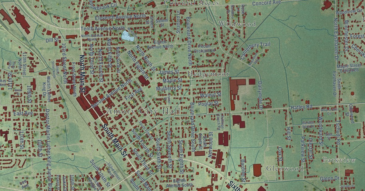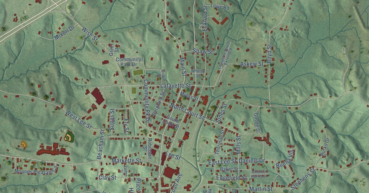
This beautifully detailed map of Water Valley, Mississippi was created in 2026 using aerial imagery combined with modern topographical, census, street and landmark data. It’s a one-of-a-kind view of Water Valley that combines accurate data with a vintage aesthetic. The map shows every building in its true location, many of the roads carry their names, and the shaded topographic relief shows the shape of the land.
Explore an aerial view of Water Valley, Mississippi
On the map you’ll find Main Street, Blackmur Drive, Frostland Drive, South Main Street, Wise Street, North Main Street, Central Street, Clay Street, Dogwood Drive, Airways Road, Lafayette Street, Askew Street, and more. If you look closely you can even find your house accurately drawn in its correct location. Zoom in on the preview to look for yours.
Did you know this about Water Valley, Mississippi?
From the Mississippi Cyclopedia: "The prosperous town of Water Valley, in Yalobusha county, is the market and shipping point for the southern part of the county."
Take a closer look at the Water Valley map
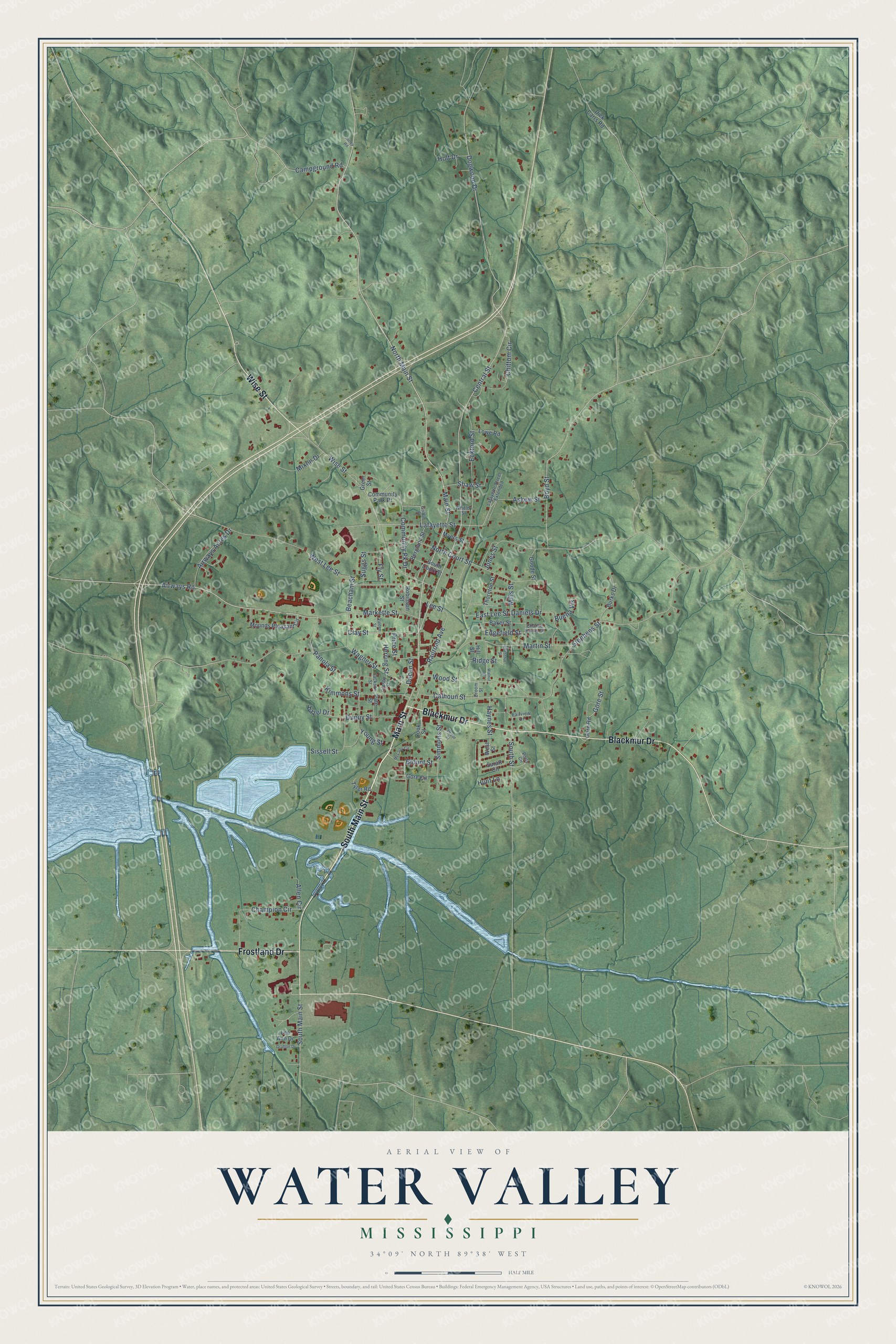
Street names on the Water Valley, Mississippi map
These names are printed on the map of Water Valley, Mississippi.
Streets and roads: Main Street, Blackmur Drive, Frostland Drive, South Main Street, Wise Street, North Main Street, Central Street, Clay Street, Dogwood Drive, Airways Road, Lafayette Street, Askew Street.
More street names, A to Z
Airways Acres Drive, Allen Circle, Baker Street, Beacham Street, Bergland Street, Blount Street, Boyd Street, Buena Vis, Burks Drive, Calhoun Street, Campground Road, Champion Circle, Charlie Harris Street, Chestnut Street, Chittom Circle, Community Park Drive, Community Pk Drive, Cook Street, Croom Street, Crosby Street, Daniels Drive, Depot Street, Dick Carrs Road, Ducan Street, Dupuy Street, East Lee Street, Eckford Street, Edgefield Street, Fairview Drive, Fly Street, Goode Street, Gore Circle, Gore Road, Gore Street, Grafton Drive, Greer Street, Griffin Street, Haynes Street, Hazel Drive, Herring Street, Hill Street, Holt Drive, Hunt Lane, Jackson Street, Jones Road, Jones Street, Kimmons Street, Lafayette Street Extended, Lee Ann Drive, Lee Street, Lowe Road, Markette Street, Martin Street, McLarty Circle, Mills Street, Mixon Drive, Mounds Pleasant Circle, Myers Street, North Court Street, Panola Street, Pate Street, Potts Circle, Price Street, Railroad Avenue, Ridge Street, Robinson Street, Shaw Street, Simmons Street, Sissell Street, South Court Street, South Street, Stephens Street, Suggs Street, Suratt Circle, Thornton Street, Tyler Road, Vaiden Street, Wagner Street, Walnut Street, West Lee Street, West Street, Whitley Street, Wood Street, Young Street.
See the Water Valley, Mississippi map on a wall
The Water Valley map as an 18 x 24 inch print in a black frame.

This beautifully detailed map of Water Valley makes an attractive addition to your office, library, or den, and it can even be used to teach children the geography and history of the area. It also makes a great gift for anyone with Water Valley roots. When you’re done exploring, click here to get your copy of the Water Valley map.