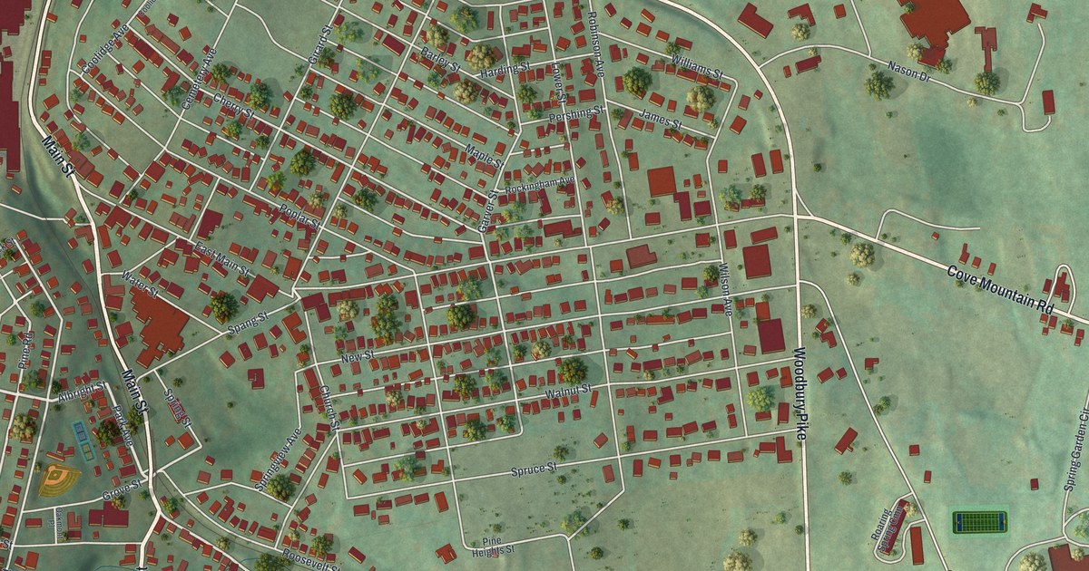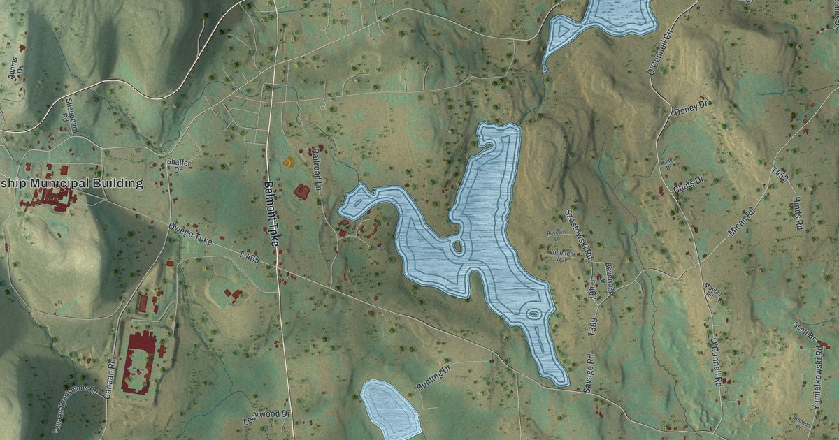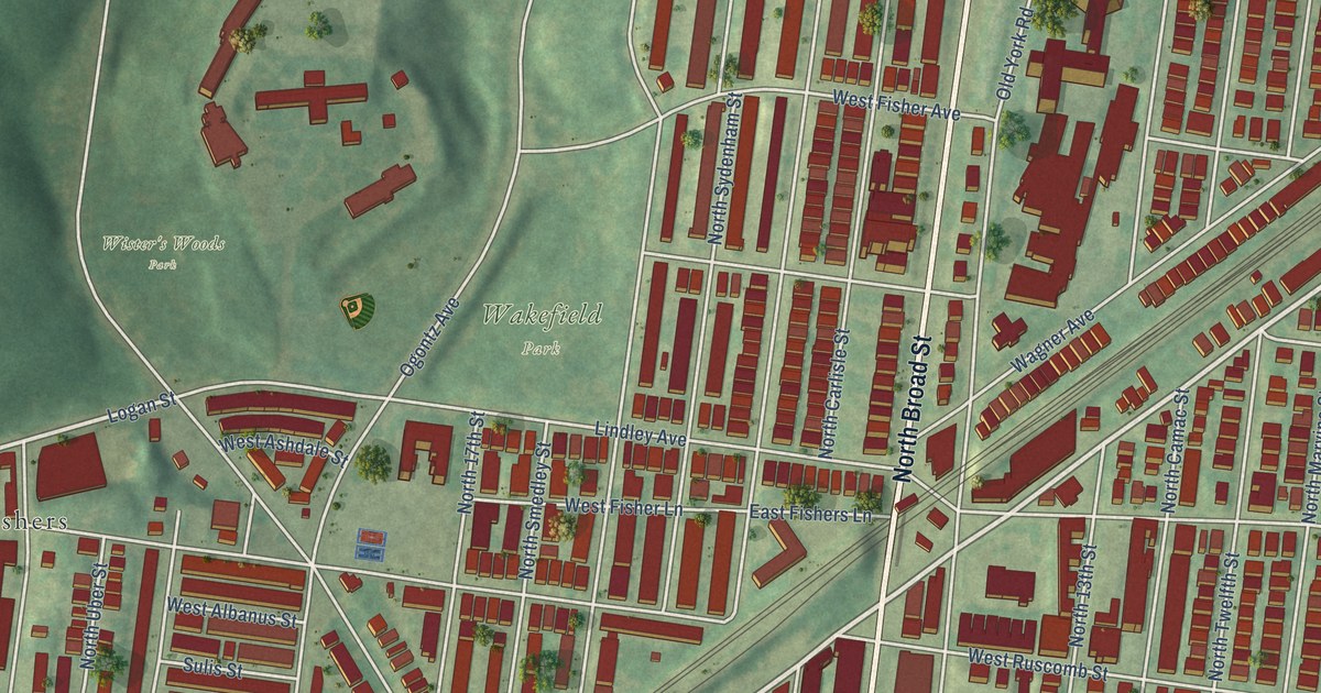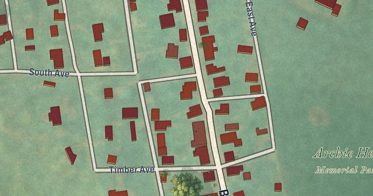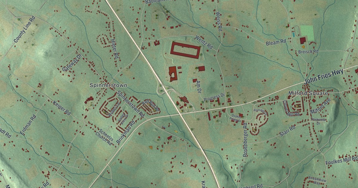
This beautifully detailed map of Milford, Bucks County, Pennsylvania was created in 2026 using aerial imagery combined with modern topographical, census, street and landmark data. It’s a one-of-a-kind view of Milford that combines accurate data with a vintage aesthetic. The map shows every building in its true location, many of the roads carry their names, and the shaded topographic relief shows the shape of the land.
Explore an aerial view of Milford, Bucks County, Pennsylvania
On the map you’ll find Beechwood Acres, Brick Tavern, Finland, Geryville, Milford Square, Mumbauersville, Rosedale, Spinnerstown, Steinsburg, and Trumbauersville, along with John Fries Highway, Kumry Road, and more. If you look closely you can even find your house accurately drawn in its correct location. Zoom in on the preview to look for yours.
Did you know this piece of Milford, Bucks County, Pennsylvania history?
The Milford rebellion against the house tax of 1798 broke out in Milford Township that fall. It was led by John Fries, an auctioneer who traveled with his little dog, Whiskey. Captured in 1799, Fries was sentenced to hang, but President Adams pardoned him. He came home to Milford and went back to work. That’s from the 1876 History of Bucks County, Pennsylvania.
Take a closer look at the Milford, Bucks County map
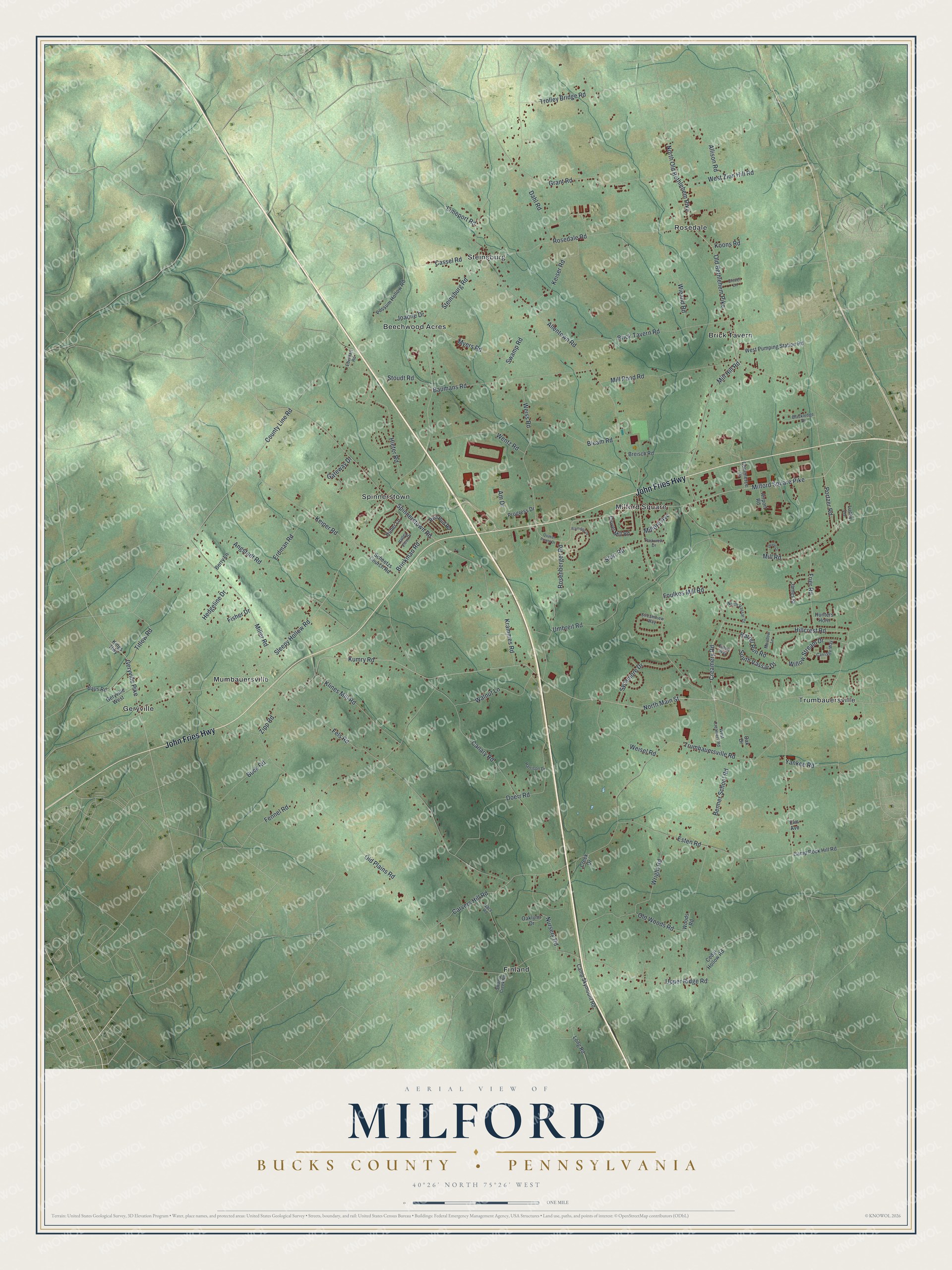
Street and place names on the Milford, Bucks County, Pennsylvania map
These names are printed on the map of Milford, Bucks County, Pennsylvania.
Places: Beechwood Acres, Brick Tavern, Finland, Geryville, Milford Square, Mumbauersville, Rosedale, Spinnerstown, Steinsburg and Trumbauersville.
Streets and roads: John Fries Highway, Kumry Road, Milford Square Pike, Geryville Pike, Creamery Road, Sleepy Hollow Road, County Line Road, Titlow Road, Yankee Road, Allentown Road, Trumbauersville Road, Old Plains Road.
More street names, A to Z
Airport Road, Alamingo Drive, Allison Road, Am Drive, Angstadt Road, Barrel Run Road, Baumans Road, Baus Road, Benner School Road, Berry Lane, Blackledge Drive, Bleam Road, Breisch Road, Brick Tavern Road, Brinkman Road, Buck Road, Camp Rock Hill Road, Camp Skymount Road, Canary Road, Carriage Way, Carvers Hill Road, Cassel Road, Cedar Hollow Road, Clover Lane, Clover Mill Road, Commerce Drive, Creek Drive, Dahl Road, Devon Drive, Doerr Road, Eberhart Road, Elm Avenue, Erdman Road, Esten Road, Everly Way, Fels Road, Fennel Road, Fisher Drive, Foulkes Mill Road, Frier Road, Gateway Drive, Geryville West, Grant Road, Harrison Drive, Hedgeline Drive, Hieter Road, Hillcrest Road, Huber Lane, Hunters Horn, James Street, Joanne Drive, Keiper Road, Keiser Road, Kings Highway, Klines Mill Road, Koons Road, Krammes Road, Limeport Road, Long Road, Lucky Lane, Meadow Lane, Milford Avenue, Miller Road, Mill Hill Road, Mill Pond Road, Mill Road, Myers Road, Nace Road, North Main Street, North Old Bethlehem Pike, North Vassar Drive, Nursery Road, Oak Drive, Oaklynn Drive, Old Bethlehem Pike, Old Woods Road, Parkview Drive, Portzer Road, Possum Hollow Road, Progress Drive, Quaker Pointe Drive, Red Bud Road, Rosedale Road, Rosenberger Road, Scheetzs Church Road, South Vassar Drive, Spinnerstown Road, Starr Road, Steinsburg Road, Stoudt Road, Streamview Way, Swamp Creek Road, Swamp Road, Sycamore Drive, Trolley Bridge Road, Umbreit Road, Upper Ridge Road, Valley View Drive, Walnut Lane, Weisel Road, Weiss Road, Wentz Road, West Creamery Road, West Pumping Station Road, West Zion Hill Road, Wieand Road, Willow Stream Drive, Woods Road, Wright Road, Zipp Road.
See the Milford, Bucks County, Pennsylvania map on a wall
The Milford, Bucks County map as an 18 x 24 inch print in a black frame.

This beautifully detailed map of Milford, Bucks County makes an attractive addition to your office, library, or den, and it can even be used to teach children the geography and history of the area. It also makes a great gift for someone who left Milford and still calls it home. When you’re done exploring, click here to get your copy of the Milford, Bucks County map.