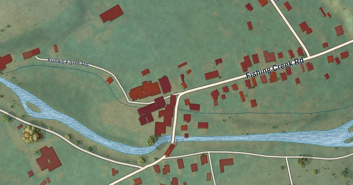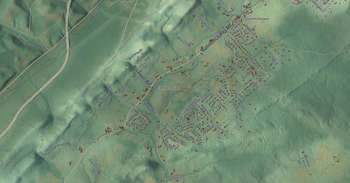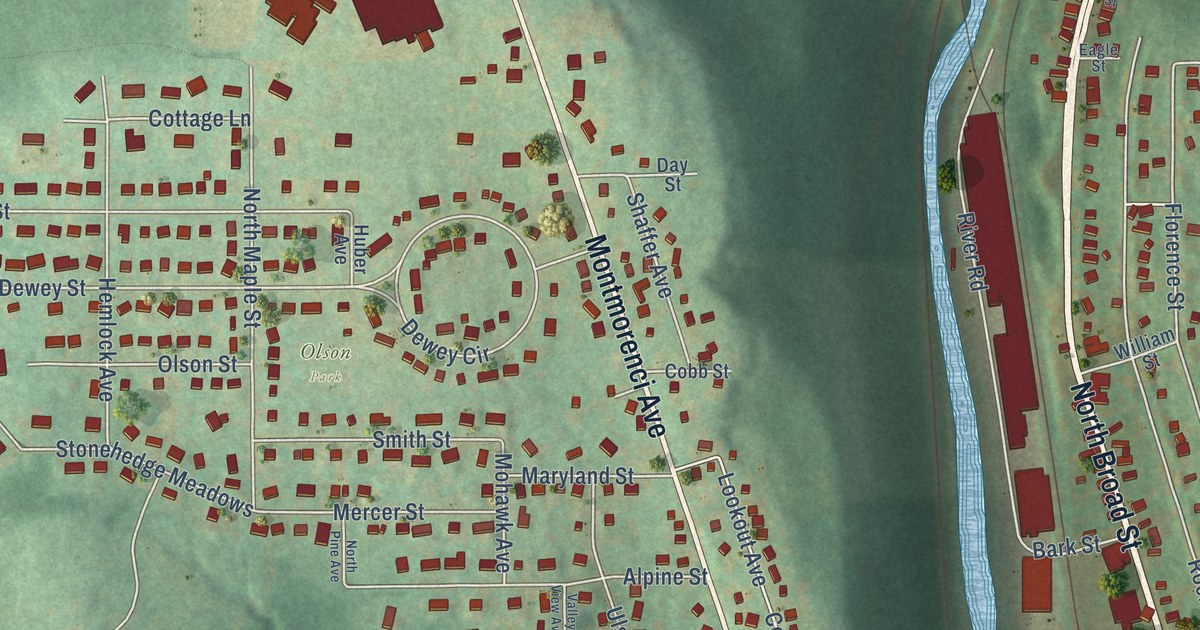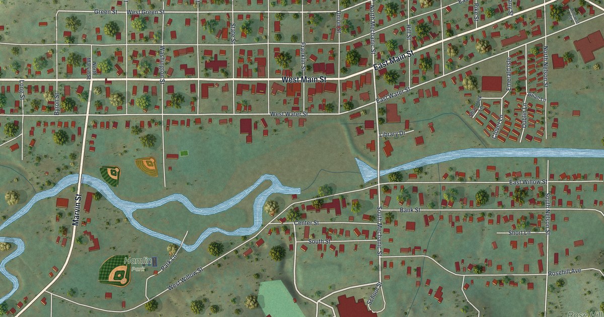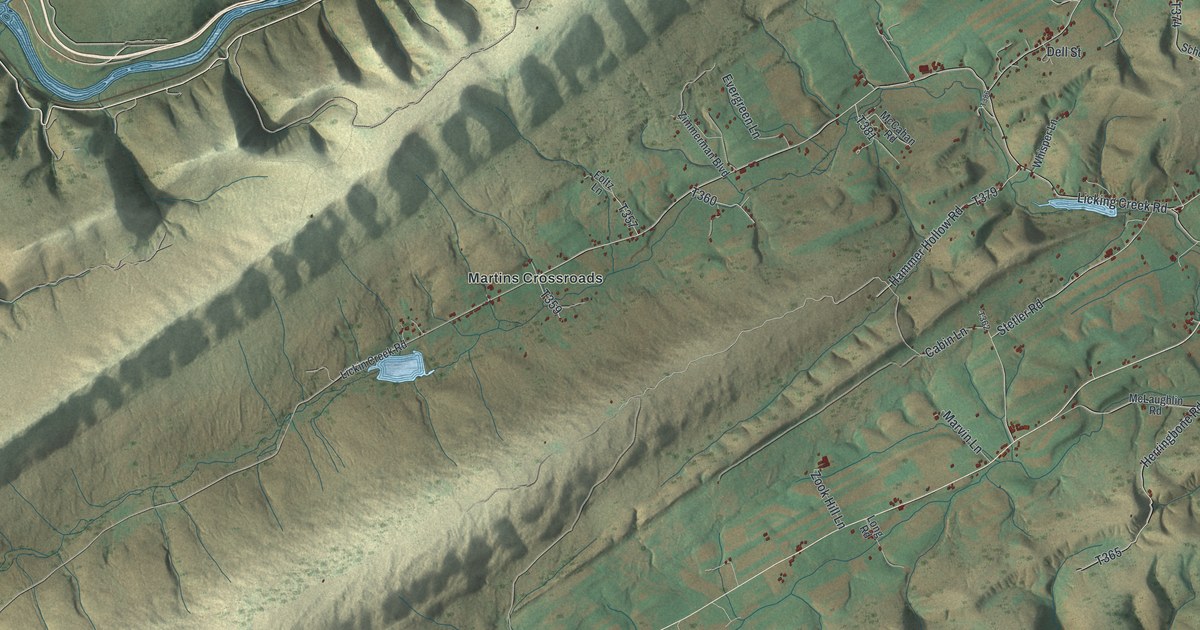
This beautifully detailed map of Milford, Juniata County, Pennsylvania was created in 2026 using aerial imagery combined with modern topographical, census, street and landmark data. It’s a one-of-a-kind view of Milford that combines accurate data with a vintage aesthetic. The map shows every building in its true location, many of the roads carry their names, and the shaded topographic relief shows the shape of the land.
Explore an aerial view of Milford, Juniata County, Pennsylvania
On the map you’ll find Tuscarora State Forest, Denholm, Hawstone, Martins Crossroads, and Rockville, along with West Licking Street, Lions Club Pk Road, Licking Creek Road, Muddy Run Road, Groninger Valley Creek Road, and more. If you look closely you can even find your house accurately drawn in its correct location. Zoom in on the preview to look for yours.
Did you know this piece of Milford, Juniata County, Pennsylvania history?
Milford Township was created in 1768 by the court of Cumberland County, which then held this land. Settlers asked for it because Lack Township stretched more than thirty miles, making township offices hard to run. The name Milford comes from mill-ford, the crossing at the mill. That’s from the 1886 History of the Susquehanna and Juniata Valleys.
Take a closer look at the Milford, Juniata County map
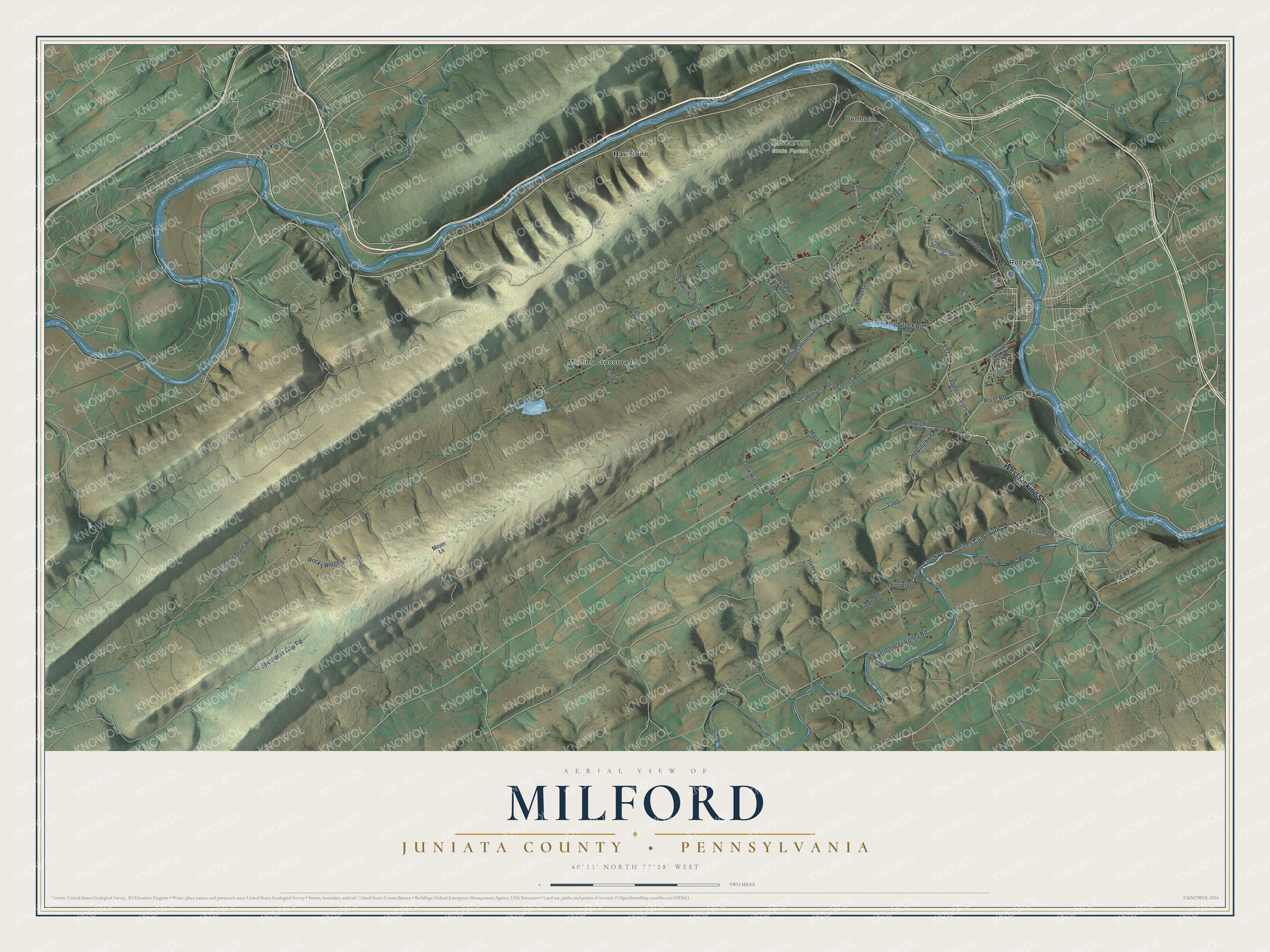
Street and place names on the Milford, Juniata County, Pennsylvania map
These names are printed on the map of Milford, Juniata County, Pennsylvania.
Places: Tuscarora State Forest, Denholm, Hawstone, Martins Crossroads and Rockville.
Streets and roads: West Licking Street, Lions Club Pk Road, Licking Creek Road, Muddy Run Road, Groninger Valley Creek Road, Groninger Valley Road, River Road, Stetler Road, Spectacle Gap Road, Ridge Road, Herringbone Road, Henry Road.
More street names, A to Z
Blind Lane, Brindle Street, Cabin Lane, Cookie Lane, Crestview Drive, Dell Street, Denholm Road, Dressler Street, Engel Lane, Evergreen Lane, Foltz Lane, Forge Hill Lane, Hammer Hollow Road, Lickin Creek Road, Long Road, Marvin Lane, Mayer Road, McCahan Road, McLaughlin Road, Moyer Lane, Orchard Hills Drive, Rocky Ridge Lane, Schoolhouse Road, Varnes Road, Vincent Tram Road, Water Company Road, Whisper Lane, Zimmerman Boulevard, Zook Hill Lane, Zook Road.
See the Milford, Juniata County, Pennsylvania map on a wall
The Milford, Juniata County map as an 18 x 24 inch print in a black frame.

This beautifully detailed map of Milford, Juniata County makes an attractive addition to your office, library, or den, and it can even be used to teach children the geography and history of the area. It also makes a great gift for anyone who grew up in Milford or moved away. When you’re done exploring, click here to get your copy of the Milford, Juniata County map.