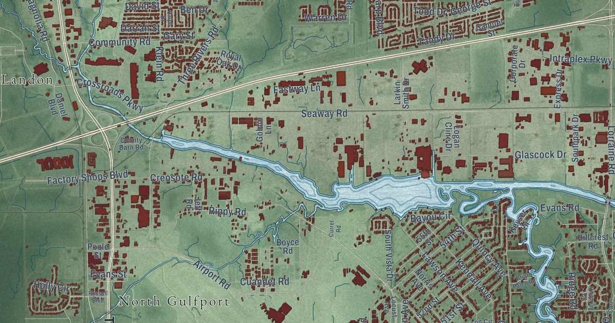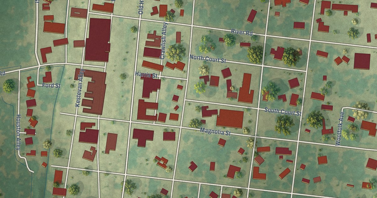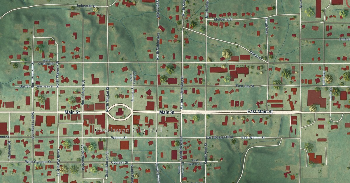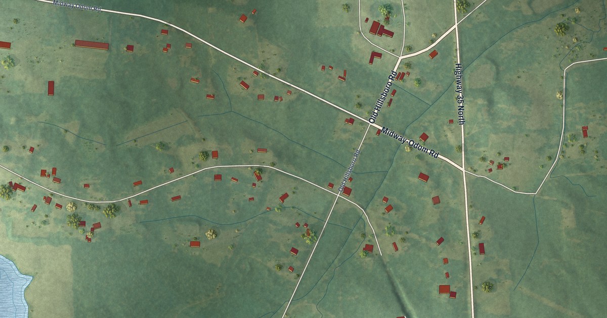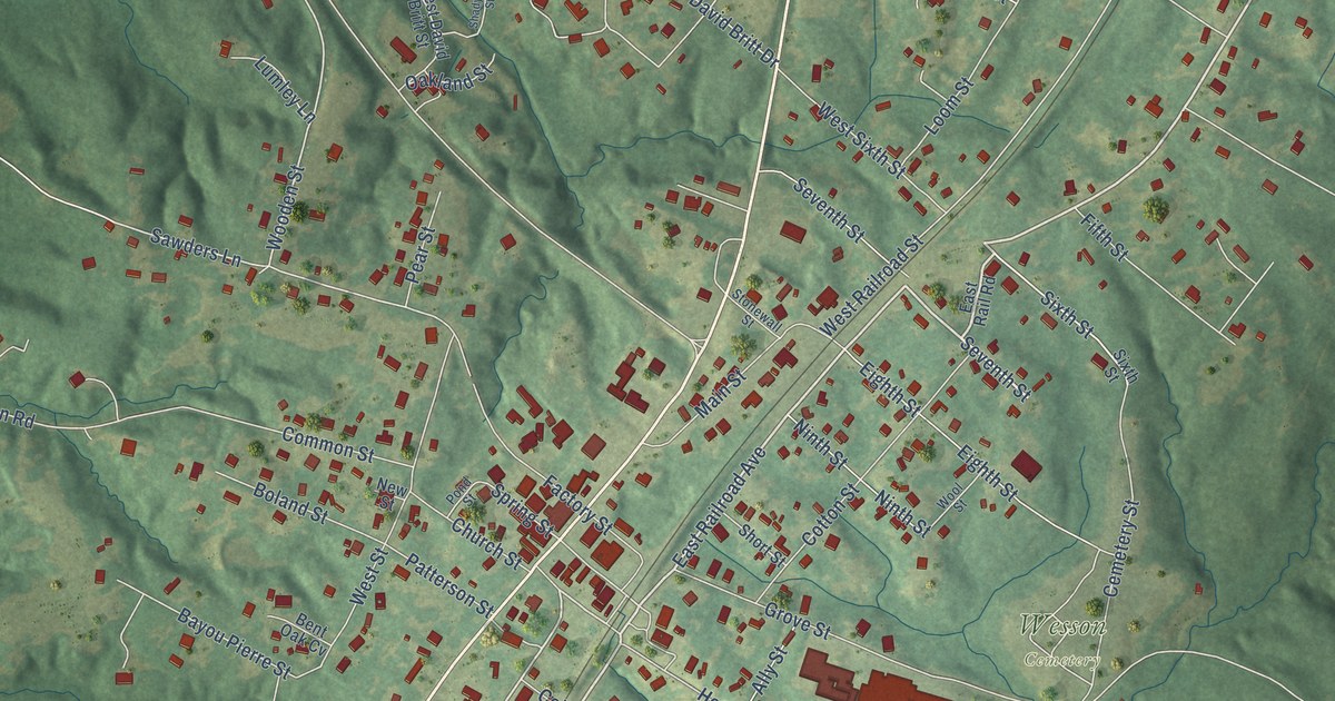
This beautifully detailed map of Wesson, Mississippi was created in 2026 using aerial imagery combined with modern topographical, census, street and landmark data. It’s a one-of-a-kind view of Wesson that combines accurate data with a vintage aesthetic. The map shows every building in its true location, many of the roads carry their names, and the shaded topographic relief shows the shape of the land.
Explore an aerial view of Wesson, Mississippi
On the map you’ll find Wesson Cemetery, along with Highway 51, East Railroad Avenue, Seventh Street, Pine Street, Wesson Road, Beech Street, Milltowne Drive, Robinson Street, Old Highway 51, Sixth Street, Wooden Street, and more. If you look closely you can even find your house accurately drawn in its correct location. Zoom in on the preview to look for yours.
Did you know this piece of Wesson, Mississippi history?
Wesson was first called Messina. In 1864 it was renamed for Colonel James Madison Wesson, who opened a lumber mill that year. In 1866 he started a textile mill, which new owners renamed Mississippi Mills. Fire destroyed the mills in 1873, and four new buildings went up over the next two decades.
Take a closer look at the Wesson map
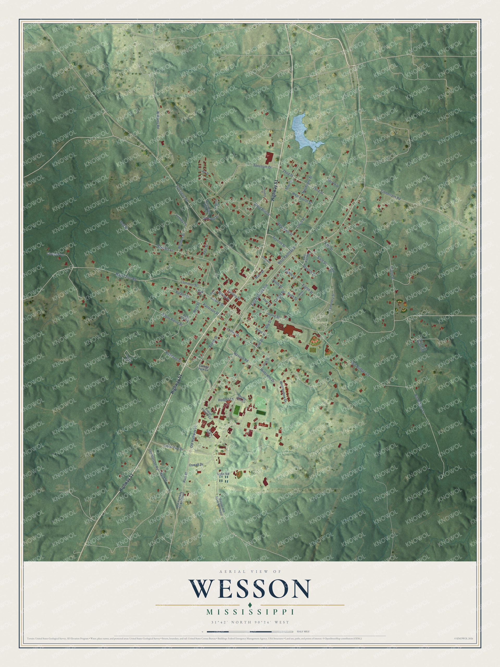
Street and place names on the Wesson, Mississippi map
These names are printed on the map of Wesson, Mississippi.
Places: Wesson Cemetery.
Streets and roads: Highway 51, East Railroad Avenue, Seventh Street, Pine Street, Wesson Road, Beech Street, Milltowne Drive, Robinson Street, Old Highway 51, Sixth Street, Wooden Street, Well Street.
More street names, A to Z
Ally Street, Bayou Pierre Street, Bent Oak Cv, Bill Bridges Lane, Boland Street, Brier Street, Byrd Street, Cemetery Street, Choctaw Lane, Church Street, College Park Circle, Collier Street, Common Street, Copiah Lincoln Circle, Cotton Street, David Britt Drive, East Rail Road, Eighth Street, Factory Street, Fifth Street, Fourth Street, Goza Trail Northeast, Grover Smith Lane, Grove Street, Gum Street, Hill Street, Hodges Lane, Hotel Street, Isydora Street, Lake Road, Lester Furr Drive, Loom Street, Lumley Lane, Machinery Street, Main Street, Mission Hill Road Northeast, Mount Zion Road, New Street, Ninth Street, Oakland Street, Oak Street, Old Highway 51 Northeast, Old Wesson Road, Oswalt Drive, Patterson Street, Pear Street, Pond Street, Sawders Lane, Second Street, Shadyside Street, Shelby Pitts Circle, Short Street, Spectrum Drive, Spring Street, Stonewall Street, Sylvarena Road, Tannahill Street, Third Street, Timberlane Road, West David Britt Street, West Fourth Street, West Railroad Street, West Sixth Street, West Street, Will Bridges Lane, Williams Road, Wolf Hollow Drive, Wool Street.
See the Wesson, Mississippi map on a wall
The Wesson map as an 18 x 24 inch print in a black frame.

This beautifully detailed map of Wesson makes an attractive addition to your office, library, or den, and it can even be used to teach children the geography and history of the area. It also makes a great gift for someone who left Wesson and still calls it home. When you’re done exploring, click here to get your copy of the Wesson map.