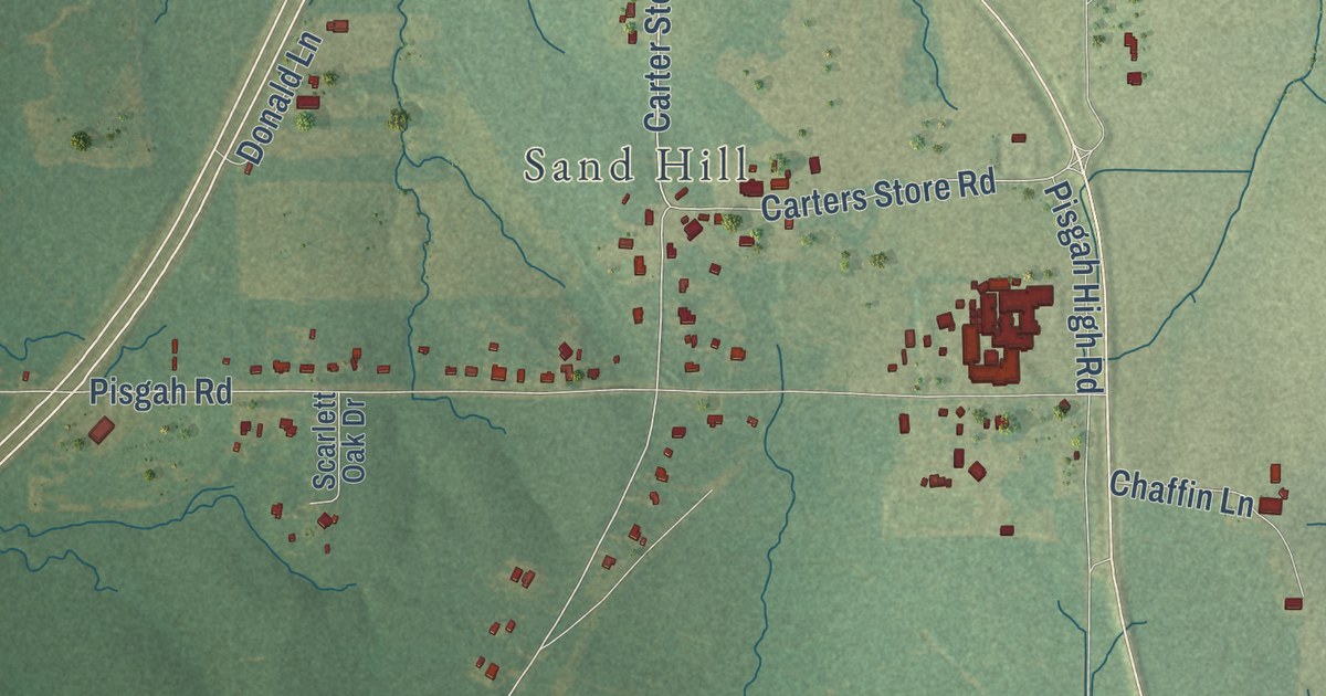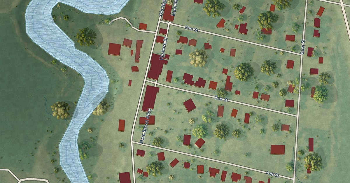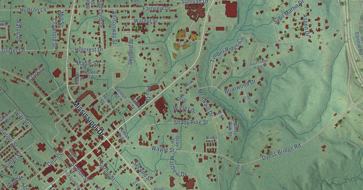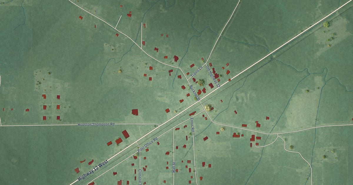
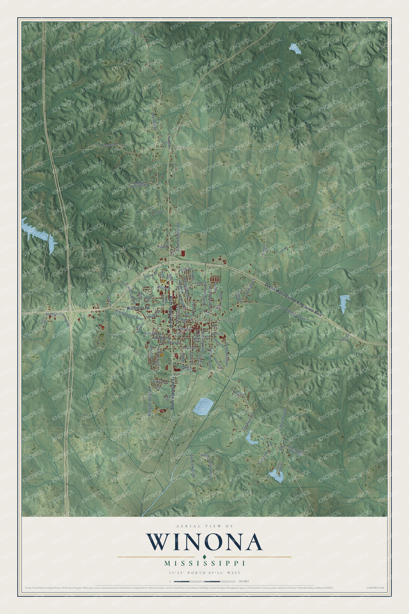
This beautifully detailed map of Winona, Mississippi was created in 2026 using aerial imagery combined with modern topographical, census, street and landmark data. It’s a one-of-a-kind view of Winona that combines accurate data with a vintage aesthetic. The map shows every building in its true location, many of the roads carry their names, and the shaded topographic relief shows the shape of the land.
Explore an aerial view of Winona, Mississippi
On the map you’ll find Winona City Hall and Sawyer, along with Doctor Martin Luther King Junior Boulevard, North Applegate Street, South Applegate Street, Middleton Road, North Union Avenue, South Union Avenue, Old Legion Lake Road, Summit Street, Lodi Road, Pecan Lane, and more. If you look closely you can even find your house accurately drawn in its correct location. Zoom in on the preview to look for yours.
Did you know this piece of Winona, Mississippi history?
From the National Park Service: "Middleton was a community located about two miles east of the present site of Winona on the Mississippi Central Railroad. After the railroad bypassed Middleton, the citizens gradually moved to what is now known as Winona."
Take a closer look at the Winona map
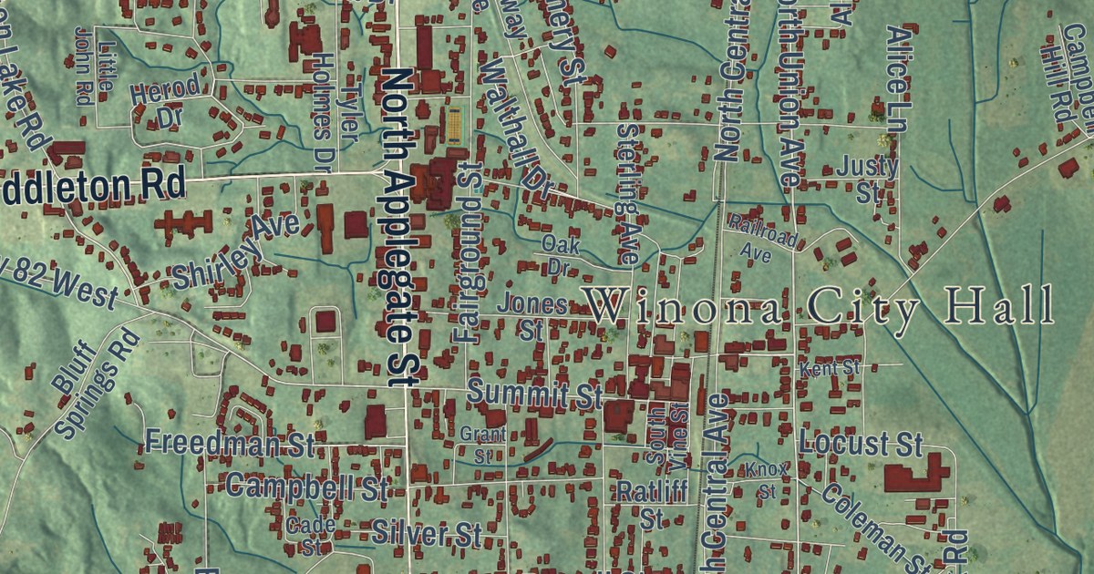
Street and place names on the Winona, Mississippi map
These names are printed on the map of Winona, Mississippi.
Places: Winona City Hall and Sawyer.
Streets and roads: Doctor Martin Luther King Junior Boulevard, North Applegate Street, South Applegate Street, Middleton Road, North Union Avenue, South Union Avenue, Old Legion Lake Road, Summit Street, Lodi Road, Pecan Lane, Walthall Drive, New Hope Road.
More street names, A to Z
Academy Street, Alberta Drive, Alice Lane, Allen Street, Barron Street, Billingsley-Baskin Road, Birch Drive, Bluff Springs Road, Branch Street, Burns Road, Burton Drive, Cade Street, Campbell Hill Road, Campbell Street, Cemetery Street, Church Street, Coleman Street, Country Club Road, Curtis Road, Devine Street, Enterprise Drive, Evans Drive, Fairground Street, Forest Lane, Freedman Street, Garrett Road, Gentsch Street, Grant Street, Graysport Road, Greensboro Street, Hathcock Road, Herod Drive, Industrial Park Road, Jones Street, Justy Street, Kent Street, Kimberly Street, Knox Street, Little John Road, Locke Lane, Locust Street, Lower Milligan Springs Road, Lynn Drive, Montgomery Street, Nable Street, New Hope Road Extended, North Central Avenue, Northwood Drive, Oak Drive, Old Highway 51 North, Old Highway 82 East, Old Highway 82 West, Pearl Street, Pine Lane, Poor House Road, Powell Street, Railroad Avenue, Ratliff Street, Redell Drive, Sawyer Road, Scotland Road, Shady Lane, Shirley Avenue, Silver Street, Simpson Drive, South Central Avenue, South Central Extended, South Vine Street, Southwest Frontage Road, Speedway Avenue, Stafford Wells Loop, Stafford Wells Road, Sterling Avenue, Tom Bibbs Road, Tyler Holmes Drive.
See the Winona, Mississippi map on a wall
The Winona map as an 18 x 24 inch print in a black frame.

This beautifully detailed map of Winona makes an attractive addition to your office, library, or den, and it can even be used to teach children the geography and history of the area. It also makes a great gift for anyone with Winona roots. When you’re done exploring, click here to get your copy of the Winona map.