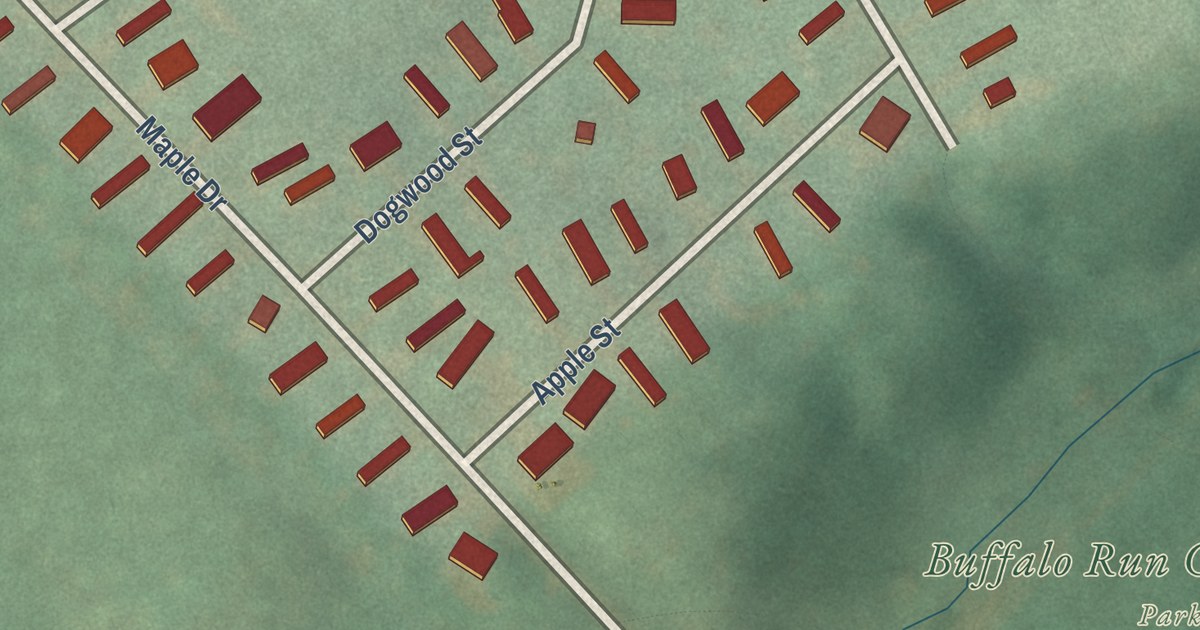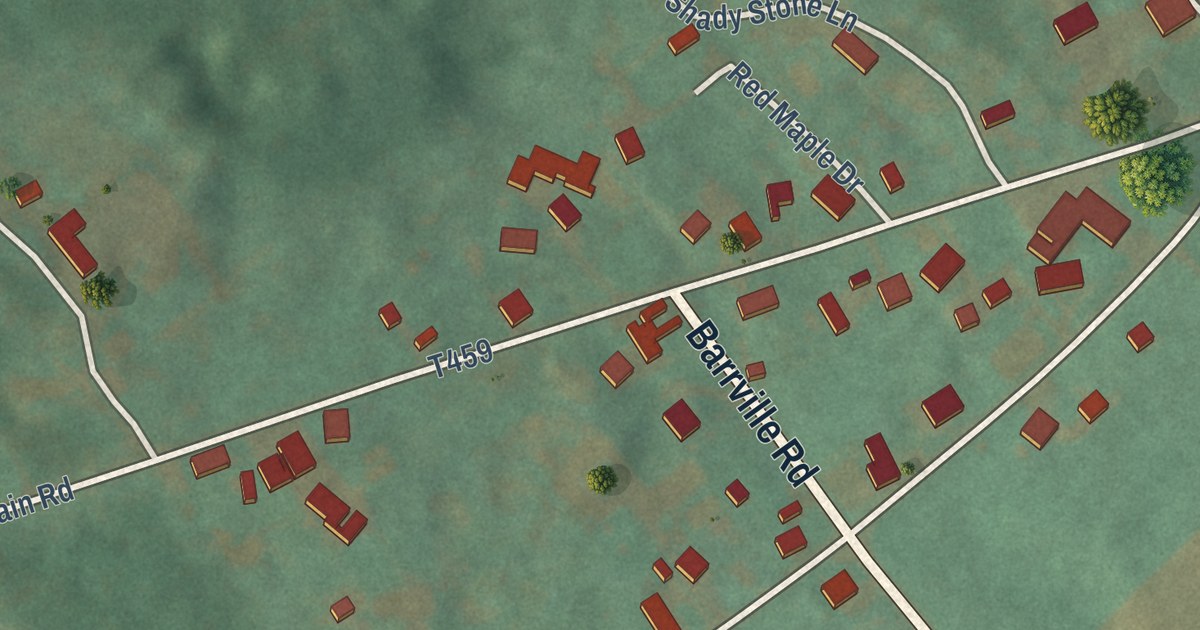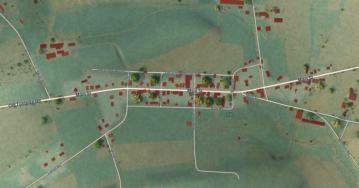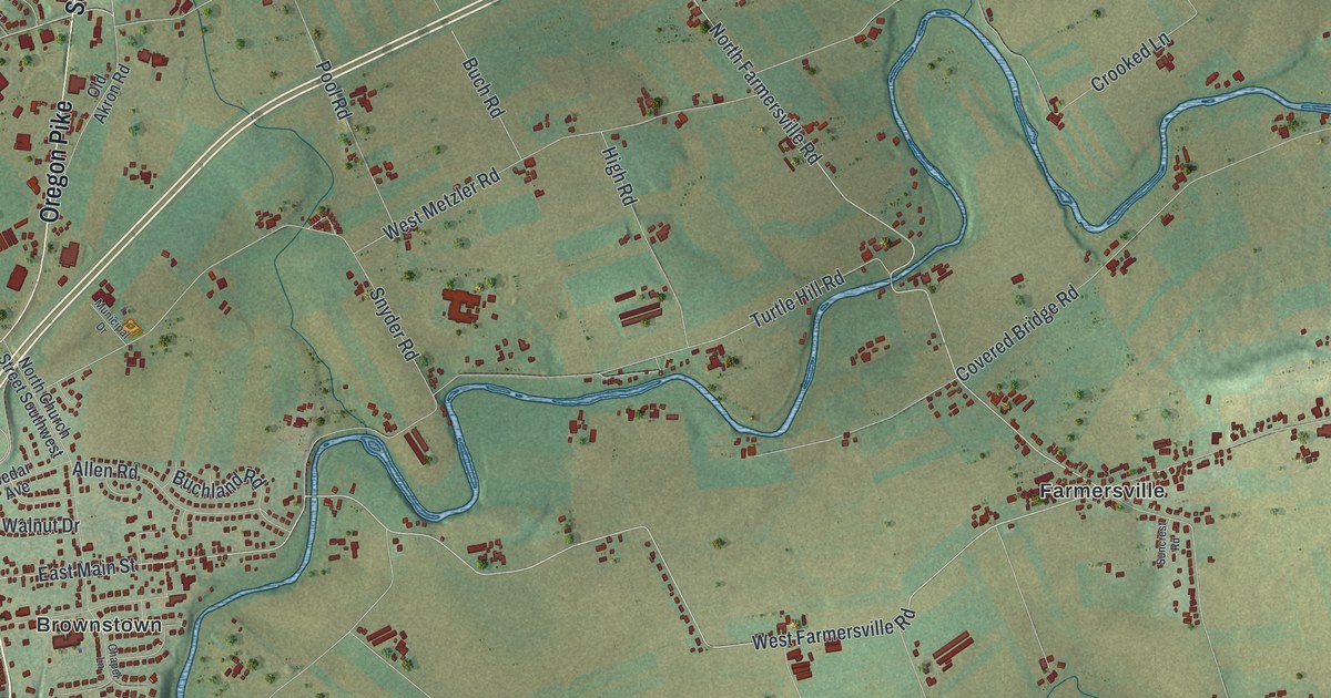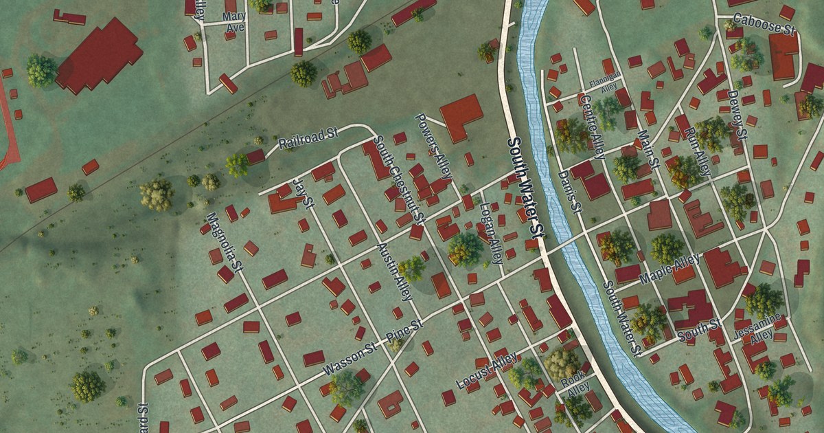
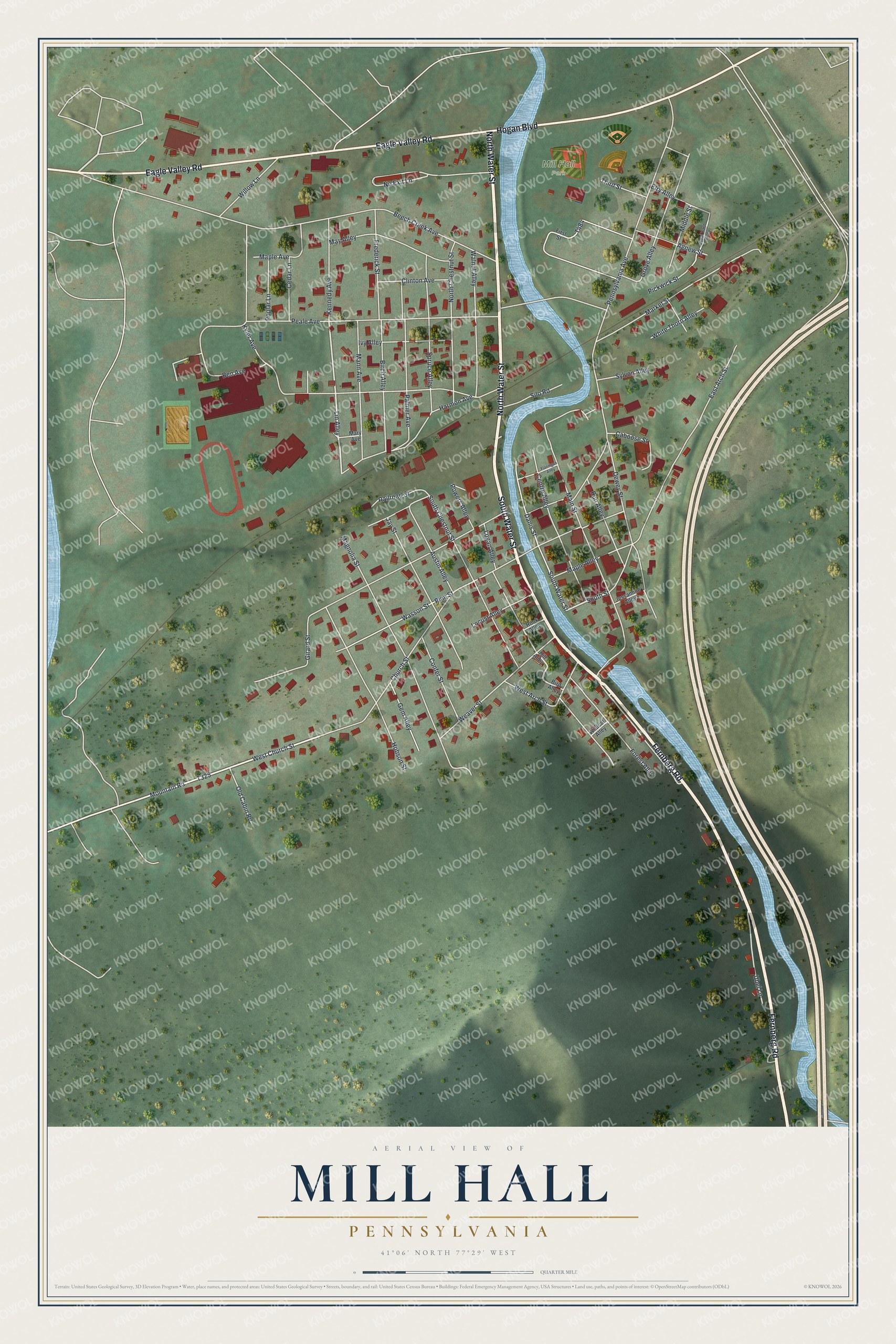
This beautifully detailed map of Mill Hall, Pennsylvania was created in 2026 using aerial imagery combined with modern topographical, census, street and landmark data. It’s a one-of-a-kind view of Mill Hall that combines accurate data with a vintage aesthetic. The map shows every building in its true location, many of the roads carry their names, and the shaded topographic relief shows the shape of the land.
Explore an aerial view of Mill Hall, Pennsylvania
On the map you’ll find Mill Hall Park, along with Fernberg Road, North Water Street, South Water Street, Eagle Valley Road, Hogan Boulevard, Mountain Road, Weaver Street, Lin Alley, South Street, Church Street, and more. If you look closely you can even find your house accurately drawn in its correct location. Zoom in on the preview to look for yours.
Did you know this piece of Mill Hall, Pennsylvania history?
From the History of Centre and Clinton Counties: "In 1848 a second school-house was erected in Mill Hall, and two years later the village was incorporated as a borough. In 1871 the old school-houses of the borough were abandoned, and a new one built, so arranged as to accommodate three grades on the same floor."
Take a closer look at the Mill Hall map
Street and place names on the Mill Hall, Pennsylvania map
These names are printed on the map of Mill Hall, Pennsylvania.
Places: Mill Hall Park.
Streets and roads: Fernberg Road, North Water Street, South Water Street, Eagle Valley Road, Hogan Boulevard, Mountain Road, Weaver Street, Lin Alley, South Street, Church Street, Beech Creek Avenue, Peale Avenue.
More street names, A to Z
Agnew Street, Austin Alley, Ben Avenue, Birch Alley, Bird Alley, Caboose Street, Cedar Lane, Centre Alley, Clinton Avenue, Coal Yard Alley, Confer Street, Danis Street, Dewey Street, East Arch Street, Elry Alley, First Street, Flannigan Alley, Forest Alley, Frederick Street, Gem Alley, Girard Street, Grove Alley, Harmon Avenue, Hill Alley, Hobson Street, Ivy Alley, Jay Street, Jessamine Alley, Kennedy Avenue, Kyler Avenue, Locust Alley, Logan Alley, Magnolia Street, Main Street, Mann Avenue, Maple Alley, Maple Avenue, Market Street, Mary Avenue, May Alley, Middle Street, No Exit Lane, North Chestnut Street, Old Cabin Road, Palmer Avenue, Pennsylvania Avenue, Pickwick Street, Pine Street, Poplar Lane, Powers Alley, Railroad Street, Rook Alley, Run Alley, Silo Road, South Chestnut Street, Spruce Alley, Sylvon Alley, Third Street, Ubel Lane, Walnut Alley, Wasson Street, West Arch Street, West Church Street, White Thorn Alley, Wildcat Alley, Willow Lane.
See the Mill Hall, Pennsylvania map on a wall
The Mill Hall map as an 18 x 24 inch print in a black frame.

This beautifully detailed map of Mill Hall makes an attractive addition to your office, library, or den, and it can even be used to teach children the geography and history of the area. It also makes a great gift for anyone who grew up in Mill Hall or moved away. When you’re done exploring, click here to get your copy of the Mill Hall map.