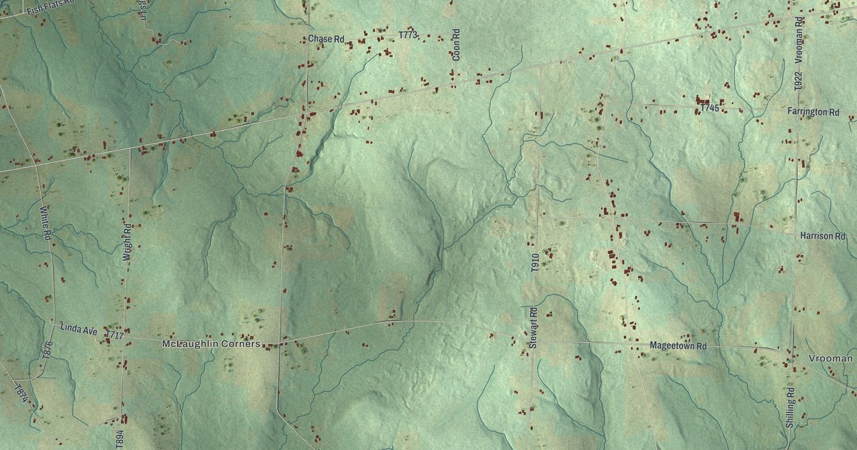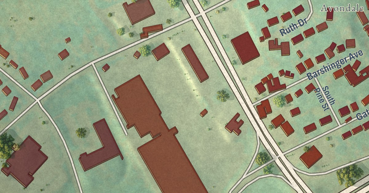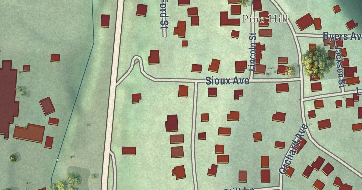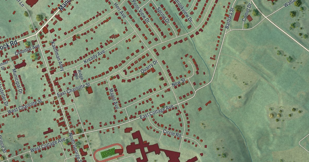
This beautifully detailed map of Millersville, Pennsylvania was created in 2026 using aerial imagery combined with modern topographical, census, street and landmark data. It’s a one-of-a-kind view of Millersville that combines accurate data with a vintage aesthetic. The map shows every building in its true location, many of the roads carry their names, and the shaded topographic relief shows the shape of the land.
Explore an aerial view of Millersville, Pennsylvania
On the map you’ll find Crossgates Golf Club, Colonial Manor, Quaker Hills, and Wynn Wood Manor, along with Manor Avenue, Millersville Road, Millersville Pike, Blue Rock Road, North George Street, West Frederick Street, East Cottage Avenue, Brooks Drive, and more. If you look closely you can even find your house accurately drawn in its correct location. Zoom in on the preview to look for yours.
Did you know this piece of Millersville, Pennsylvania history?
From the Pennsylvania Historical and Museum Commission: "Founded 1855 as the Lancaster County Normal School, it was named the first Pennsylvania State Normal School, 1859. Fully Commonwealth-owned after 1917, Millersville became a State Teachers College in 1928, and a State College for liberal arts and education, 1960. Since 1983, it has been Millersville University of Pennsylvania of the State System of Higher Education."
Take a closer look at the Millersville map
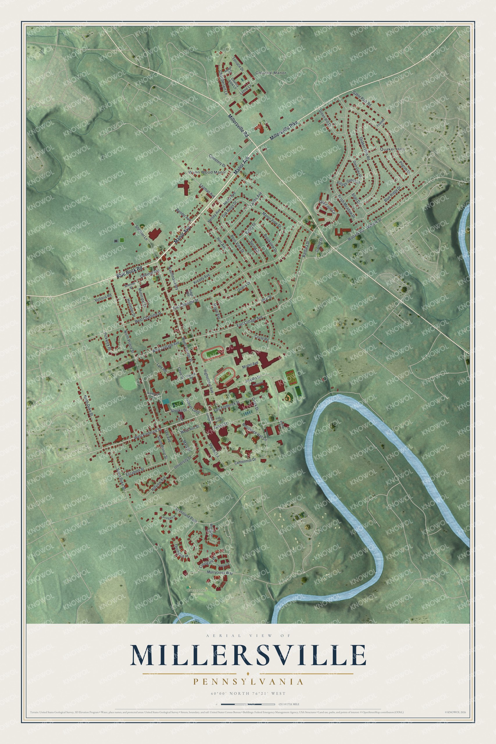
Street and place names on the Millersville, Pennsylvania map
These names are printed on the map of Millersville, Pennsylvania.
Places: Crossgates Golf Club, Colonial Manor, Quaker Hills and Wynn Wood Manor.
Streets and roads: Manor Avenue, Millersville Road, Millersville Pike, Blue Rock Road, North George Street, West Frederick Street, East Cottage Avenue, Brooks Drive, Barbara Street, Leaman Avenue, Oak Knoll Circle, Oak Ridge Drive.
More street names, A to Z
Allan Drive, Bender Avenue, Bishop Road, Blue Ridge Drive, Boyer Street, Brenner Street, Brookview Drive, Bunker Hill, Cemetery Drive, Centennial Drive, Chamberlain Lane, Circle Road, Colonial Avenue, Comet Drive, Country View Lane, Cove Drive, Creek Drive, Crestgate Place, Crossland Pass, Dilworth Road, East Anne Street, East Charlotte Street, East Frederick Street, Elizabeth Street, Fresh Meadow Drive, Friends Lane, Gable Park Road, Ganser Loop, Glen Oaks Drive, Green Hill Drive, Heasy Avenue, Heisey Avenue, Hemlock Lane, Herr Avenue, Highschool Avenue, Hillview Avenue, Hostetter Drive, James Street, Kauffman Alley, Kready Avenue, Landis Avenue, Laurelgate Place, Lee Avenue, Lynne Lane, Lyte Road, Manor View Drive, Maple Avenue, Mary Street, Model Avenue, Municipal Drive, Murrycross Way, New Street, North Duke Street, North Prince Street, Penn View Drive, Pickwick Place, Pilgrim Drive, Pucillo Drive, Quaker Hills Road, Quarry Drive, Residence Hall Circle, Ridge Avenue, Science Lane, Shenks Lane, Shertzer Lane, South Duke Street, South George Street, South Prince Street, Spring Drive, Tanglegate Place, Terrace Drive, Thorngate Place, University Drive, Valley Drive, Victoria Road, Village Green Lane, Wabank Road, Wabank Street, West Ann Street, West Charlotte Street, West Cottage Avenue, Windgate Court.
See the Millersville, Pennsylvania map on a wall
The Millersville map as an 18 x 24 inch print in a black frame.

This beautifully detailed map of Millersville makes an attractive addition to your office, library, or den, and it can even be used to teach children the geography and history of the area. It also makes a great gift for anyone who grew up in Millersville or moved away. When you’re done exploring, click here to get your copy of the Millersville map.